Econ 212: GIS
Library Session
Ryan Clement | go/ryan/
who am I?
- I'm Ryan, the Data Services Librarian
- I use he/him/his pronouns
- I work with the Economics, Geography, Sociology/Anthropology, & Philosophy departments
- I help people find and use data
- I can help with all stages of your research!
- You can find more at go/ryan/
what are we covering today?
- what is GIS? what is spatial data?
- what can you use GIS for?
- using QGIS to extract data from a spatial data file
First...what is GIS?
- GIS stands for Geographic Information System
- GIS is a tool used to capture, store, manipulate, analyze, manage, and present geographic data
- The data used with GIS is spatial data (data that is referenced to points on the Earth)
- GIS is not a map!
maps are made of layers
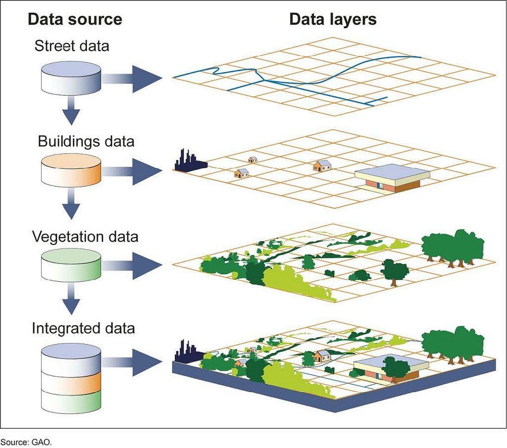
What are our possible layers?
- basemap
- state/administrative borders
- locations of places (e.g. mine locations)
- satellite data (e.g. nighttime light data)
- etc...
Let's make a map!
Econ
By Ryan Clement


