ArcGIS Online Developers Guide to
content and services
David Martinez
John Yaist
DevSummit DC
February 26, 2016 | Washington, DC

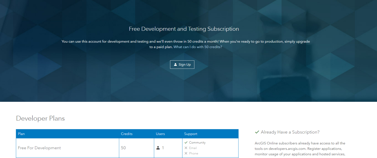
What Can you Do

dev Subscription
use the Viewer Approach
It Starts with a Web Map
- ArcGIS Online Map Viewer
- Choose basemap
- Add layers
- Style layers
- Create, Edit, Share
demo
Content
services
Geocoding
Geocoding
Return a List of Candidates
http://geocode.arcgis.com/arcGIS/rest/services/World/GeocodeServer/findAddressCandidates?Address=380+New+York+Street&City=Redlands&State=CA&Zip=92373
Batch Geocode
http://geocode.arcgis.com/arcgis/rest/services/World/GeocodeServer/geocodeAddresses?addresses={"records":[{"attributes":{"OBJECTID":1,"STREET":"440 Arguello Blvd","ZONE":"94118"}}]}&outSR=&f=pjson
demo
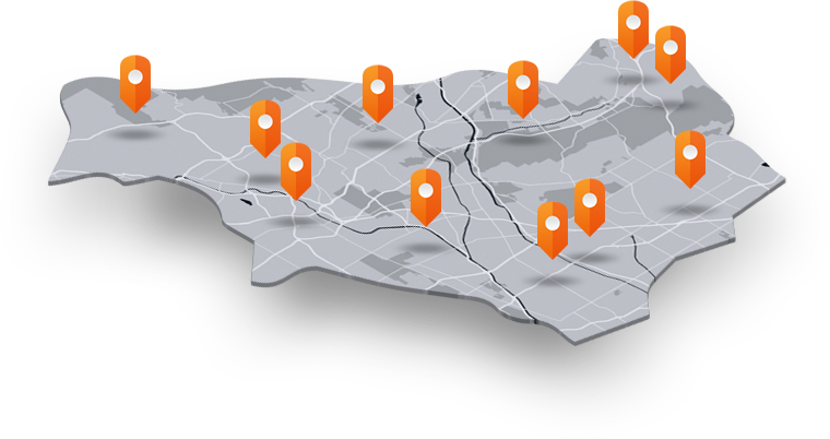
Features
Create from Scratch
- ArcGIS for Developers
- Create Dataset
- Define schema interactively
- ArcGIS Online Map View to add data
Import data
- ArcGIS Online
- Use "Add Item"
- View and Query REST endpoint
demo
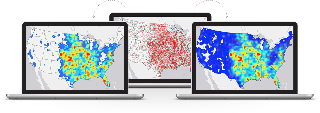
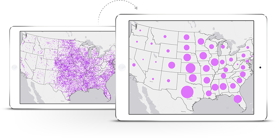
analysis
demo
Patterns
- Templates
- Builders
- APIs
App Templates
- Share
- Configure
- Save
- Re-configure
- Download code
- Build/host your own
Web AppBuilder
- Share
- Configure
- Save
- Re-configure
- Download (option)
- Build/host your own
ArcGIS JS API
- ArcGIS for Developers
- Samples and sandbox
- Use your own webmapID!
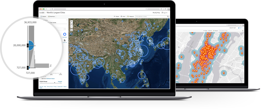
Apps from Layers
ArcGIS JS API 3.x/4.0
- Get REST endpoints
- Load into map
- Sort/order
- Default symbols or override
Esri-Leaflet
- Get REST endpoints
- Load into map
- Sort/order
- Default symbols or override
- HINT: Use Esri-Leaflet-Renderer!
Geojson
- Access directly
- ArcGIS JS - geojson-layer-js
- Esri-Leaflet - geojson
Developer Guide
By dmart


