
Esri: The ArcGIS Platform
The ArcGIS Platform
Developing with Geographic Services
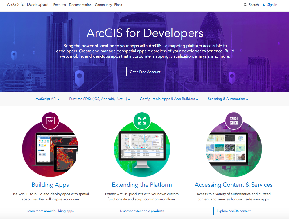
https://developers.arcgis.com/
NCOPEN
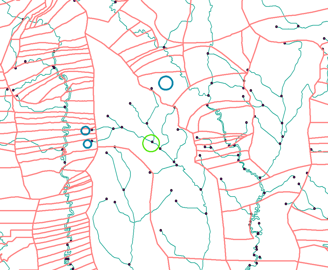
Geographic Data
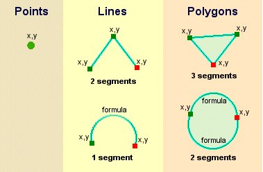
Feature Services
Making real-world objects (features) and characteristics (attributes) accessible through Web Requests
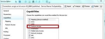
Map Service
Key Word: Availability
- maps, features, and attributes all available over the web
- you control how users interact
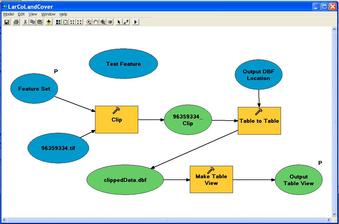
Geoprocessing Services
Geoprocessing services provide framework to automate workflows and expose analytical capabilities of GIS:
How?
Building a model to combine a series of operations, then exposing the model as a tool.
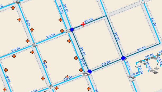
Geometry Service
Editing and Calculation Functionality exposed through a Web Service:
-
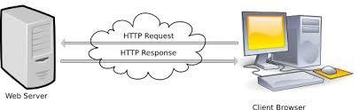
REST API can be queried by any language HTTP Requests
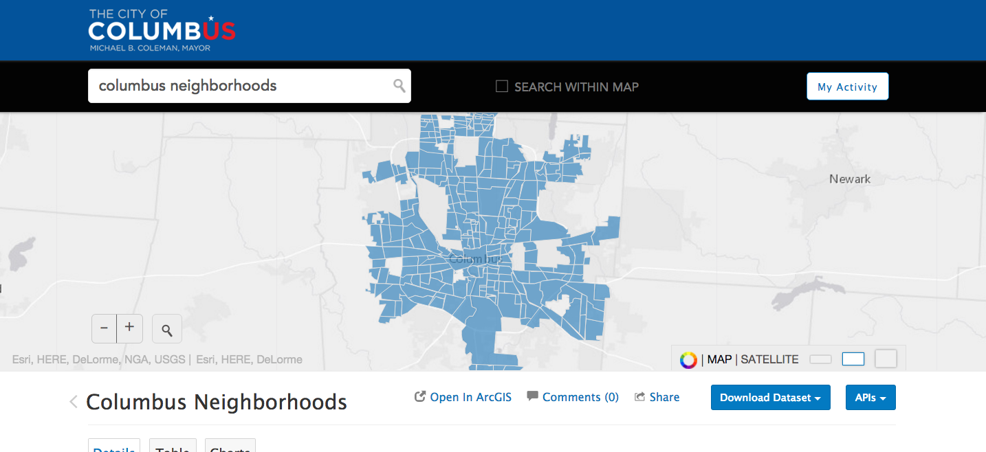
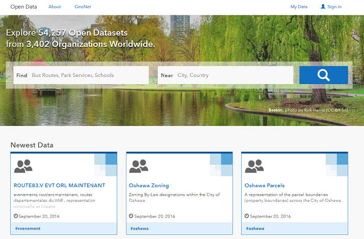
ArcGIS Open Data
http://opendata.arcgis.com
Free with ArcGIS Online
- Most Local Government's own access to ArcGIS Online
- Esri's cloud mapping platform
- Connect to data on-premises, in the cloud, or to data hosted in ArcGIS Online.
- Trustworthy, high-quality, authoritative data - for entrepreneurs...for the public...for anyone
- Lowers risk for small businesses and entry barriers for startups
ArcGIS Open Data
Esri Hub Initiatives
Open Data with a Purpose
Text
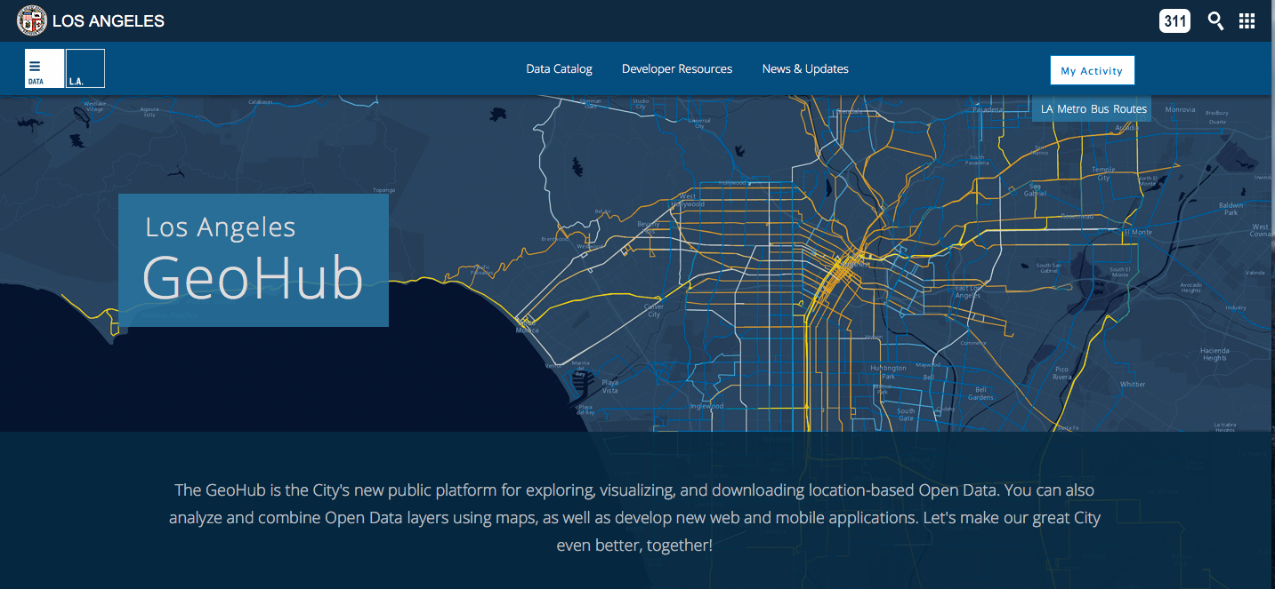
- Solutions, Datasets, Apps organized around specific initiatives with defined metrics.
- Templates for specific solutions - map your names to these ready-to-use templates
http://geohub.lacity.org/
Bexar County, TX
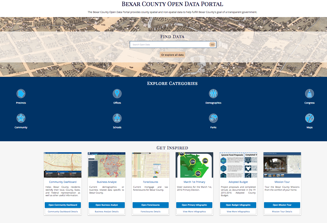
http://gis.bexar.opendata.arcgis.com/
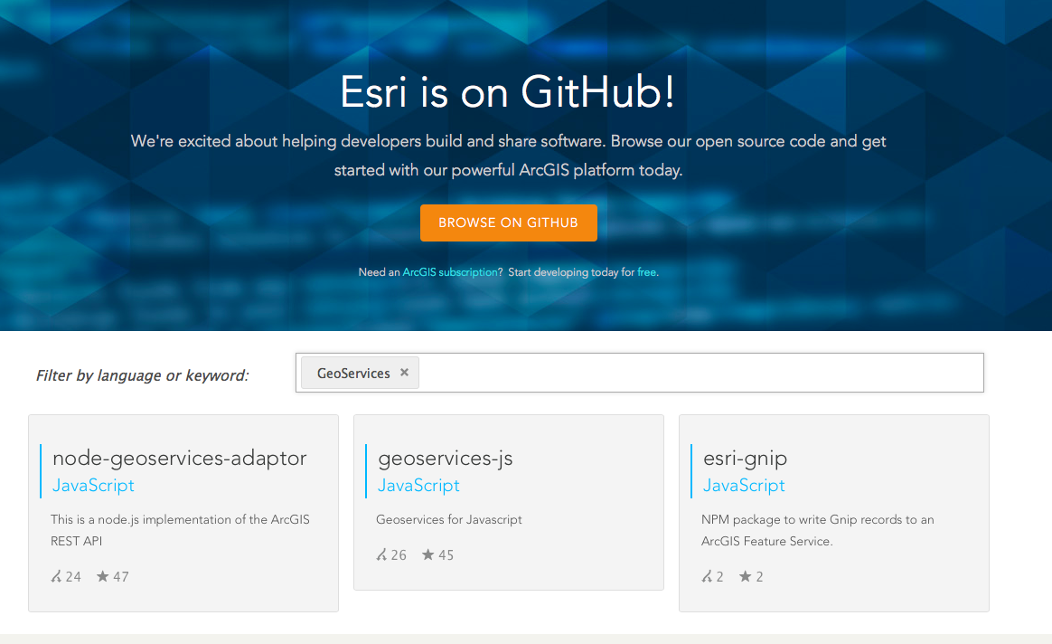
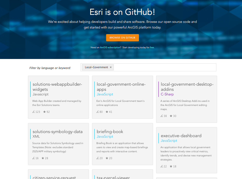
Esri on GitHub http://esri.github.io
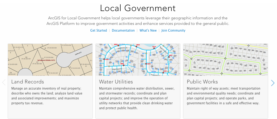
Local Government Ready-To-Use Solutions
http://solutions.arcgis.com
http://esri.github.io/#Local-Government
Configurables
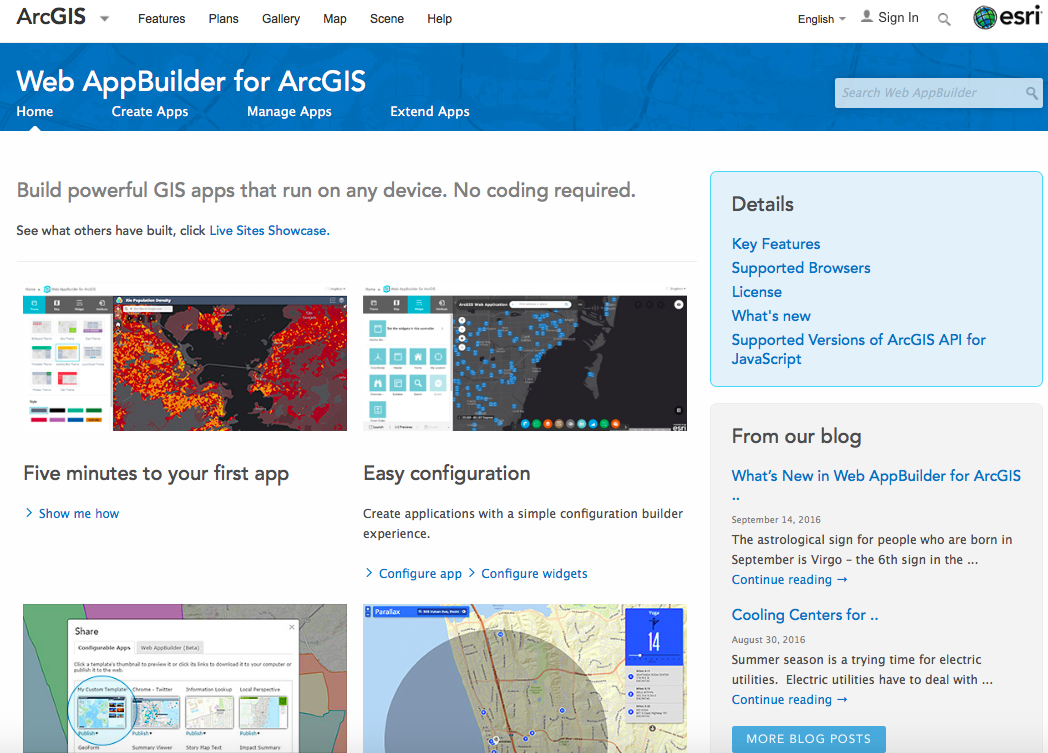
Web App Builder http://doc.arcgis.com/en/web-appbuilder/
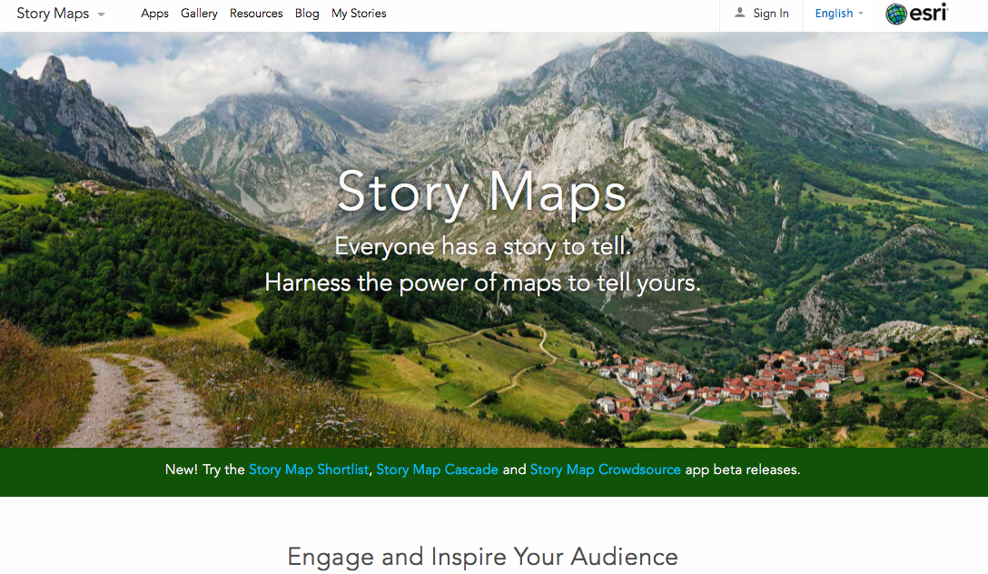
Story Maps https://storymaps.arcgis.com/en/
NC Open Pass: ArcGIS - The Civic Engagement Platform
By John Yaist


