
Esri: The ArcGIS Platform

ArcGIS Tech Briefing

John Yaist
@TheMapHaps
jyaist@esri.com
Links
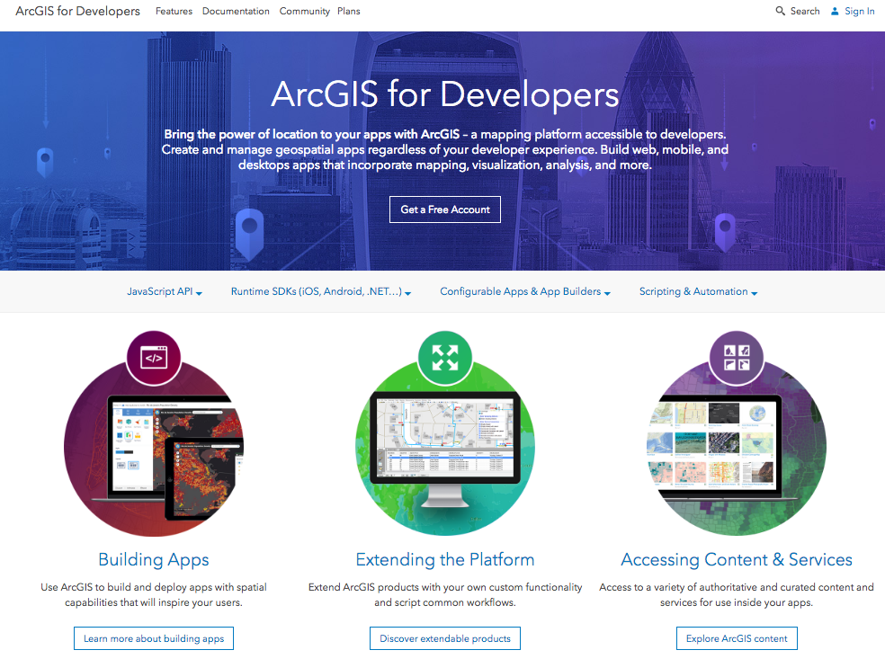
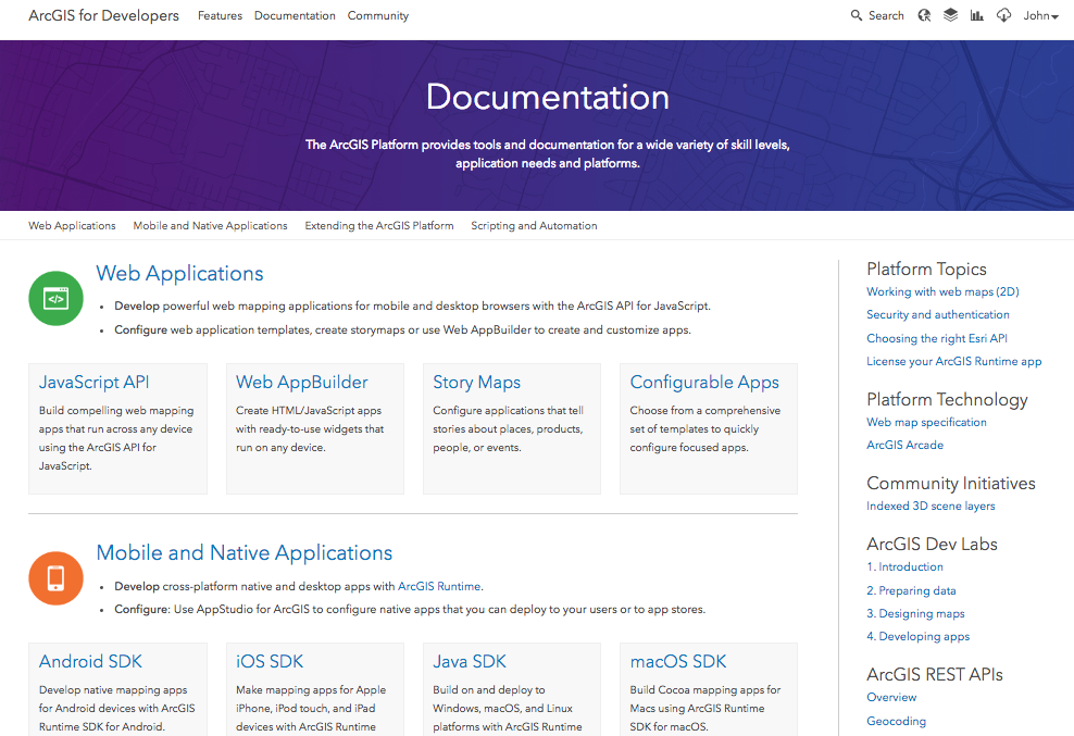
ArcGIS for Developers website
- developers.arcgis.com
These slides
- esriurl.com/viterbi
GIS
Geographic Information Systems
* Variety of mapping functions integrated into nearly all industries
* Geography Matters - connects all cultures and societies
* Increases communication and collaboration opportunities
Key Functionality
* Answer questions, test predictions, examine relationships
* Create, edit, ensure quality of geographic data
* Produce professional quality maps
* Manage, store, retrieve, and analyze data more efficiently
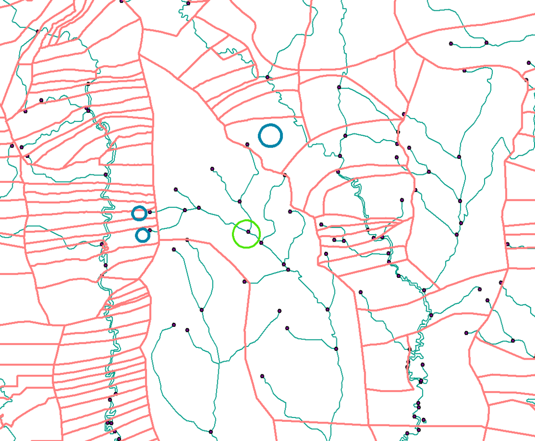
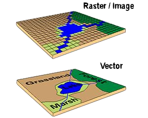
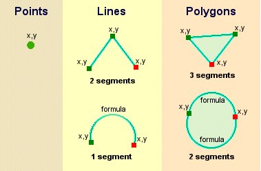
Geographic Data
Reflects traditional data found on a map
Spatial data
describes the absolute and relative
location of geographic features
Attribute data
describes quantitative and/or qualitative
characteristics of the spatial features,
often to as tabular data
Geographic Data
Geographic Data
Information Layering
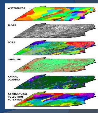
Storage and overlays -
* layering of interactions
exposing spatial correlations
Maps reveal relationships between seemingly unrelated things or events
The ArcGIS Platform
Developing with Geographic Services
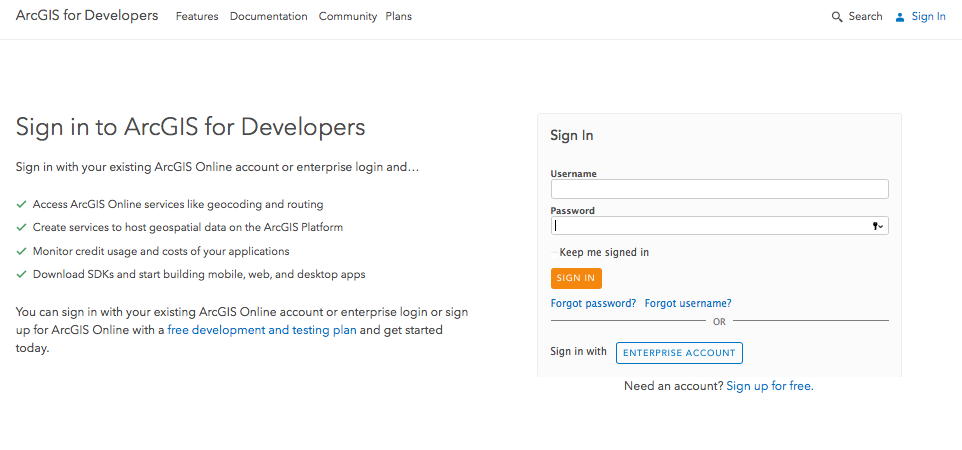
Developer Subscription
free
APIs, SDKs
App Templates, App Builders
Samples, Documentation
Maps, Apps, Web Services, Data
developers.arcgis.com
https://developers.arcgis.com/
1000 Free Credits
USCWHIZ
- Create Account
- Log In
- Click on your Account Name (upper right corner)
- Select Redeem Voucher
- Enter Code....BAM!
How to redeem voucher


1. DATA
2. DESIGN
3. DEVELOP
Types of Data
- files
- services
DATA
- Services: Search, Find, Use, Create
- Datasets: Import from CSV, XLSX, SHP
- Create new data with analysis tools
- Collect your own data: GPS, Collector
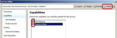
Feature Services
Making real-world objects (features) and
characteristics (attributes) accessible through Web Requests
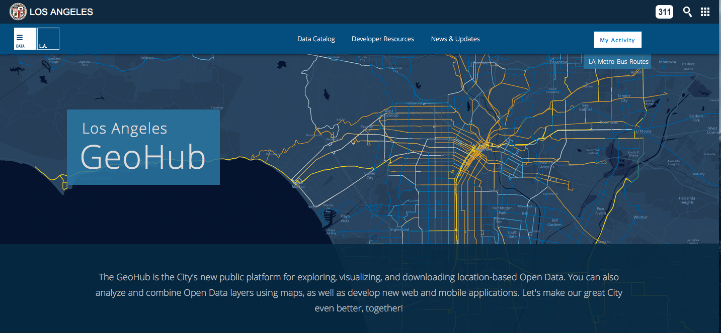
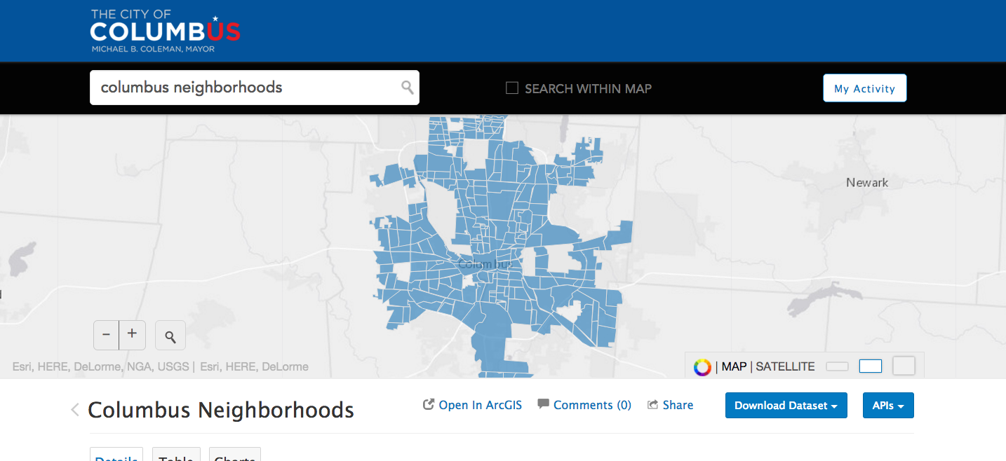
The LA GeoHub
http://geohub.lacity.org/
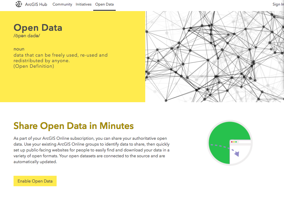
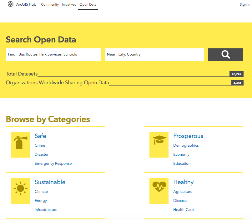
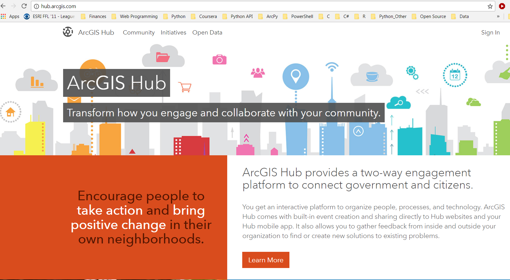
http://hub.arcgis.com
Across many industries
Services
- Routing
- Spatial Analysis
- Elevation
- Directions
- Geocoding
Editing and Calculation Functionality
exposed through a Web Service:
-
REST API can be queried by any language HTTP Requests

DESIGN
-
Create a Web Map
- Choose basemap
- Load useful layers on top
- Clear, useful cartography
- Design clear, useful popups
CHOOSE BASEMAP


SEARCH
arcgis.com
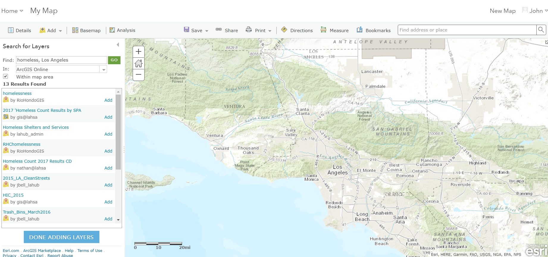
hub.arcgis.com
DEVELOP/CONFIGURE
- Create an app from a template
- Create an app from a builder
-
Create an app using APIs, SDKs
- search, find, "borrow" others' code!!
SDKs and APIs
https://developers.arcgis.com/documentation/
App Builders
web and native
ArcGIS Web AppBuilder
developers.arcgis.com/web-appbuilder
New - Developer Edition

AppStudio for ArcGIS
create native apps

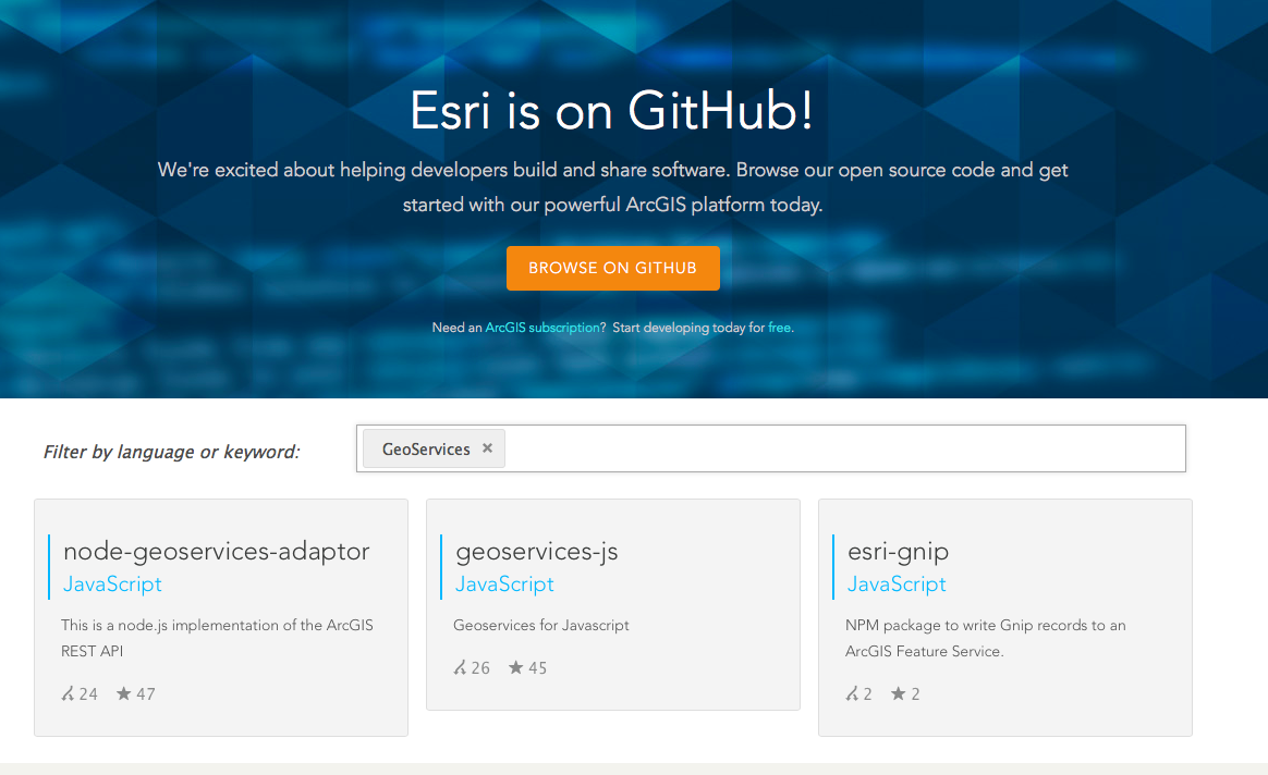
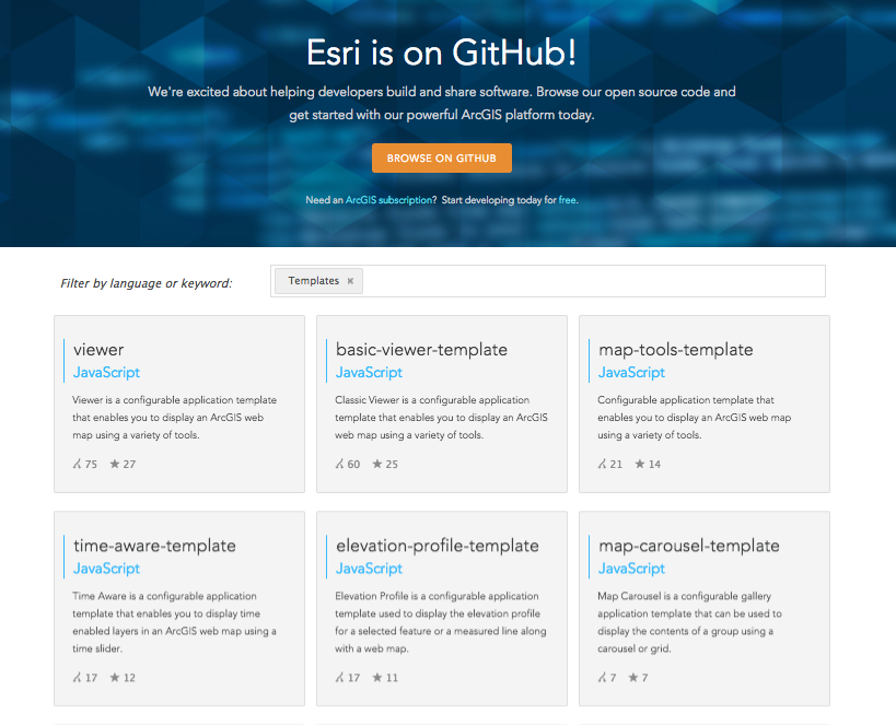
Esri on GitHub http://esri.github.io
HackerLabs on Github
http://github.com/Esri/geodev-hackerlabs


Data > Design > Develop
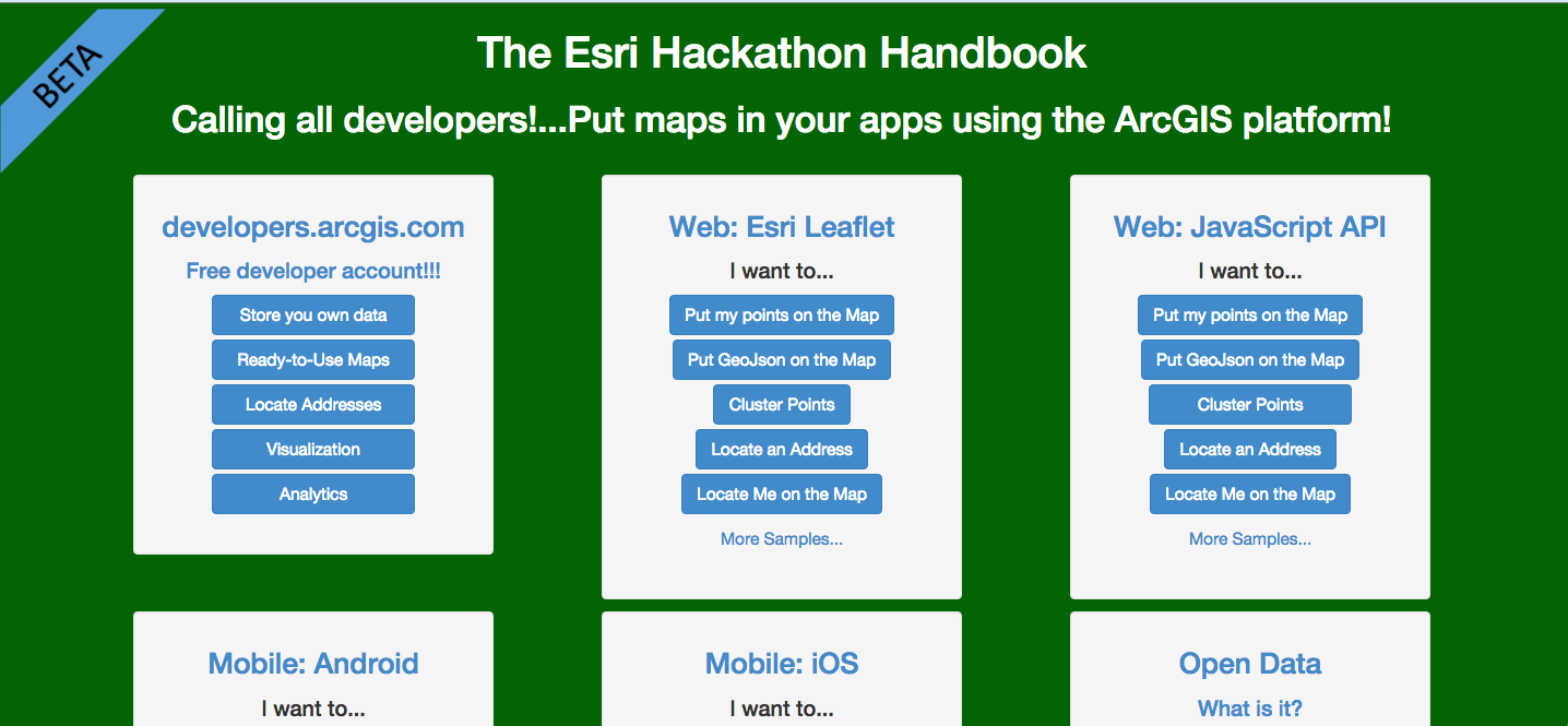
http://hackathon-handbook.com/
App Templates
http://esri.github.io/#Templates
Configurables
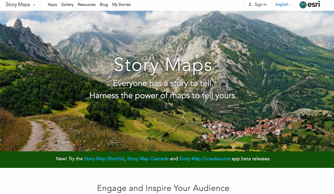
Story Maps https://storymaps.arcgis.com/en/
Intro to ArcGIS - The Civic Engagement Platform
By John Yaist
Intro to ArcGIS - The Civic Engagement Platform
Presentation about the fundamentals of Esri and GIS software.


