
Esri: The ArcGIS Platform

Data Innovation Hackathon
ArcGIS Platform Tech Briefing
Walt Disney Attractions Technology
GIS
Geographic Information Systems
Variety of mapping functions integrated into nearly all industries
Geographic Data
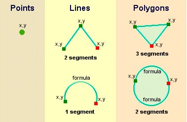
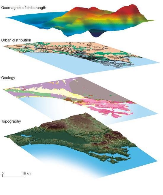
Information Layering
Storage and overlays -
Layering of data and interactions
exposing spatial correlations
Maps and GIS -
reveal relationships between
seemingly unrelated things or events
Links
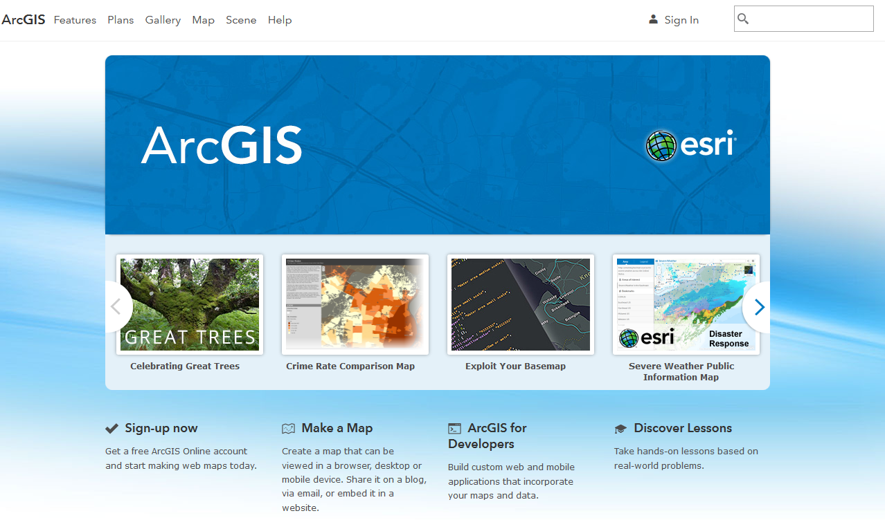
ArcGIS Online
https://arcgis.com
Disney Developer ArcGIS Organization
https://wdat.maps.arcgis.com
ArcGIS for Developers website
https://developers.arcgis.com
1. DATA
2. DESIGN
3. DEVELOP
1. DATA
2. DESIGN
3. DEVELOP
DATA
- Services: Search, Find, Use, Create
- Datasets: Import from CSV, XLSX, SHP
- Create new data with analysis tools
- Collect your own data: GPS, Collector
ArcGIS DevLabs
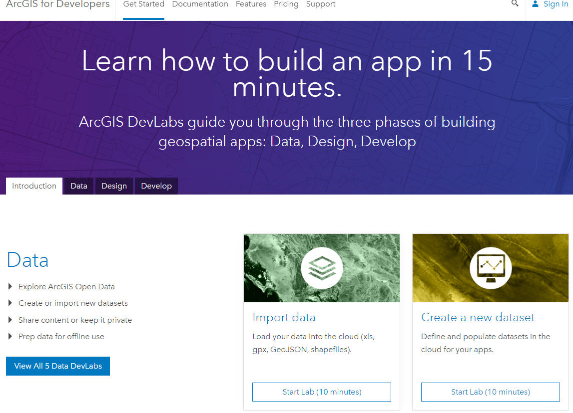
https://developers.arcgis.com/labs/
The ArcGIS Online Organization
http://doc.arcgis.com/en/arcgis-online/reference/join-org.htm
https://arcgis.com
Services
Accessed through REST endpoints so can be consumed by any language issuing requests
- Routing
- Spatial Analysis
- Elevation
- Directions
- Geocoding
Feature Services
Making real-world objects (features) and characteristics (attributes) accessible through Web Requests
Accessed through REST endpoints so can be consumed by any language issuing requests
The ArcGIS Development Platform
By John Yaist


