How Accesible is Public Transporation in the Largest Tech Cities in the U.S.?
Photographer: Casey Schneider
https://commons.wikimedia.org/wiki/File:Seattle_At_Night_(128658941).jpeg
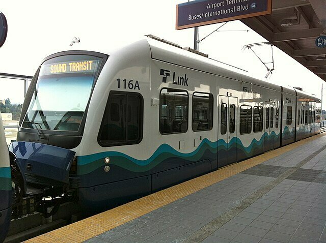
Seattle, WA
Starting in the Pacific Northwest, Seattle is amongst the top tech cities in the U.S., with companies like Microsoft and Amazon. The Link light rail system currently runs the majority of its stops from Lynnwood to the SeaTac area, while another line is expanding East toward Bellevue and Redmond. This map visualizes the number of light rail stations per Seattle zip code, with higher concentrations indicated by darker colored zip code areas.
Photographer: Andrew Nash
Photographer: Andrew Nash
San Francisco, CA
Heading down the coast, San Francisco is arguably one of the most well known major tech hubs in the United States, with companies like Apple, Facebook, Adobe, and Google all stationed in or around the Bay Area. The Muni Metro System is a major public transportation system running through San Francisco, with numerous stops on a series of several lines running through the city. This map is meant to show all the stops of the Muni, and it analyzes the number of stations per San Francisco zip code using a light to dark red color scale.
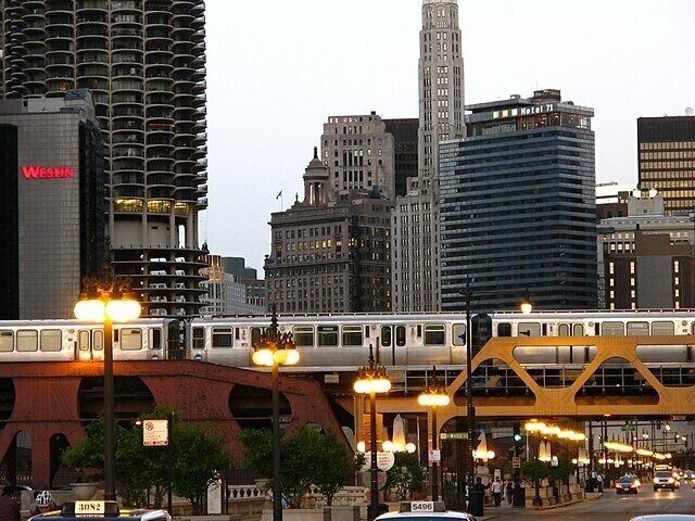
Chicago, IL
Heading east, Chicago is a major tech location in the midwest. This city includes giants like Google and Salesforce, plus notable campuses of LinkedIn and Meta. This map shows the dispersed stations of the Chicago Transit Authority's "L" Train, an efficient transit system that runs through Chicago. The map also highlights the number of stops per Chicago zip code using a light to dark blue-green color scale. Like Seattle, there is a notable concentration of stops in Chicago's downtown zip codes.
Photographer: Ryan
New York, NY
From one coast to the other, the next big tech city in the U.S. is New York City. While the bustling city is home to large Google, Microsoft, and Amazon campuses like many of the previous stops, it also includes companies like Greenhouse, Etsy, and Slack. The New York City Subway is a well known transit system that serves the boroughs of Manhattan, Queens, Brooklyn, and the Bronx (with a separate line on Staten Island). The map displays the subway stops dispersed throughout New York zip codes, while also analyzing which zip codes have more stops than others on a light to dark pink color scale.
Washington D.C.
Down the east coast, the final stop of this story map is Washington D.C. This map showcases the locations of the stations in D.C.'s Metrorail System, and demonstrates the concentration of stops per D.C. zip code on a light to dark purple color scale. The lines of the transit system create a star-like shape that reaches areas even outside D.C. regions and into surrounding cities. As a notable tech location in the U.S, Washington D.C. is home to large offices of companies like Boeing, IBM, and ServiceNow.

Photographer: Kelvin Kay
Public Transportation in U.S. Tech Cities
By J Sim
Public Transportation in U.S. Tech Cities
Large tech companies make for busy, highly concentrated cities. So, how accessible is public transportation in these regions? Use this storymap to explore the distribution of public train stations in some of the biggest tech cities in the U.S.