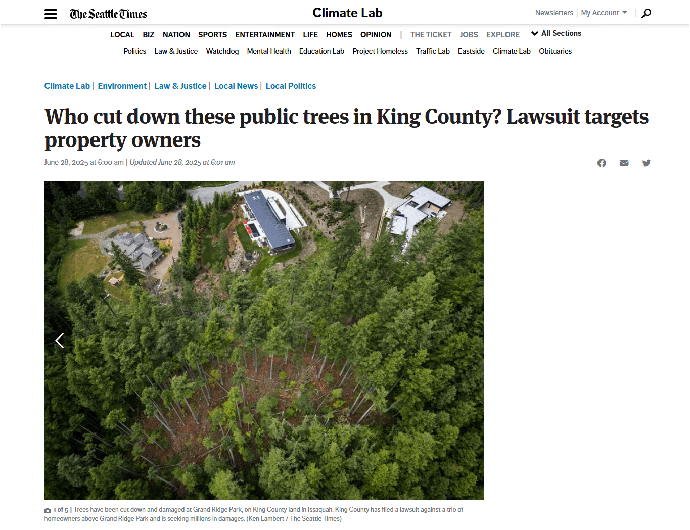
WTD Drone Program
We Came, We Flew, We Mapped..
Peter Keum, GISP
Drone Program Lead/GIS Analyst
October 16, 2025
WTD Drone Program
We Came, We Flew, We Mapped..
Peter Keum, GISP
Drone Program Lead/GIS Analyst
October 16, 2025

From Buzz to Business
- Quick History
-
Where are We Now:
- Hardware/Software/Pilots
-
Things We've Done and Doing:
- Integration of Drone with GIS
So Let's Dive in!
WTD GIS Team
- 10 GIS Specialists
Supervisor
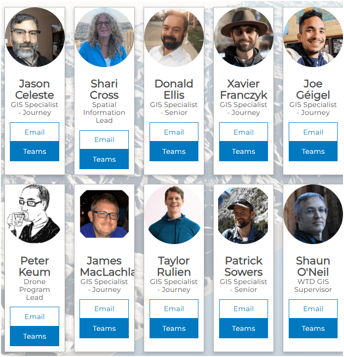
KC Wastewater Treatment Drone Program

People
+
Technology
+
Organization
=
Drone Program
WTD GIS Drone Program
October 2025
- Four FAA Part 107 Drone Certified Pilots - WTD GIS Specialists (Jim, Patrick, Joe, and Peter)
- Assisting other departments to stand up their own drone programs (WLRD/ SWD/ Local Service/ KCIA/ FMD)


Joe
DJI Mavic 2 Pro (1)

Mavic 2 Ent. Adv. (1)

Mavic 3 Ent (2x)

2021
2022
2023
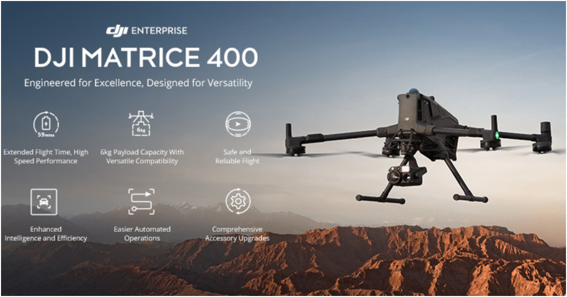
Matrice 4 Ent. (1)
2025
Total: ~ $27,000
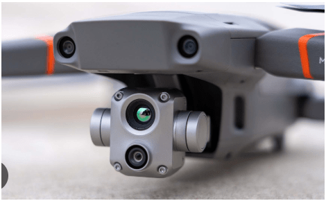
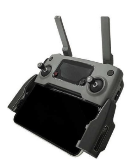
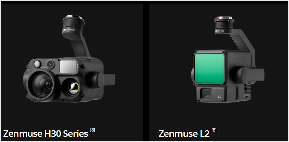
Current Hardware
DJI Mavic 2 Pro < $1,800 (Retired)

DJI Mavic 2 Pro Ent. Adv $6,500
DJI Avata $1,300
Mavic 3 Ent (2x)
$3,800
20 MP/ 56x zoom
20 MP
12 MP/ 32x zoom
+ Thermal

Matrice 4 Ent
~ $5,300/ $8,500
Wish List Hardware :-)
$11,000
All WEather
RGB Camera
~ $3,500
Lidar Sensor
~ $ 12,500
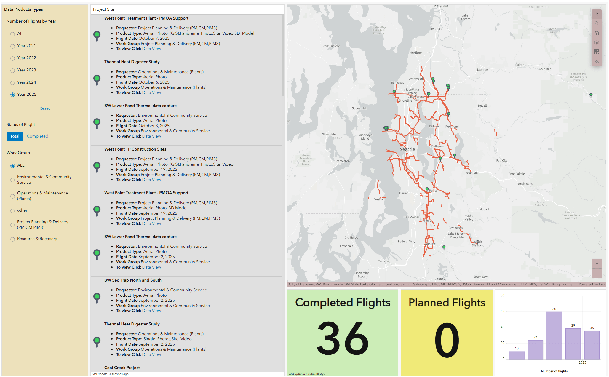
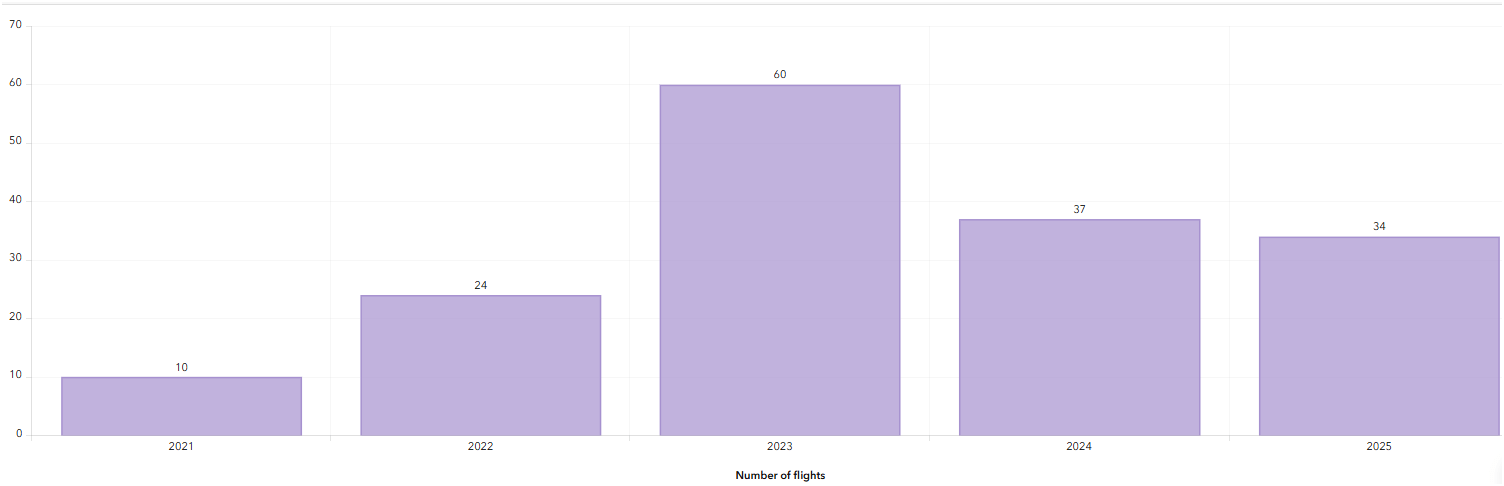
WTD Drone Dashboard


2021
June - Dec.
2023
Number of Flights
2022

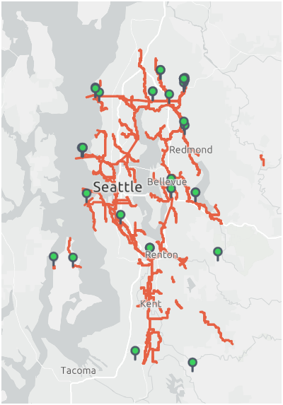

2024
2025
Jan. - Oct.
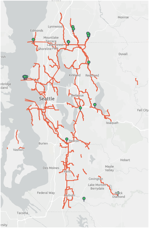

Helping KC Parks
From Buzz to Business
Quick History-
Where are We Now:Hardware/Software/Pilots
-
Things We've Done and Doing:
- Integration of Drone with GIS
Why Use Drones?
3 E's
-
Easy
-
Efficient
-
Effective
1. Easy - Simple with little effort
Automatic Repeatable
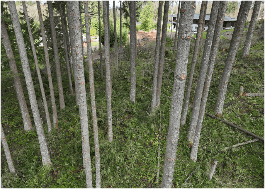
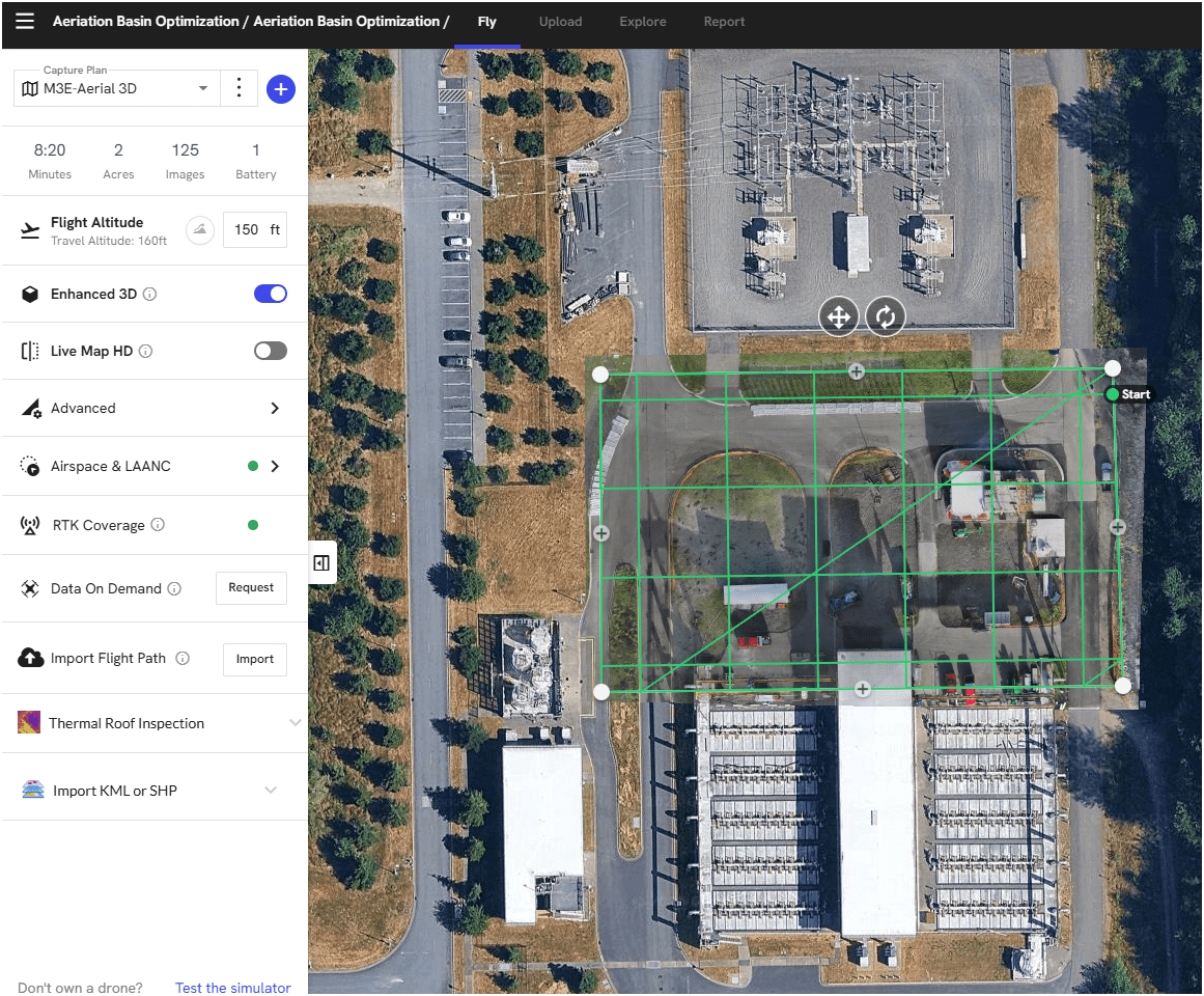
Brightwater TP - Aeriation Basin Opt. Construction
Flight Control App
- Automate Flight Planning - Fly Consistently for overlapping images
- Can fly manually but it's like mowing with scissors


Why Use Drones?
1. Easy - Simple with little effort

Automatic
Repeatable
1. Easy - Simple with little effort
Automatic Repeatable
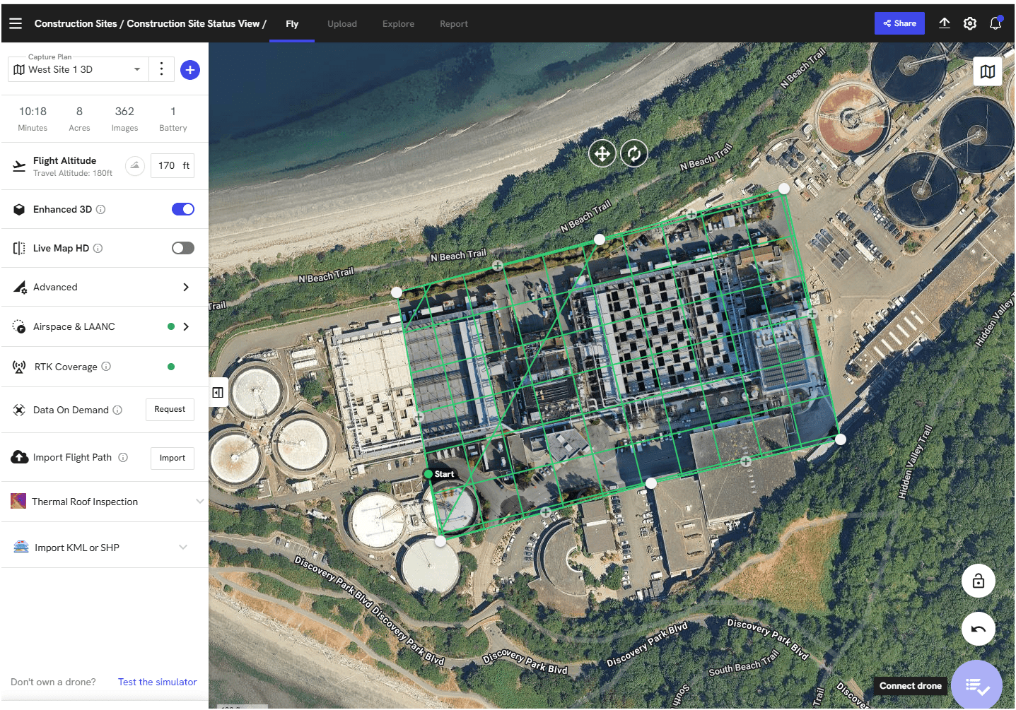
West Point TP - RSP Building Construction
Why Use Drones?
2. Efficient - Results without waste
Safety of staffs & Save Time & $$

Inspecting Inside Digester (2024)
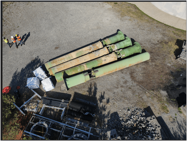
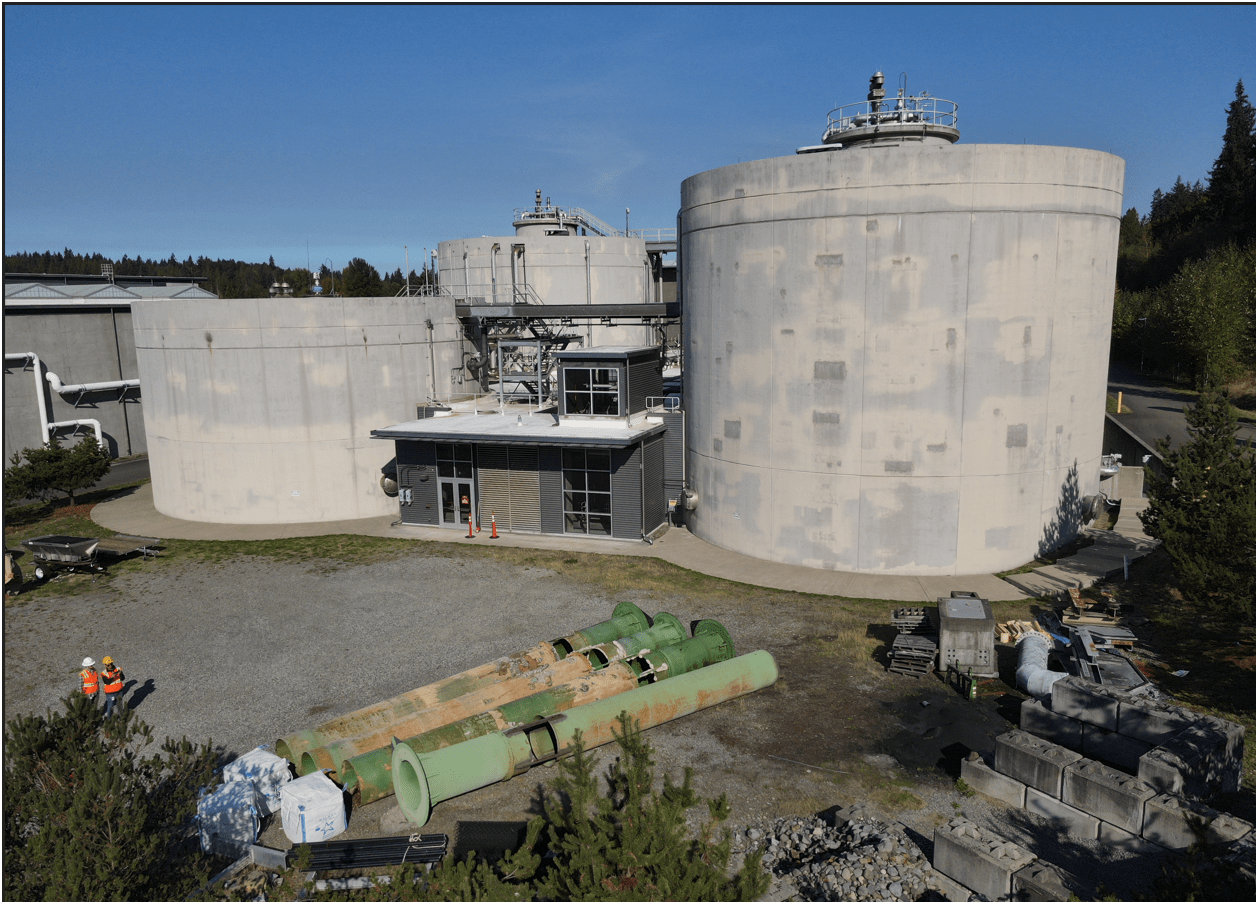
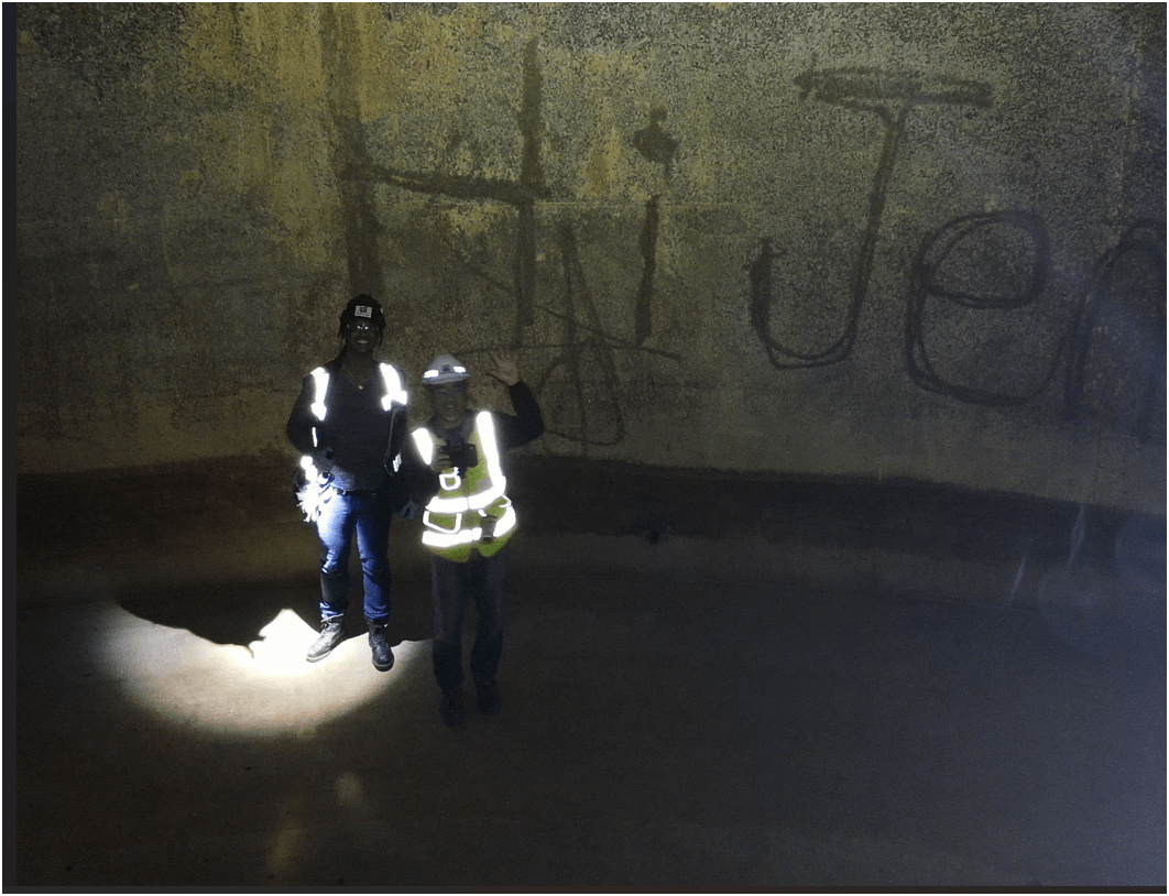
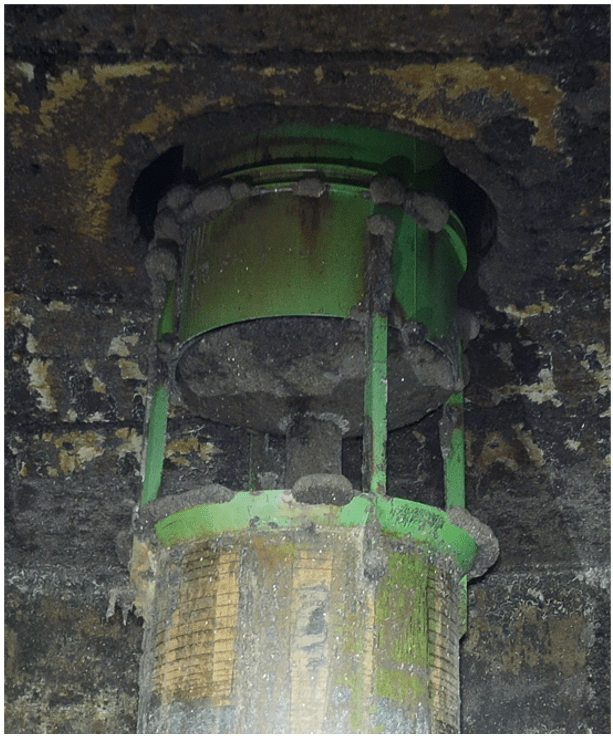
Inspecting Inside Digester
2. Efficient - Results without waste
Safety of staffs & Save Time & $$
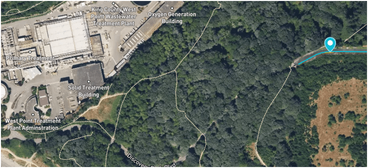
West Point
Treatment
Plant
Discovery Park
Blvd
Dec 2024
Why Use Drones?
3. Effective - Producing Results


- Update 2D aerial map

0.57 in/px
Sept 2023
3.0 in/px
2023 KC Aerial
3. Effective - Producing Results
0.50 in/px
June 2025
6x time the resolution
(from KC Aerial Imagery - June 2025)
3. Effective - Producing Results
Sep 2023
Oct 2024
June 2025
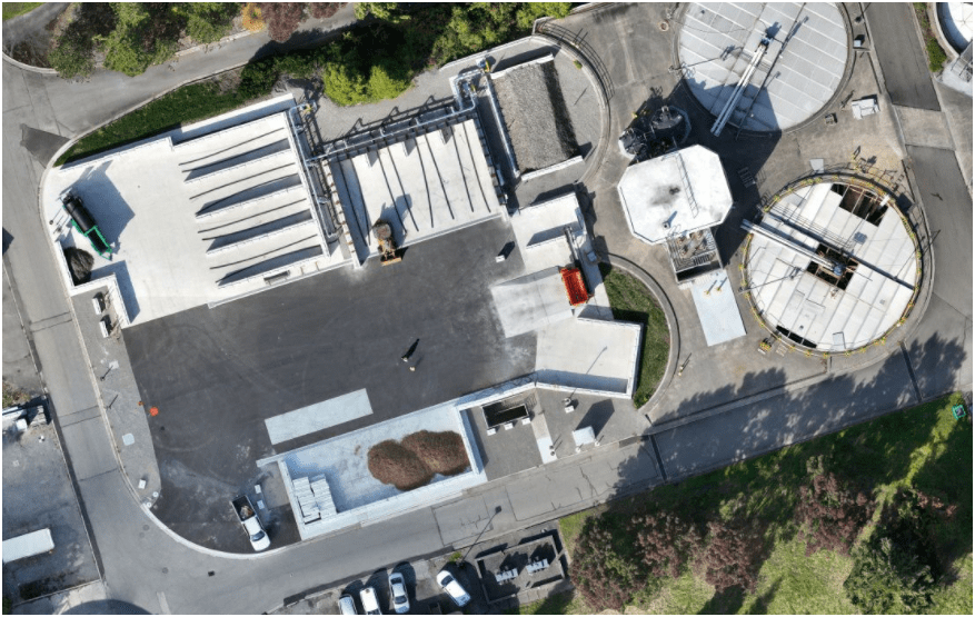
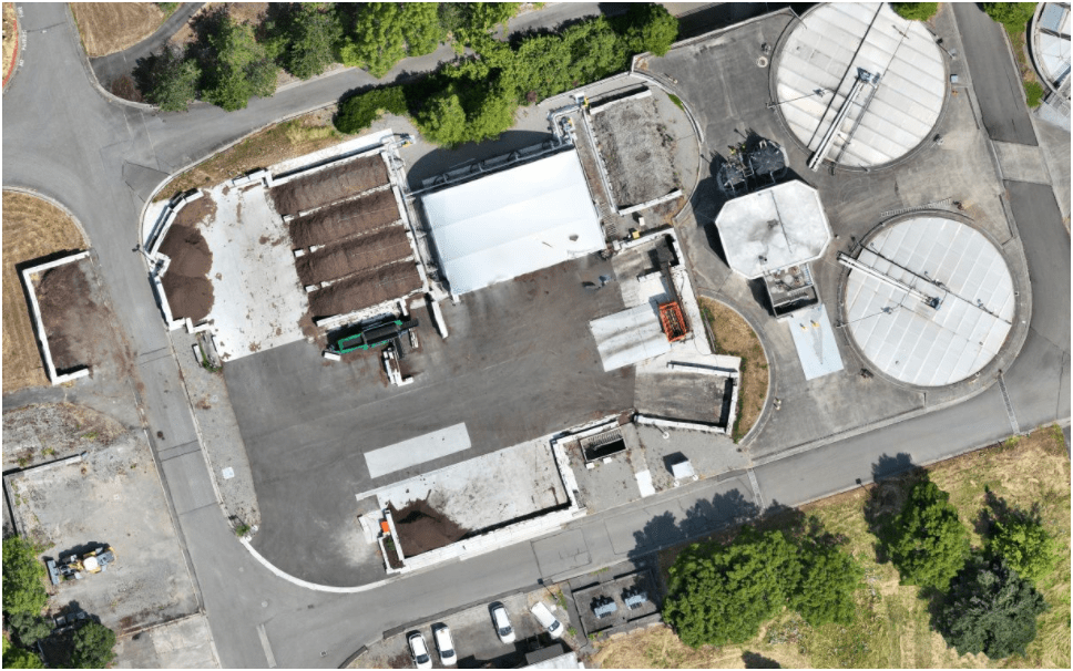
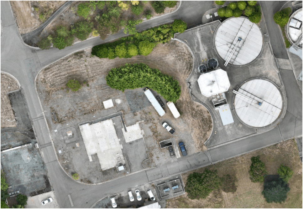
Compost LOOP
pilot-project
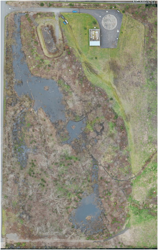
- Monitoring & Mitigation (ECSS)
March 2022
April 2024
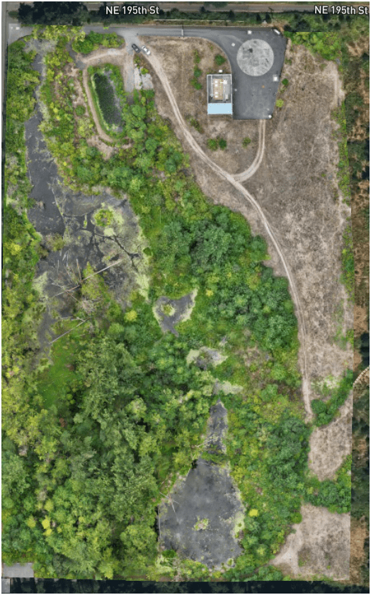
August 2025
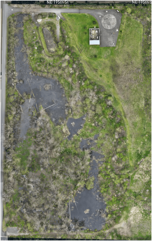
3. Effective - Producing Results
- Construction Site Monitoring
3. Effective - Producing Results
- Construction Site Monitoring
3. Effective - Producing Results
West Point Treatment Plant ISP Replacement (2023)
3. Effective - Producing Results
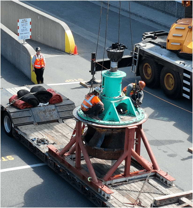
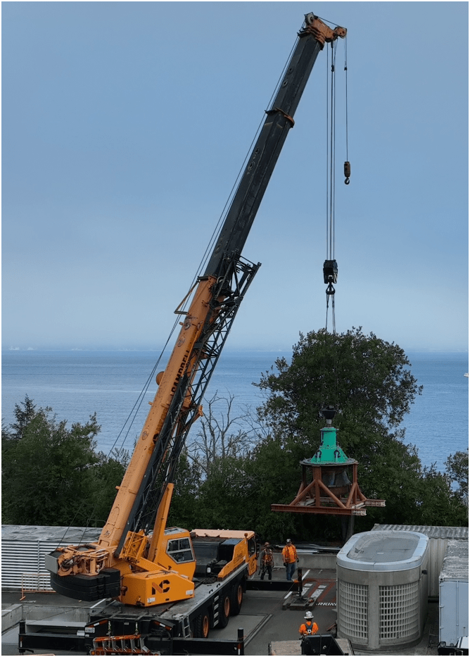
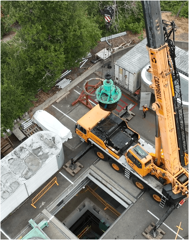
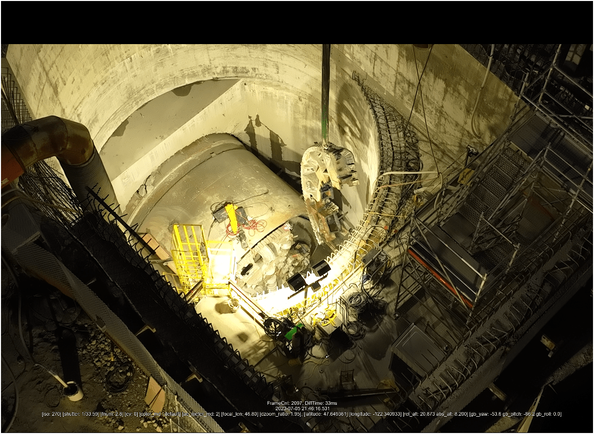
Ship Canal Water Quality - TBM (2023)
3. Effective - Producing Results
Ship Canal Water Quality - TBM
3. Effective - Producing Results
Heat Resource Recover - Energy District (Dexter Ave)
3. Effective - Producing Results
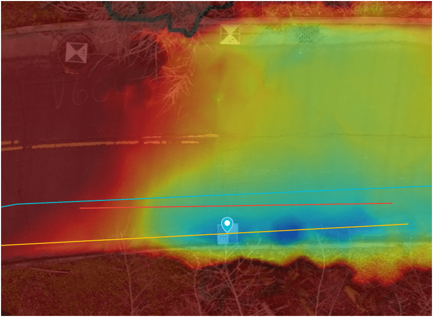
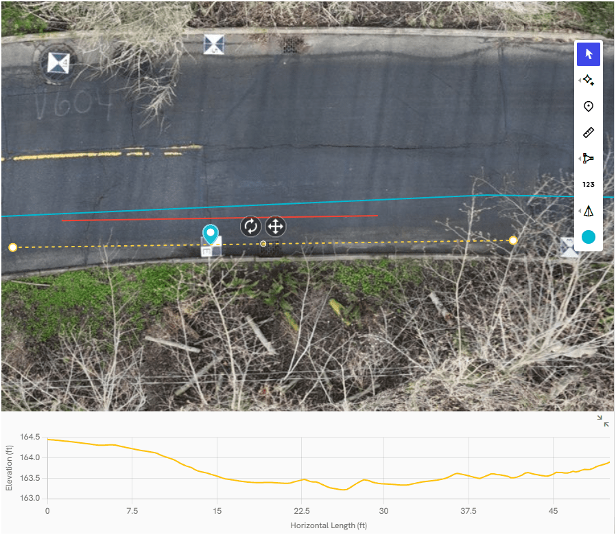
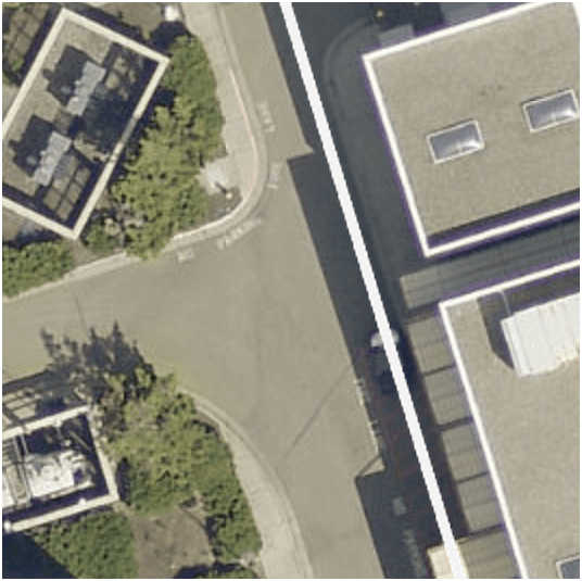
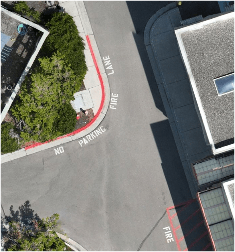
Examples - Integrating with GIS
Examples - Integrating with GIS
Examples - Integrating with GIS
Proof Of Concept
Lidar SLAM Handheld Unit
Proof Of Concept
Lidar SLAM Handheld Unit

WHOA!
Just another tool in the toolbox

Not Easy!
but....
1.1
A
B
L

C
Tobin Bradley, Mecklenburg County, NC
Let's do A. B. L. !

peter.keum@kingcounty.gov

peter.keum@kingcounty.gov
WTD PPD Supervisor Presentation Oct 2025
By Peter Keum
WTD PPD Supervisor Presentation Oct 2025
Presentation on WTD Drone program status for PPD Supervisor meeting


