Cataloguing open geodata with
philippe duchesne
phd@highlatitud.es
@pduchesne
FOSS4G Belgium
29/10/2015
new features, Belgian perspective
History
okfn & ckan

- worldwide non-profit foundation
- using advocacy, technology and training to promote open knowledge
- open data management platform
- open source
- large community
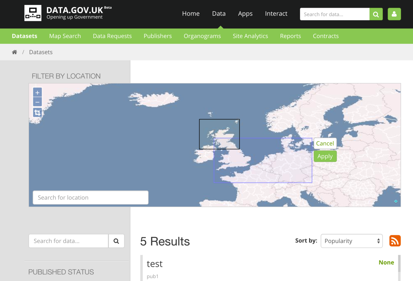
data.gov
ckan worldwide
data.gov.uk
data.gouv.fr
opendata.vlaanderen.be
publicdata.eu
dados.gov.br
data.overheid.nl
check ckan.org/instances

Quick tour
- Search and discoverability for
users
- Central full-text search
- Faceted search on main metadata fields
- Previews and data exploration
- Data management for
publishers
- Metadata edition
- Workflow and approval
- Fine grained authorization controls
- Download and view statistics
- Extensible architecture and APIs for
developers
- Extensible schema
- Extension API
- REST API
- Specialized extensions: data API, analytics, harvesting, spatial...
core features
architecture
CKAN core
Web portal
HTTP API
REST/JSON/RDF
CSW Interface
Harvesters
remote CKAN
DCAT
CSW / ISO
data storage
metadata storage
Web portal
CSW Interface
data storage
CSW / ISO
Geospatial Features
extensions
official CKAN extensions
- ckanext-spatial
- model & indexing
- search
- harvesters
- basic preview
- ckanext-geoview
- OpenLayers based
- extended support for various formats
- geoJSON, KML, GML, WMS, WFS, Arcgis, Google Fusion Tables
- geoJSON, KML, GML, WMS, WFS, Arcgis, Google Fusion Tables
- many other community-driven projects
storage & indexing
- model based on geoJSON
- indexing in Solr or PostGIS

CKAN core
Web portal
HTTP API
REST/JSON/RDF
CSW Interface
Harvesters
remote CKAN
DCAT
CSW / ISO
data storage
metadata storage
search & visualization
- search by bounding box
- display of result extents
search & visualization
WMS
,WFS
, geoJSON, KML, GML, arcREST, Google Fusion Tables
OpenLayers based
harvesting
- ISO19139 metadata
- customizable schema mapping
- remote CSW
- based on OWSlib (python client for OGC services)
- allows for CSW federation
(together with CSW interface) - auto generation of generic preview on harvest
CKAN core
Web portal
HTTP API
REST/JSON/RDF
CSW Interface
Harvesters
remote CKAN
DCAT
CSW / ISO
data storage
metadata storage
CSW interface
- relies on a separate pyCSW instance
(python CSW server)
- integration with pyCSW through the CKAN API
- allows re-publishing of datasets that were harvested from remote CSW or ISO19139
CKAN core
Web portal
HTTP API
REST/JSON/RDF
CSW Interface
Harvesters
remote CKAN
DCAT
CSW / ISO
data storage
metadata storage
Inspire compliance
- support for Inspire standards
- harvesting (CSW)
- viewing (WMS,WFS)
- re-publishing (CSW)
- allows federation of CSW catalogs
- allows bridging of Inspire data and services with non-geo world (in particular with DCAT AP)
Belgian instances
wallonia : opendata.digitalwallonia.be
flanders : opendata.vlaanderen.be
flanders : opendata.vlaanderen.be
federating various admin entities through harvesting
Wrapping up
- geoDCAT support
- formalizes ISO19115/119 to DCAT mapping
- formalizes ISO19115/119 to DCAT mapping
- advanced geoview configuration
- stored styles
- feature interactions
- OWS Context support
what's next?
- goal is not so much to have advanced geoviz, but rather allow a quick understanding and exploration of the content to favor re-use
-
'Spatial is not special'
- geo data is just another data type in the open data range
- real added value and emerging semantics come from mixing heterogeneous types
conclusion
check out and contribute
- https://github.com/ckan/ckan
- https://github.com/ckan/ckanext-spatial
- https://github.com/ckan/ckanext-geoview
philippe duchesne
phd @ highlatitud.es
@ pduchesne
thank you
questions?
FOSS4Gbe - CKAN
By Philippe Duchesne