ATLAS
A new tool for exploring GIS data and imagery
at the City of Philadelphia

GIS Services Group
IN THE BEGINNING THERE WERE APPS...
A LOT OF APPS...
address explorer
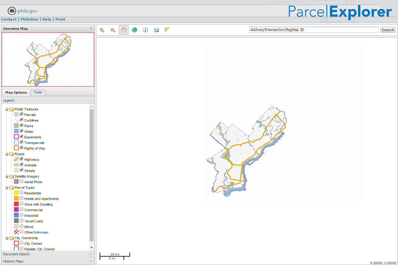
parcel explorer
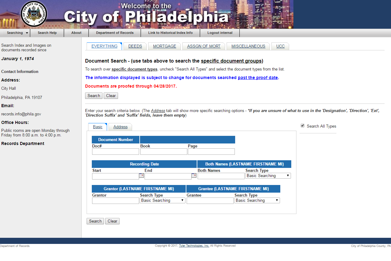
philadox
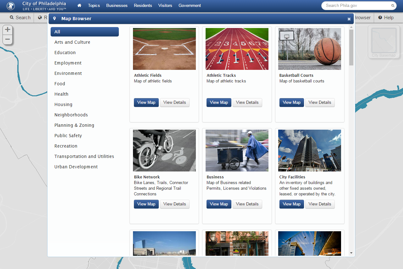
phila.gov/map (aka slash-map)

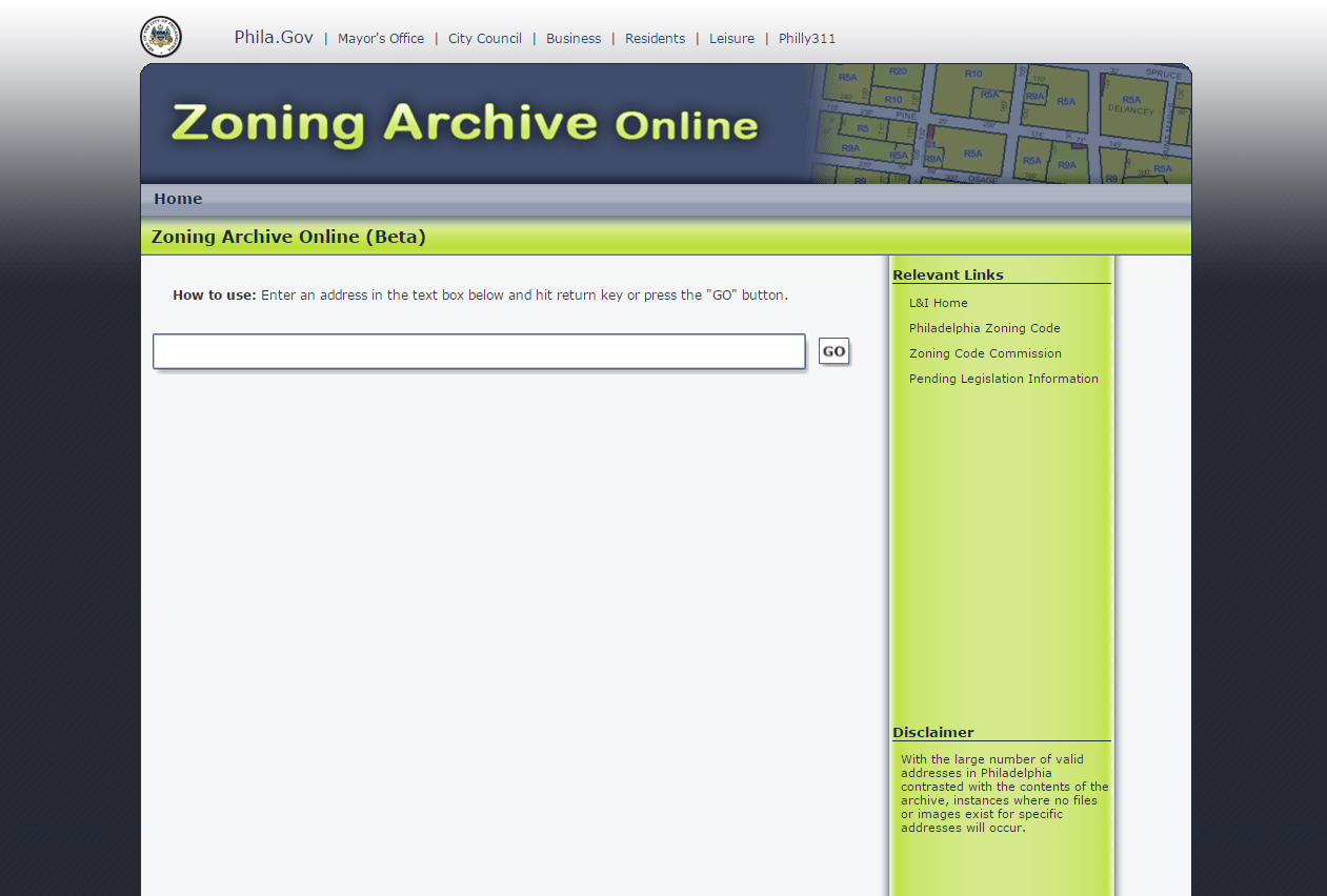
zoning archive
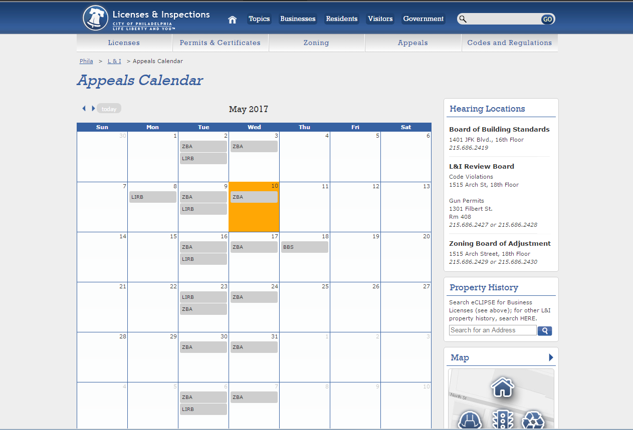
zoning appeals calendar
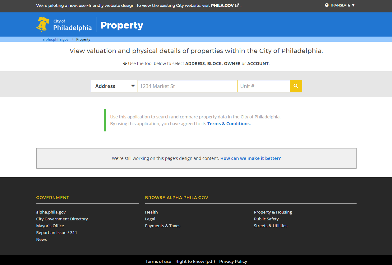
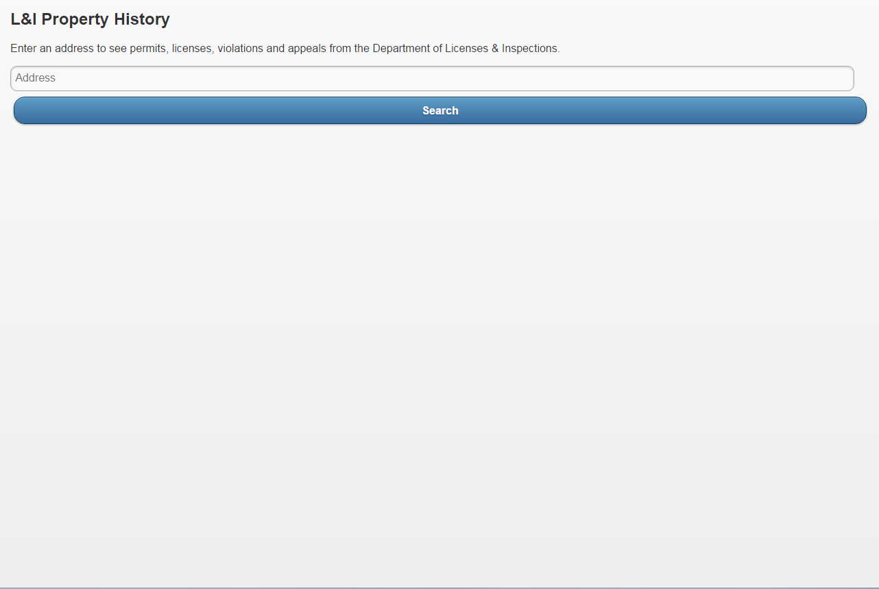
property search
phila.gov/li
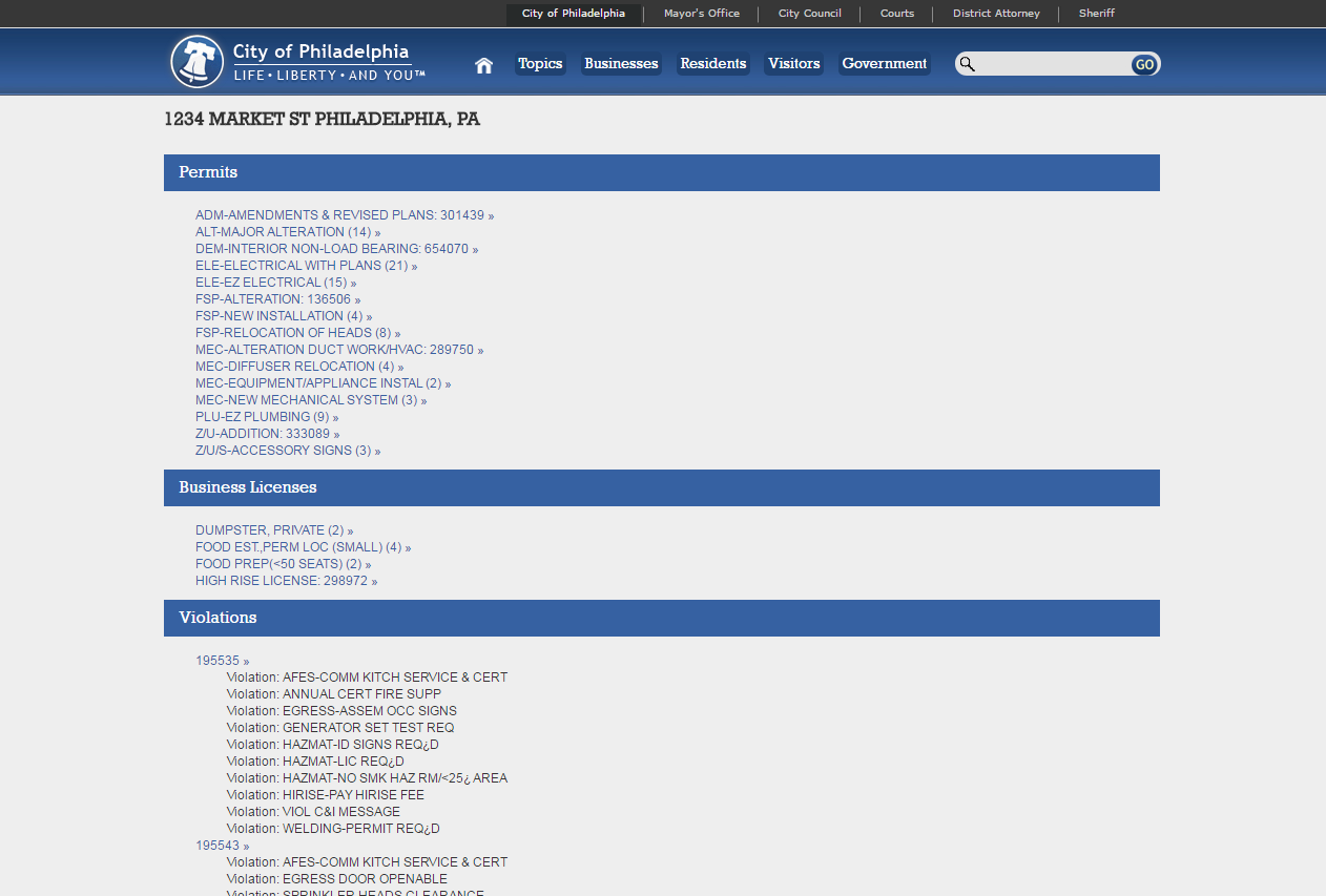
li.phila.gov
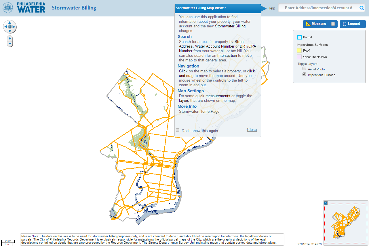
stormwater billing
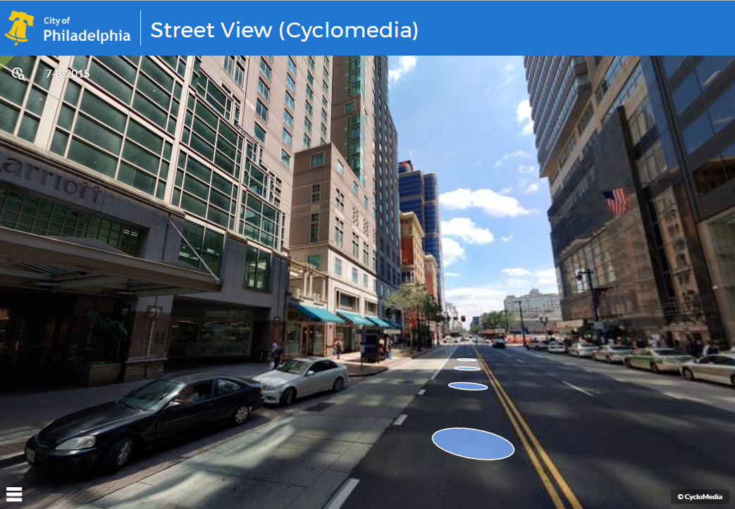
cyclomedia
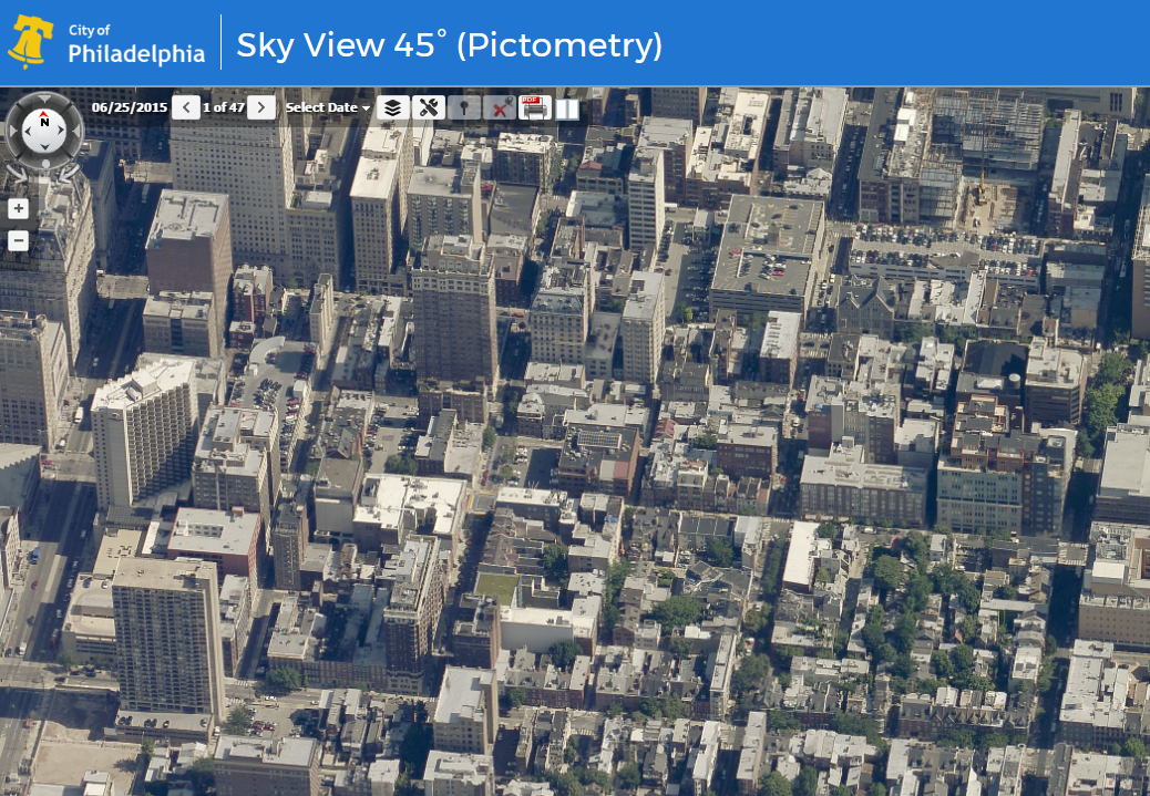
pictometry
that's a lot of apps.
what happens when you use them all at once?
enter atlas.
dun
dun
dun...
demo time.
what's under
the hood?
- leaflet
- esri-leaflet
- Cyclomedia StreetSmart API
- Pictometry API
- 4,564 lines of vanilla javascript
- some Vue.js
- styled with the City of Philadelphia Patterns Portfolio
- deployed with Travis
- hosted on Amazon S3
what's next?
- rewrite with vue.js
- provide code as a configurable mapping framework
- tests. lots of tests.
- public release: Q3 2017?
that's all!
any questions?
connect with us :)
Atlas Repo
https://github.com/CityOfPhiladelphia/atlas/
Robert Martin
Twitter: @rbrt_mrtn
GitHub: @rbrtmrtn
Andy Rothwell
Twitter: @andyjrothwell
GitHub: @ajrothwell
Atlas Lightning Talk
By rbrtmrtn