Tècniques i mètodes professionals en Geografia
«Sortides professionals en Geografia»
Girona, 11 de Maig 2022
“Geography, sir, is ruinous in its effects on the lower classes. Reading, writing, and arithmetic are comparatively safe, but geography invariably leads to revolution.”
(Cambra dels Comuns , Londres, 1879)
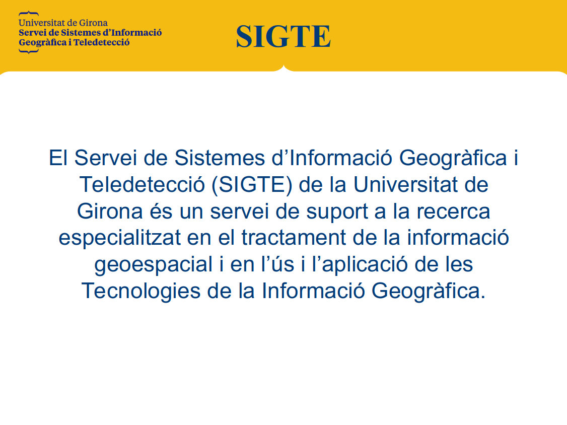
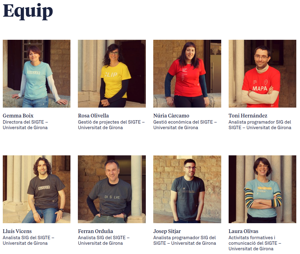
Qui som?
Què fem?
Formació externa:
Divulgació:


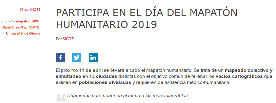


+ divulgació:

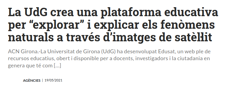
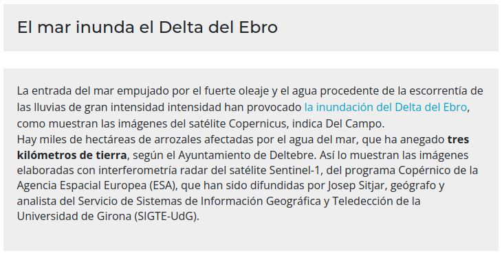
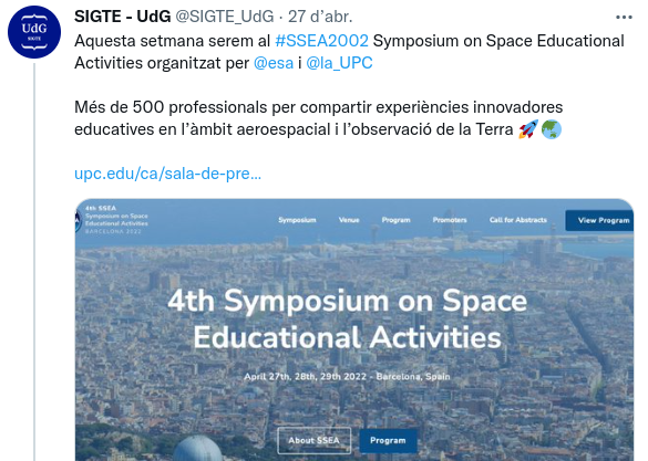
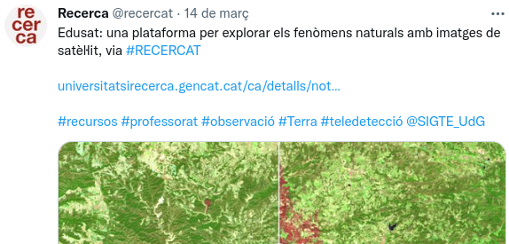

I què més fem?
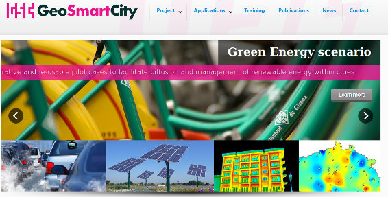


I, qui sóc jo i com he vingut a parar fins aquí?

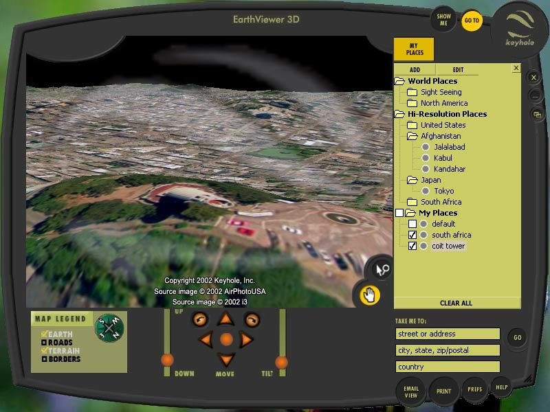
2004

2005
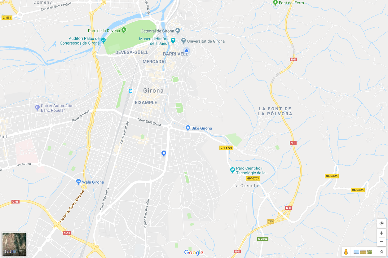
FEBRER 2005


Respon això a la pregunta del milió, sobre «on» podem treballar com a Geògrafs i Geògrafes "SIG"?

Tractament de dades geogràfiques
Anàlisis de dades geogràfiques
Visualització i publicació de dades geogràfiques
Què fem al SIGTE?
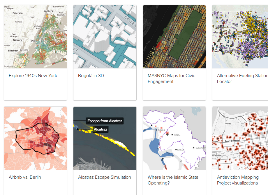
Alguns projectes geoespacials
# Series cartogràfiques
# Anàlisis de dades
# SIG municipal
# Divulgació
# ......
# ...

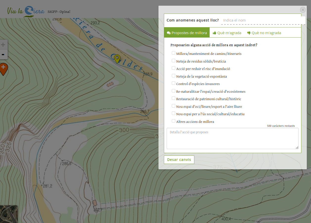
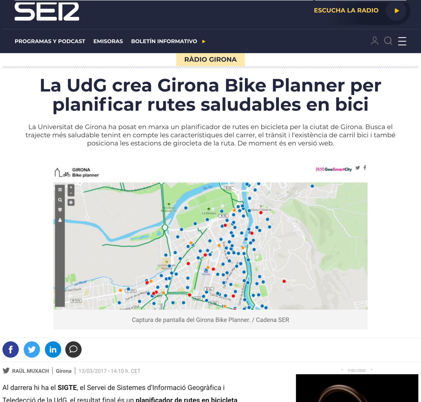
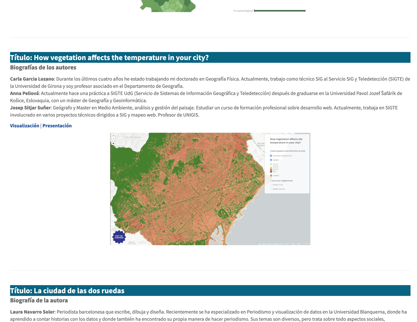
El SIG com a professió...
> Quins perfils demana el mercat de les GEO/TIG?
#1 - Analista SIG (Data Scientist*)
#2 - Gestor/a de Projectes (SIG)
#3 - Programador/a SIG
#4 - Nou cartògraf o cartògrafa
#1 Analista SIG







What is the meaning of Spatial Data Science?
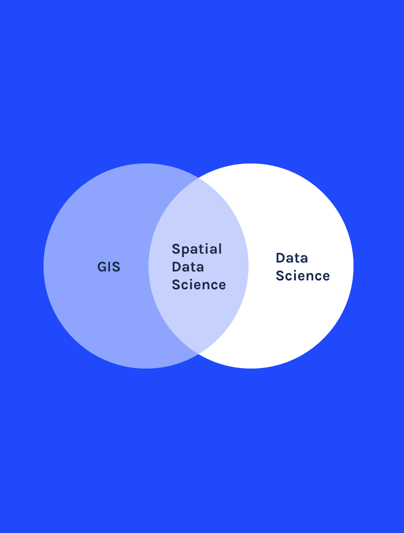
Spatial data science (SDS) is a subset of Data Science that focuses on the unique characteristics of spatial data, moving beyond simply looking at where things happen to understand why they happen there.
Carto, 2021
Top 5 must-have skills
- R & Python
- SQL
- GIT > github, gitlab, bitbucket
- Cloud computing
- AI & Machine Learning
«GEO»
#2 Gestor de Projectes


#3 Programador SIG




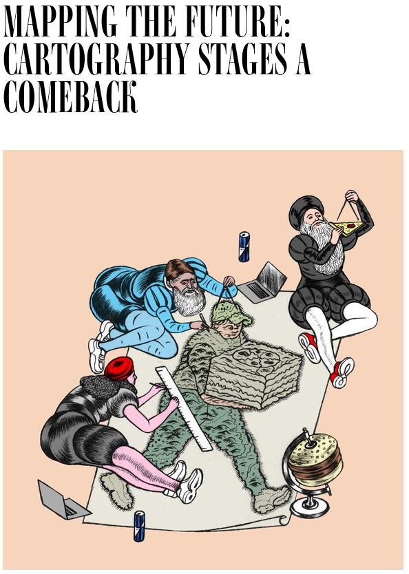
#4 Mapes i comunicació
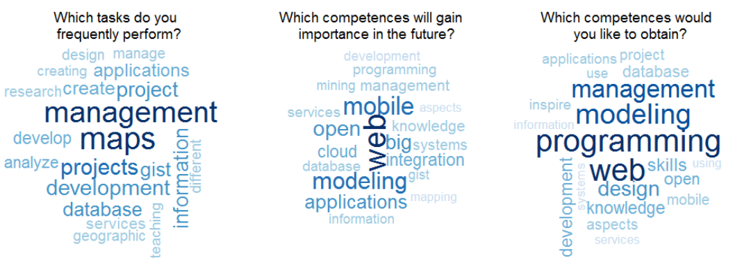
"Integrated analysis of the demand for and
supply of geospatial education and training"
Results of the GI-N2K Surveys
Subtitle
Què en diuen els estudis?
Algunes dades de l'oferta
Supply side:
With regard to teaching content, the Knowledge Areas most referred to for specifying existing GI-teaching are:
Analysis Methods, Geospatial Data and Cartography and Visualization.
With regard to the content of intended teaching in the next two years, the most popular Knowledge Areas are Data
Modeling, Analysis Methods and GIS&T and Society. This might indicate a shift in teaching content emphasis.
Algunes dades de la demanda
Demand side:
ECOSISTEMA SIGTE: HI SOM TOTS REPRESENTATS
ECOSISTEMA SIGTE: HI SOM TOTS REPRESENTATS


Dades Obertes Transparència
Big Data
Smart Cities & Sensors
VGI
BIM
INDOOR LOCATION
MACHINE LEARNING
...


Tecnologia
Solucions lliures
Competència
"Professionals Tot Terreny"
"Coneixement Geogràfic"
"Capacitat d'entendre i interpretar el territori"
"Sabem (hauríem de saber) fer mapes, sabem comunicar"
Alguns «consells»...


Moltes gràcies
lluis.vicens@udg.edu
@lluisvicens


Sessió Geografia
By sigte2014
Sessió Geografia
- 506
