A Commonwealth of Openness
Ryan Cooper
maptimeLEX
Georgetown-Scott County Planning Commission
@maptastik | ryancooper729@gmail.com | ryan-m-cooper.com
Slides: http://bit.ly/kampcoa
- Complete
- Primary
- Timely
- Accessible
- Machine processable
- Non-discriminatory
- Non-proprietary
- License-free
- Permenance
- Usage Costs
Source: Sunlight Foundation
Open Source Software
- Free to examine, change, and redistribute source code
- Often times this is free software (but not always)
"Open Knowledge"
- Sharing experiences such that others can examine, enhance, and redistribute those experiences
- Government should be transparent
- Government should be participatory
- Government should be collaborative


?
What about
Open Door*
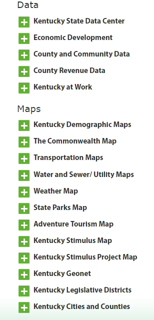
Kentucky's Transparency Portal

*Launched 1/1/09, prior to Obama Memorandum
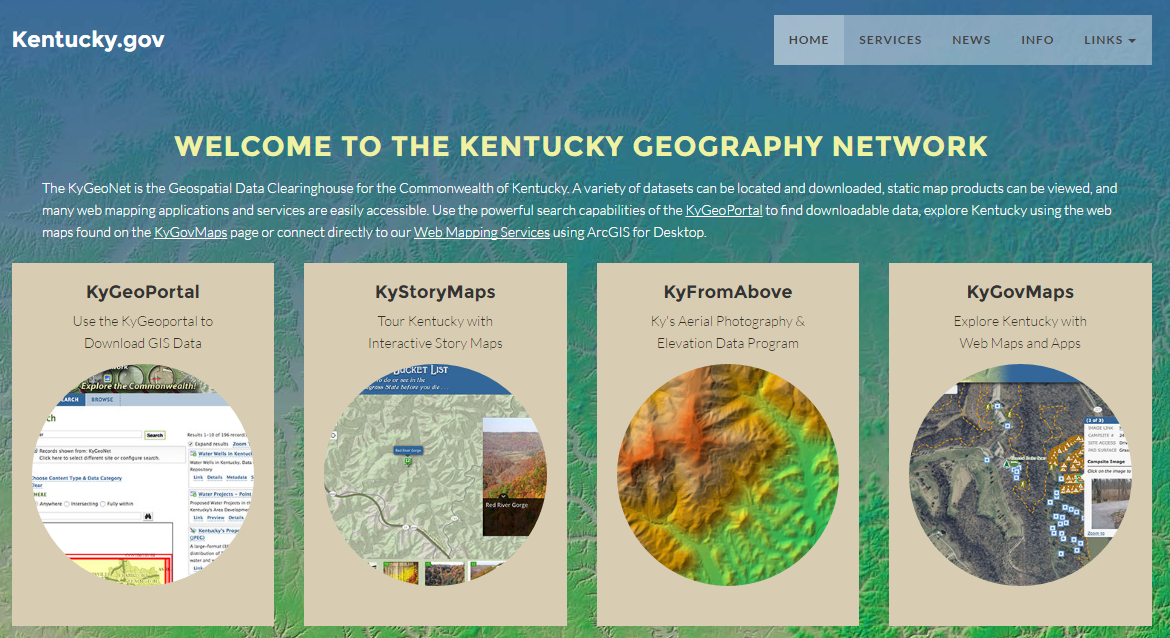
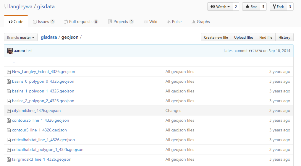
Some Other KY Agencies w/ public* GIS data

Based on my survey of all counties carried out in 2014. Happy to be corrected on this.
Why is Kentucky Open Data poor at the County level?
- No directive (that I'm aware of) from the state
- Diffuse data collection, management
- Data as a political bargaining chip
- Not an internal priority at public agencies managing data
- No explicit civic demand
Why is Kentucky Open Data poor at the County level?
- No directive (that I'm aware of) from the state
- Diffuse data collection, management
- Data as a political bargaining chip
- Not an internal priority at public agencies managing data
- No explicit civic demand

Grassroots push for open data
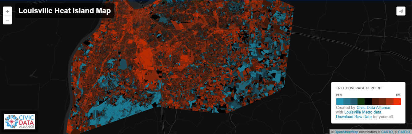
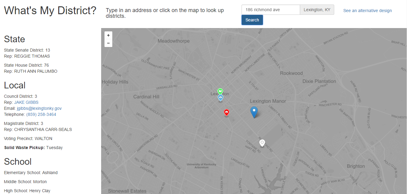
Louisville
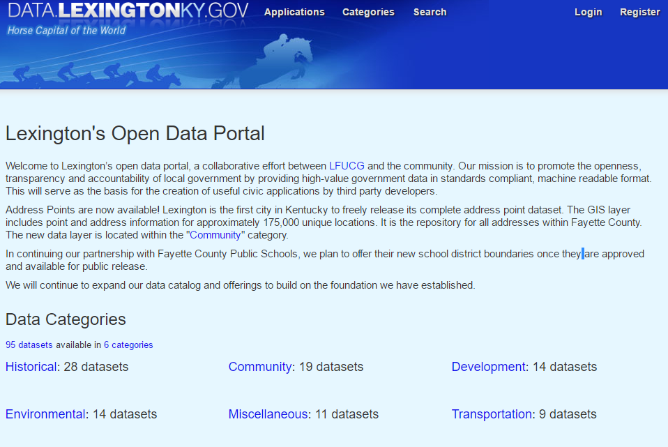
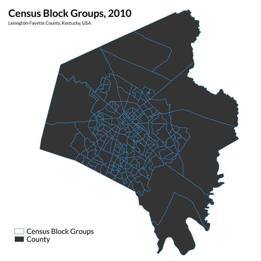
Lexington

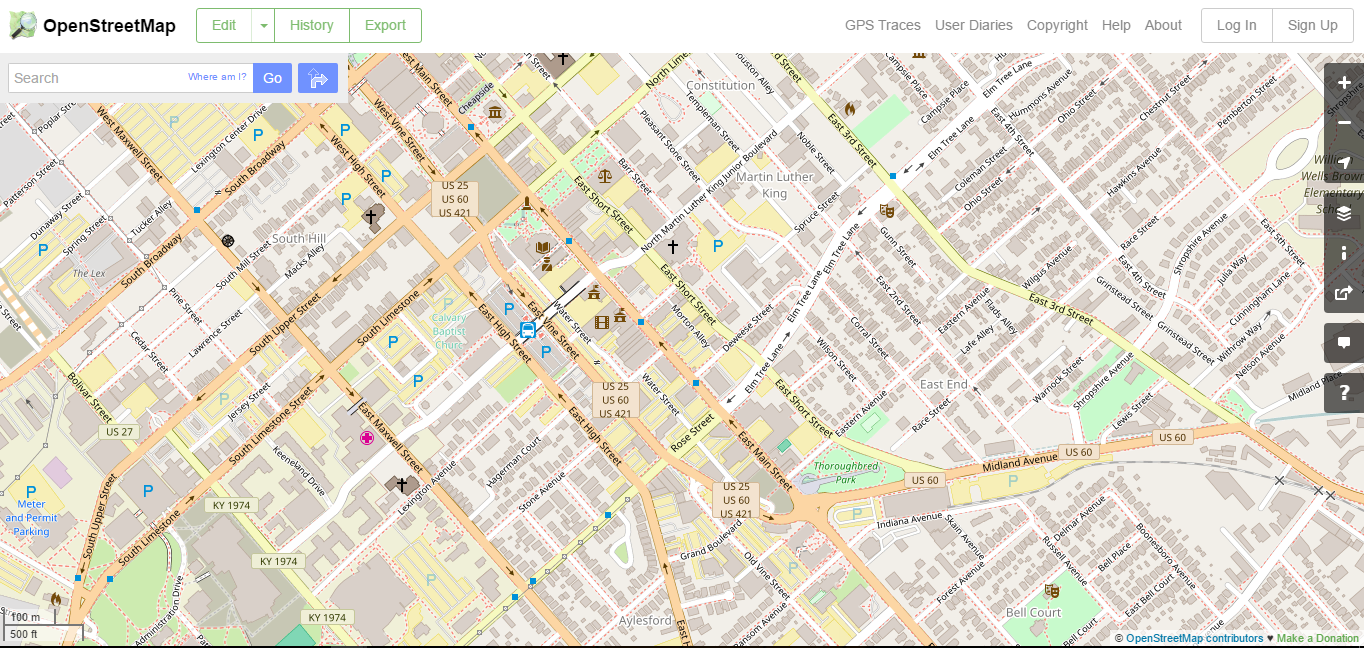
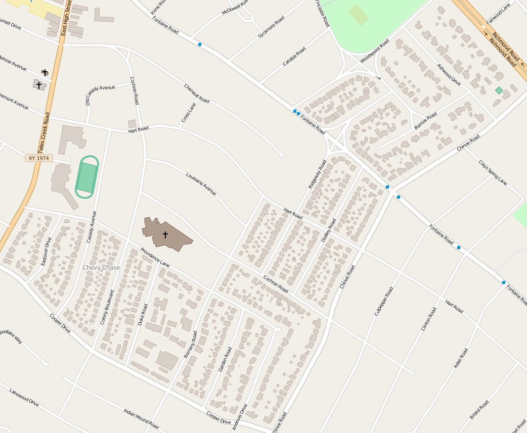
OpenStreetMap Building Imports
OSM: The Wikipedia of maps
- Can be edited by anyone
- Wide variety of data can be extracted from it
- Variety of ways to contribute data
- GPS traces
- Armchair mapping
- Import of open data
The things that get mapped are the things contributors care about
and this both a drawback and an opportunity
CodeAcross 2015

Nearby Explorer App
Added building footprints & addresses to OSM
CodeAcross2016
Let's do what they did in Louisville!
TODO:
- Find building dataset
- Find address dataset
- Figure out a way to get all that data into OSM
Good news
- Impervious Surfaces Layer (2007)
- Addresses
- Gumption

Bad News:
- How do you import data into OSM?
- How do you manage the import?
- How do you QAQC the import?
Open Knowledge to the Rescue!
- Louisville Import Instructions on OSM wiki
- Videos on how other cities imported buildings with JOSM
- GitHub repo with adaptable Python code for preparing the data for the import
- Willingness to field questions by Michael Schnuerle
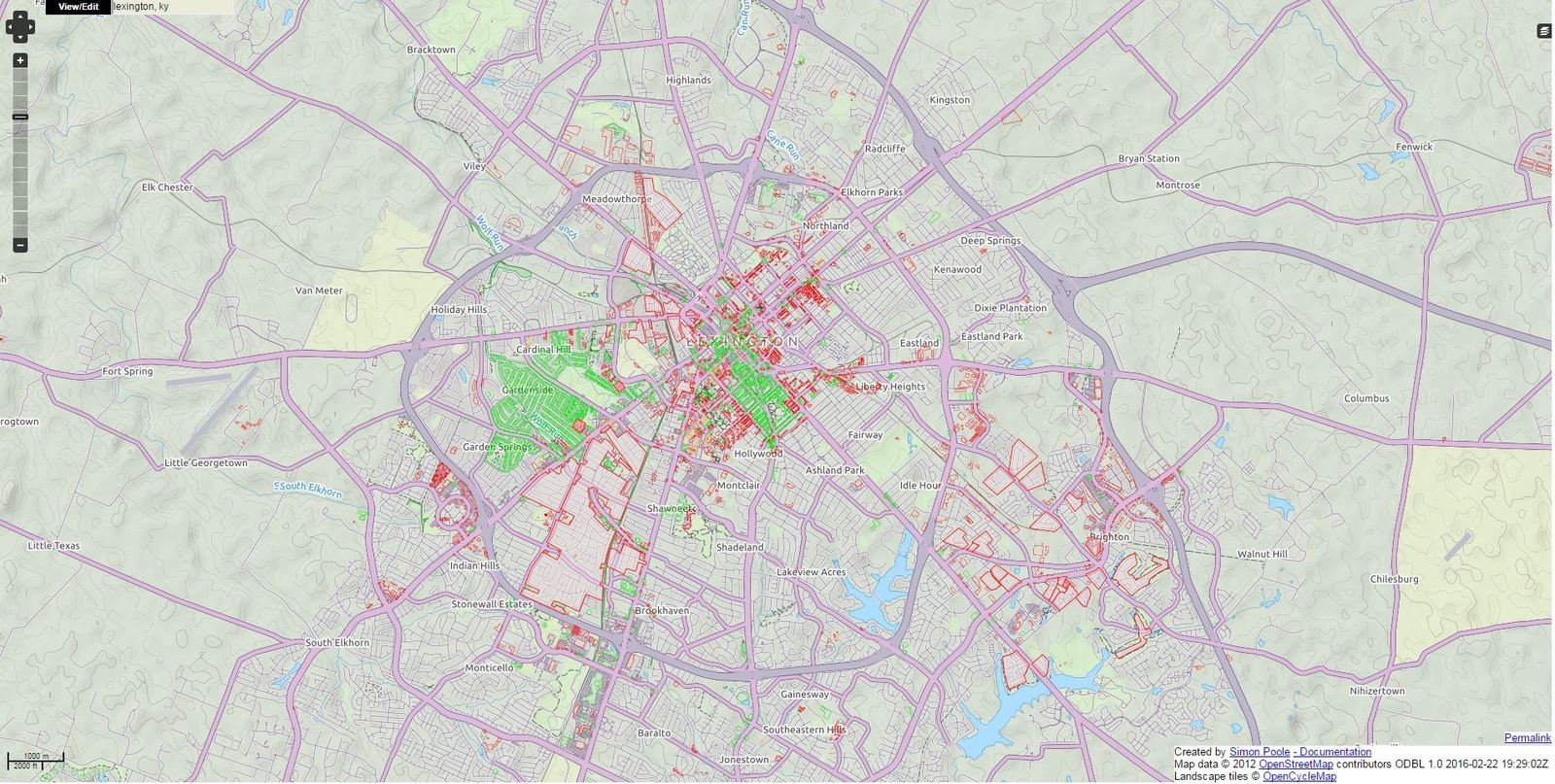
Green = Addressed
Red = Unaddressed
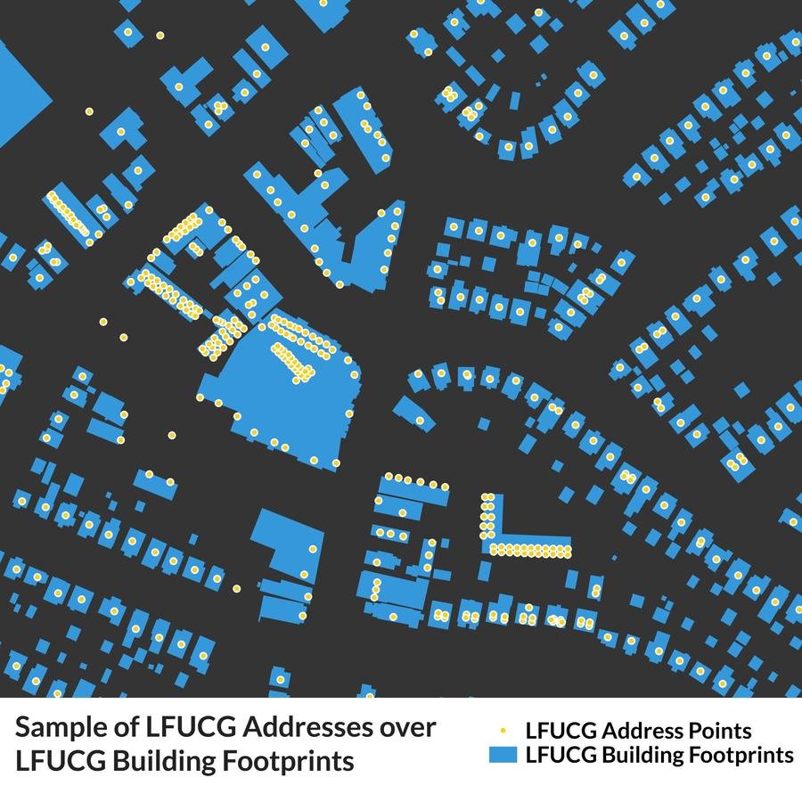
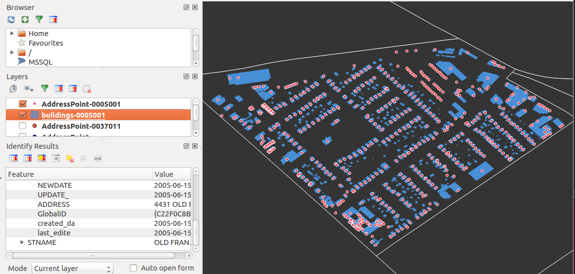
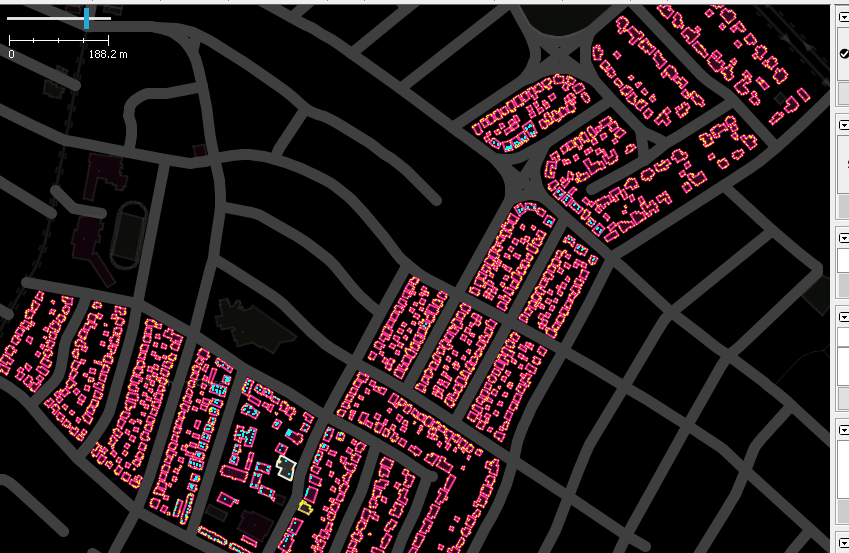
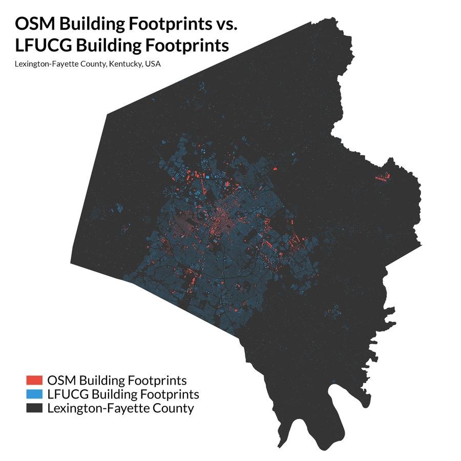
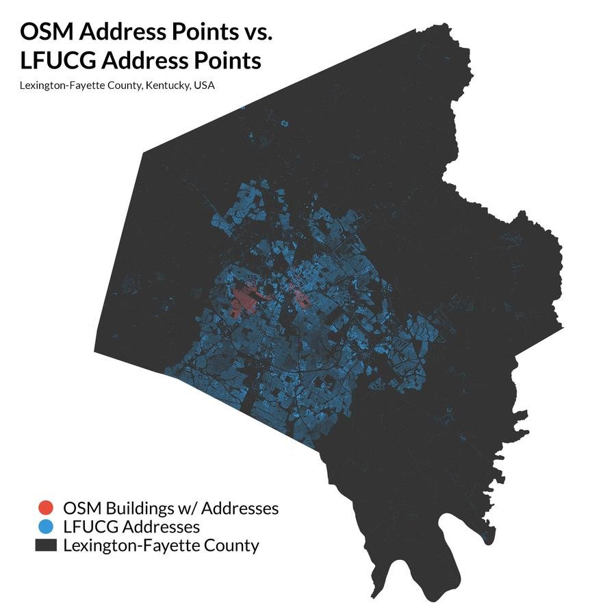
Visually comparing OSM data to import for target area
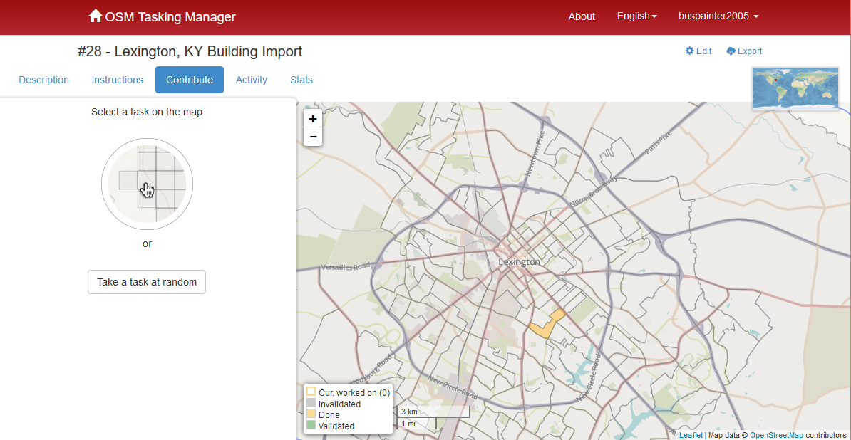
- Import wiki
- Software Setup Guide
- Contributor Guide
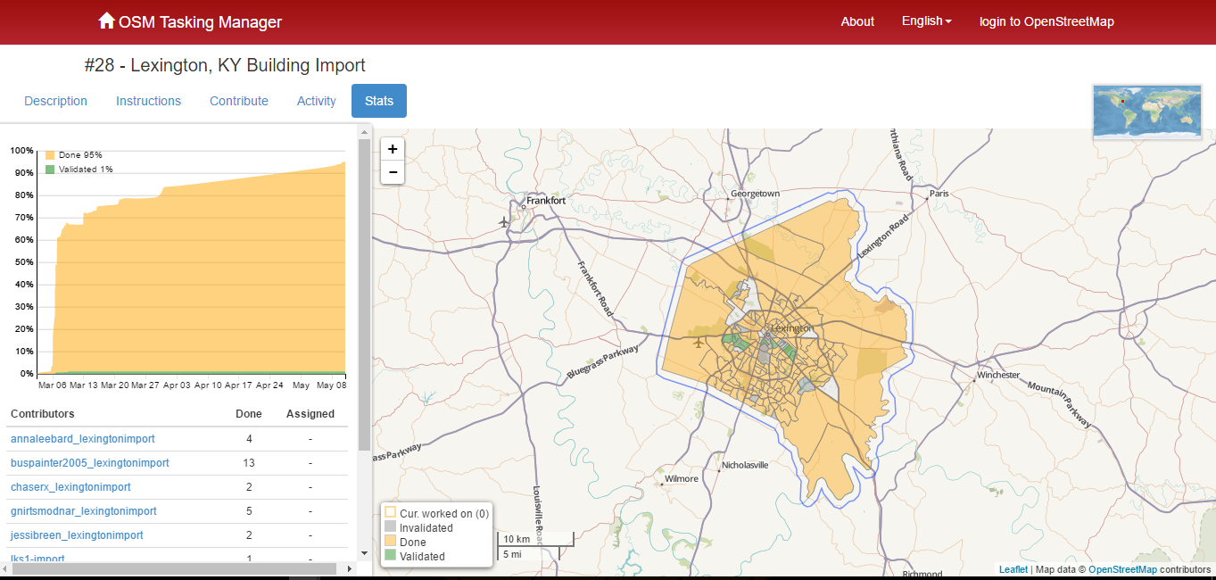
- Import Tasks
-
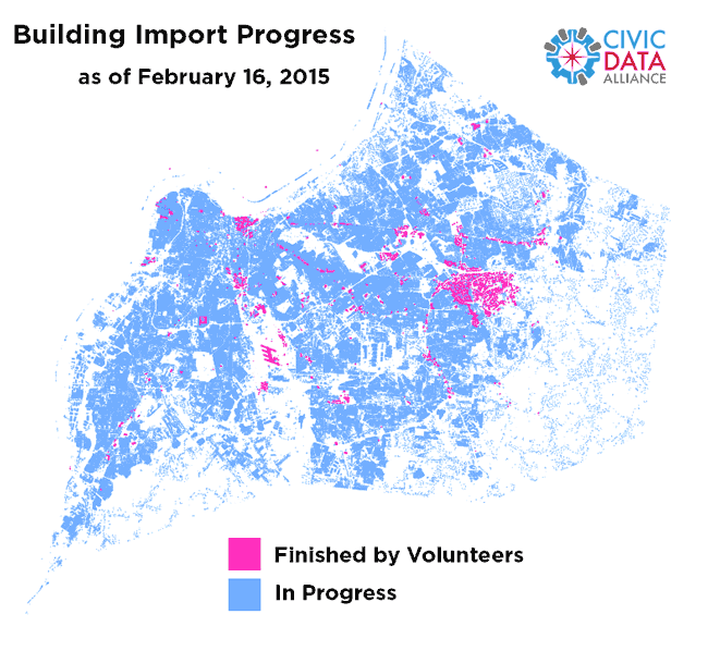
Public Data
IMport Status: 10/18/16
Open Data
Open Source software
Open Knowledge
Open Data
Open Source software
Open Knowledge
Thanks!
Ryan Cooper
Slides: http://bit.ly/kampcoa
@maptastik
ryancooper729@gmail.com
ryan-m-cooper.com
A Commonwealth of Openness
By maptastik


