Shift + maptimeLEX
Merged Meetup
October 21, 2015
Ryan Cooper (@maptastik) | maptimeLEX (@maptimelex)
Follow along:
Meetup Resources
Intros
What's the deal with maps?
Let's make some maps!
Structure for the evening:

Intros
- Name
- Mappy Person or Designy Person?
- Do you believe in ghosts?

What's up with maps?
[A] spatial representation of the environment that is presented graphically.
Kimerling et. al. Map Use, (2012).
ZZZZZZZZZZZZZZZ
Maps are...
Maps are CONVENIENT
Maps are A WAY TO MAKE SENSE OF THE WORLD
Maps are A WAY TO REIMAGINE THE WORLD
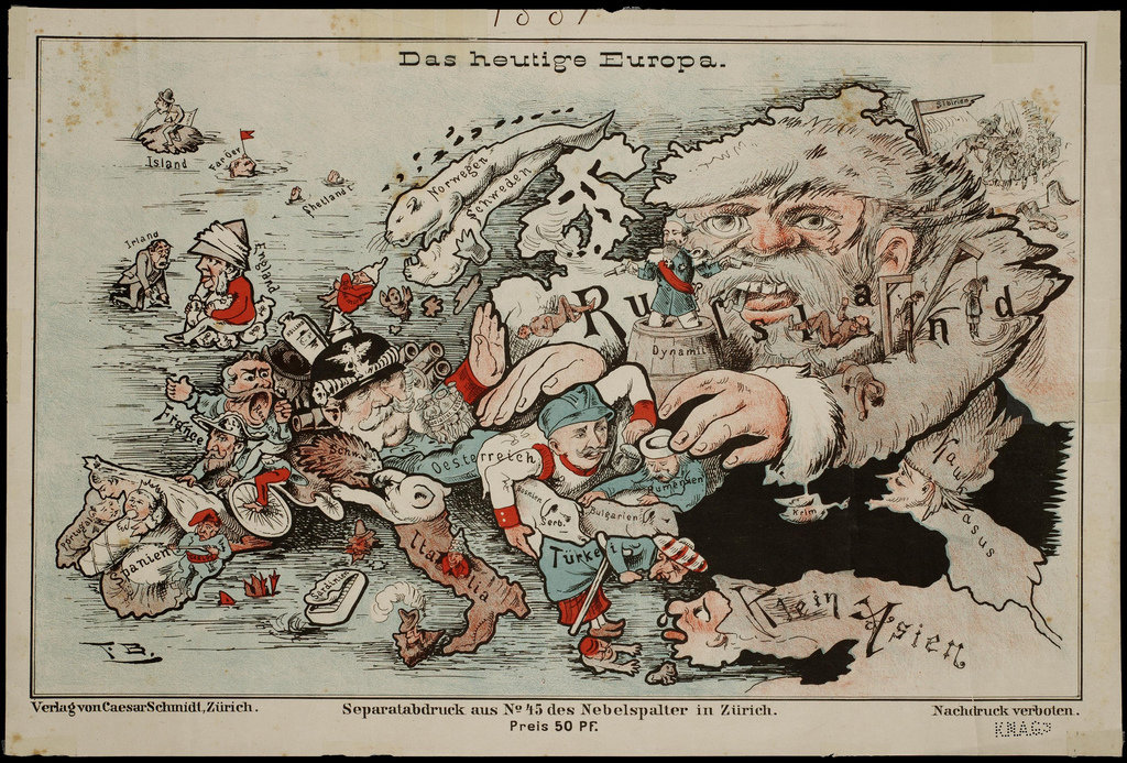
Maps are OPINIONATED
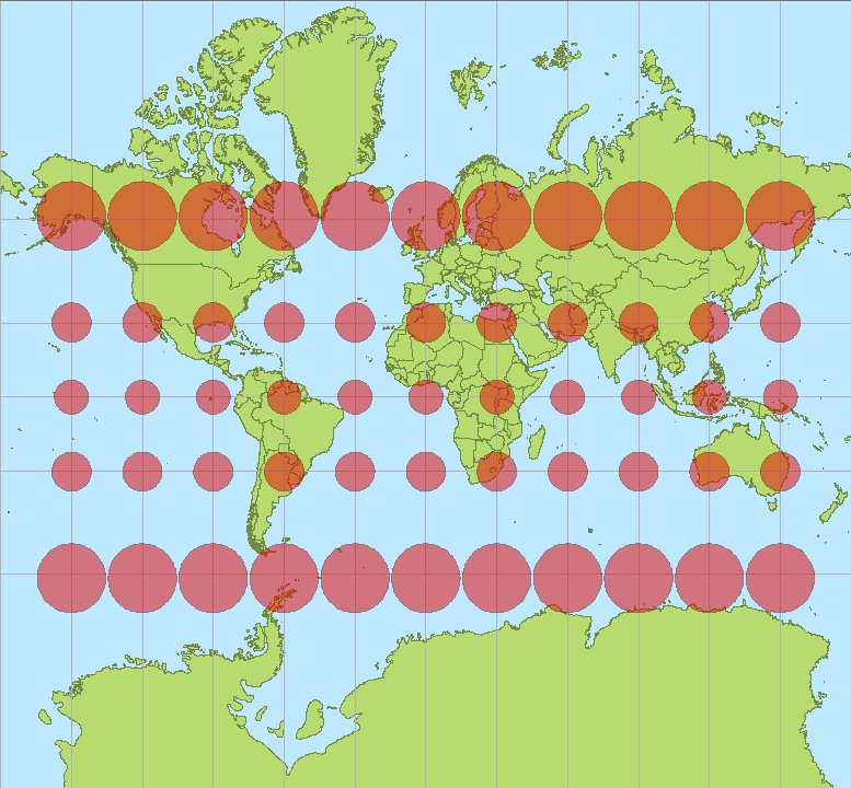
Maps are LIES
Human Wasteland - Jennifer Wong
Maps are REVEALING
Maps SHOW PATHS IN OUR WORLD
Maps CHART PATHS TO NEW WORLDS
Maps are and mean a lot of different things

Claude Shannon's Model of Communication
What are some common approaches to making maps?
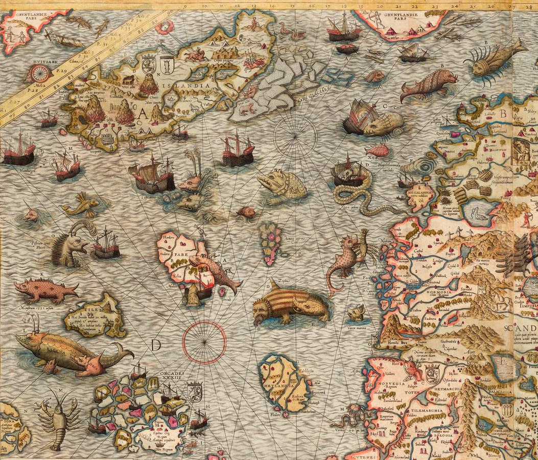
Hand Drawn Maps
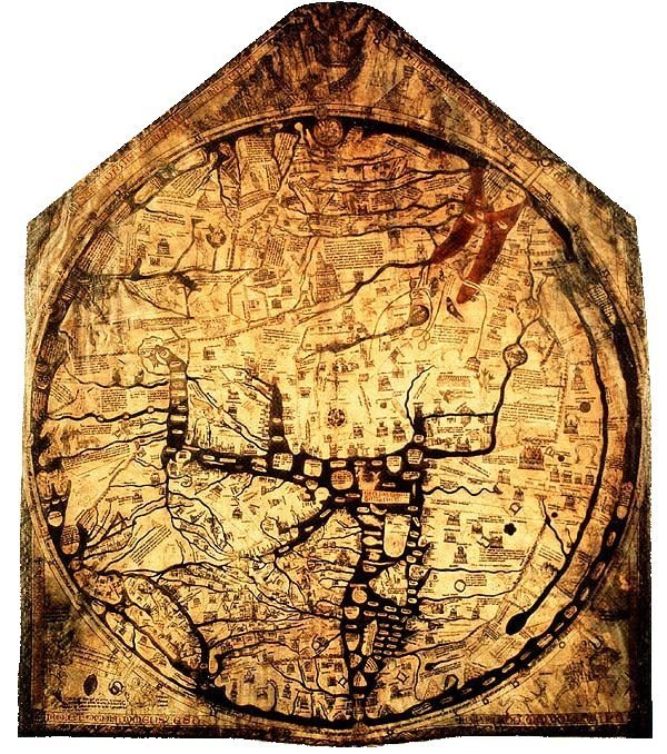
Hereford mappa mundi (appx. 1285 AD)
Geographic Information Systems

- Kitchen sink approach to mapping
- Manage geographic data
- Analyze geographic data
- Create geographic data
- ...
- Make maps
Photo/Vector Editing Software
GIMP
Inkscape
Web mapping


What are the components that make up a typical web map?
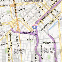
Base Map
- Static data* that is always present
- Zoom levels 0-21 affect presentation
- Zoom level styling file: CartoCSS, Mapnik XML
- Tools for styling: Tilemill, Mapbox Studio Classic
*This is changing with vector tiles, but we won't go into that tonight
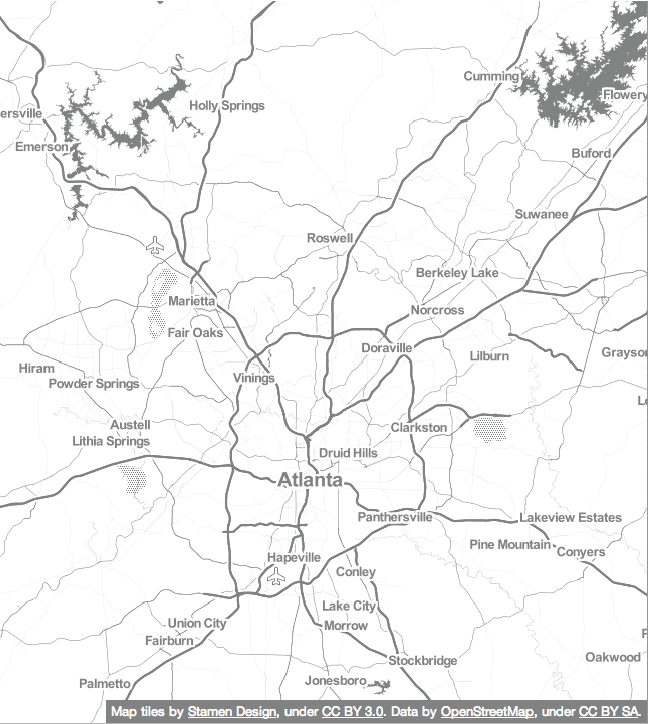
Made of tiles!
- 256px X 256px
- Same boundaries
Behind the curtain...

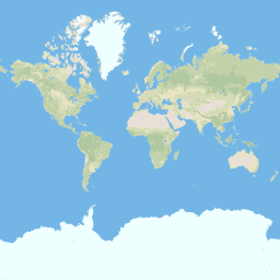
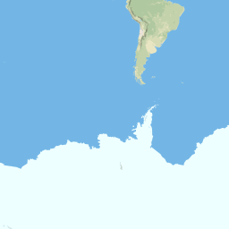
Zoom Level: 0
Zoom Level: 1
# of tiles increase by a factor of 4 for each zoom level
- z0 = 1 tile
- z1 = 4 tiles
- z2 = 16 tiles
- ...
- z15 = ~1.1 billion tiles
- z17 = ~17 billion tiles
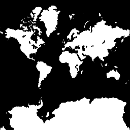
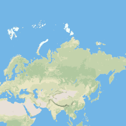
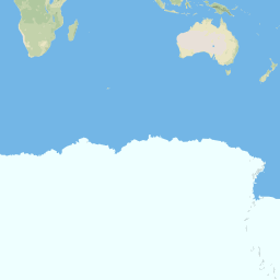
Zoom Level: 0
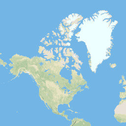
Zoom Level: 3
Zoom Level: 7
Zoom Level: 12
Zoom Level: 17
Premade tiles!
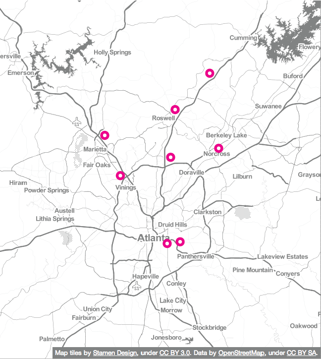
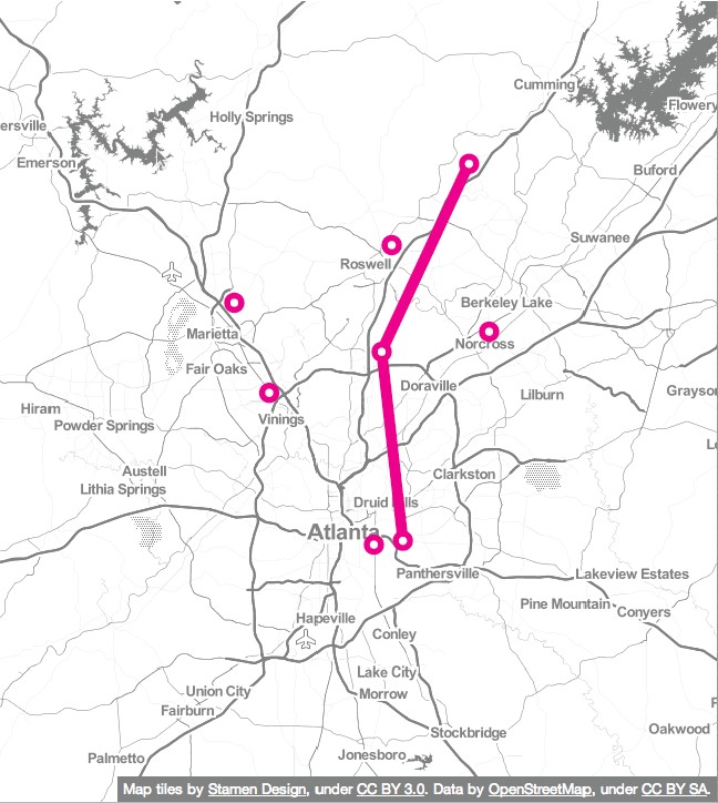
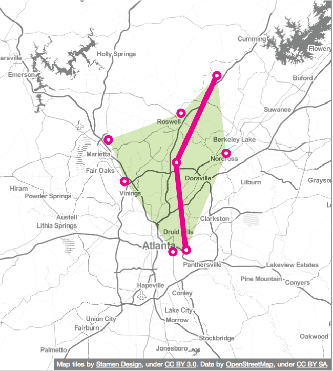
Feature Layers
- Points
Feature Layers
- Points
- Lines
Feature Layers
- Points
- Lines
- Polygons
Common Feature Layer Filetypes
- Shapefile
- Major GIS filetype
- KML/KMZ
- Used by Google
- Comma Separated Values
- Common in GIS and web mapping!
- Easy to make in a spreadsheet program like Excel, LibreOffice Calc, Google Sheets, etc.
- GeoJSON
- Used for lots of web maps
Where can I get data?
- Local
- State
- National
- Global
How does this all come together to make a map?
It's complicated.
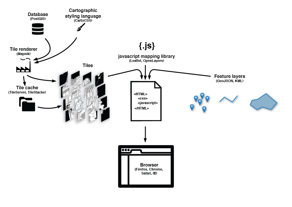
You don't have to do all this.
Web Mapping Platforms
Leaflet
- JavaScript library that:
- Grabs tiles for your basemap
- Adds points, lines, and/or polygons of your feature layer
- Handles interaction
- Extended with several plugins for greater functionality
Mapbox
- Mapbox Editor
- Simple, GUI-centered mapping platform
- Tilemill/Mapbox Studio Classic
- Create your own basemaps!
- MapboxJS
- Extension of Leaflet
- Access Mapbox services
- And LOTS more...

Mapbox Editor
Tilemill/Mapbox Studio Classic
Tilemill/Mapbox Studio Classic
CartoDB
- All-in-1 mapping platform
- Data
- Styling
- Interaction
- No database setup!

Get user generated data!
- Different mapping approach than previous examples
- SVG-based
- DOM manipulation
- Great interaction, styling and transitions
- Not exclusively for mapping
- Very powerful
Let's make some maps!
Map 1
Lexington Beer Scene
Tool: Mapbox Editor
Map 2
Kentucky Ghost Towns
Tool: Tilemill
maptimeLEX, October 2015 meetup
By maptastik


