The History of Information Graphics
Lesson 3
- Prehistory and the ancient world
- function: mnemonic, educational, instructional
- high level of abstract, diagrammatic thinking
- early concepts of numbers, space, topography
- cult - secondary function
- function: instructional, episthemic, storytelling
- high level of abstract, diagrammatic thinking
- measurements, calculations
- organizing the state
- concept of time, historycity
- cult - secondary function
Prehistory
Ancient civilizations
Counting sticks, tally bones - 40 000 BC
- the first artefacts presenting "numbers", accounts
- understanding "numbers" and numeral systems
- abstract thinking
- still in use in the 19th century
- mnemonic functions, memory devices, aids
- ritual function?

Lebombo bone, Swaziland, 45 000 BC
29 notches - lunar phase counter? - broken

Ishango bone, Ishango, DR Congo, 20 000 BC
lunar phase? prime numbers? - numeric system

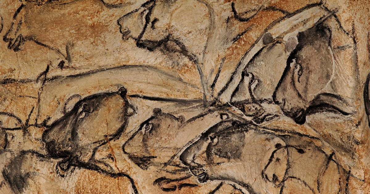
Figurative cave paintings - 35 000–15 000 BC
- Images of learning? - may have served to initiate young males into hunting - knowing the animalia before practicing
- Early representation of planets, stars

Chauvet cave paintings, Ardéche, France, c. 32 000 BC

Prehistoric topography - 25 000 BC–10 000 BC
- Abstract visualization of rivers, mountains, crosses

"Map" from Pavlov, Breclav, Czech Republic, 25 000 BC

The Mezhirich map, Mezhirich, Ukraine, 12000BC–5000BC

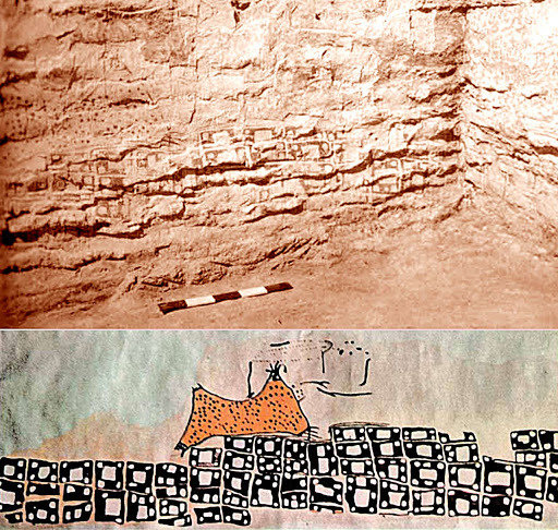
Map of Catal Hüyük? Catal Hüyük, Turkey, 6000 BC

Sumerian-Babylonian clay tables - 3000–600 BC
- Forerunners of algebra, geometry
- cuneiform tables
- abstract geometrical forms
- sheet music
- idea about the world, concept of boundaries -mapping, cityplan

Cuneiform clay table of mathematical calculations, Babylonian Empire, 2000 BC

Babylonian "Pythagoras' Theorem", c. 1900 BC


Hurrian Hymn to Nikkal, Ugarit, Syria, c. 1400 BC
musical scores, rhythm, instructions

Townplan of Nippur, c. 1400 BC

Townplan of Nippur, c. 1200 BC


Babylonian map of the world - 700 BC
Storytelling
- Concept of time/history
- Figurative representation of historical accounts
- Propagandistic storytelling, war

The Battle of Kadesh 1274, reconstruction, Ramesseum, Egypt, 1250BC

"The Battering Ram", relief from Assurbanipal I's palace in Nimrud, 860 BC
Navigation sticks, charts - 2000 BC
- still used until the II World War
- Micronesia, Polynesia, Marshall Islands
- Ocean swells, waves, winds and islands
- Learning - were not used during sailing
- Meddo - large chart
- Rebbelib - small scale chart without islands
- Mattang - instruction
- memory device

Navigation chart, Marshall Islands, 1920-30
Information visualization BC
- tables
- maps
- timelines
- diagrammatic concepts
- geometrical concepts
- numbers
- measurements, counts
- concept of accuracy
- propaganda
History of Information Graphics 3
By Attila Bátorfy
History of Information Graphics 3
- 752


