Road Completion Project

Towards a quality checked and complete open road network for Belgium

Ben Abelshausen

OpenStreetMap Belgium

Map
The
World!

'State of the Map' in Belgium

- Excellent basemap.

- Excellent state of transport-related data

  - Good quality road network.

  - Good quality transit data.

- Reasonable landuse.

- Basic address coverage

How far along are we?

How do we know?

What if things change?

Road Completion

Road Completion

Not about importing data!

Road Completion

Not about changing the way we map!

- Change detection, spot changes faster

- Completeness & quality assurances.

Road Completion

Road Completion Project

  1. Compare OSM <-> Other data (Open data or ML-generated)
  2. Mapping!
  3. Feedback

Loop 1

Loop 2

Step1 : Comparison

Step2 : Mapping

Step3 : Feedback

Comparison

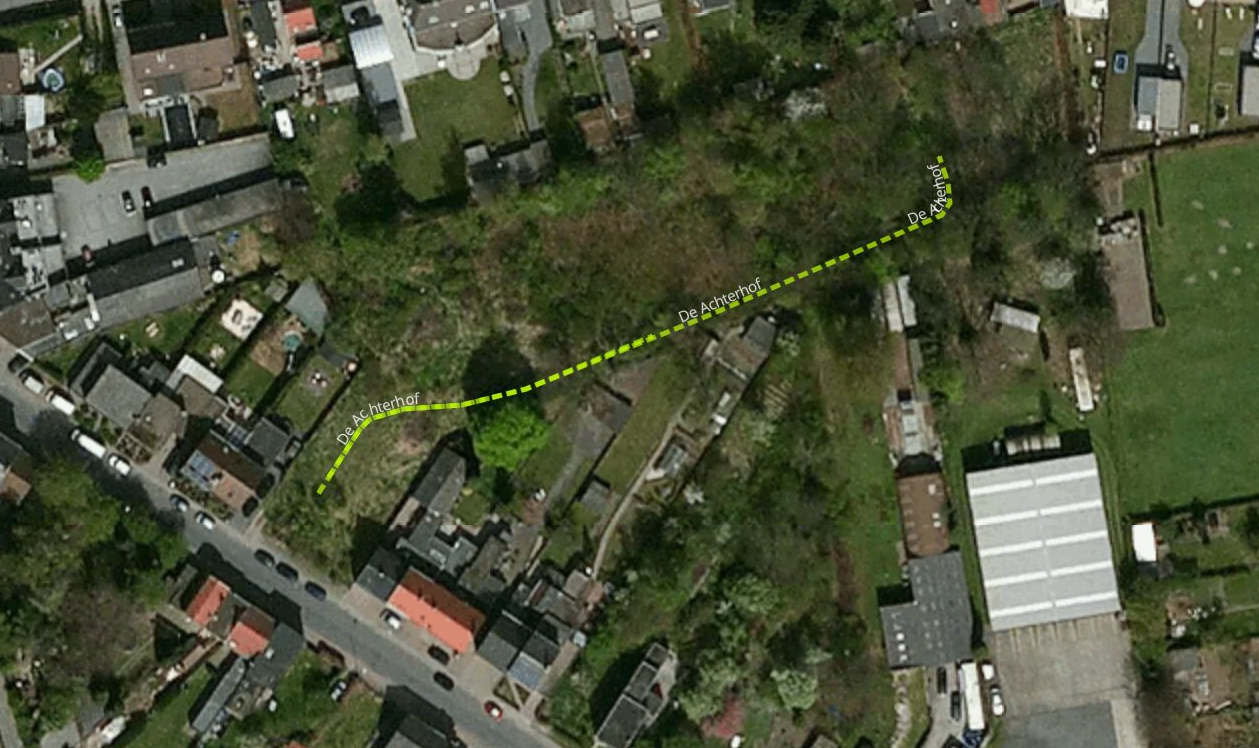
Comparison

- Convert source data (shapefiles, wegenregister)

  - ogr2ogr : reproject and convert to geojson

  - nodejs : convert attributes to OSM-tags

    => this makes the comparion process independent of  source.

  - mapbox/tippecanoe : split into vector tiles


- Distributed comparison process:

  - mapbox/tilereduce : process tiles in parallel.


GitHub: https://github.com/osmbe/road-completion

wegenregister

OSM

OSM (buffers)

comparison

diff

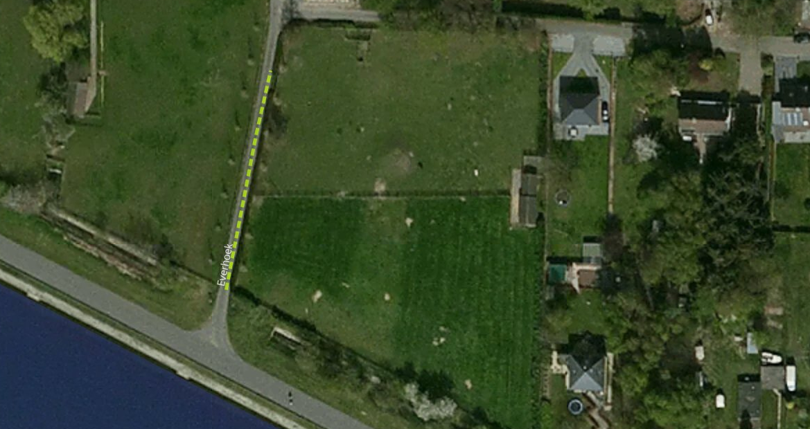
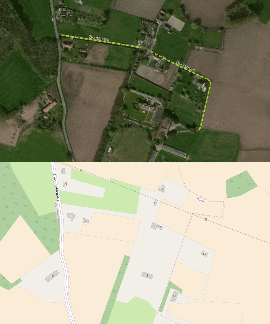
Comparison

(v 0.1)

Comparison

(v 0.1)

Comparison

(v 0.1)

Comparison

(v 0.1)

Comparison

(v 0.1)

Comparison

(v 0.1)

Mapping

Mapping

A lot of isolated cases: Maproulette

    - allows to work on case-by-case

    - keeps track of cases done

    - allows mappers to report false positives

    - doesn't change the mapping process

    - has an API that allows us to:

       - automatically generate the false-positives db

       - re-run the comparison


Loop 1

Loop 2

Mid-term goals

  • Verify OSM road network.
  • Generate quality metrics for OSM roads in Belgium.


Do this is in the open, use open-source tools and open-data so everyone can run their own!

Why?

Trust!

Is OSM still relevant when we have ML and all that open data?

What about open data?

Is OSM still relevant with all this open-data?

Usually open-data is collected by and for the government and you are not part of that process!


What about machine learning?

"The human factor"

Commercially available data?

Response to Open Data


Use the trend to improve our own data


At the same time keep our 'chaotic structure' and openness alive

Response to ML/bigdata


Use the trend of ML-driven solutions to generate data/quality check data to improve our own data

At the same time keep our 'chaotic structure' and openness alive

open data, ML/bigdata are opportunities not 'competion'

open data, ML/bigdata

... can enable OSM to guarantee a degree of quality and completeness

open data, ML/bigdata

... can make OSM to be the best database of the physical world

We get smarter every day!


(because we are a big diverse community)

Imagine

  • A costless (or very cheap) datasource.
  • Quality checked and verified.
  • Almost always up-to-date.
  • Still community-driven!


Who can compete with this?

(almost) nobody

We

are

winning!

Our community:


www.osm.be

community@osm.be

@osm_be

www.meetup.com/OpenStreetMap-Belgium/

We need help!

(and we need sponsors!)

I am:

Ben Abelshausen

Board member of OpenStreetMap Belgium/Open Knowledge Belgium

Routing and mobility expert:

www.itinero.tech

www.anyways.eu


Road Completion Project - Towards a quality checked and complete open road network for Belgium [OSM]

By Ben Abelshausen

Road Completion Project - Towards a quality checked and complete open road network for Belgium [OSM]

This talk is about the link between open (geo) data and OSM. The talk will focus first on a more high level overview of what the goal of the Road Completion Project is and how this could enable OSM to become thé references for road network data. Secondly we will go into the practical approach and how we go about accomplishing this project.

  • 2,362