FORMATS
CARTOGRAPHIQUES
Vocabulaire de base
Rasterisé
Vectoriel
VS
Projection
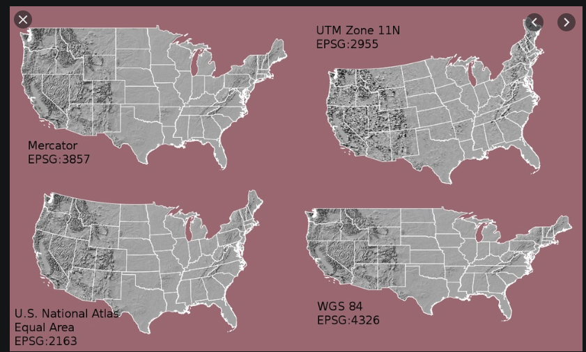
En web 2D (leaflet/google maps) on utilise 4326
Formats web
GEOJSON
{
	"type": "Feature",
	"properties": {
		"name": "Coors Field",
		"amenity": "Baseball Stadium",
		"popupContent": "This is where the Rockies play!"
	},
	"geometry": {
		"type": "Point",
		"coordinates": [-104.99404, 39.75621]
	}
}
Affichage sous leaflet :
L.geoJSON(geojsonFeature).addTo(map);Format vectoriel, sans style possible
KML
- XML
- Format initialement libre mais approprié par Google Earth
- Nombreuse propriétés possibles (dont les styles)
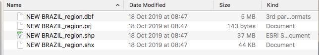
Fichier source
Le SHAPE
Format vectoriel contenant des formes géographiques associées à des attributs alpha numérisques
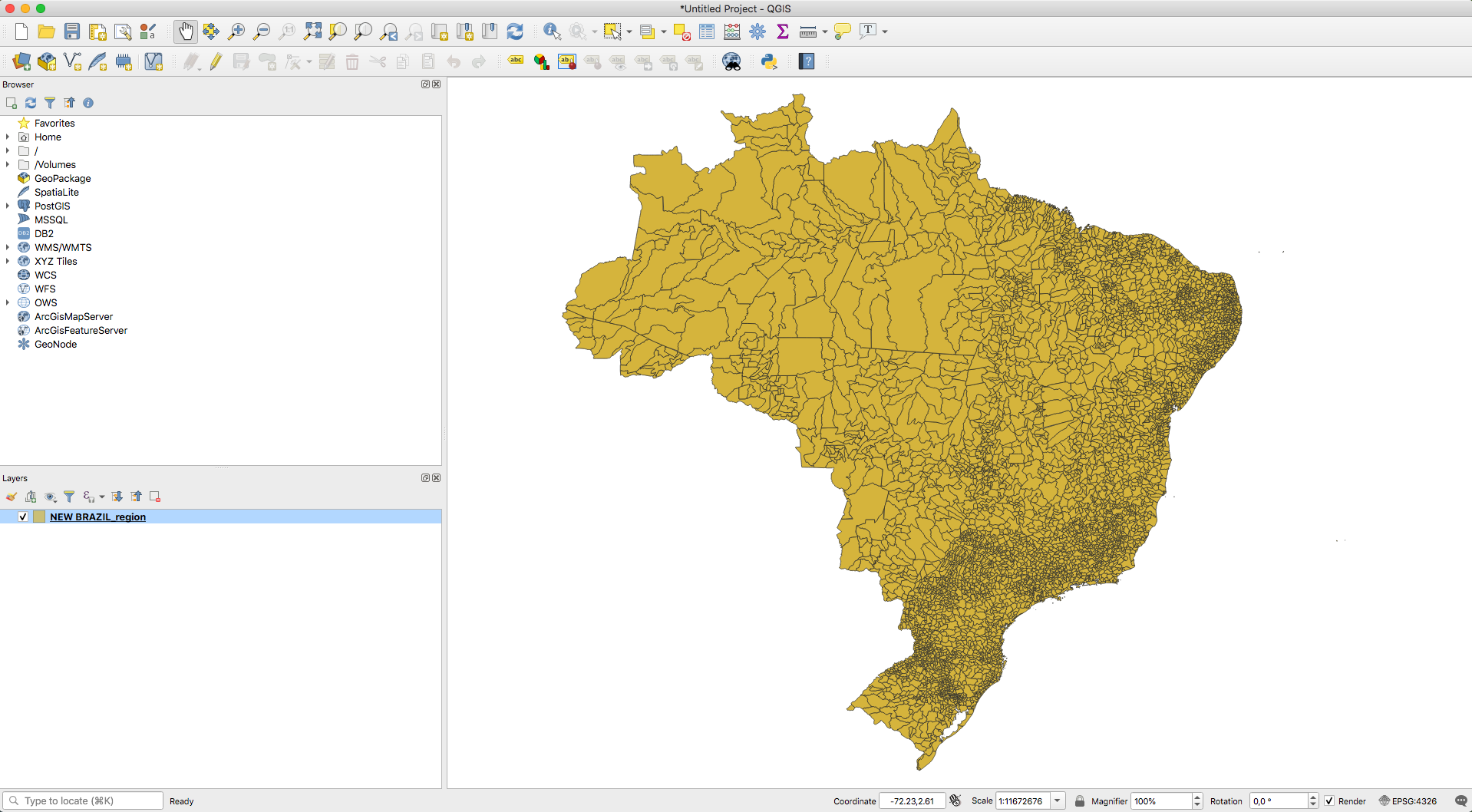
Ouverture sur QGIS
L'importation d'un .shape est possible sous PostgreSQL avec l'extension Postgis

shp2pgsql -s 4326:4326 brazil.shp > brazil.sqlEn ligne de commande :
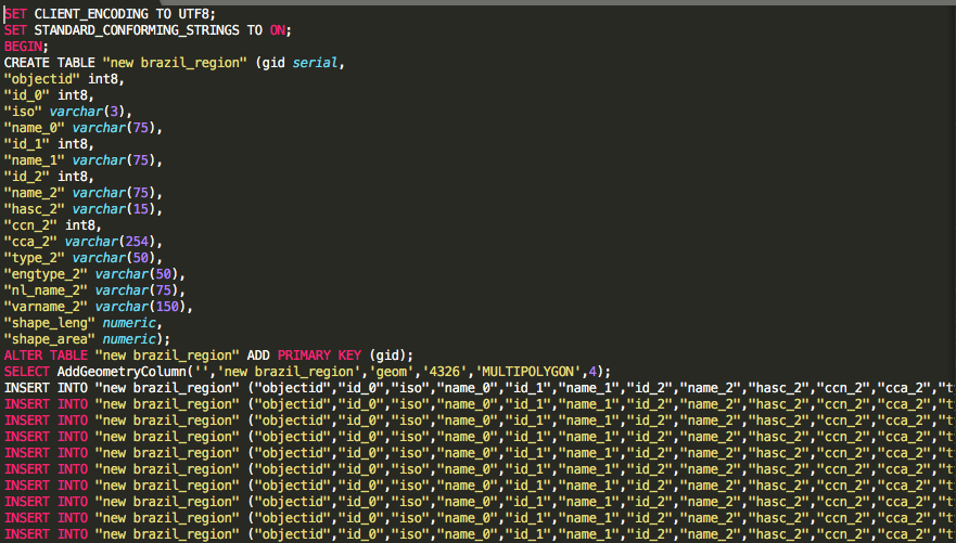
Fichier SQL généré :
Sous postgis
Format source (binaire) :

Format WKT :
SELECT St_AsText(the_geom) FROM brazil;
Format geojson :
SELECT St_AsGeoJSON(the_geom) FROM brazil;
Fichier source
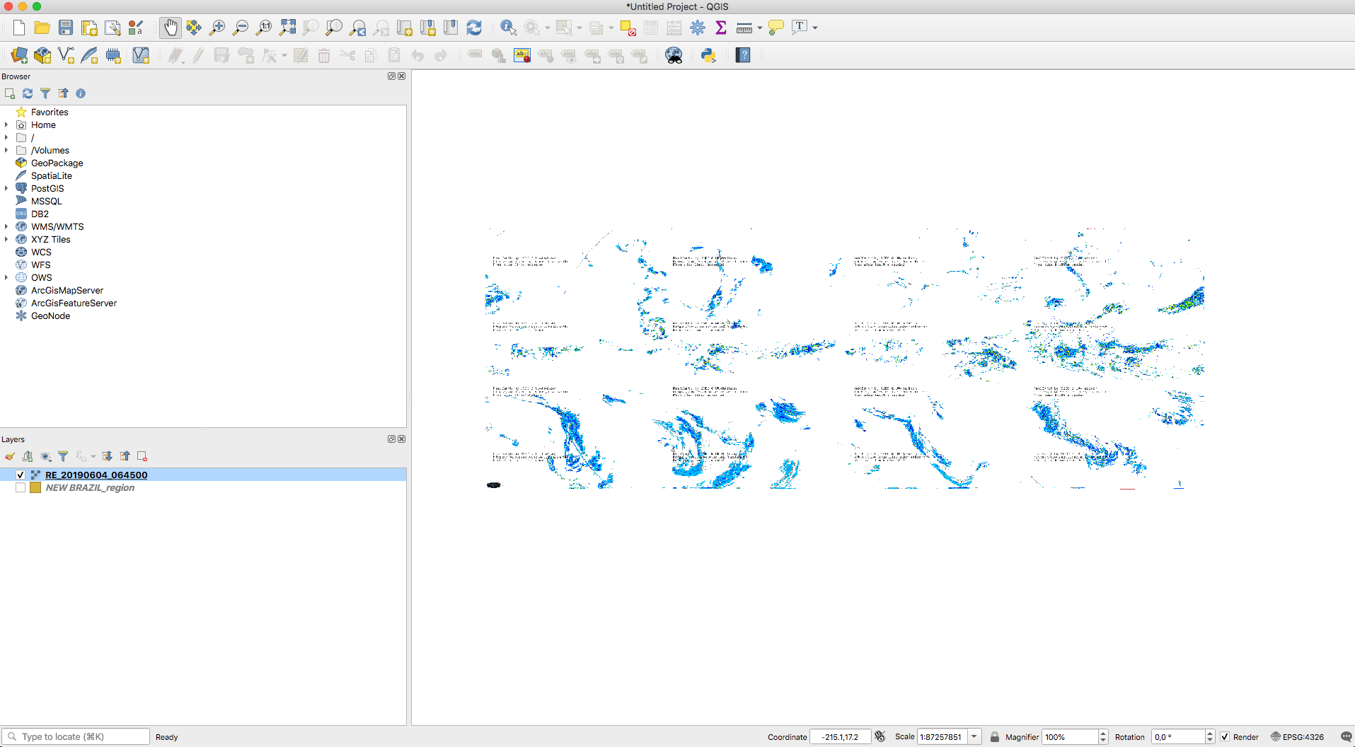
Le GEOTIFF
Image rasterisée + informations géographiques (couleurs, projection)
Ouverture sous QGIS
Transformation avec GDAL
gdal_translate -of JPEG -scale -co \
-a_srs 2478 -projwin_srs 4326 \
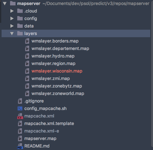
monde_cumul1h.geotiff output.jpgMapserver
Permet de tranformer et d'exposer les données sur le web
Résumé
Cofiguration
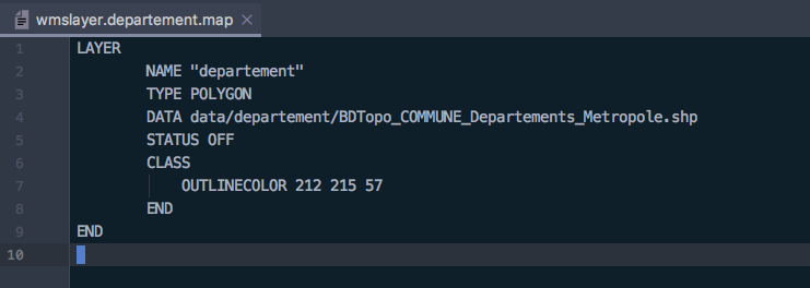
Exemple config fichier source SHAPE
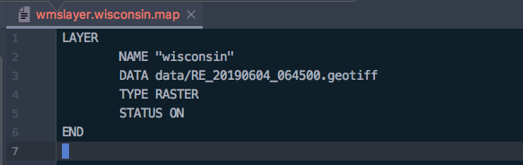
Exemple config fichier source GEOTIFF
Exemple source Postgresql
LAYER
        NAME "zoneworld"
        TYPE POLYGON
        STATUS ON
        INCLUDE "config/postgis.static.map"

        METADATA
                "wms_title" "zone"
        END

        PROJECTION
                "init=epsg:4326"
        END

        DATA "select the_geom common_geoloc_zone"
        CLASS
                STYLE
                        OUTLINECOLOR 0 0 0
                        WIDTH 1
                END
        END
END
Web service exposé
Sortie WMS
/MapServer/WMSServer
	?version=1.3.0
    &request=GetMap
    &CRS=CRS:84
    &bbox=-178.217598,18.924782,-66.969271,71.406235
    &width=760
    &height=360
    &layers=0
    &styles=default
    &format=image
var wmsLayer = L.tileLayer.wms('https://demo.boundlessgeo.com/geoserver/ows?', {
	layers: 'ne:ne'
}).addTo(map);
Sous leaflet :
Sortie XYZ (ou tiles)
var layer = L.tileLayer('http://base_url/tms/1.0.0/tileset/{z}/{x}/{-y}.png');Sous leaflet :
Formats cartographiques
By doelia


