Spatial Data Infrastructure
FOSDEM 2024

Emilien Devos
DevOps Engineer at Camptocamp
in the Geospatial department


What is geoSpatial data?
Science to process and exploit geolocalized data that can be represented on a map.
What is a Spatial Data Infrastructure?
Framework of spatial data, metadata, users, and tools inter-connected.
Why is geOrchestra a complete Data Infrastructure?

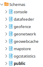
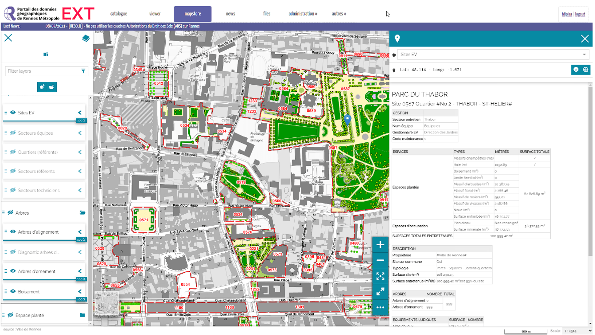
STORE GEOSPATIAL DATA
Access
Geospatial Data
API
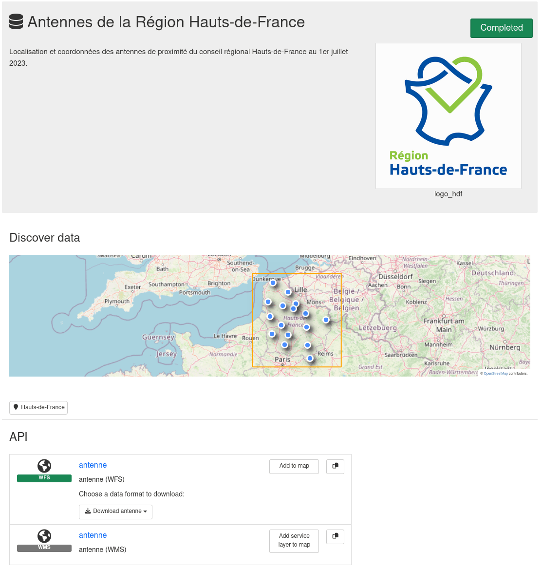

Metadata
- Description
- API services
- Related links
- Author
- Date of creation
- License
- Much more...
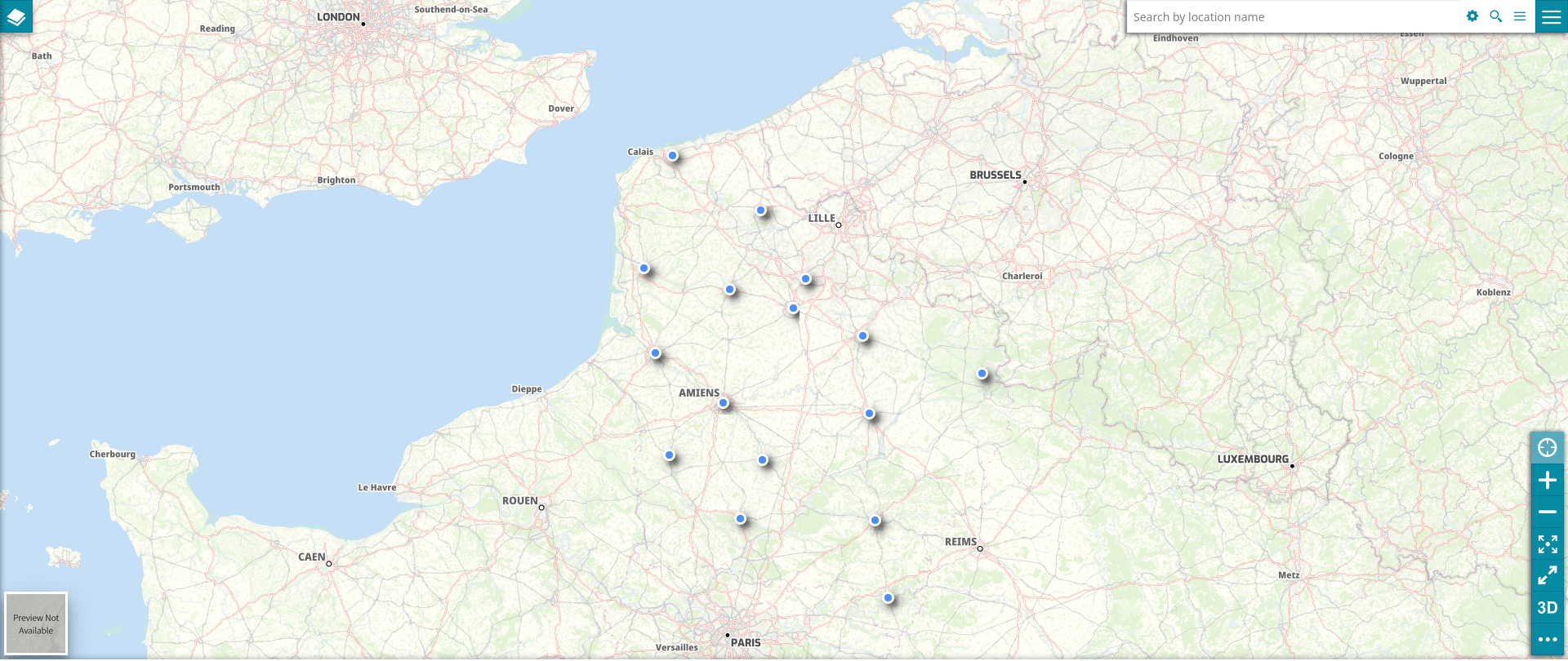
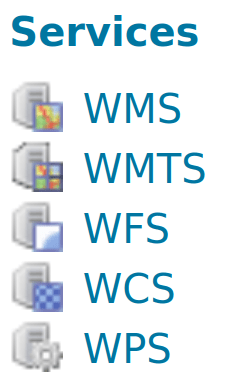
VISUALIZE GEOSPATIAL DATA
CONTROL GEOSPATIAL DATA
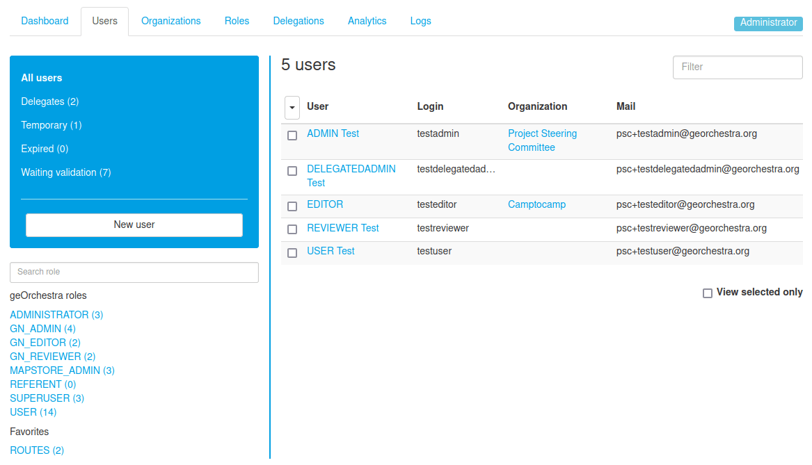
User & roles management
Like a Linux distribution !
And there are actually many more components...
- Datahub
- Geofence
- Analytics
- Datafeeder
- GeoWebCache
All the components are open source.
What are the use cases?
Manage and share relevant information

Bolivia
Lille

Haute-loire

Brittany
Smart cities
Digital Factories

Community

Discover


IRC: #georchestra
(libera.chat)
Test on your computer :

geOrchestra FOSDEM 2024
By Emilien Devos (c2c)


