
Fernando Benitez
I'm GeoGeek
(Bogota - Colombia)
(Universitat Jaume I - University of Münster - NOVA IMS University)
An European Joint Degree with the support of Marie Currie Actions
Benitez-Paez, F.; Degbelo, A.; Trilles, S.; Huerta, J. Roadblocks Hindering the Reuse of Open Geodata in Colombia and Spain: A Data User’s Perspective. ISPRS Int. J. Geo-Inf. 2018, 7, 6.
, , , . Creating a conceptual framework to improve the re‐usability of open geographic data in cities. Transactions in GIS. 2018; 22: 806– 822. https://doi.org/10.1111/tgis.12449
Special Issue "Open Data for Open Cites (OD4OC): Reuse of Open Data through Spatial Analysis"
Joint Proceedings of the 5th Open Data for Open Cities Workshop on Re-use and discovery level, applied to the spatial point analysis process on linear networks and 4th Geogames and Geoplay International Workshop co-located with the 20th International Conference (AGILE 2017).Wageningen, The Netherlands, May 09, 2017.
Mendoza-Silva G.M., Torres-Sospedra J., Huerta J., Montoliu R., Benítez F., Belmonte O. (2017) Situation Goodness Method for Weighted Centroid-Based Wi-Fi APs Localization. In: Gartner G., Huang H. (eds) Progress in Location-Based Services 2016. Lecture Notes in Geoinformation and Cartography. Springer, Cham
International Conference on Connected Smart Cities 2017 (Lisbon). jul 2017.
Uncovering the Mechanisms of Migratory Bird Navigation with Big Data Analytics
Data fusion of GPS and external MAG data
Validation of fusion methods
App from Open science lab for biodiversity
Create semantic trajectories at MAG positions in 3D space/time
App from Open science lab for biodiversity
App from Open science lab for biodiversity
App from Open science lab for biodiversity
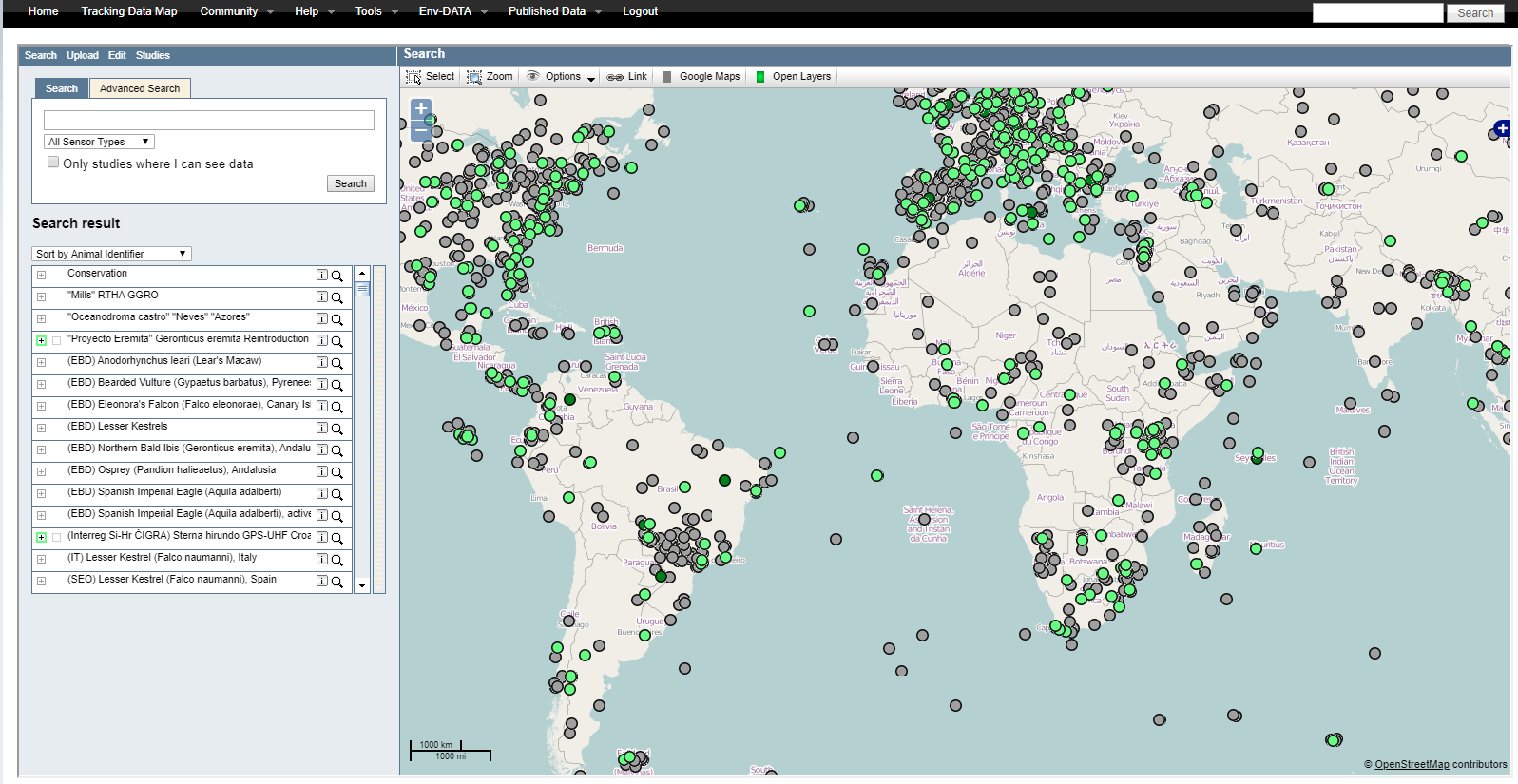
Movebank - Env-Data - linking trajectories with environmental data
Orbital remote sensing/
satellite MAG sources
Terrestrial MAG networks
Spaceweather data
Orbital remote sensing/
satellite MAG sources
Terrestrial MAG networks
Spaceweather data
Magnetic tides from eesa
Just an example
Glad to contribute/help/assist/support any of your projects, regarding spatial data/analysis
I mostly work with ArcGIS, but I can also work with QGIS and other FOSS
Pic from Giphy
+34 600 796 540
@mfbenitez
mfbenitezp
fernando.benitez@st-andrews
By Fernando Benitez