
virtualcitySYSTEMS
A short introduction of who we are
and where we can help you out
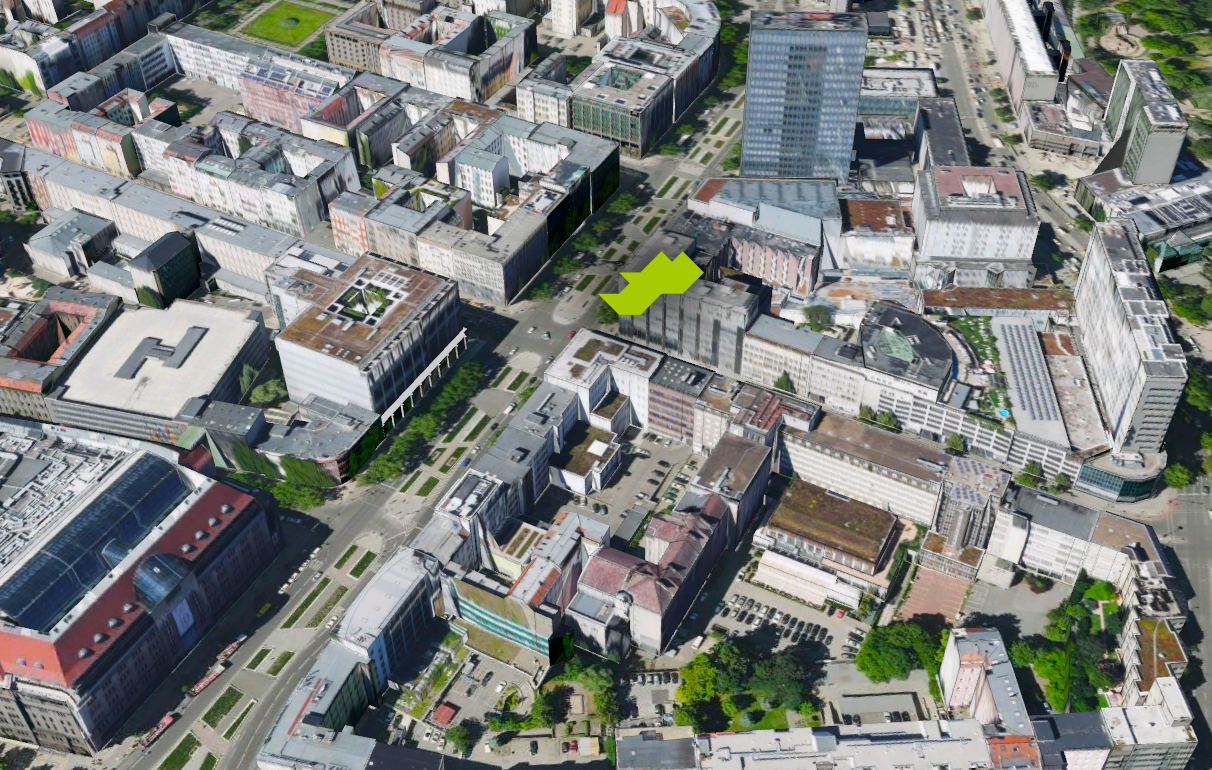
Based in Berlin
Out team

10 years anniversary
What we do
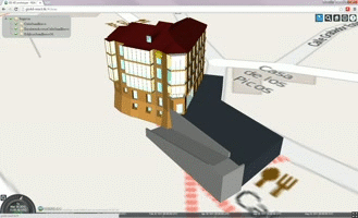
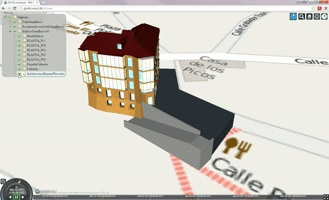
Download Portal Berlin
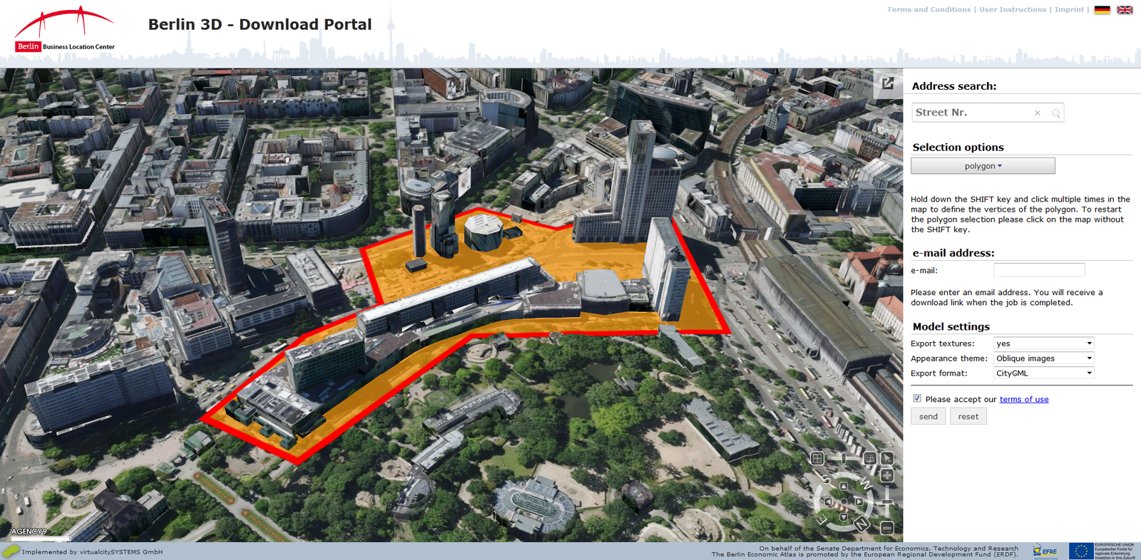
http://www.businesslocationcenter.de/berlin3d-downloadportal
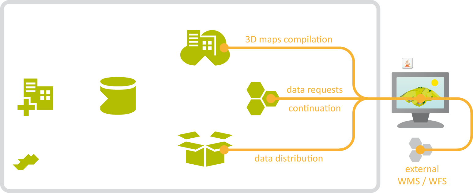
Origin of 3D models?
Where are they stored?
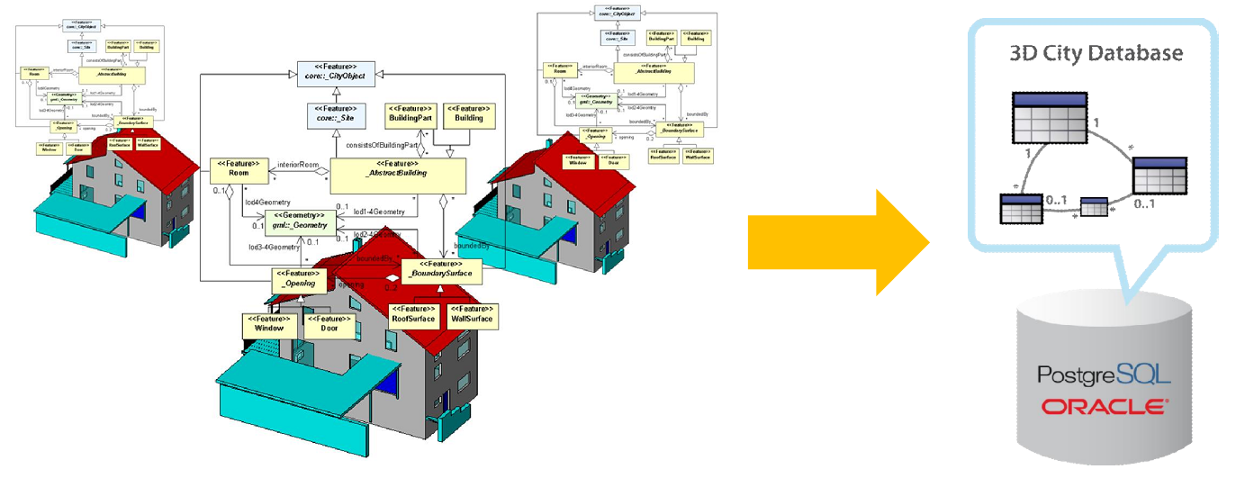
3D City Database on PostGIS
(virtualcityDATABASE)
How are they published to the web?
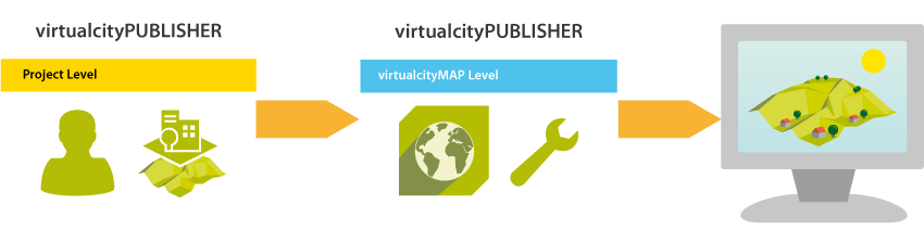
- Authoring tool for projects
- Process terrain and object layers
- Map editor
- Export of 3D maps
Export into different formats?
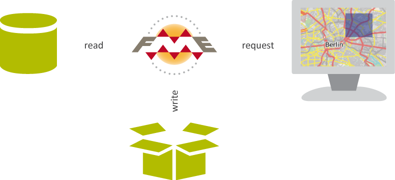
virtualcityWAREHOUSE
Hosting 3D city applications
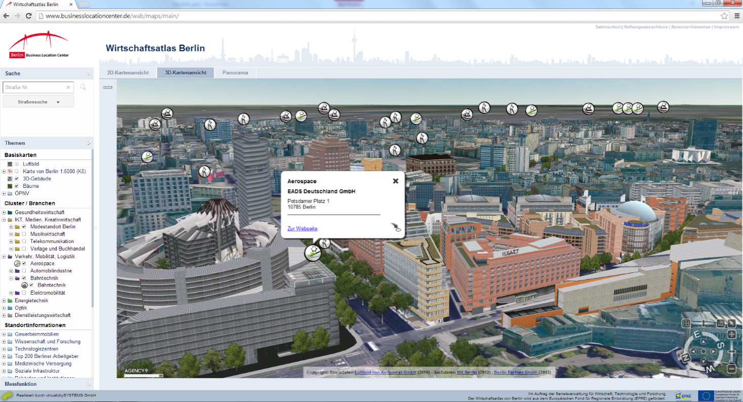
http://www.businesslocationcenter.de/wab/maps/main/
Our motivation to this event
- Generate innovative ideas for 3D city models
- Get involved into the Open Data developer scene
- Make up plans for future dev together
Positive
reactions
...
... around
the globe
Problems ...
How we can help you
- Explaining the XSD schema
- Handle the tricky parts
- Data validation (HOT topic)
- Conversion into other formats
- Libraries: citygm4j, libcitygml
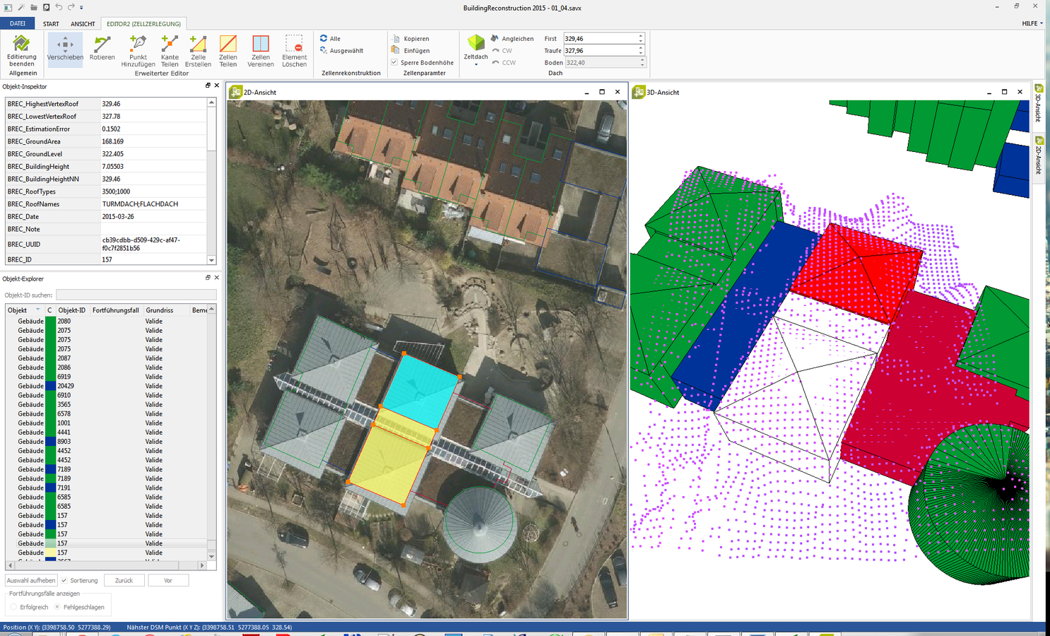
3D City Database
- Explain the database structure
- Import and export of data
- Provide an SQL dump
- Provide an VM with a running system
- Show ways to work with Docker

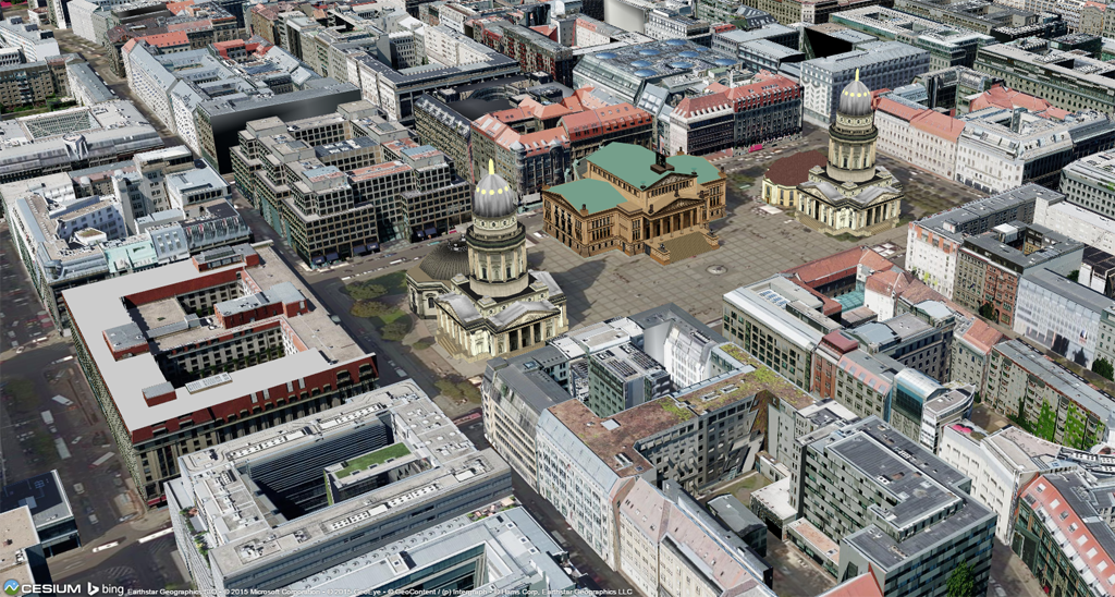
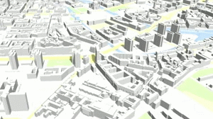
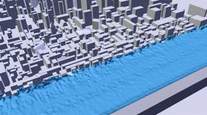
3D web mapping
- Berlin 3D in Cesium (also for download)
- Optimized 3DCityDB export, tiling & caching
- source: github.com/virtualcitySYSTEMS
Ideas for hacking the city
Linked Data
http://daten.berlin.de/
Planning scenarios

Time Tiling
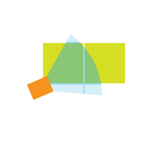

Tiling by space Tiling by time
Semantic web models
http://www.mobivap.eu/2015/sistema-de-informacion-geografica-4d-basado-en-citygml/
Simulation
Source: VCS
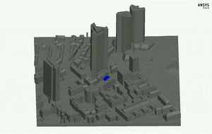
Source: https://youtu.be/WgpXzwLuGDo Source: https://youtu.be/8arpAClpIk0
See you @roofup_berlin !
Contact:
Felix Kunde
fkunde@virtualcitysystems.de
+49(0)30 890 48 71 - 42
virtualcityLINKS
Cesium Demo:
Web Feature Service
- http://berlin3d-wfs/virtualcitymap.de/wfsclient/ (GUI version)
Data, Demos, Documents
- https://github.com/virtualcitySYSTEMS/berlin3d_hackathon
-
... or contact us
virtualcitySYSTEMS
By fxku


