
What is the Great Elephant Census?
How was GIS used to manage data?
Results + Impacts of GEC

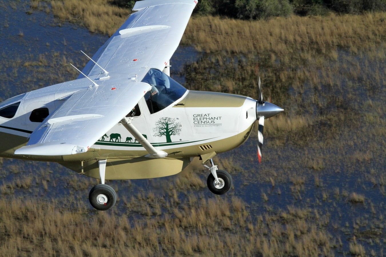
What is the GEC?
The Great Elephant Census
a Paul G. Allen project - est. 2014
Vulcan Inc.
Elephants Without Borders (P.I)

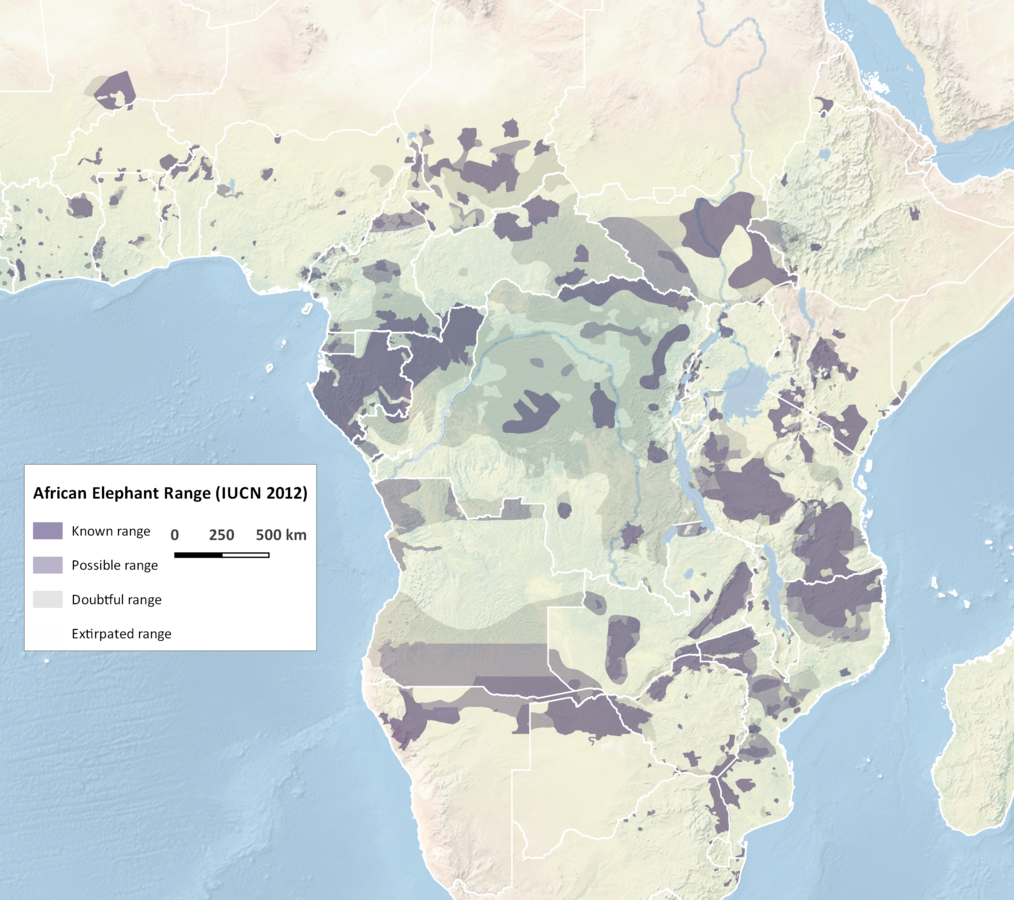
Need for GEC
current data for population status assessment across range

K.S. Gobush/ Save The Elephants, 2013

Ivory ban
Ivory sale to China
Need for GEC
current data for population status assessment across range
GEC partners
Great Elephant Census
by the numbers:
90 scientists
286 crew people
81 airplanes
550+ flights
750,000+ observations
60 different species identified
9700 hours of flight time
20 countries
Survey design
- strata
- transects
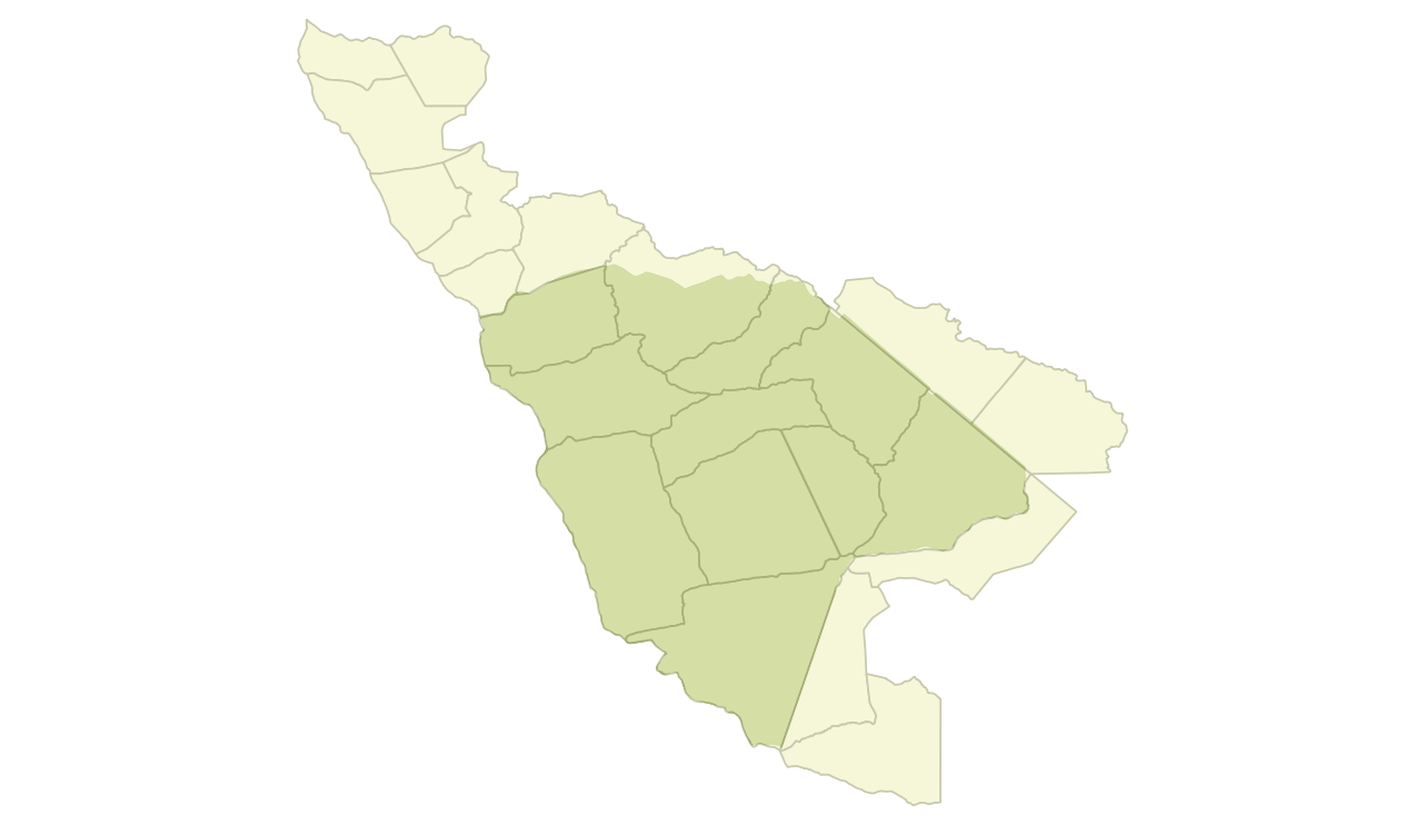
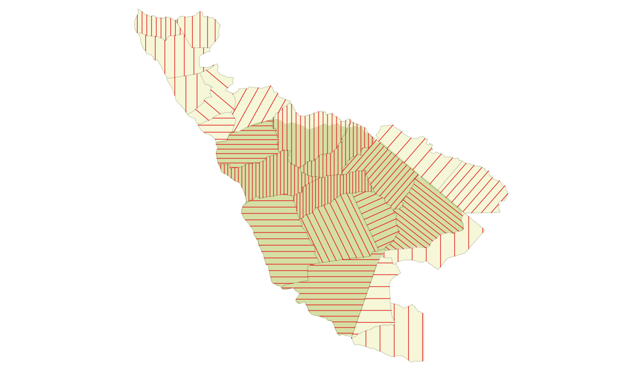
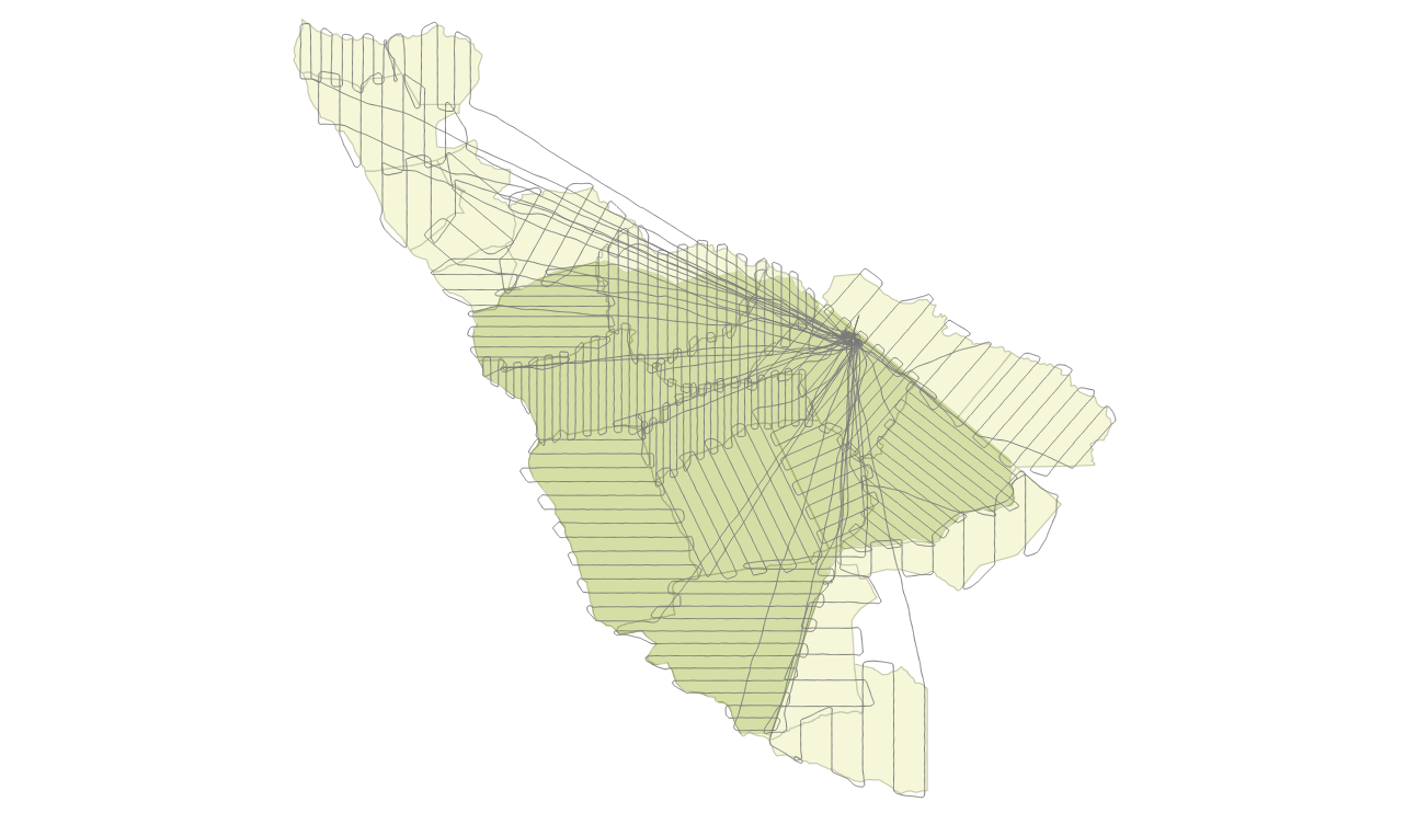
Spatial data collection

observations
audio recorder
camera
Spatial data collection
flight parameters
GPS tracks logs
height above ground
ground speed

Survey data collection
- flight track logs
- observations records
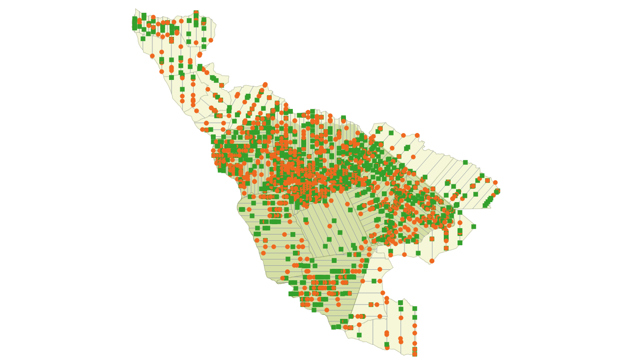
Data normalization
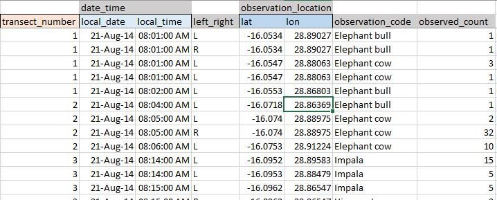


Data normalization + validation
Normalization
Validation: expert review of survey results
Survey data + results
PostgreSQL
[ArcGIS, QGIS]
[Python, GDAL]
[GPS Babel,
DNR Garmin]
[Leaflet]
[Python]
Results
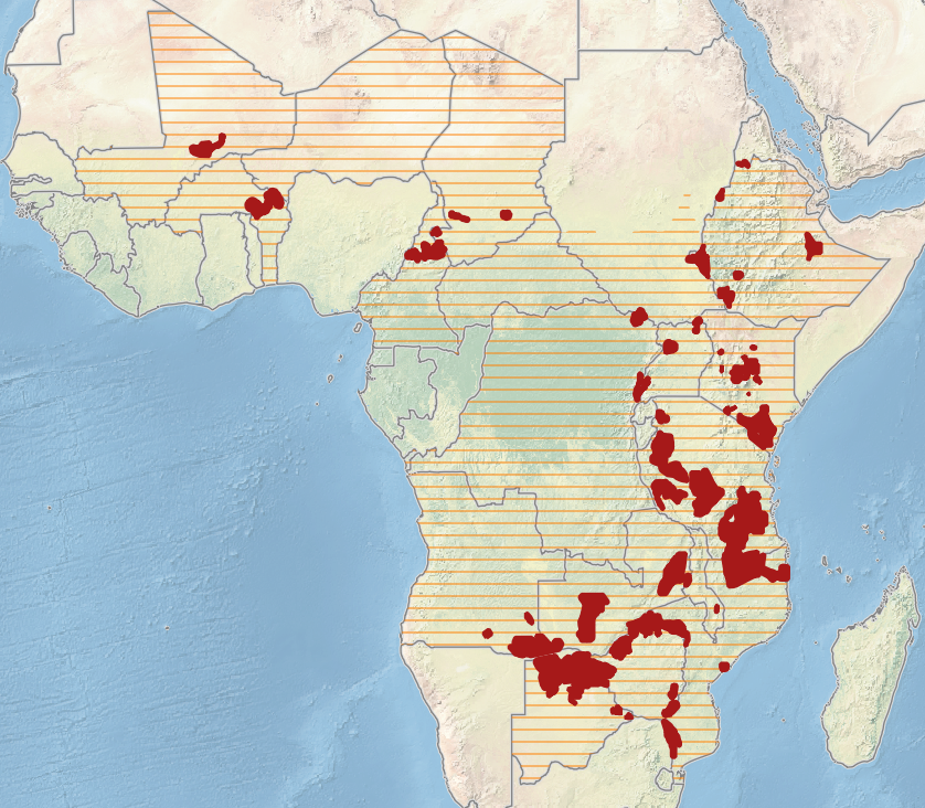
Results + Impacts of the GEC


Results + Impacts of the GEC
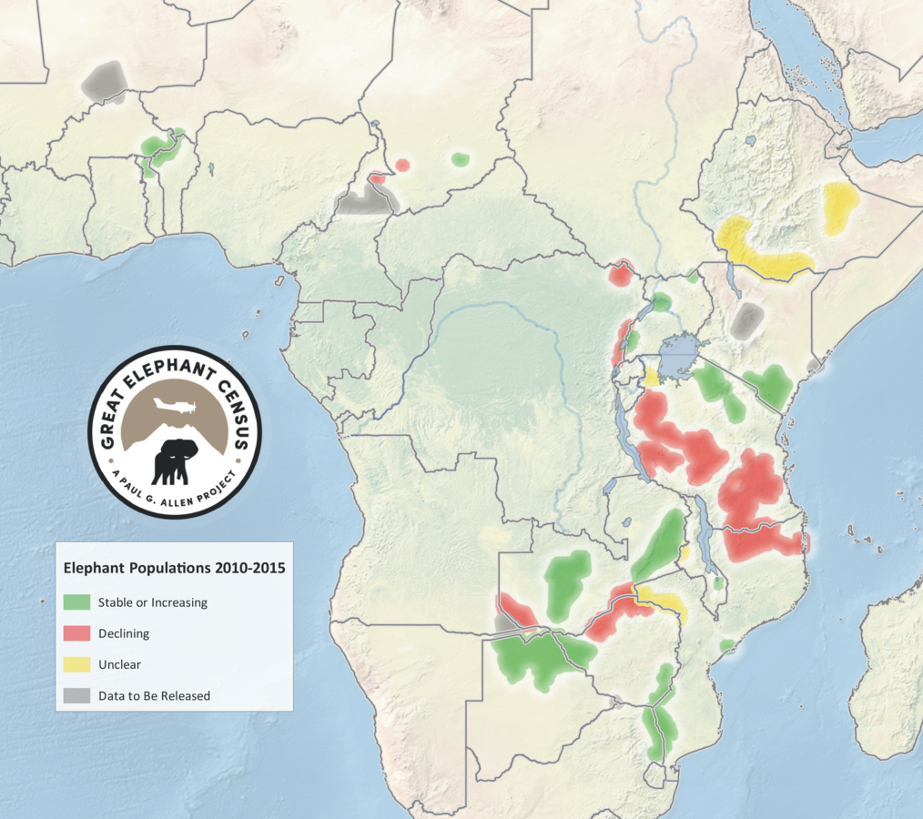
GEC database
Results + Impacts of the GEC

African Elephant Database
- GEC data + reports provided to AfESG
Sept 2016 - African Elephant Status Report
Nov 2016 - CITES Conference of Parties
- complete primary data preserved
- normalized across GEC
- platform for further analysis
conservation implications
- status of elephants + other species
- status of poaching
- human activities / encroachment
- informs land use planning + law enforcement
Results + Impacts of the GEC
Acknowledgements
Vulcan colleagues:
Kathleen Gobush
Kirk Larsen
Ted Schmitt
many GEC collaborators:


Thank you !
Questions??
www.greatelephantcensus.com
joelm@vulcan.com


GIS-wildlife-data
By Joel Masselink
GIS-wildlife-data
Managing large-scale wildlife data using GIS: Great Elephant Census
- 4,409
