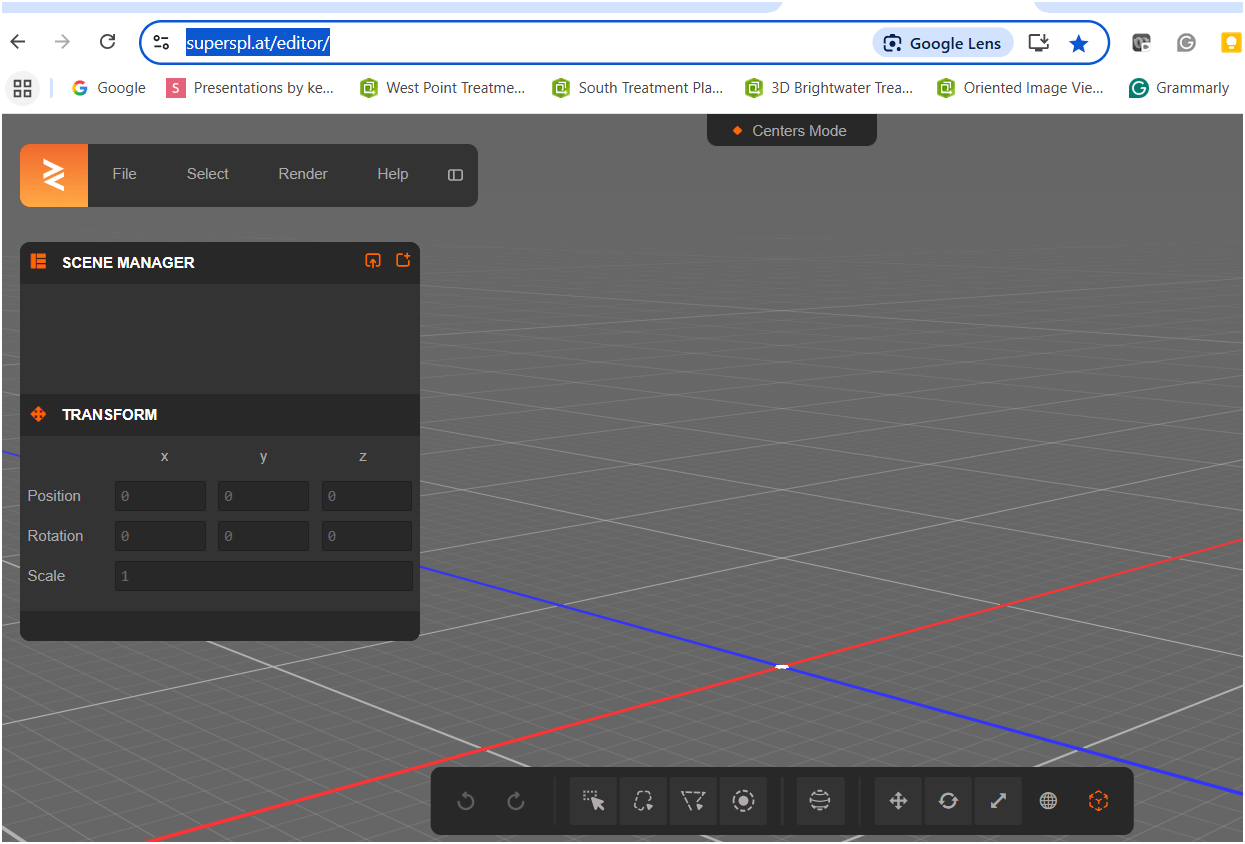
3D Gaussian Splatting
Peter Keum, GISP - King County Wastewater Treatment
What is it? & How do I use it?
June 17, 2025
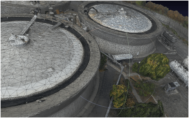
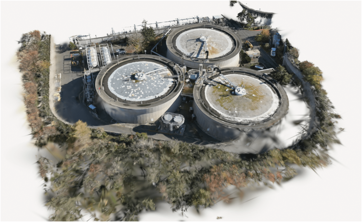
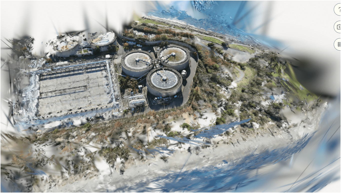
This is 3D Gaussian Splatting model
Here is another..
And Lastly,


CUGOS


King County Wastewater Treatment by Numbers
-
2 million residents
-
424 square miles
-
383 miles sewer pipeline (2.5 inch to 14 ft)
-
74 facilities (PS & RS)
-
5 Treatment Plants: 180 MGD ~ Max. 900 MGD

Seattle, WA --> Medford, OR
WTD GIS Team
7 GIS Specialists
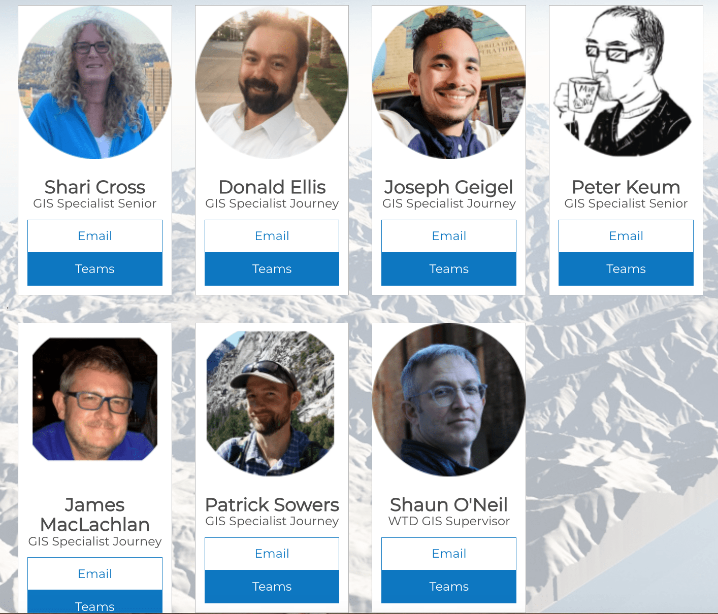
Supervisor
WTD GIS
Maintain Sewer GIS Data
-
FIRS (Facility Information Retrieval System) Data
- Maintenance Hole
- Pipes
- Pump Stations
- Regulator Stations
- Treatment Plants
- Outfalls
- Flow Monitors
- CP Stations
- Connection Points
- Site Plan Data
- 3D Models
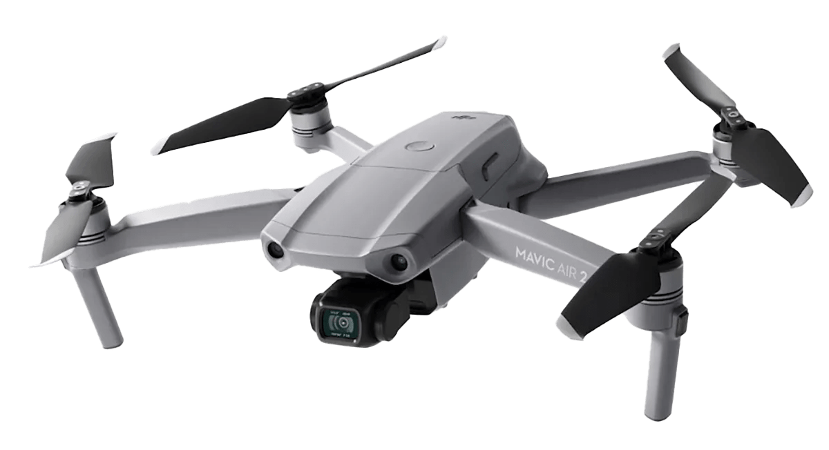
- Drone Collected Data
- .... many many more

WTD
GIS
DATA
3D Gaussian Splatting
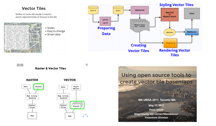
WA URISA - May 17, 2017
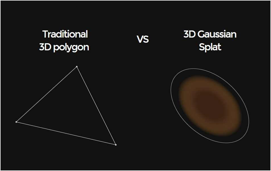
1. What is it & why use it?
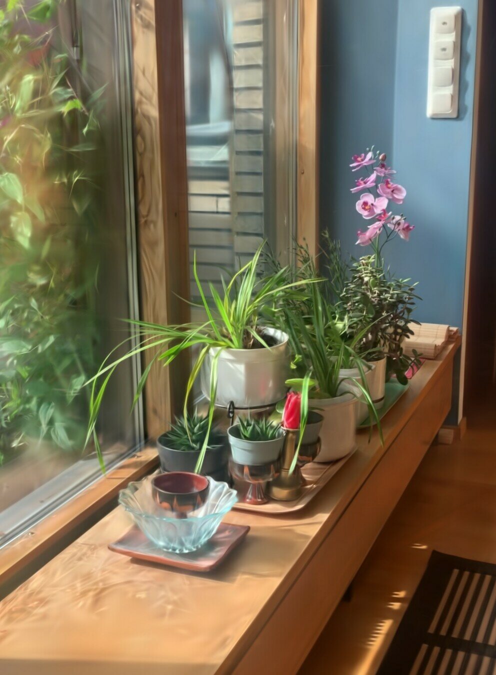
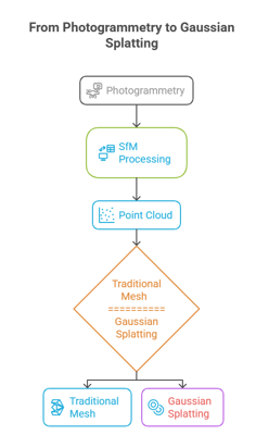
Traditional Photogrammetry Model (SfM)
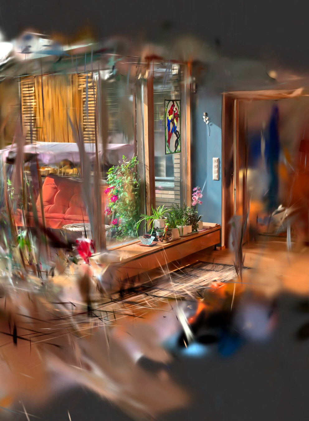
Same model of 3DGS version
What is Gaussian Splatting?
- Concept idea proposed back in 1991 - not able to be developed due to hardware limitation
- SIGGRAPH - Special Interest Group on Computer Graphics and Interactive Techniques (computer graphics and interactive techniques)
"Rendering volumetric data directly without converting into a traditional surface model"
Photogrammetry - Measurement from a photo
SfM (Structure from Motion) techniques that can interpolate 3D models from overlapping images.

Traditional Photogrammetry Model (SfM)
Credit: Olli Huttunen

Mesh based on TIN
Triangulated Irregular Network
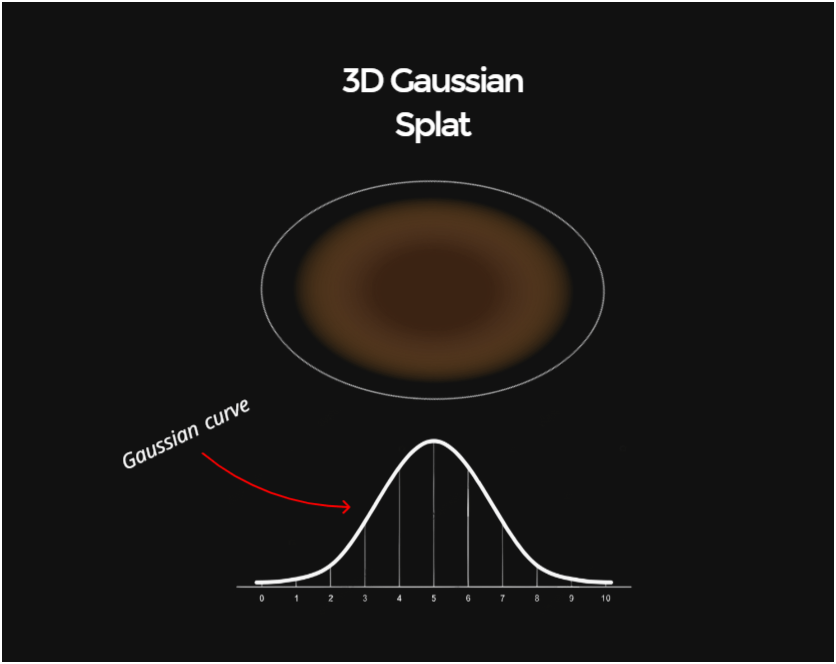
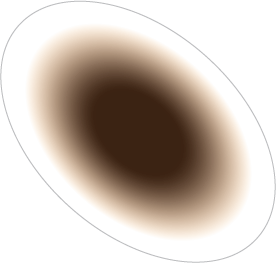
What is Gaussian Splatting?
"Rendering volumetric data directly without converting into a traditional surface model"
What is Gaussian Splatting?
"It uses a mathematical function called the Gaussian, which makes this "continous visualization" in space possible"
Credit: Olli Huttunen
"Spray Point" Approach
3D Gaussian
Splat

Credit: Olli Huttunen
Benefits of Gaussian Models
- Does not use image texture
- Can display reflections
- Can show transparent surfaces
- Good with thin structures
- Photorealistic look
- Great in low light
- Runs in web browser
Credit: Olli Huttunen
Limitations of Gaussian Models
- Covers only the angles that where captured
- Accuracy
- Zooming to details
- No support on major 3D programs
- Conversions to mesh formats
- Lights and shadows are baked
- Big file sizes
Credit: Olli Huttunen
Point Cloud
-
RGB pixel (DIM):
- Dense Image Matching
- Lidar - laser
3D Scanning


Mobile Phone
Drone
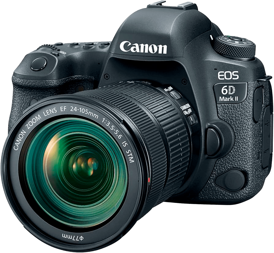
DSLR
360
Photogrammetry method
Credit: Olli Huttunen
2. How do I make it?
How Gaussian Splatting Models Can be Generated?
Web services and mobile apps
Local training on your own Compter


SCANIVERSE
KIRI Engine
3Dpresso

Credit: Olli Huttunen
Example
Workflow
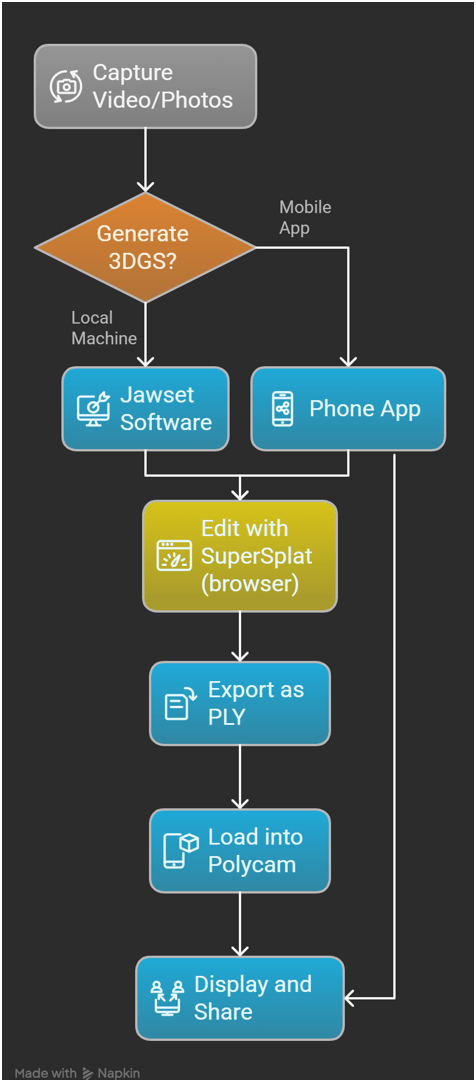
#1 Video -> #2 Polycam (export ply)
#4 Upload back to Polycam and share
3. How do I use it?
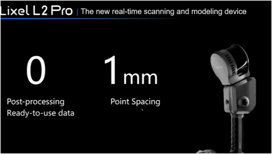
Integration of Lidar with Gaussian Splats
(SLAM) Simultaneous Localization and Mapping
Like drawing a map of a room AND figuring out exactly where you are on it, all at the same time.
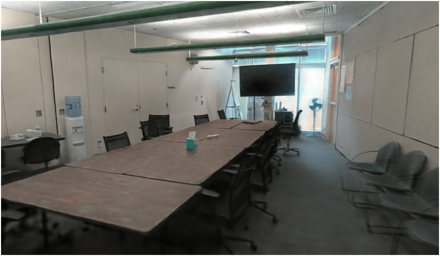
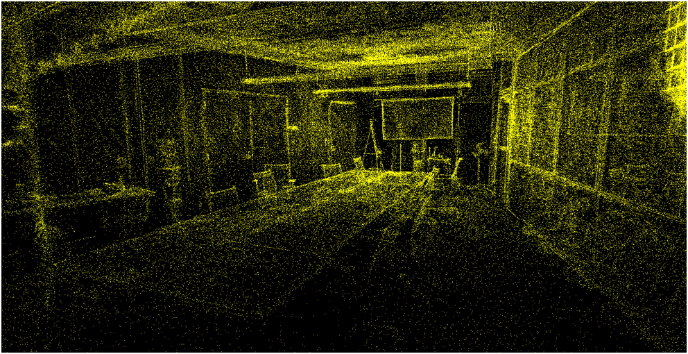
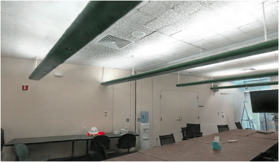
Example
of Gaussian Splat
SLAM Lidar
point cloud behind
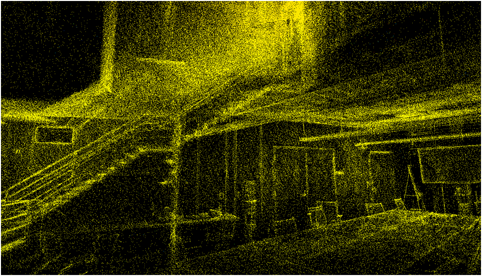
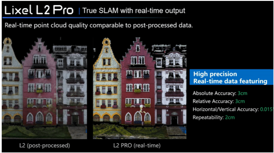
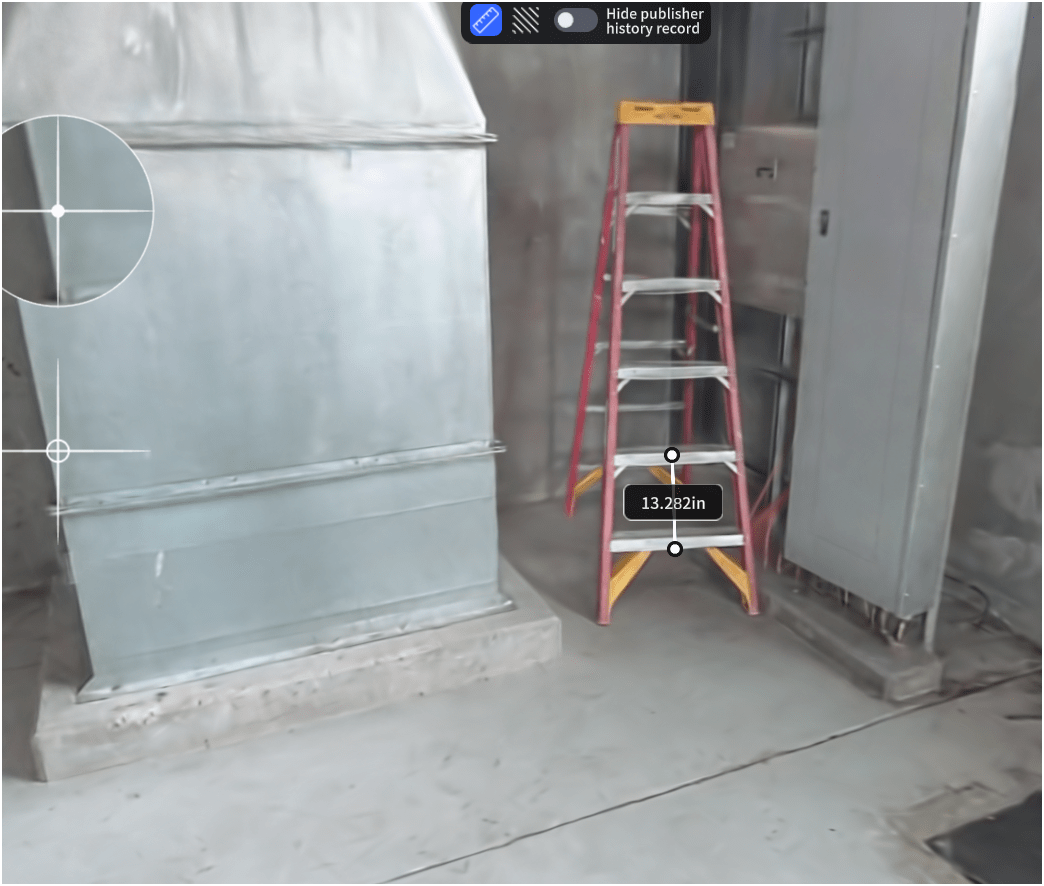
Proof Of Concept
Lidar SLAM Handheld Unit
Video of Scan Path
Proof Of Concept
Lidar SLAM Handheld Unit
Examples
Proof Of Concept
Lidar SLAM Handheld Unit
Examples
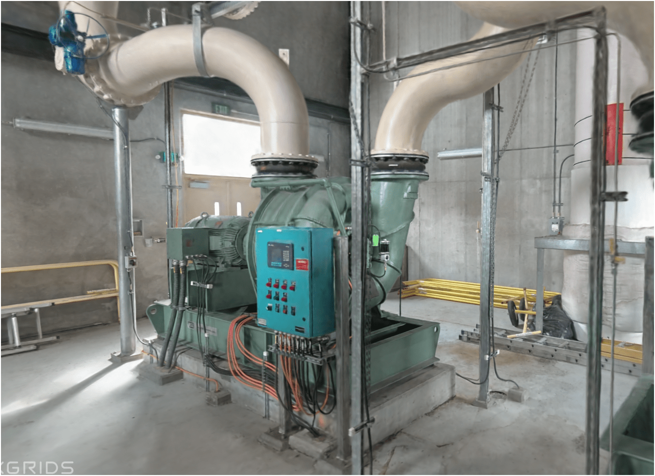
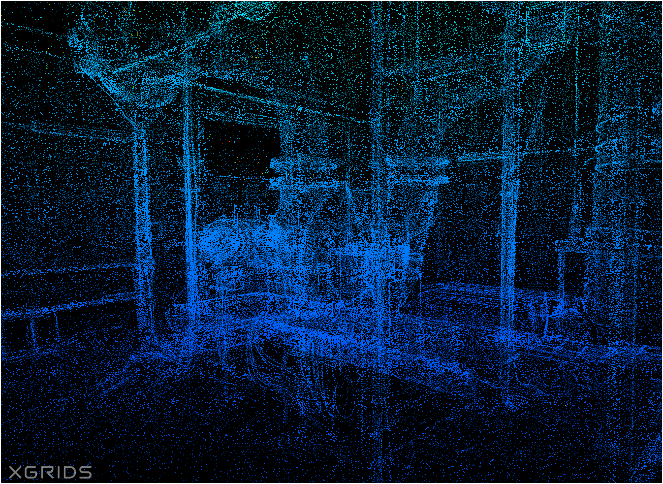
Proof Of Concept
Lidar SLAM Handheld Unit
Examples
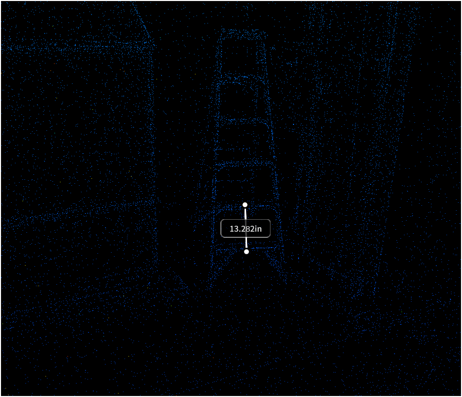

WHOA!


peter.keum@kingcounty.gov
2025 - WAGISA Presenation - 3D Gaussian Splatting
By Peter Keum
2025 - WAGISA Presenation - 3D Gaussian Splatting
Presentation to share about 3DGS, SLAM Lidar, 3D models from Drone data.


