


MAPC PRO
Metropolitan Area Planning Council is a regional planning agency promoting smart growth and regional collaboration for the Metro Boston area.
A Presentation for MARPA
1/21/2022
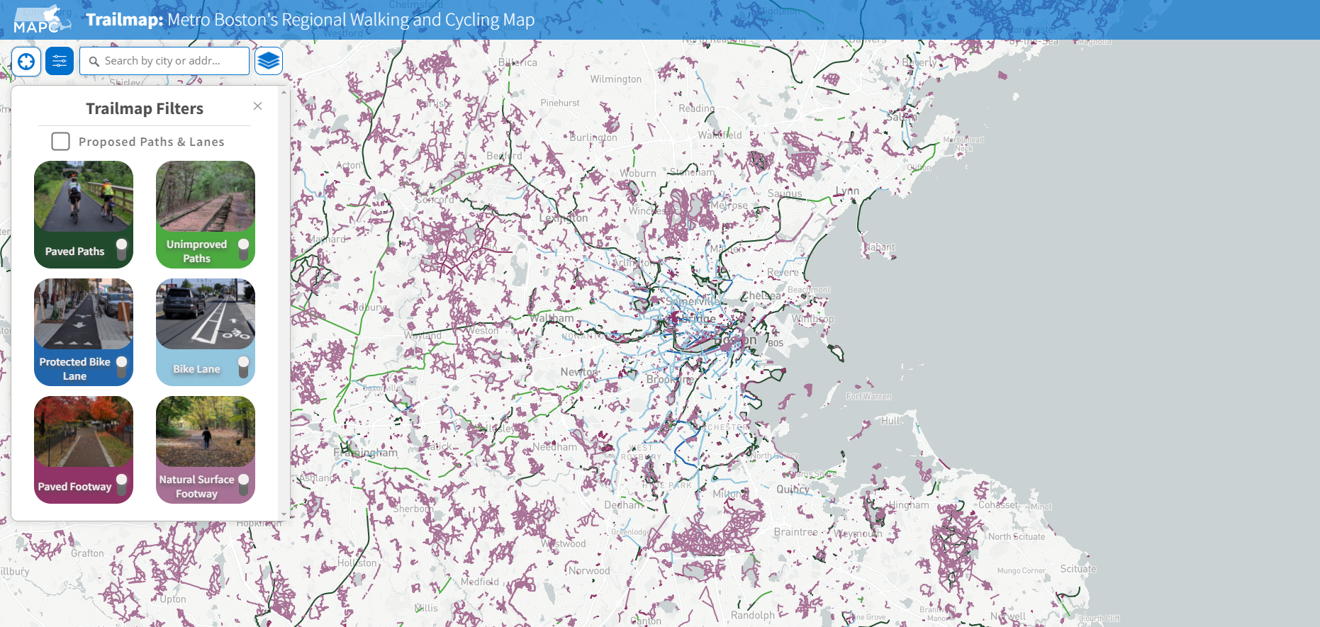
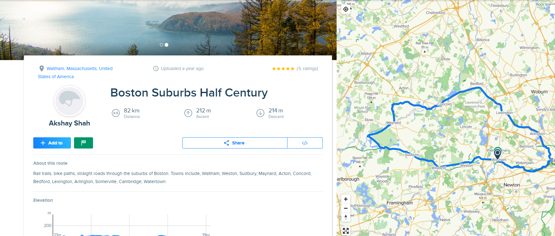
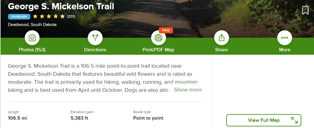
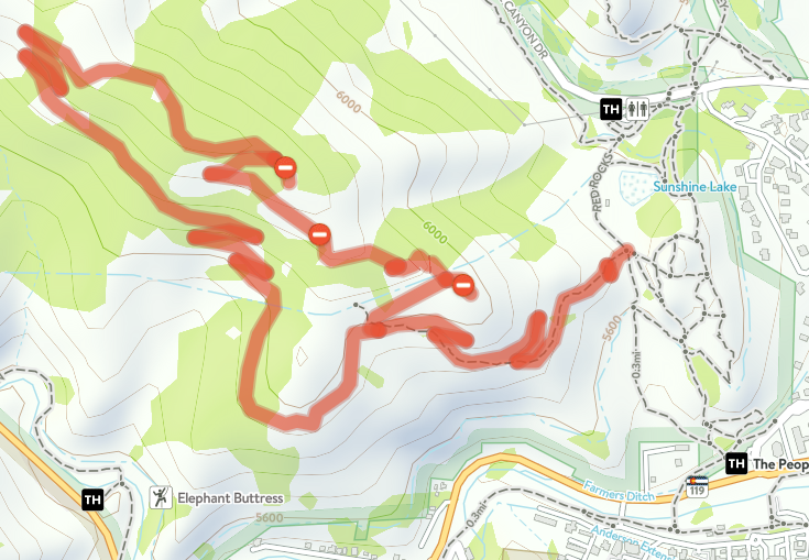
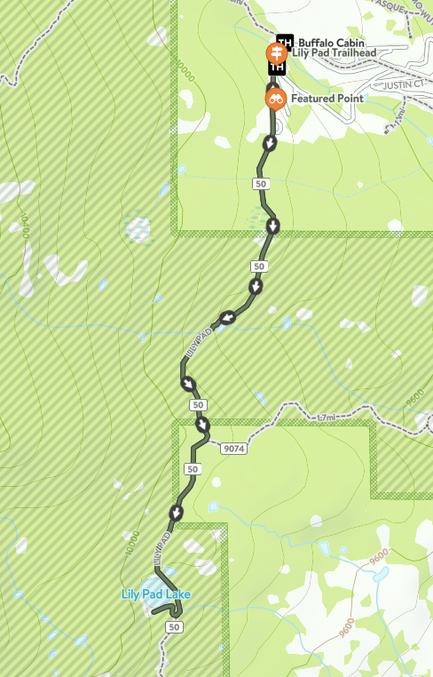
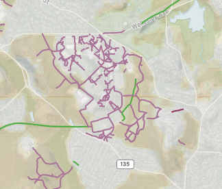
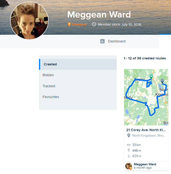
Trailmap is MAPC's dataset of current and proposed footpaths, shared-use paths, and on-road bicycle facilities; and the website where that dataset is published for public use. Development of has been funded through UPWP and foundation funding.
trailmap.mapc.org
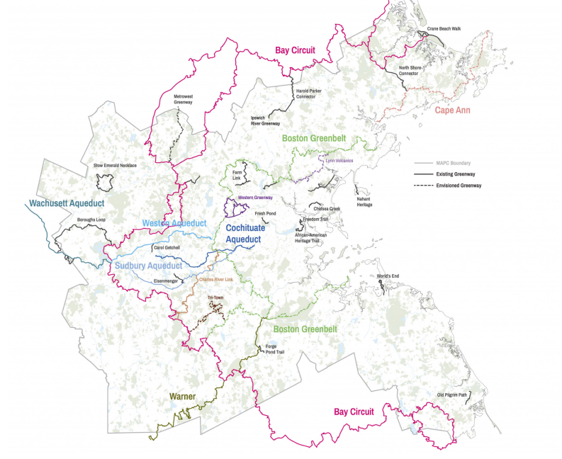
All Massachusetts RPAs manage their own datasets of trails and facilities in their region. A statewide compilation of these datasets has been a long-running goal.
Maintaining this data can be laborious and expensive, especially when we have to recreate data that already exists but is unavailable (e.g. land trust or municipal data.)
RPAs have previously discussed data standards, but have not been formalized. Technical infrastructure and protocols for merging and updating datasets has not yet been developed.
MassDOT maintains roadway inventory of which includes bike lanes on roads, and shared use paths; however their purview does not extend to off-road natural surface trails or urban parks
MassGIS publishes data relevant to trail mapping, but has not been funded to develop statewide trail data.
Conine Family Foundation approached MAPC to offer us funding to improve the Trailmap website experience. MAPC has since meet with other states to learn about their trail management models and websites.
DCR Rec Trails Program encouraged MAPC to coordinate an application to support a statewide trail database. Program had been hesitant to fund individual RPAs and indicated a preference for a coordinated effort
Fall 2021
Dec 2021
Jan 2022
MAPC convened meeting with GIS and Planning staff from other RPAs to discuss the opportunity of a statewide effort and application to DCR for funding.
RPA involvement will require staff resources. DCR Trails grant can be shared with the other RPAs to support their role in this effort. Is this of interest?
Various governance & management options are available for a shared data infrastructure and dataset, ranging from an "advisory committee" option to a more formal consortium structure with shared investments. What works best for RPAs?
If there are concerns about MAPC having a leading role in data management, what other alternatives should be on the table?
What level of effort are RPAs willing to put in to data updates and management going forward?
With foundation funding secured for 2022-24,
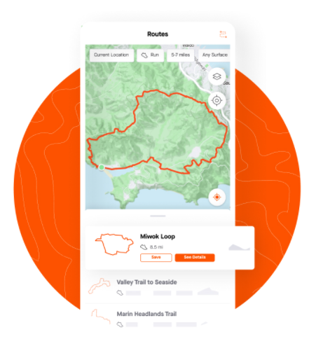
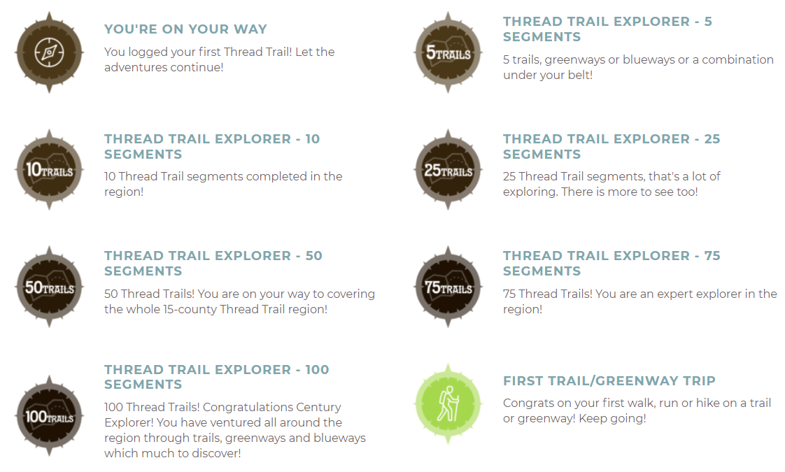
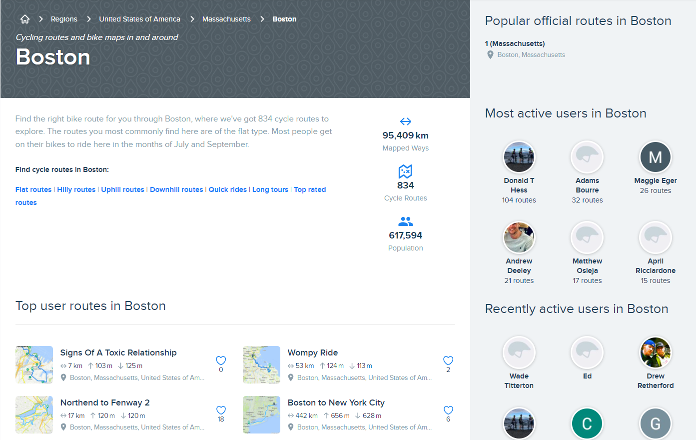
MAPC plans to upgrade site features
Provide more than trail location data. Interfaces that allow for users to connect with trail activities, trail managers, planning and related events.
Help connect partners, provide more information about trails and paths to empower their expansion.
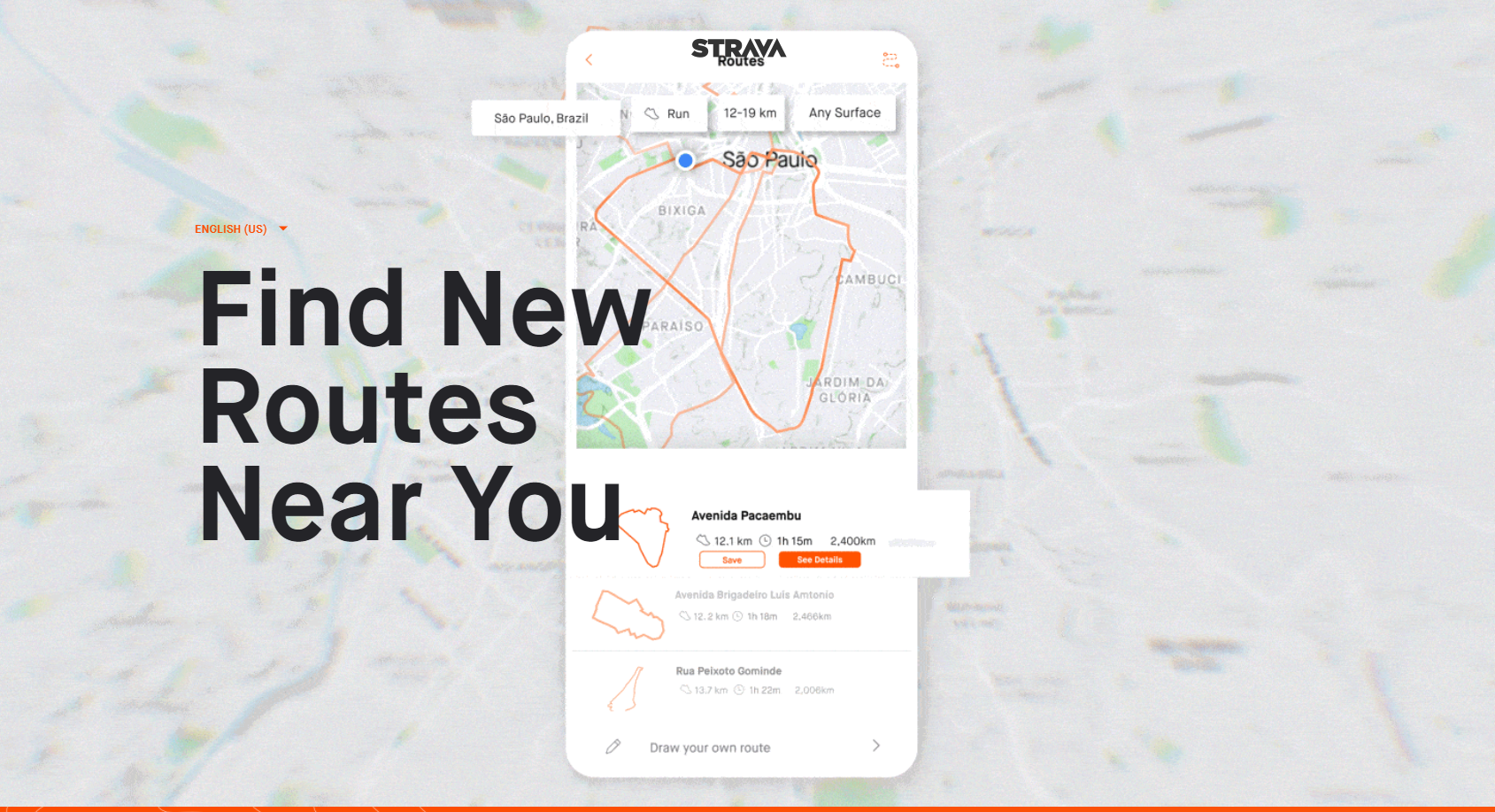
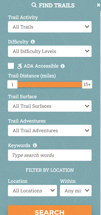
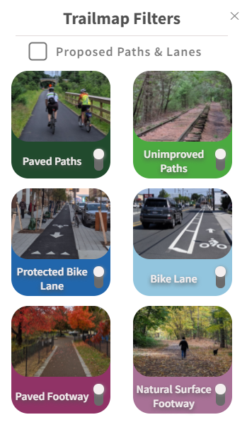
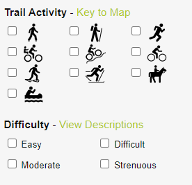
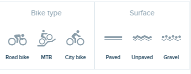
Provide ability to find trails and paths by desired activity or difficulty.
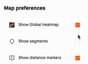
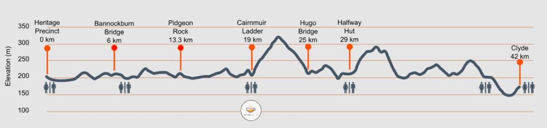
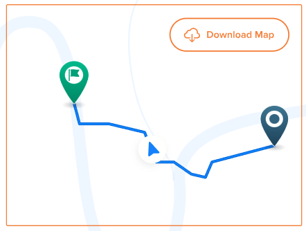
Improve visualization and interactivity of map
Enable an interactive experience for users to track, save, comment, and suggest.
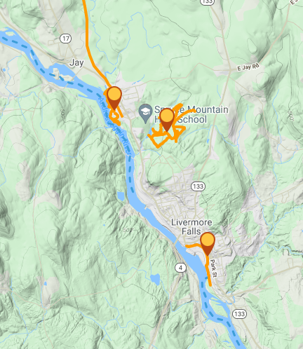
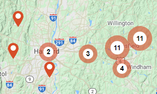
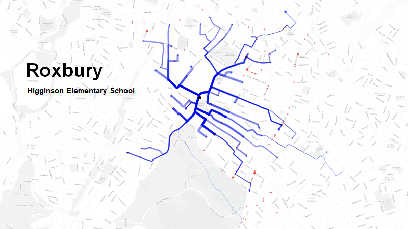
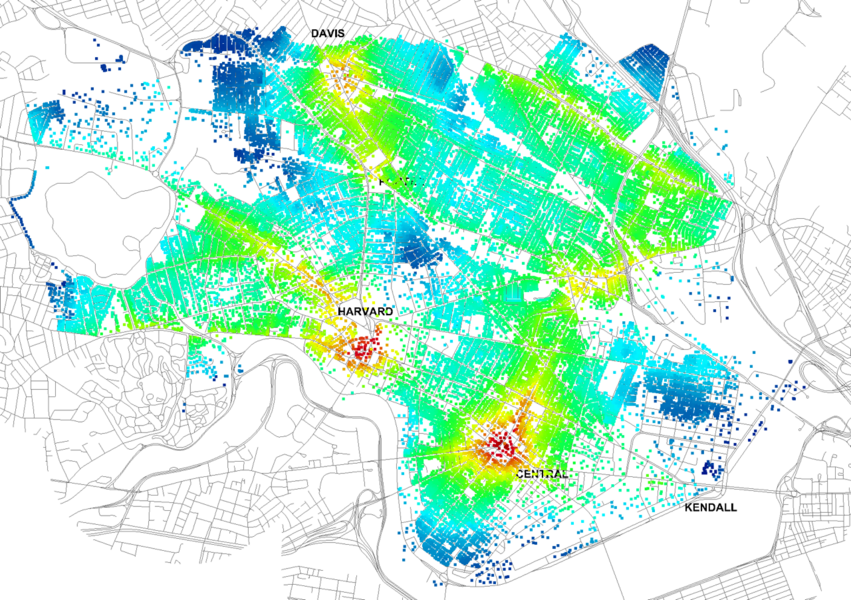
Blue = Predicted route to school bike/walk commutes
School Commute Infrastructure Planning
Comprehensive Plans
Enable the data to be used in planning and advocacy work.
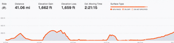
Network Analyisis
If open, standard, and available, additional parties can leverage the data to reach the residents and help them plan outdoor trips and activities
All of these features rely on an underlying infrastructure of people, process, & data.
We believe together we can make a better and more sustainable process.
Together we can solve how we manage a community, standardize data, and enable different features of uses.
Dataset
Standards and open availability will help the dataset grow. Leveraging tools that help lower maintenance cost and broaden the community.
No one site will have all features for all users, we can prioritize the needs of users and add features to an application that meet those needs.
Features
Community
Like a houseplant, for a web service to survive it needs to be cared for.
RPAs can together identify the organizational structure that works best for us all to achieve a comprehensive and up-to-date dataset while sharing and minimizing overall maintenance efforts.
The forthcoming Department of Conservation and Recreation funding provides us an opportunity to work together to solve these challenges.
Building on the work all RPAs havealready done to date.
Features
Dataset
Community
Features
Dataset
Community
web services survive when cared for
it's all about the data
There are many improvements to Trailmap, that could help make progress towards achieving the application's goals
Standards and availability will help dataset grow
Like a houseplant to survive it needs to be watered, in this case, we in GIS data (Regional planning?) world can share that responsibility and keep dynamic
While no site will have all features for all users, we can prioritize needs of users and add features to Trailmap that meet those needs.
No site will have all features for all users, we can prioritize the needs of users and add features to an application that meet those needs.
Standards and open availability will help the dataset grow. Leveraging tools that help lower maintenance cost and broaden the community.
Like a houseplant to survive it needs to be watered. Regional Planning Agencies together can play a critical role in achieving a comprehensive and up-to-date dataset
Features
Features
By MAPC
MARPA Presentation on Trailmap1/21/2022


