Portable

OpenStreetMap
https://github.com/AmericanRedCross/posm
http://theoutpost.io/posm/

Putting the World's Vulnerable People on the Map

OpenMapKit




Intel NUC
~$300 & 12W

You connect to a Wifi HOT Spot.
The POSM is your local intranet.

Running a local OpenStreetMap!

You can edit data as you normally would in iD or JOSM

You just set your
OSM Server URL
to POSM
in JOSM.
We are tapping into the OpenStreetMap ecosystem...
( 100% Open Source Software )
openstreetmap-website
CGImap
Tessera
Mapnik
PostGIS
Overpass API
Field Papers
HOT Export Tool
OpenDroneMap
OpenMapKit
OpenDataKit
SimpleODK
osmosis
osmconvert, osmfilter
osm2pgsql
Workflow

OpenMapKit
OpenMapKit Android
- ODK Collect companion app
- map & tag editor
- raster PNG tile basemap
- MBTiles offline
- HTTP online
- custom vector OSM overlays
- tag key and value interface declared in ODK survey
- raster PNG tile basemap
- parses & writes JOSM OSM XML
- writes JOSM OSM XML to ODK directory
- communicates with ODK Collect via intents (IPC)


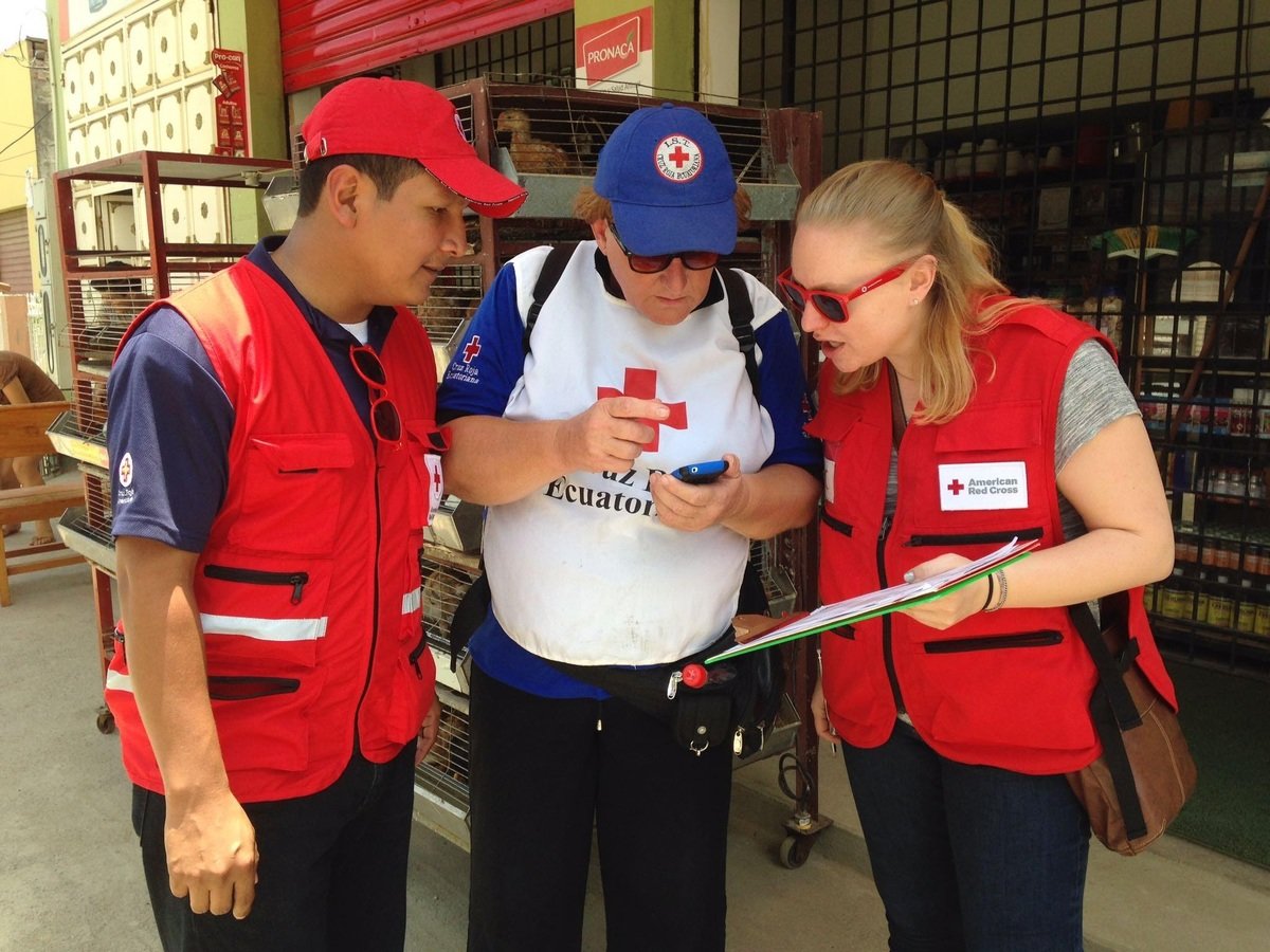
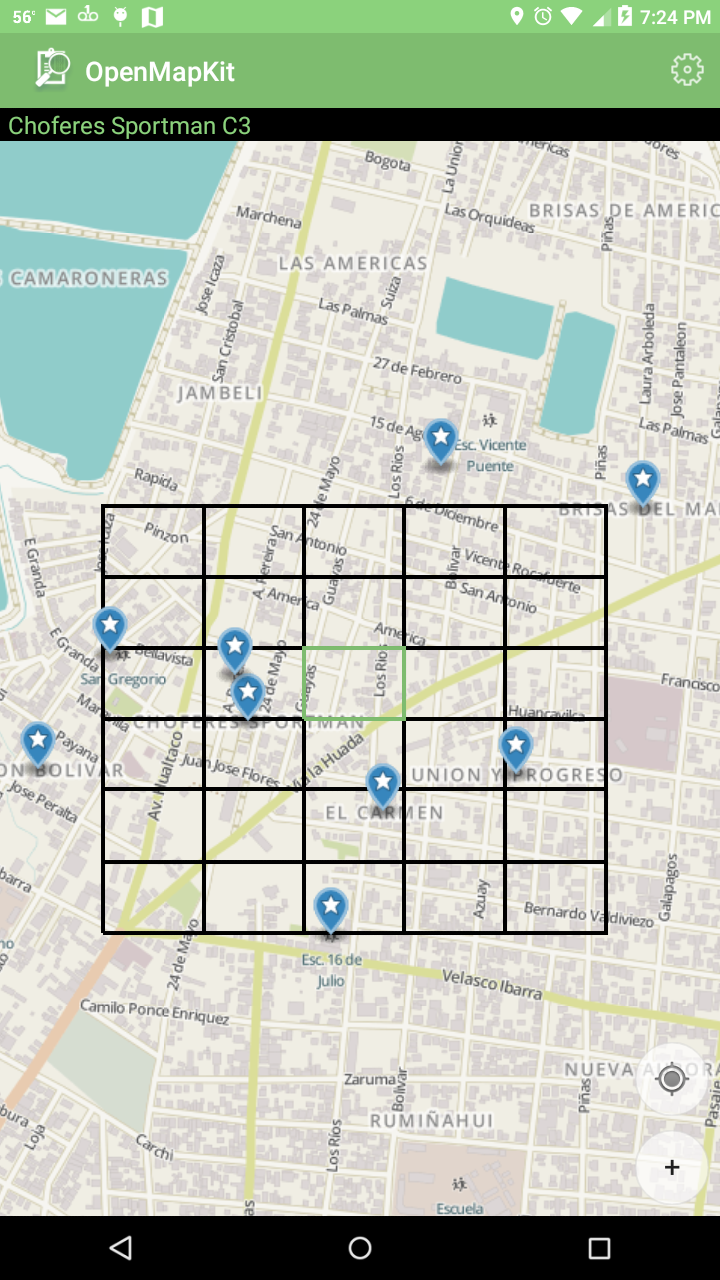
We load a fleet of Android phones with OpenMapKit and ODK Collect.

ODK Collect
+
OpenMapKit
Android
We deploy survey forms to
ODK Collect
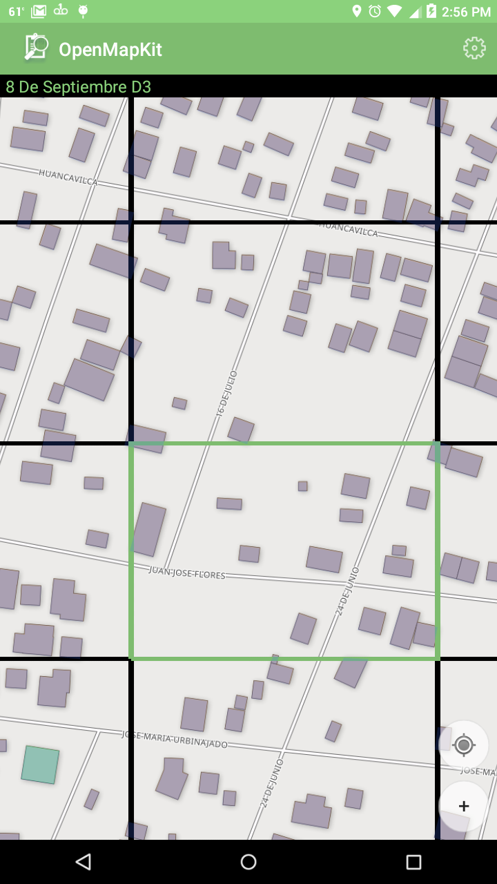
...and map data to OpenMapKit.

Map Data
- MBTiles
- OSM XML

ODK Collect
- OpenMapKit is an ODK Collect Plugin.
- Created an ODK Collect OpenStreetMap Question.
- Launches into OpenMapKit to edit and gather tag information.


Select a
building.
(buildings already tagged)


Or you can add a POI.
- shop
- amenity
- leisure
- etc.

You'll see the tags,
and when you
click on one...

You can
edit it!

You edit is actually a JOSM OSM XML edit.
It gets sent up to OpenMapKit Server as a standard ODK survey response.
Server

OpenMapKit
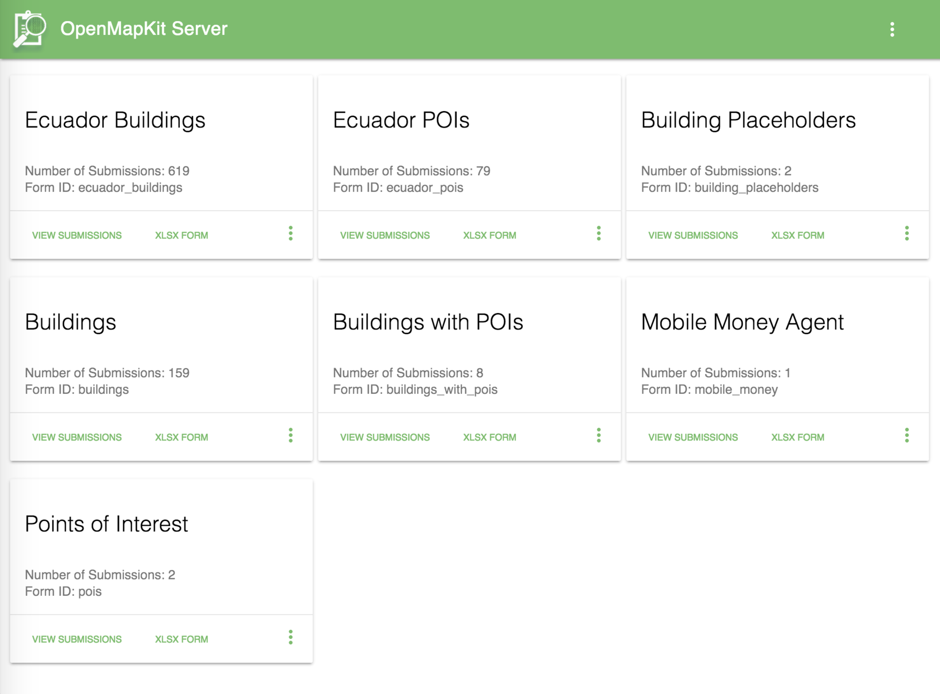
It's a standard ODK Aggregate server that
uses the file system as a backend.
It runs well on the POSM and small embedded systems.
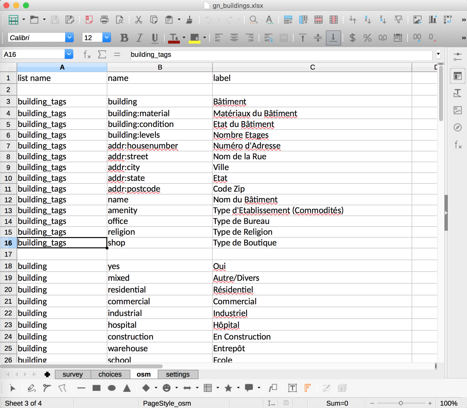
Forms are defined in an XLSX spreadsheet.
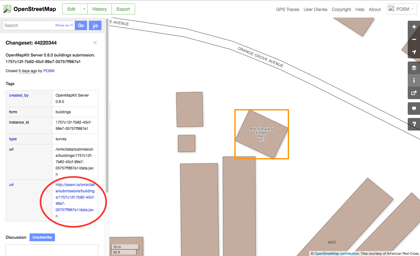
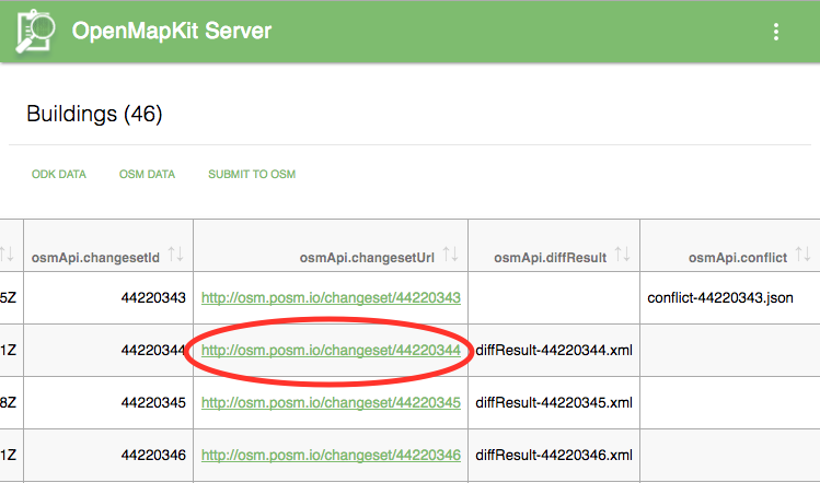
Private data is stored in OpenMapKit Server...
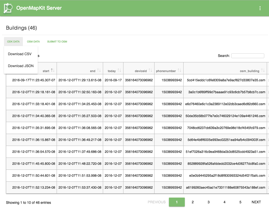
...and public data goes to OSM.


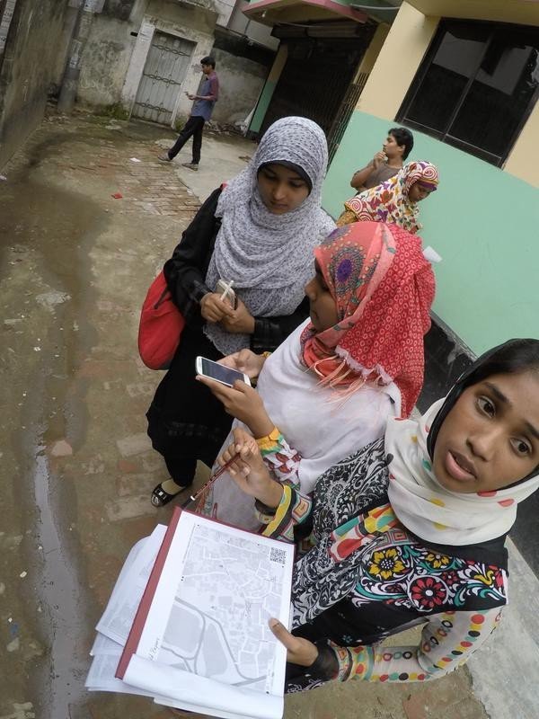
Field Papers are great when technology fails.
- Bright sunlight.
- Non-existent feature.
- Phone is dead or stolen.
- The wrong data got deployed.
- Volunteers are not tech savvy.
- Your developer isn't there to troubleshoot...


Maybe our survey did not include metadata
for tagging a shrimp farm...
landuse=aquaculture
aquaculture=shrimp
Regardless, when you are walking around,
you'll notice many things that merit taking notes...

However, they are usually paired together.
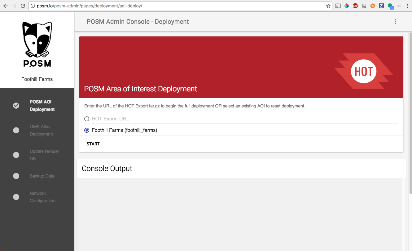
POSM Admin
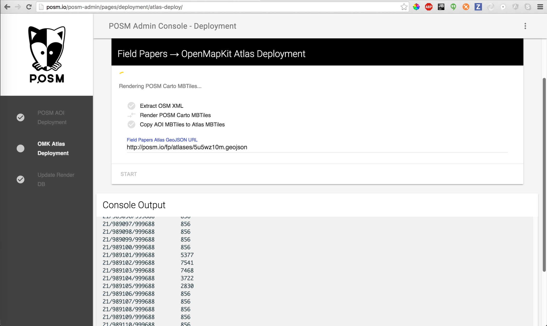
OpenMapKit Atlas Deployment
Backup data
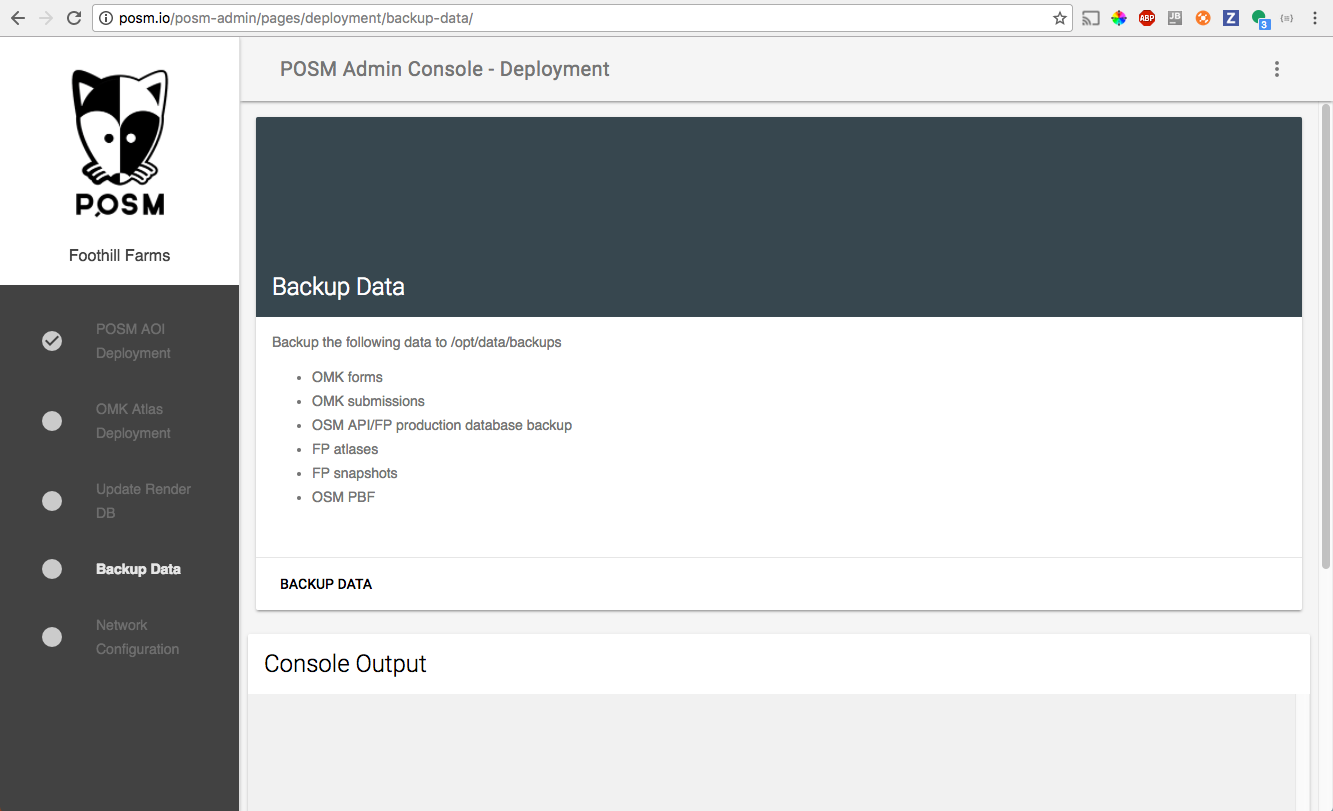
Change Network Config
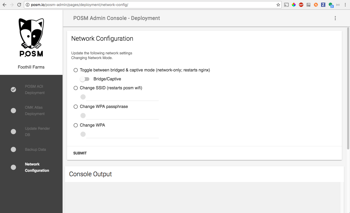
NodeJS Web Application executing a suite of bash scripts...
OSM Data Ecosystem
Sure, the goal here is to edit OpenStreetMap offline...
But, what if we used OSM tools, formats, and schema to edit other data?
Data that came from other places...
Data with a different license?
We believe that there is potential in OpenStreetMap beyond the data.
Easy to render...
- Most Mapnik vector and raster tile services are styled with OSM structured data
- plug-n-play map styles from osm2pgsql structure
- Mapnik XML
- CartoCSS
- plug-n-play map styles from osm2pgsql structure
- Modern map renderers such as Tangram and Mapbox GL have have a wealth of styles for rendering these vector tiles OpenGL maps.
Schema is consistent regardless of the data.
- tagging may be irregular for features
- overall structure of nodes, ways, relations, and tags stays the same
- But, free tagging comes at a price...
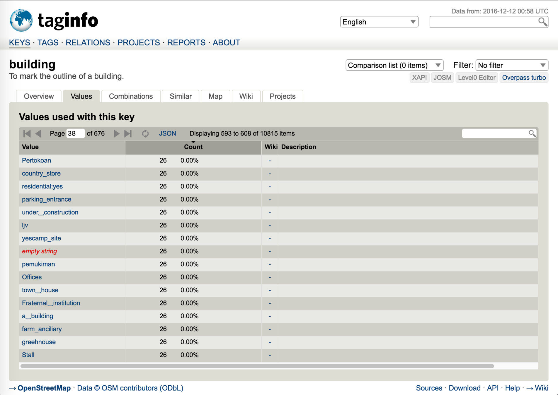
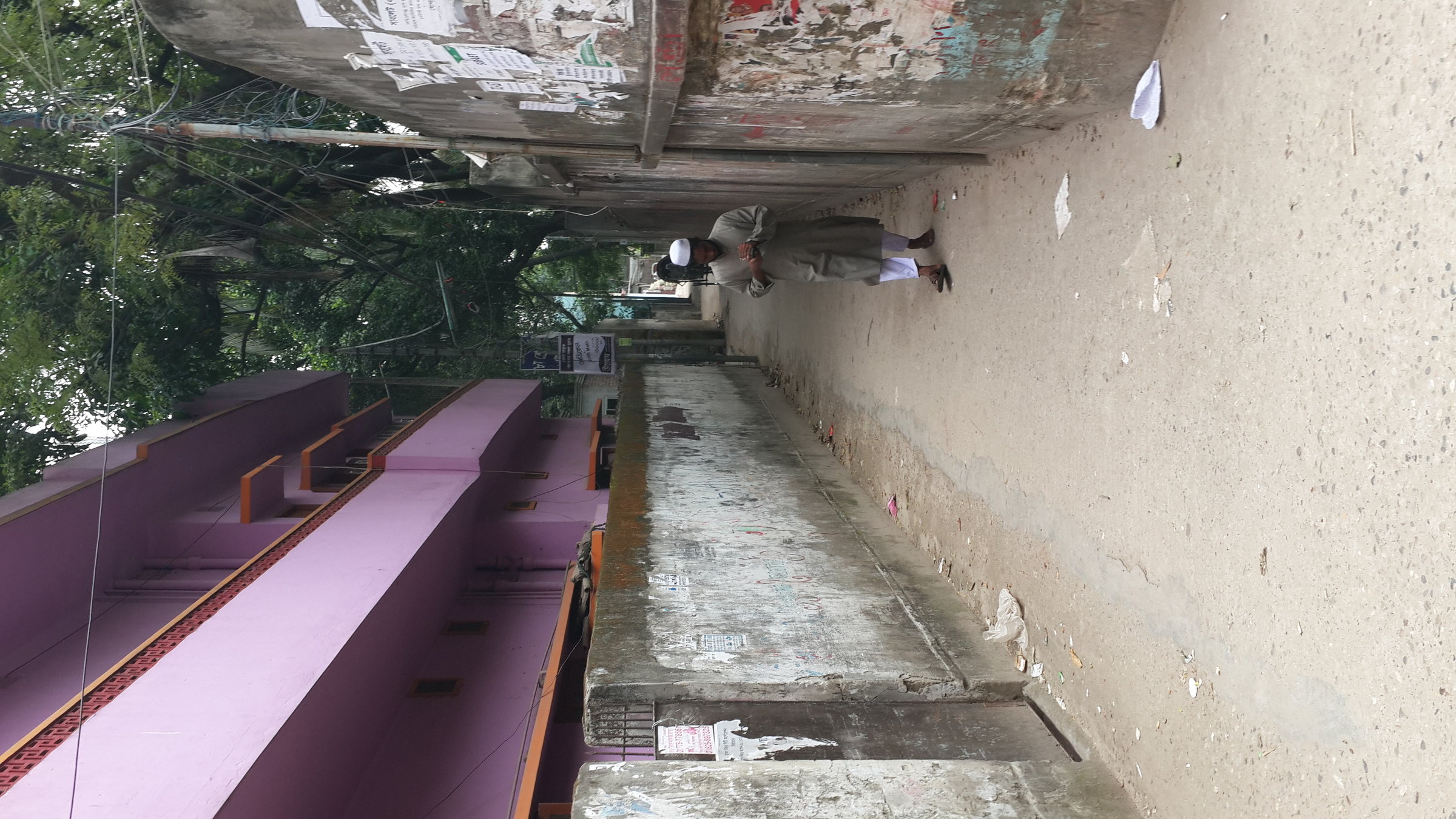
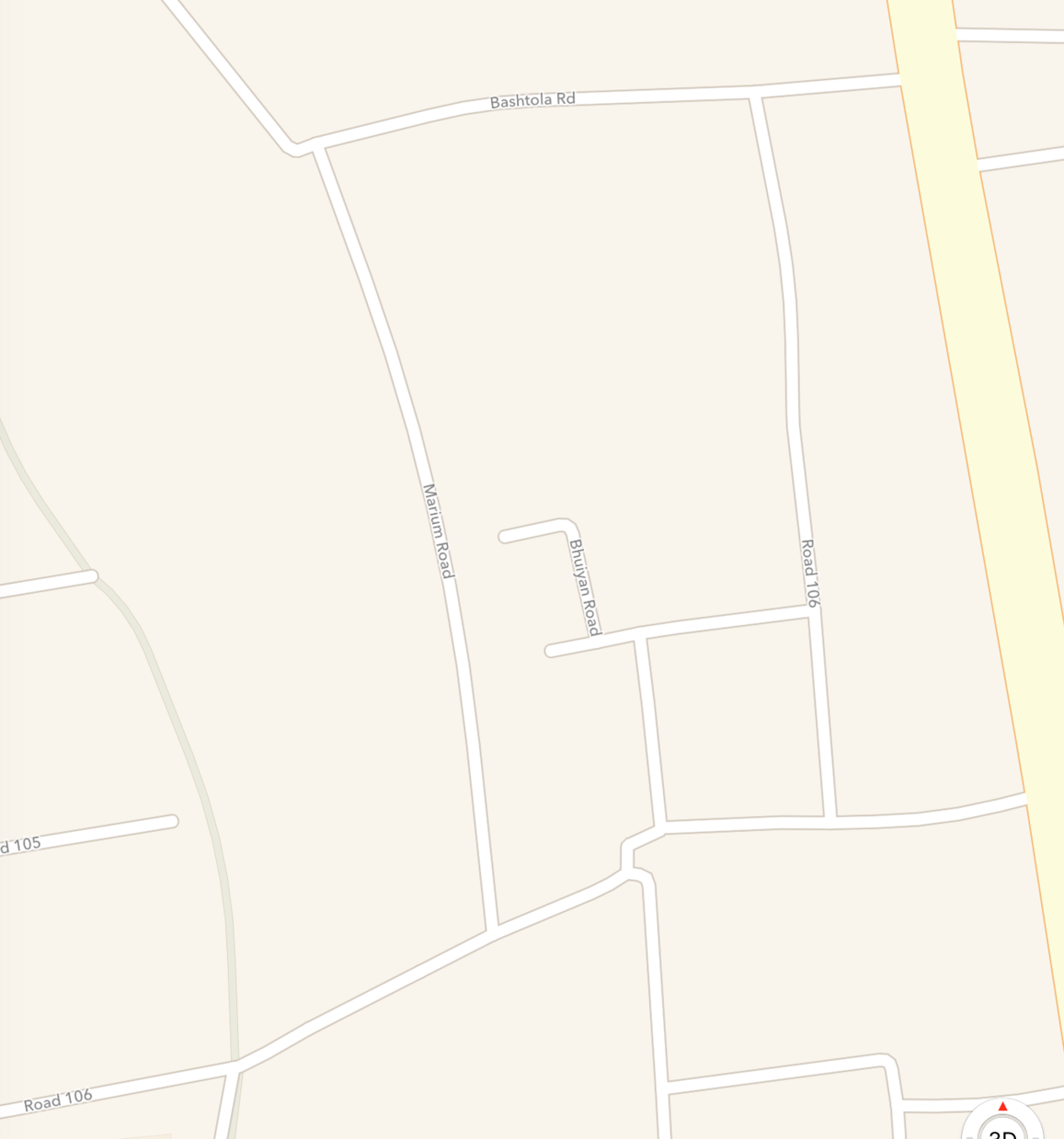
Dhaka, Bangladesh
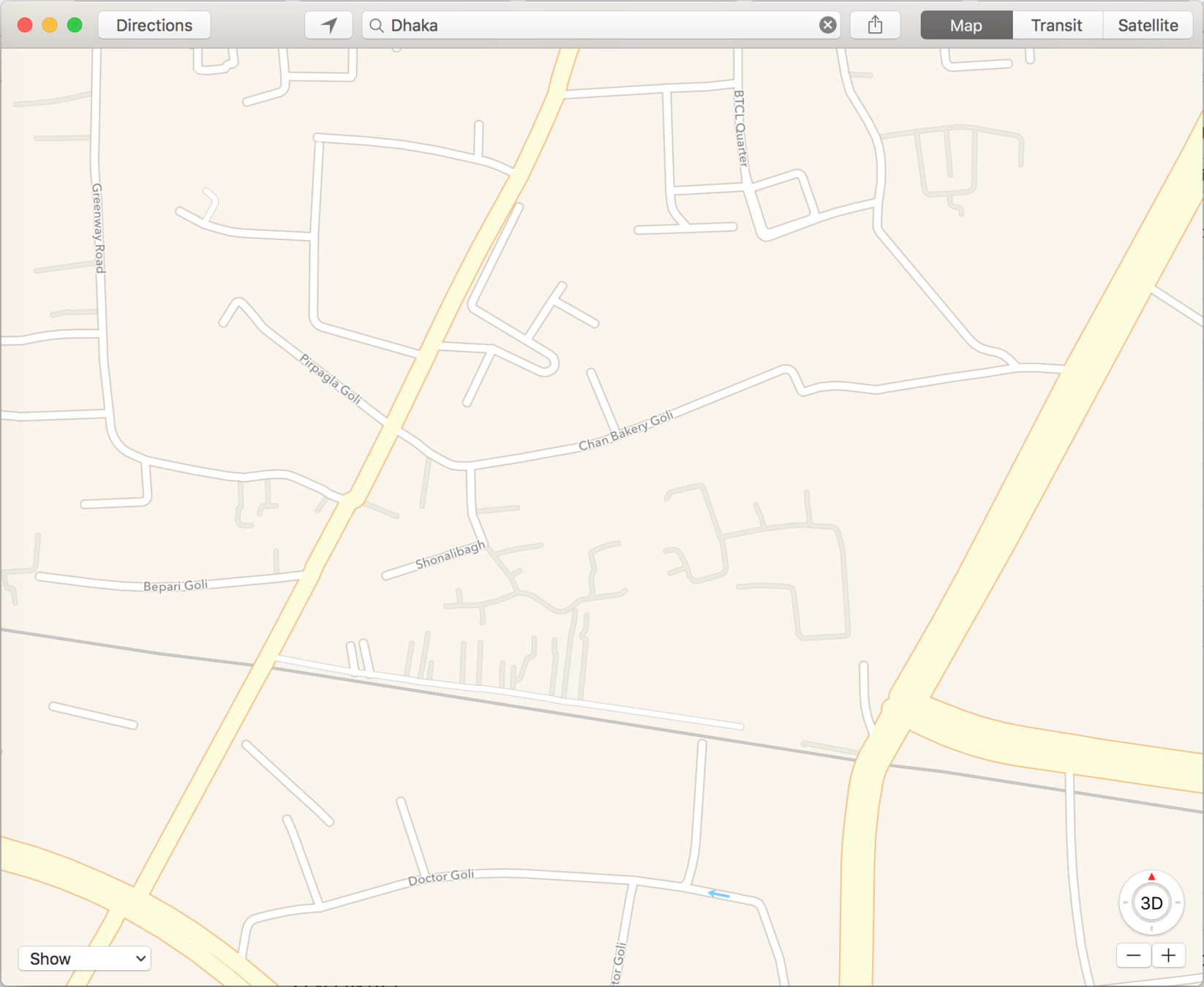
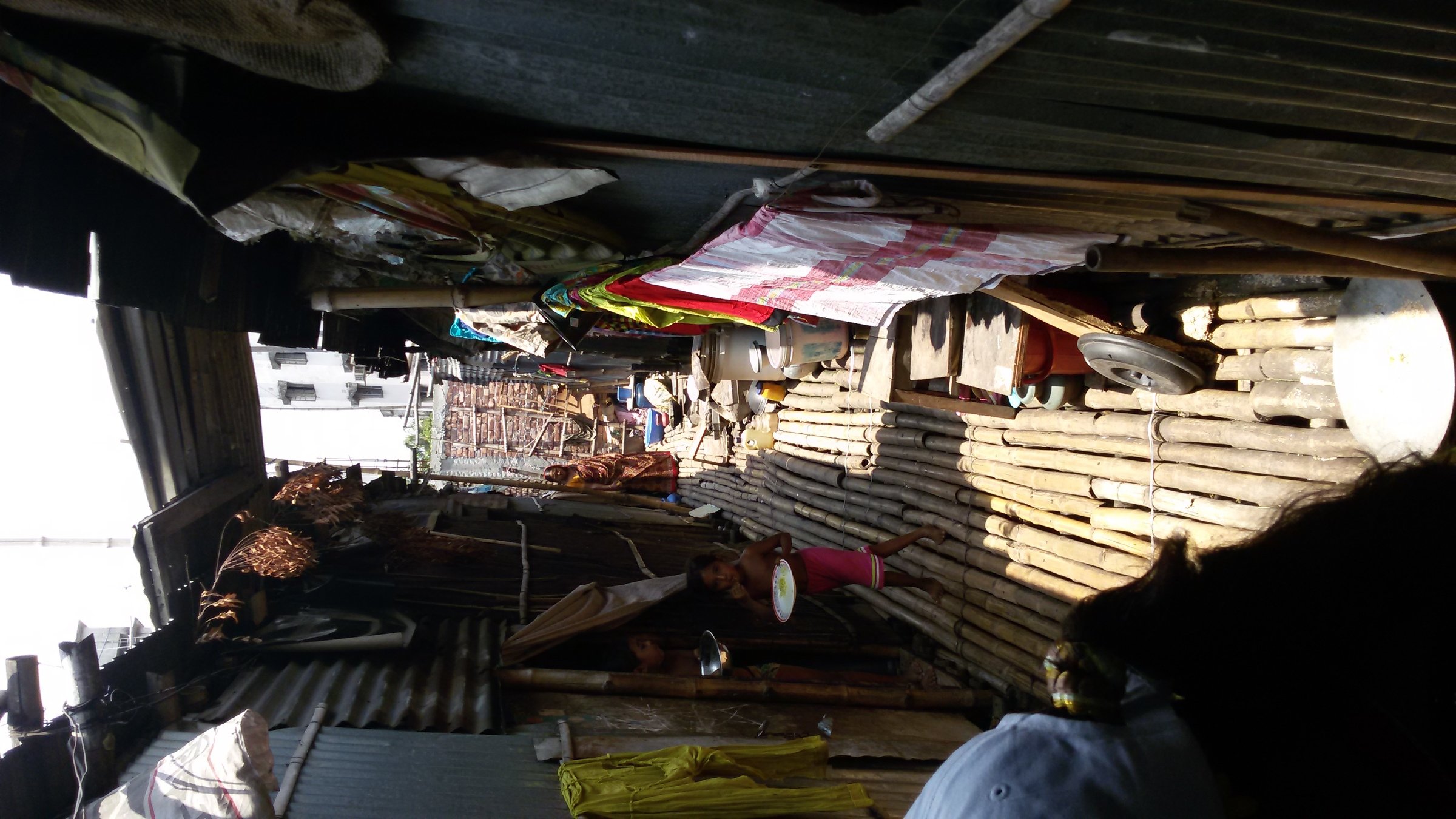
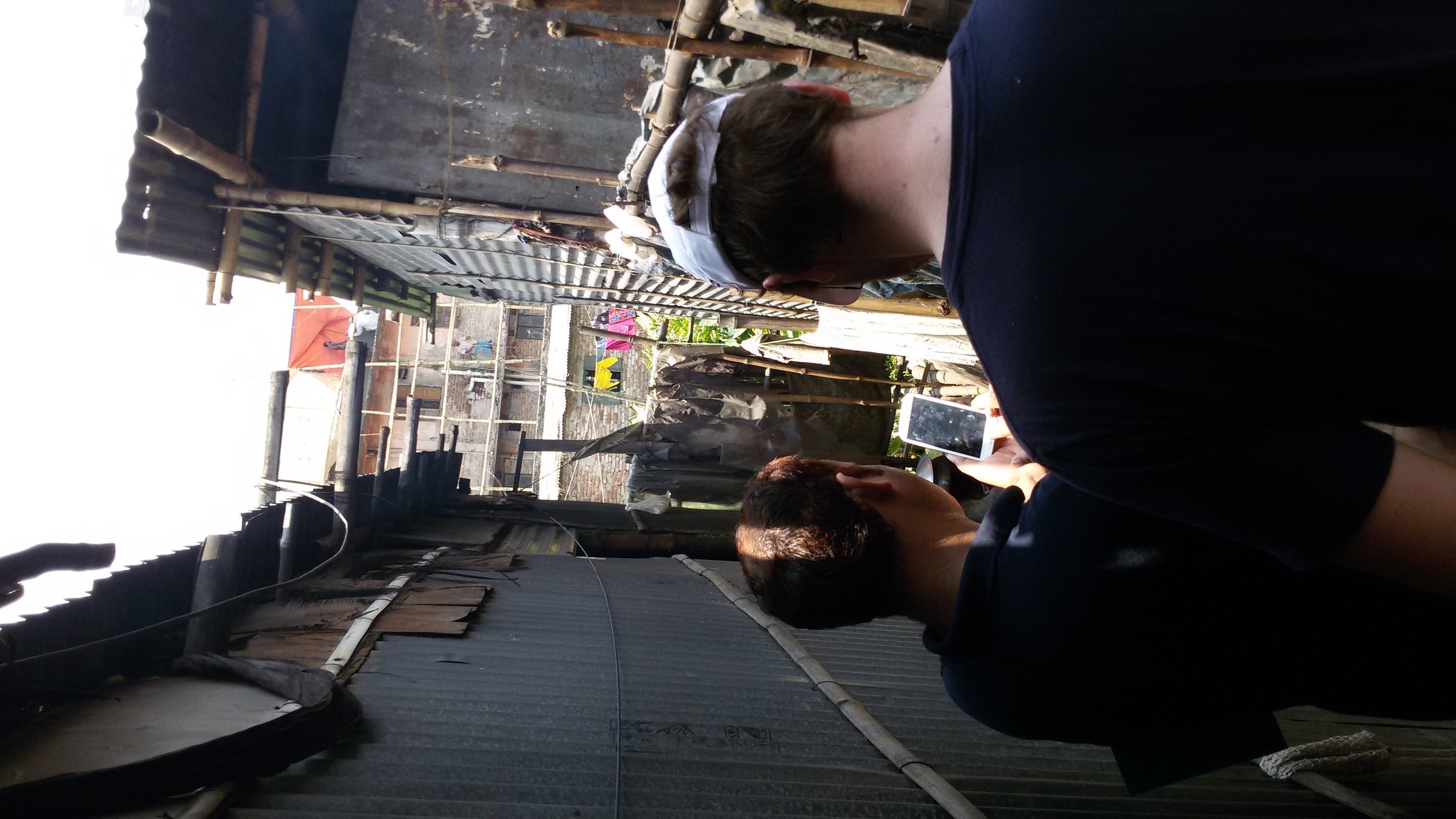
highway=footway surface=bamboo
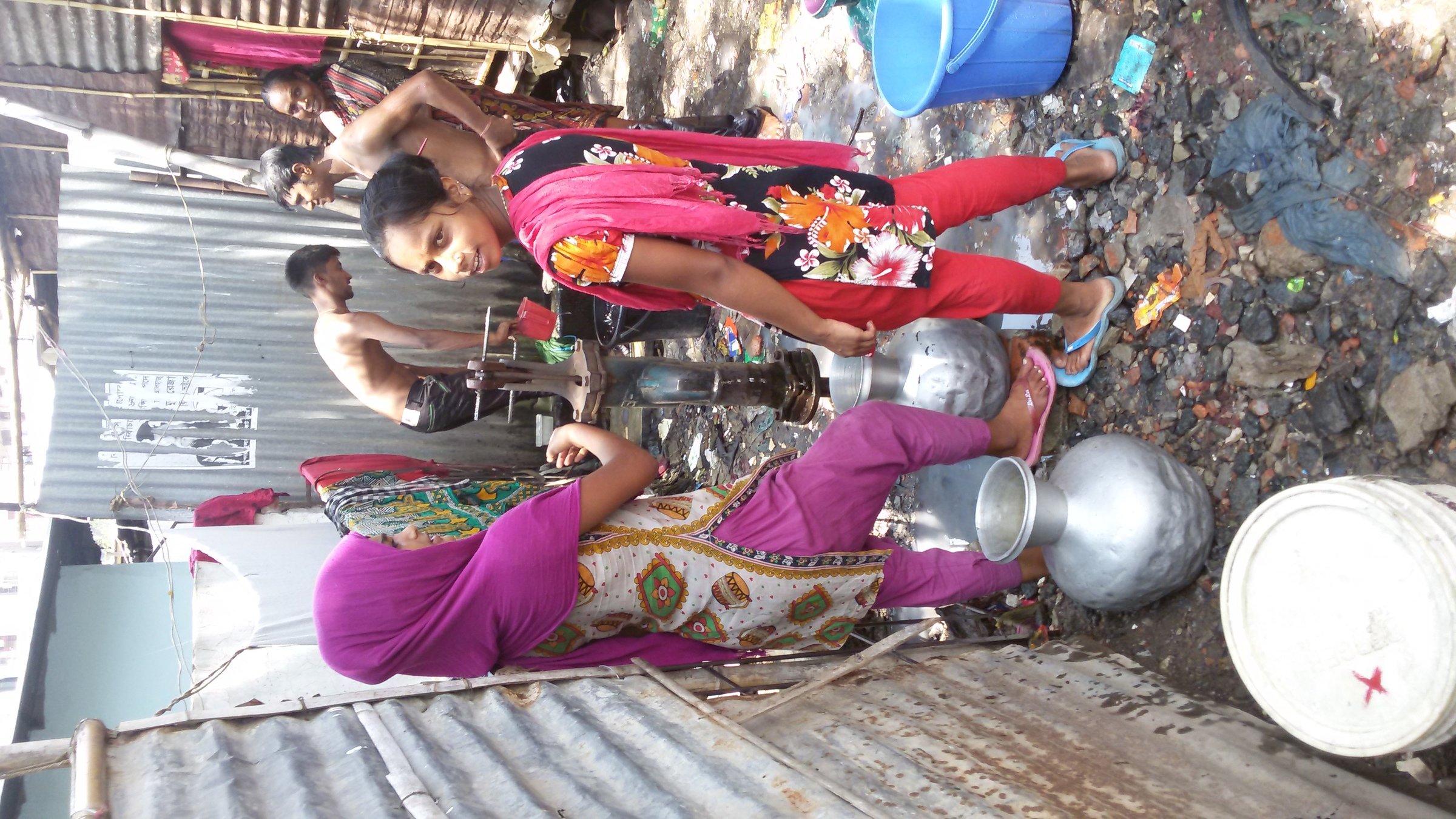
amenity=drinking_water
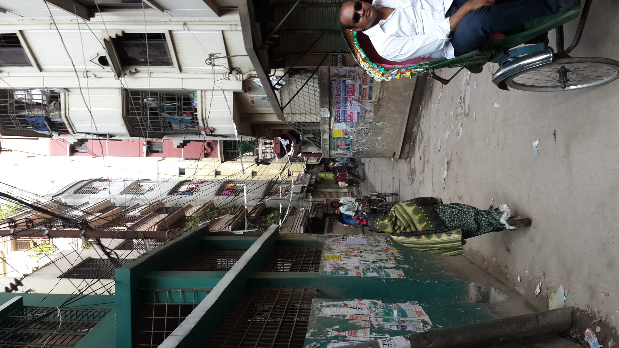
Road 106
highway=residential
Thank you.
POSM
By Nicholas Hallahan
POSM
Portable OpenStreetMap Presentation
- 1,196


