Case Study: Developing OpenLayers-based Mobile Applications
September 2014 • FOSS4G 2014
Who are we?
Syrus Mesdaghi
Technical Lead
@garnertb
Tyler Garner
Web Developer and Geospatial Analyst
@syrusm
What will we cover?
- Arbiter CrossPlatform
- Arbiter-Android
- Pushpin OSM CrossPlatform
Our Experience Developing:
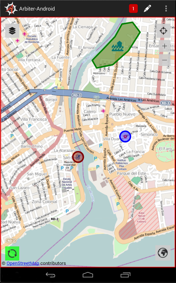
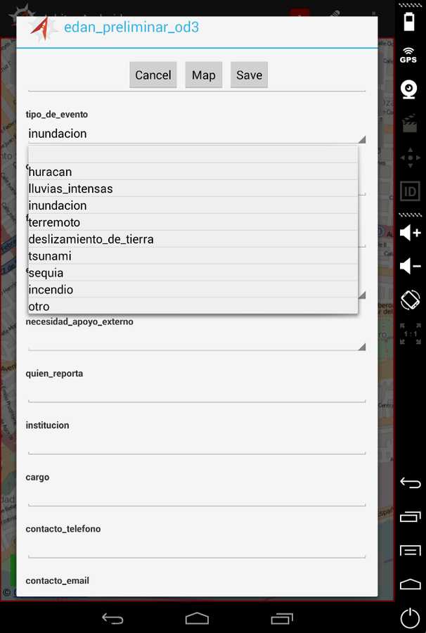
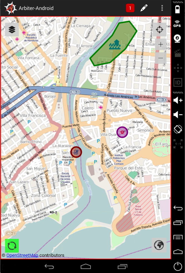
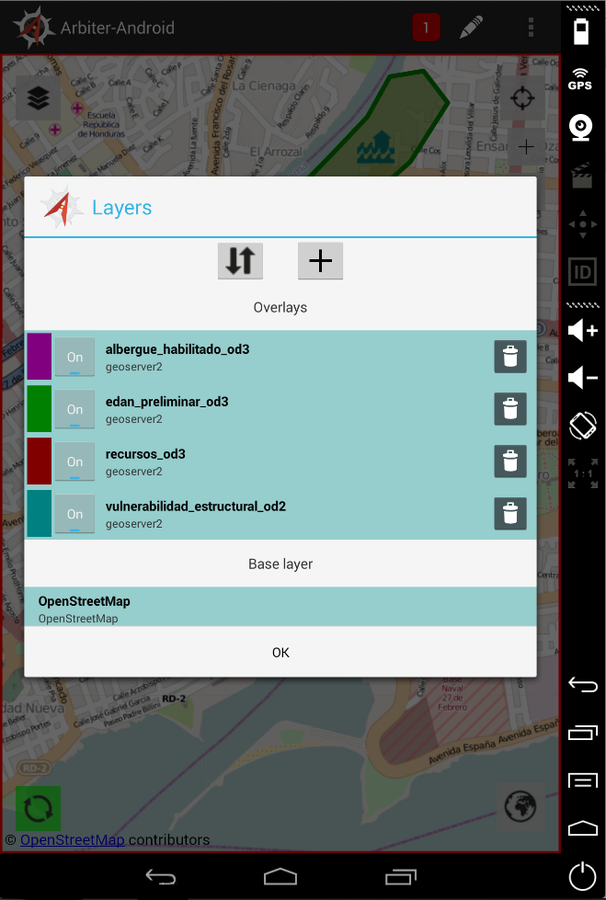
This is Arbiter
an open source mobile application for collecting data in disconnected environments
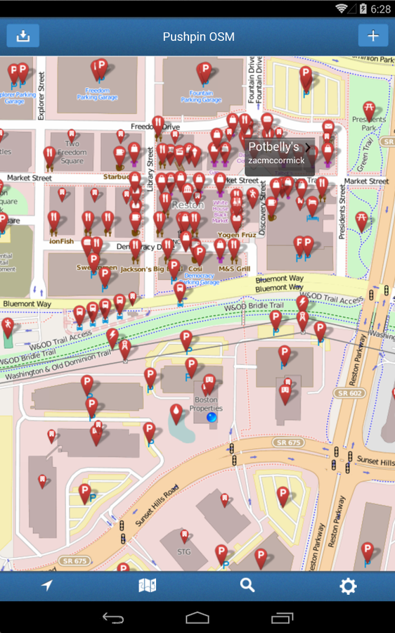
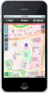
This is PushPin (Android)
It's designed for contributing points of interest to OSM
Arbiter Developed Under ROGUE Project
- Part of a set of capabilities known as GeoSHAPE
- www.geoshape.org
- github.com/ROGUE-JCTD/Arbiter-Android
- Goal: streamline collaboration on geospatial data between distributed partners
- Since 'partners' can include different government agencies, organizations, volunteer groups
- GeoSHAPE has to be free and open source
- Easy to deploy
- Each partner will have their own instance of GeoSHAPE
- Can edit and synchronize with other instances
- Funded/developed GeoGit (GeoGig)
- Fully operational in disconnected mode
- Can edit and synchronize with other instances
- Arbiter is GeoSHAPE's mobile client for data collection

- View, Create, Edit Vector Data
- Focuses on disconnected environments
- We also have videos at https://www.youtube.com/watch?v=Ew_yBQ0nZEM
Arbiter Demo
Why Area of Interest?
- When operating without network connectivity, we need to cache all the tiles and vector data in the area of interest
- Network availability can be a problem
- Remote areas
- Networks are overwhelmed or damaged in disaster scenarios
Arbiter Demo
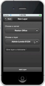
The WorkFlow
-
Create a project for a particular effort
-
Specify Area of Interest
-
Add layers from a server
- Save project & cache
Arbiter Demo
Synchronizing
-
Open a saved project, make edits, sync with laptop
- Create new project from scratch
Arbiter Demo
-
OpenLayers 2
-
PhoneGap plugins
-
Geolocation, FileSystem, and FileTransfer, Cordova SQLitePlugin
-
- JQuery Mobile For the Interface
Arbiter Cross Platform (old)
Built with
-
jQuery mobile & Cordova didn’t perform well together across platforms
-
Memory issues - after panning/zooming a certain distance, the app would crash
-
Web App issues
Problems
Arbiter Cross Platform (old)
-
OpenLayers 2
-
Native Android UI (Except few buttons on map)
-
PhoneGap plugins
-
Geolocation, FileSystem, and FileTransfer, Cordova SQLitePlugin
-
Arbiter Android
Built with
-
Memory issues - after panning/zooming a certain distance, the app would crash
-
Turned out to be webview bug fixed in 4.4.2
Problems

Arbiter Android
- Provisioning is an issue
- Caching should be improved
- Symbology when disconnected
- Switching between base layers more easily
- Having to support multiple platforms is an issue
Wish List
Arbiter Android
-
OpenLayers 3
-
PhoneGap
- BootStrap
- https://github.com/pushpin/PushpinAndroid
Built with

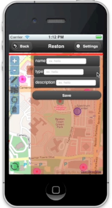
PushPin Cross Platform
-
Map is not as smooth as our web client
-
Still feels like the web and not a native app
-
Try it yourself and compare with Spatial Networks' PushPin iOS app in the AppStore
Problems
PushPin Cross Platform
Questions?
Case Study: Developing OpenLayers-based Mobile Applications
By Syrus Mesdaghi
Case Study: Developing OpenLayers-based Mobile Applications
Developing an application with the capability to view, collect, and edit geospatial data in connected, limited connectivity, and disconnected environments was a necessity for the ROGUE project. The first version of the application was developed using Cordova/PhoneGap, with everything written in html, css, and javascript, using OpenLayers 2.13 as the mapping library, and jQuery Mobile for the UI. Due to various UI concerns, we decided to implement another version utilizing as much of the native Android API as possible. We also developed a third mobile application using OpenLayers 3 as the mapping library, and Bootstrap for the UI. This talk will cover our experience developing these three geospatial mobile applications, specifically the differences between the approaches we took and any challenges that we overcame.


