Satellite image analysis
Motivation
- Wide application of Earth Observation
(maritime, environment, heritage protection, etc)
- Implications for insurance industry
(manage risk exposure of natural disaster: e.g. flood)
Why satellite image in Python?
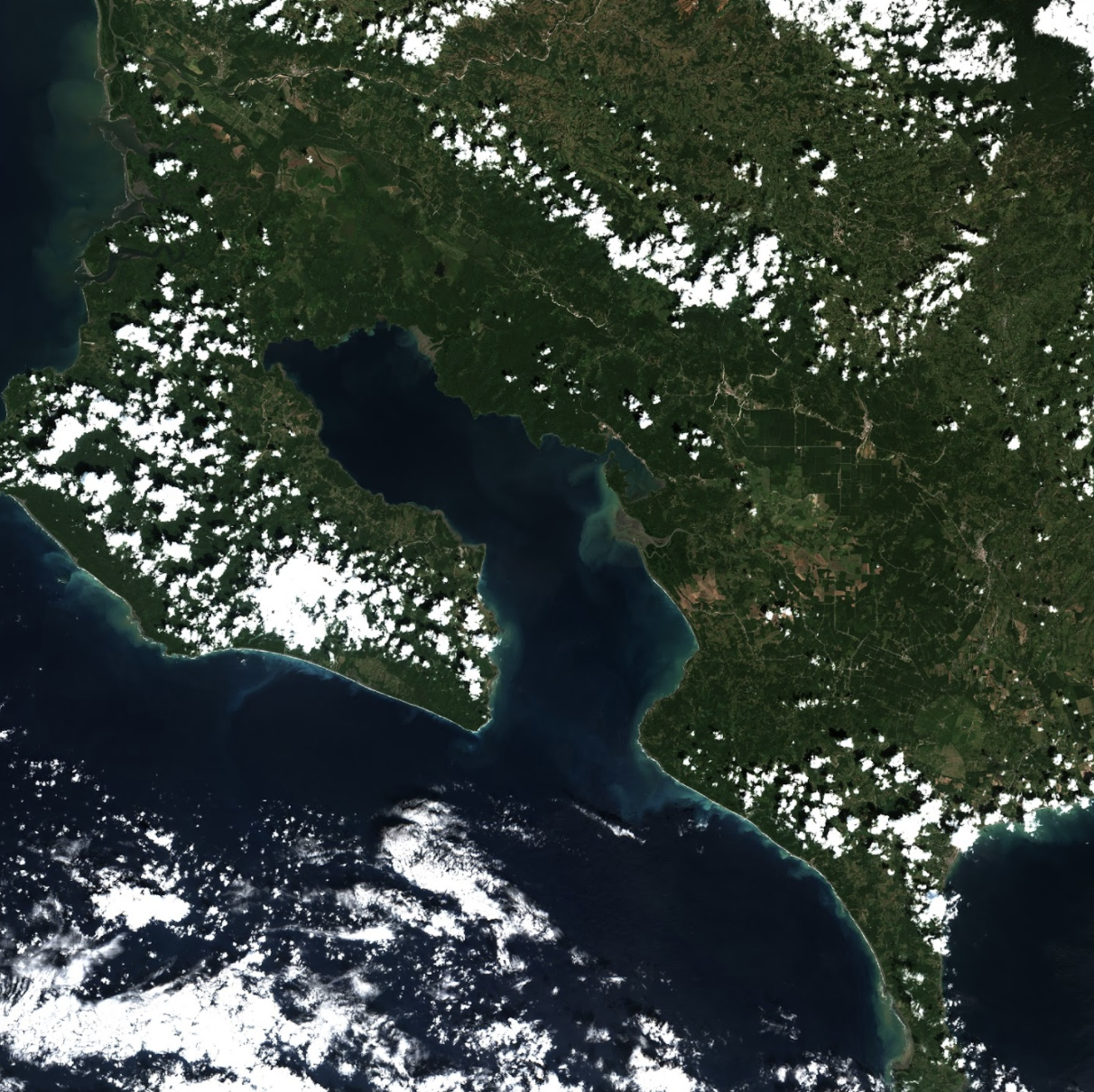
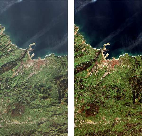
Costa Rica
Specialities of satellite image
- Different satellite
(sentinel-2)
- Combine spectral bands to see features on earth (e.g. vegetation)
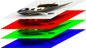
Channels: RGB
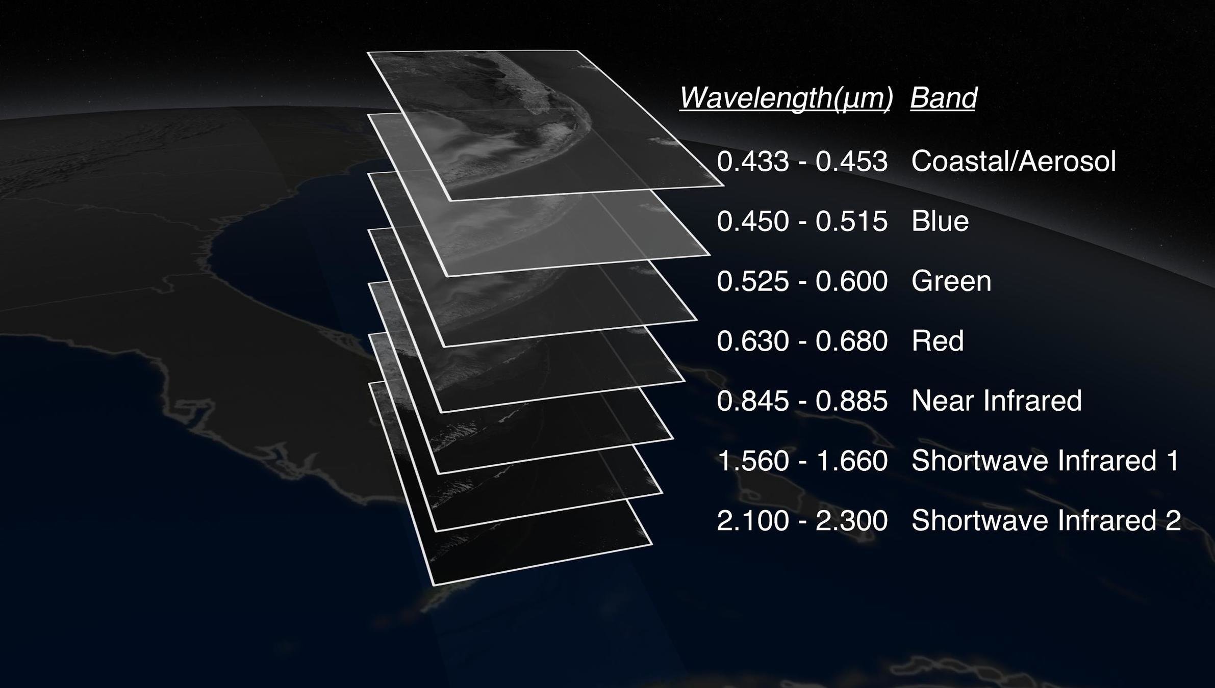
Visible and non-visible
- Bullet One
- Bullet Two
- Bullet Three
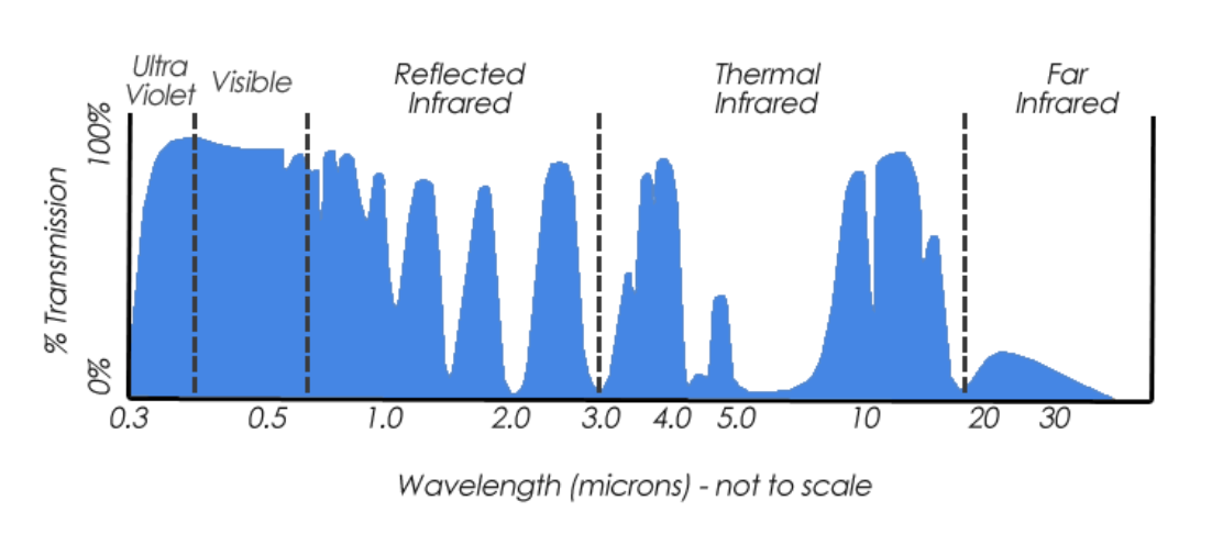
special types of sensors can pick up other forms of the EM spectrum – invisible to the human eye.
Consideration
- Resolution
- Frequency
- Cloud coverage
- Preprocessing / pre-select the right image!
Case use
Hands-on
References
Satellite image analysis with python
By yuy ai