


Ben Mather
Computational Geophysicist at the Sydney Informatics Hub, University of Sydney
An understanding of the Python programming syntax
Importing and exporting common data formats
Visualising graph data with matplotlib
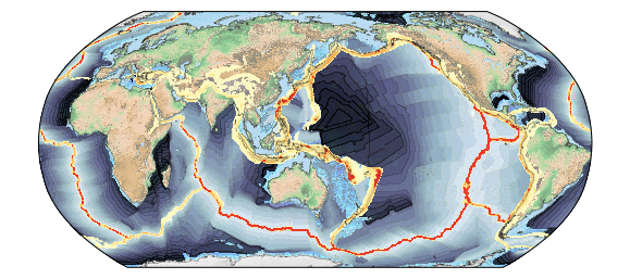
Mapping geoscientific data with Cartopy
Using common Python libraries (e.g. numpy and scipy) to solve simple geospatial problems
Our preferred installation Python installation is via conda, which uses separate environment to minimise dependency conflicts
conda install -c conda-forge gplately scikit-learn jupyterWe recommend creating a new conda environment inside which to install these dependencies. This avoids any potential conflicts in your base Python environment. In the example below we create a new environment called "my-env"
conda create -n my-env
conda activate my-env
conda install -c conda-forge gplately scikit-learn jupyter
my-env needs to be activated whenever you use GPlately: i.e. conda activate my-env.
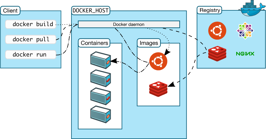
Access docker image from Kitematic
Search for "brmather/python-honours-course"
Attached volume to a folder on your computer
Open the web interface
$ docker pull brmather/python-honours-course:latest
$ docker images
REPOSITORY                            TAG                 IMAGE ID            CREATED             SIZE
brmather/python-honours-course        latest              0f196ceade6d        5 hours ago         3.17GB
brmather/pybadlands-workshop          18.04-ubuntu        0f196cesdfde        5 hours ago         2.17GB
brmather/pybadlands-workshop-base     18.04-ubuntu        17a94e4b836a        2 days ago          1.7GB
$
$ docker run --name honspy -p 8888:8888 brmather/docker-hons-pye:2019.04.13
Pull the docker image to your computer and run it within a container
Command line instructions
Each of these exercises will build on notebooks that we will cover during the course.
By Ben Mather
Honours coursework


