How technology can enhance the delivery of invasive plant management in British Columbia
Presented by:
Dana Diotte
GIS Technician
Technolgies Currently Used for Invasive Plant Management:
- Hyperspectral Imagery
- Drone (UAV's)
- Mobile Data Collection
- Advanced Data Science (Machile learning and AI)
- Nano Satellites
- Citizen Science
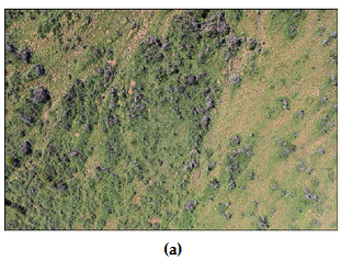
Hyperspectral Imagery
- Ultraviolet and infrared radiations
- Hundreds of spectral bands
- High resolution
- Can detect phenological differences
- Costly needing lots of storage and powerful computers.
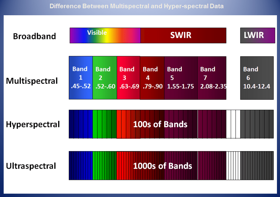
Source: Altigator (2018)
Literature Cited:
Drone (UAV's)
- Cost effective
- Collects data 'on demand'
- Can be used to detect and/or monitor invasive plants at various stages
- Need a licensed pilot to fly a UAV
- Weather can affect flying
- Limited range depending on quality of UAV and payload
- Good on sensitive or challenging terrain.
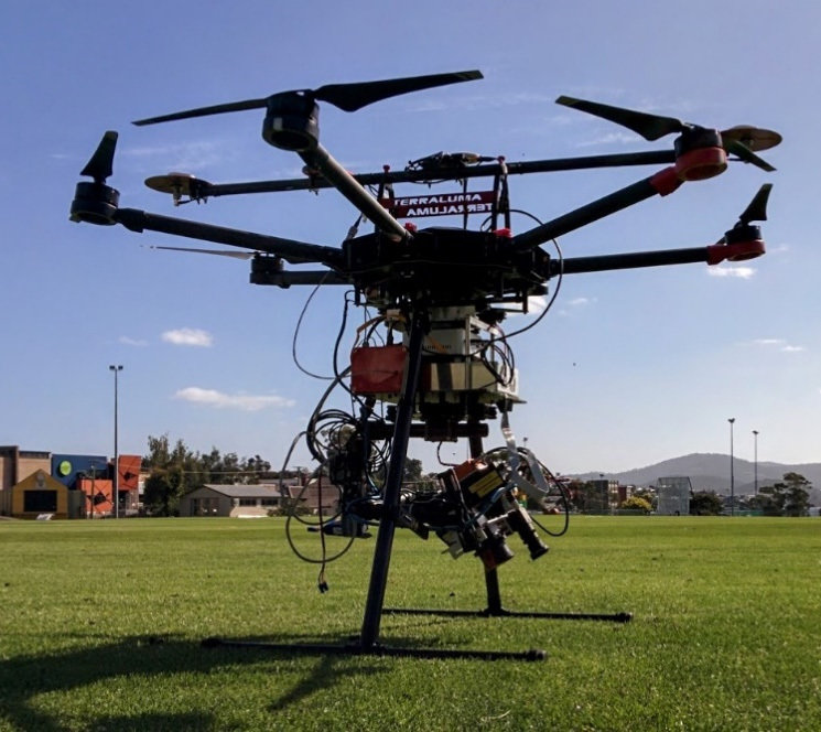
TerraLuma UAV w/ Hyperspectral system
Literature Cited:
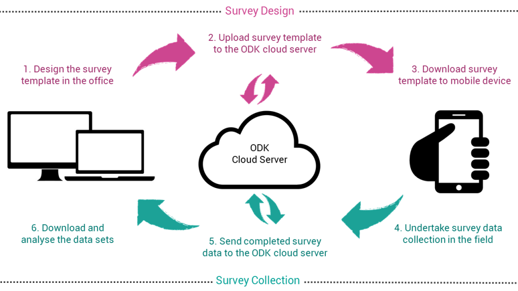
Mobile Data Collection
- Reduced cost
- Increase speed
- Data quality
- Improved control and flexibility of fieldwork
- Safer storage and backup
- User friendly method
- Quick access to data
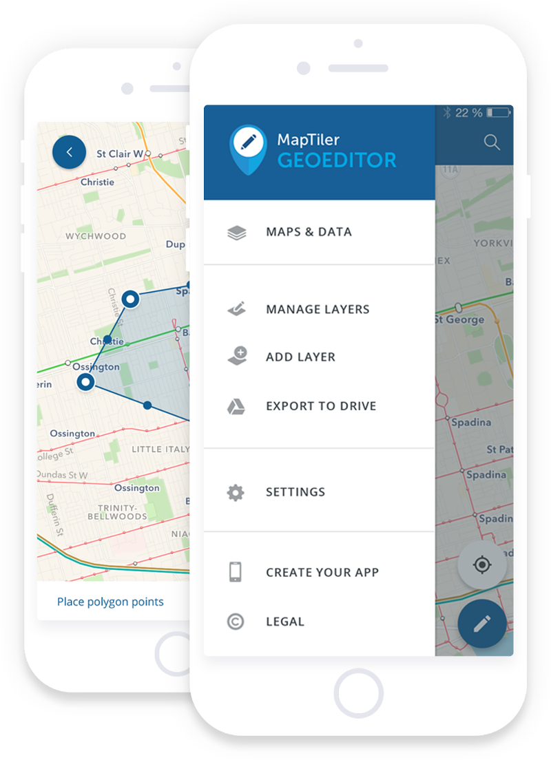
Mobile Data Collection Workflow
source: geogears
Advanced Data Science
(AI/Machine Learning)
- Fairly new for invasive species research
- Relies heavily on imagery and remote sensing
- Algorithm needs to be trained.
- Can be used to:
- Predict spread of species
- Mitigate spread of species
- Contain spread of species
- Needs powerful computer and lots of data storage
source: fast.ai
Nano Satellites
- Still very new
- Relatively inexpensive compared to regular satellite launch
- Hyper Spectral (over 200 bands) with good spatial resolution
- Can collect data for any area on the Earth's surface. (eg. provincial park)
- Can help with early detection of invasive species.
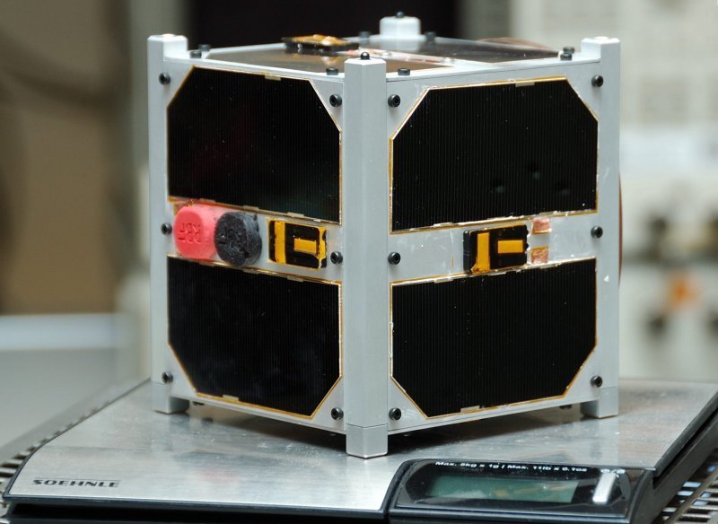
ESTCube-1 1U CubeSat
Source: Wikipedia
Facts as of October 28, 2018
- Nanosats launched: 966
- CubeSats launched: 878
- Interplanetary CubeSats: 2
- Nanosats destroyed on launch: 86
- Most nanosats on a rocket: 103
- Countries with nanosats: 58
- Companies in database: 323
- Forecast: over 3000 nanosats to launch in 6 years
source: https://www.nanosats.eu/
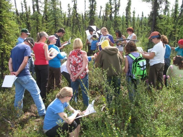
Citizen Science
- enables scientists to collect large amounts of data over wide areas at a minimal cost
- enables participants to make a direct contribution to research
- enables researchers to have broader impacts with their science
- Can be coordinated by groups or can be individuals contributing
Questions?
dana.diotte@gov.bc.ca
How technology can enhance the delivery of invasive plant management in British Columbia
By Dana Diotte
How technology can enhance the delivery of invasive plant management in British Columbia
Presentation topic: As the Invasive Species GIS Analyst, you have been asked to present on the following topic: How technology can enhance the delivery of invasive plant management in British Columbia. Target audience: Varied stakeholders in attendance at the annual Invasive Species Council of BC Forum.

