


Command and Control Centers powered with drones, AI/ML on satellite and drone data.
We generate actionable insights using Change Detection Technology on satellite maps augmented with inputs from drones, mobile phones, MIS and GIS data sources.
Stockpile Measurement
> Disaster Management
Green
> Open Data
> Mine
> Digital twin

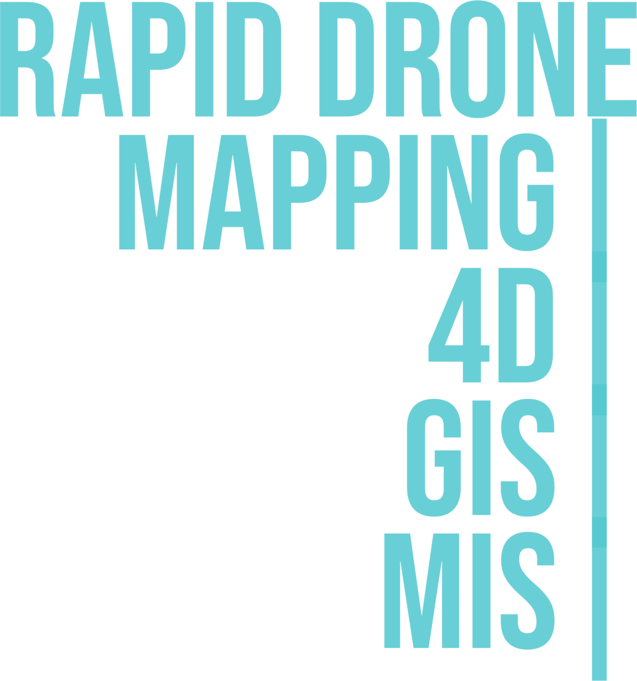
End-to-End solution
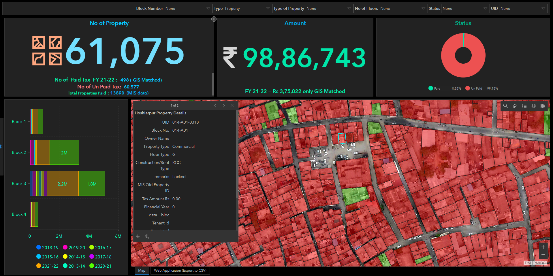

Geospatial dashboards
DronaMaps website new
By DronaMaps Private Limited


