


Any DGCA Regulated Drone
Available across India
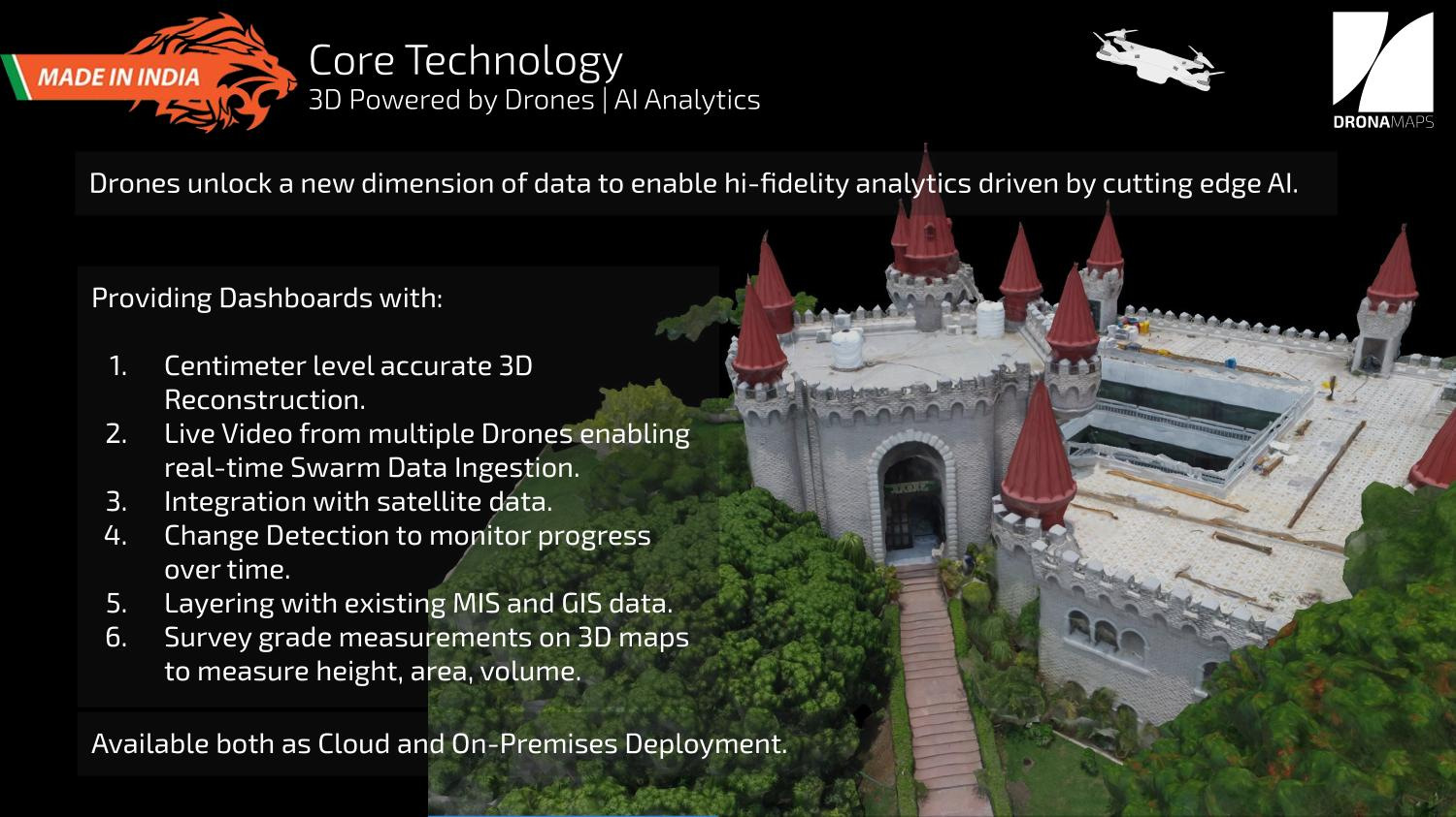
High Resolution
3-5 cm/ pixel
Flexibility:
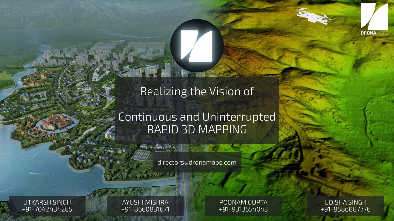
In Deployment Time, Frequency, and applications
(Urban and agriculture).

Democratising Mapping

standing on the shoulders of giants
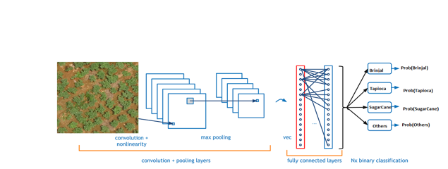
Product Layout

Data Collection
Reconstruction to Maps
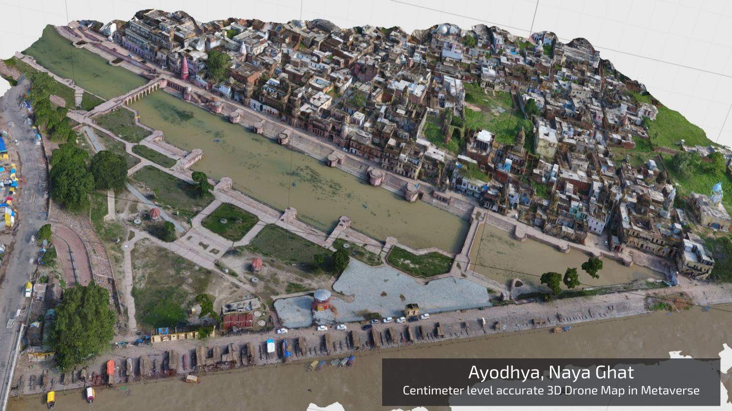
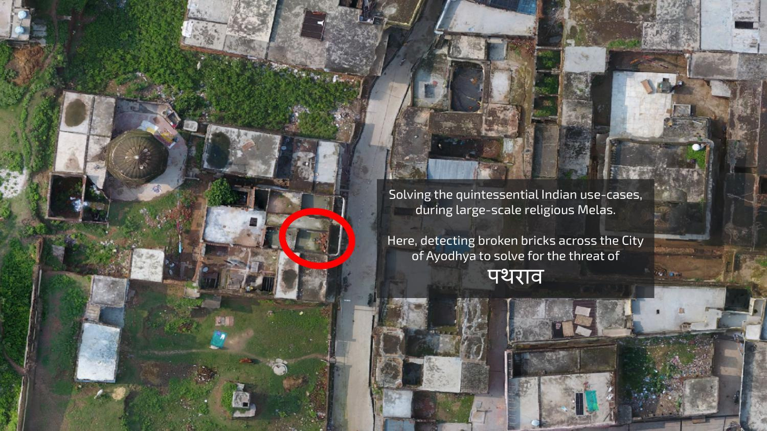
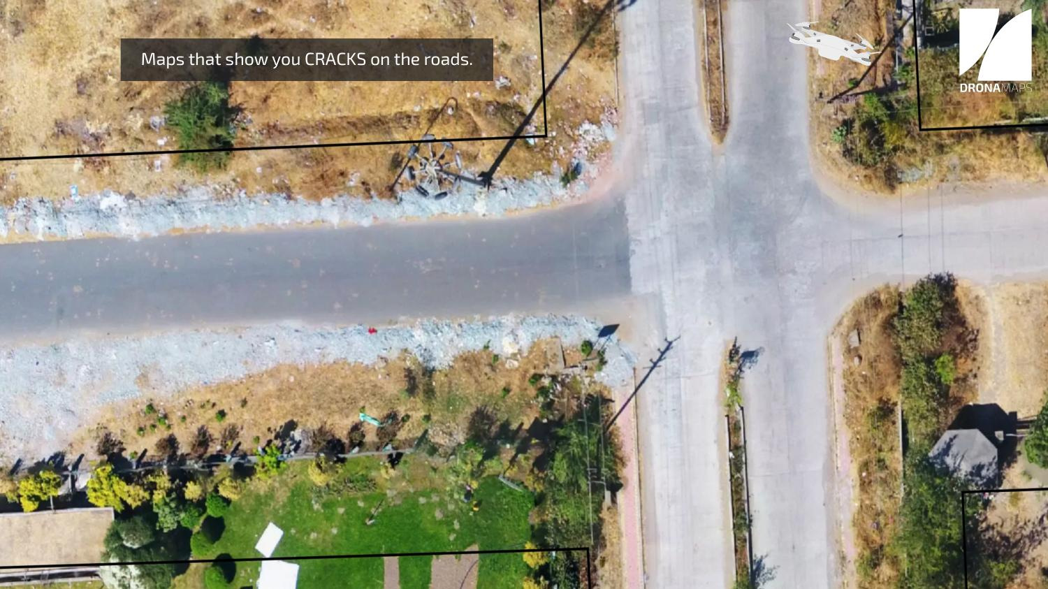
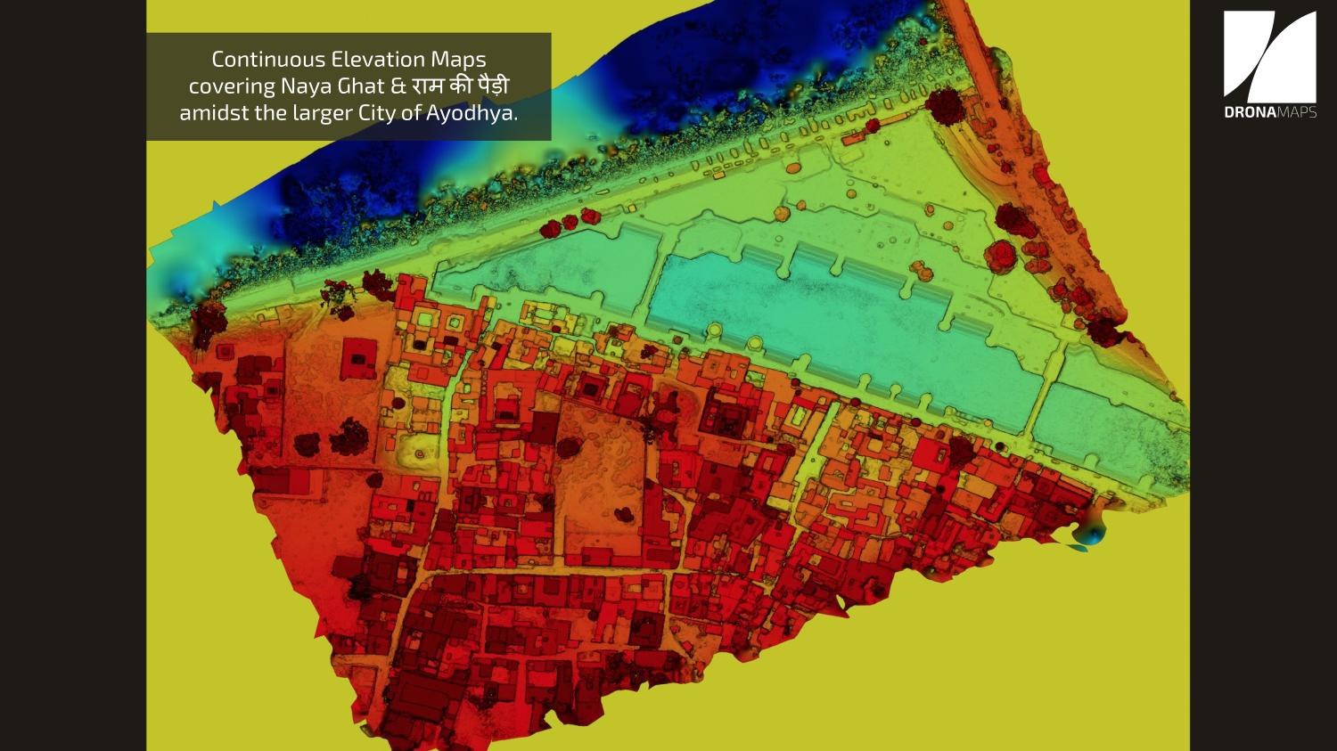
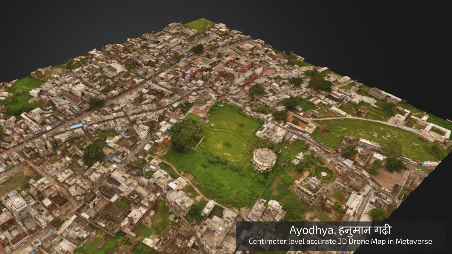
Settlements
Precision Agriculture
Optimised for large-scale data. Compatible with ArcGIS for both imports and exports. Drone2Map API can be used
Applications
Recommendation Engines with AI
Flight plan
GCP
AI Analytics
To be available on ArcGIS Marketplace
& SAP FIORI UI5
WalkThrough
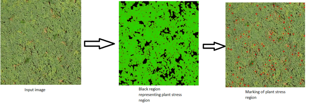
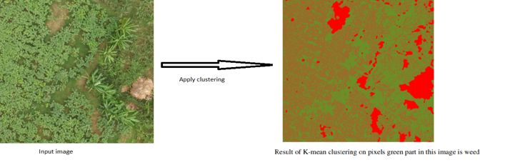
Under the Hood: Precision Agriculture
- Plant stress
- Weed stress
- Water stress
- Plant classification
Current Suite
New Additions
- Yield Estimates
- Growth Assessment
- Recommendations on stress
What you learn?
Field Intelligence: Spot problem areas with NDVI, VARI, and other indices.
Plant Count: Determine stand count
Plant Health Monitor: Diagnose, assess, prevent, and correct the overall status quo and damage to the crops throughout the cropping season. We detect and prevent plant stress and damage from biotic and abiotic factors.
Field Management: Intuitive tools and layers to monitor crops.
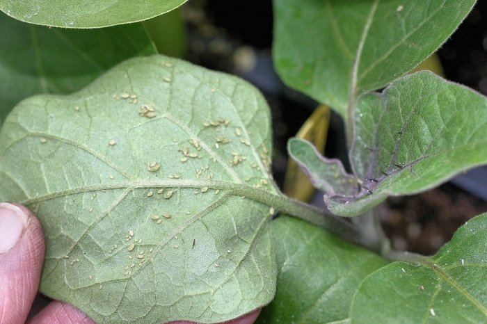
Weed Stress Detected
Biological Control

Phalaris minor Retz.
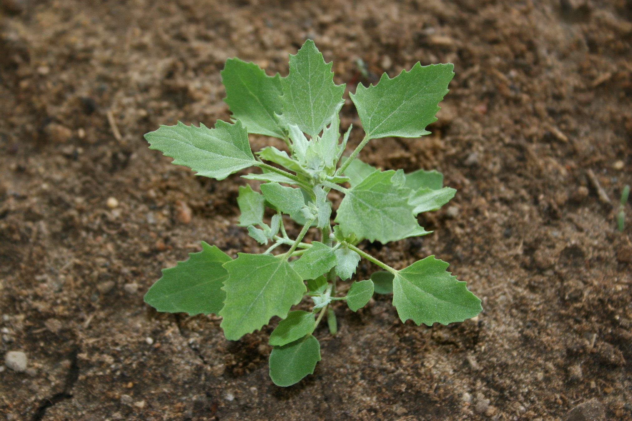
Chenopodium album L.
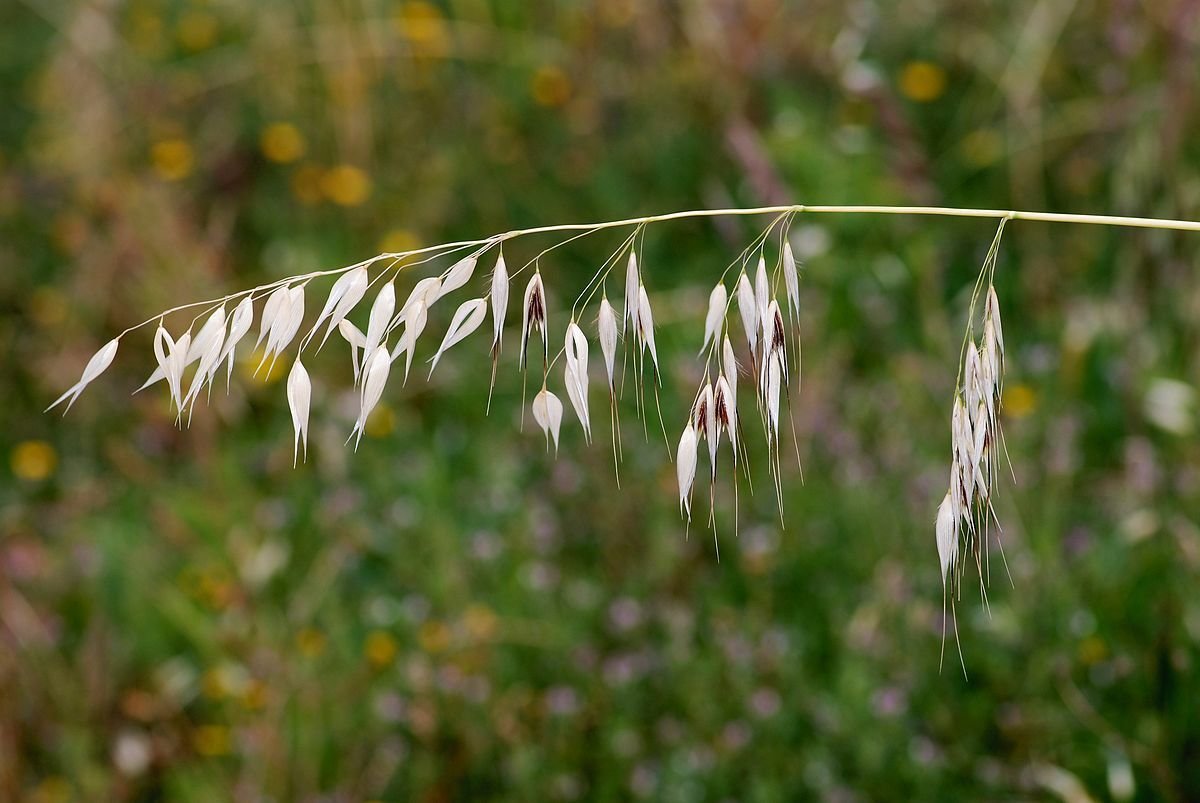
Avenafatua L
Some common weeds in the area:-
Overview:
Chemical Control
Tribunil or Dosonex or Isoproturon @ 2 kgjha in 400-600 litres of water 32-35 days after sowing.
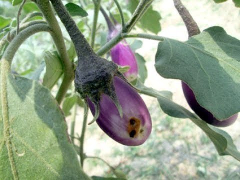
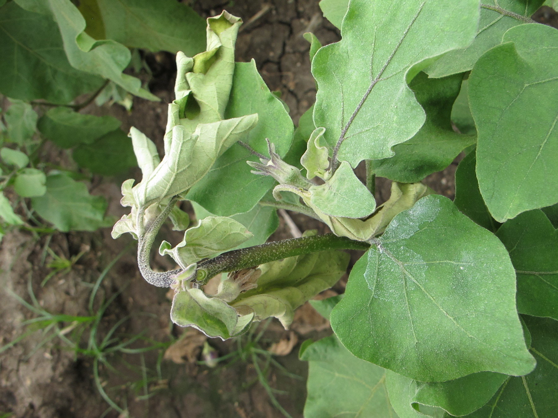
Plant Stress Detected
Biological Control
Fruit Borer
Shoot Borer
Aphid
Some common in pests in the crop in this area:-
Overview:
Chemical Control
Neem Seed Extract at 5% or spinosad or nets with a sticky substance
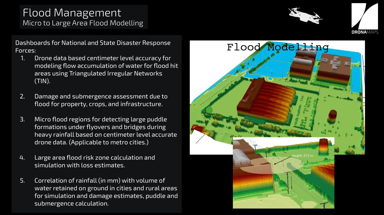
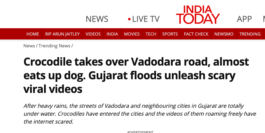
Flood Model

IFFCO
By DronaMaps Private Limited
IFFCO
Platform Description+ Products


