MAPPING HAZARDS AND RISK
FEMA FLOOD MAPPING PROCESS
National Flood Insurance Program
A voluntary program based on a mutual agreement between the Federal government and the local community.
In exchange for adopting and enforcing floodplain management regulations, Federally-backed flood insurance is made available to property owners throughout the community.

National Flood Insurance Program
MAPPING
INSURANCE
REGULATIONS


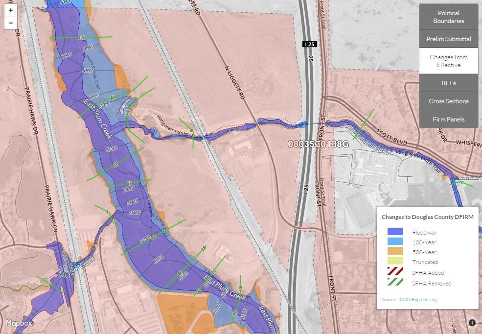
Floodplain Mapping Standards
Topography
Aerial Mapping
LiDAR
Survey
Hydrology
The quantity of water that must pass a given point
Hydraulics
The configuration and “roughness” of the channel and adjacent overbank area that must carry that water


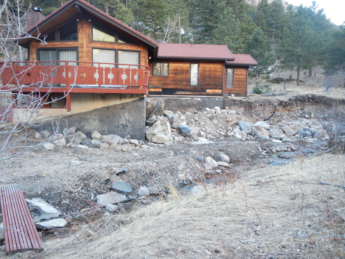
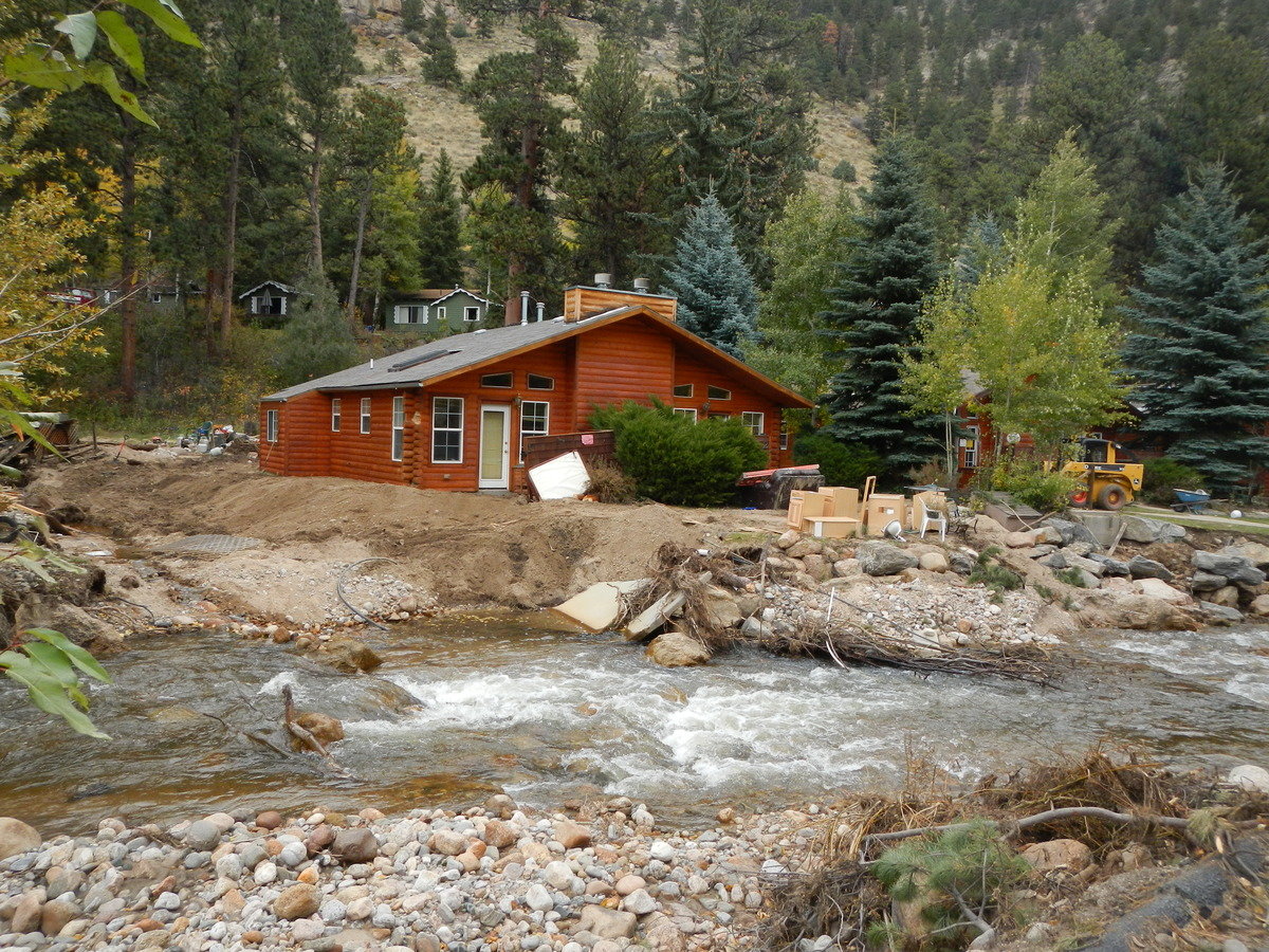
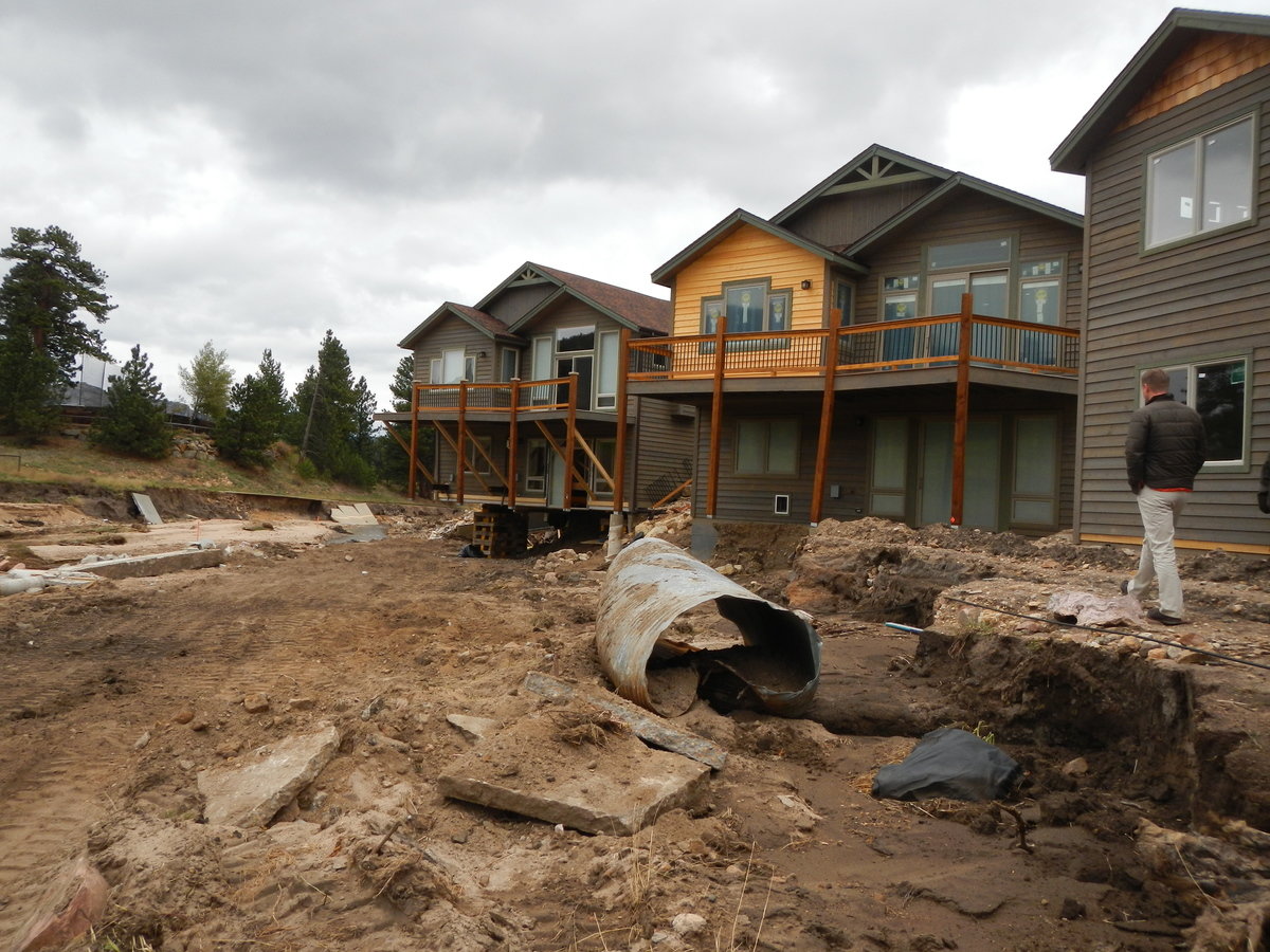
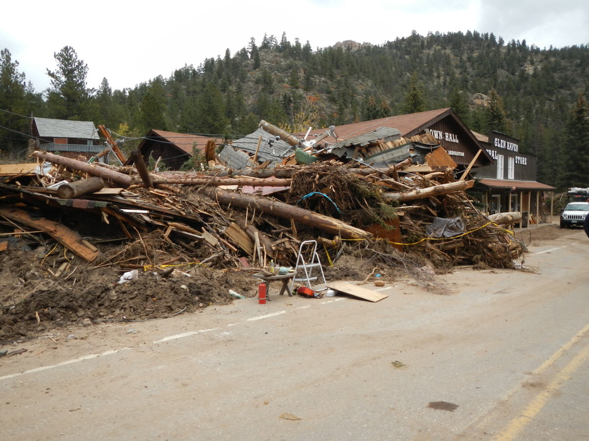
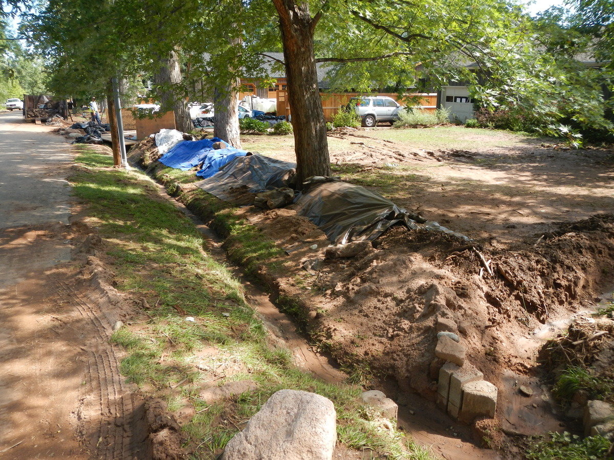
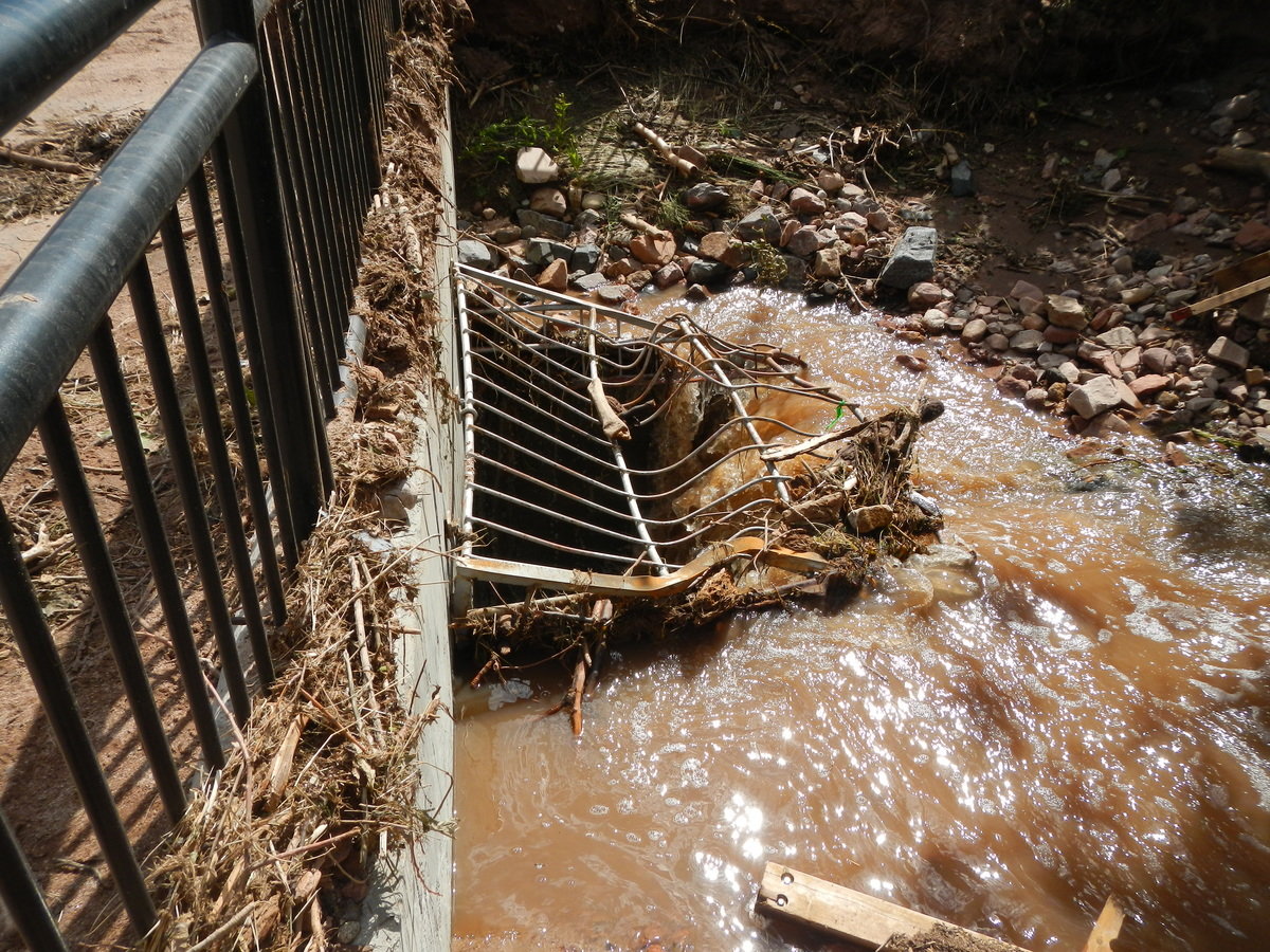
Limitations
Hydraulics
- Vegetation
- Aggregation
- Degradation
- Erosion
- Debris
- Man-made features
- Bridges/Culverts
- Flood debris
- Human response to flooding
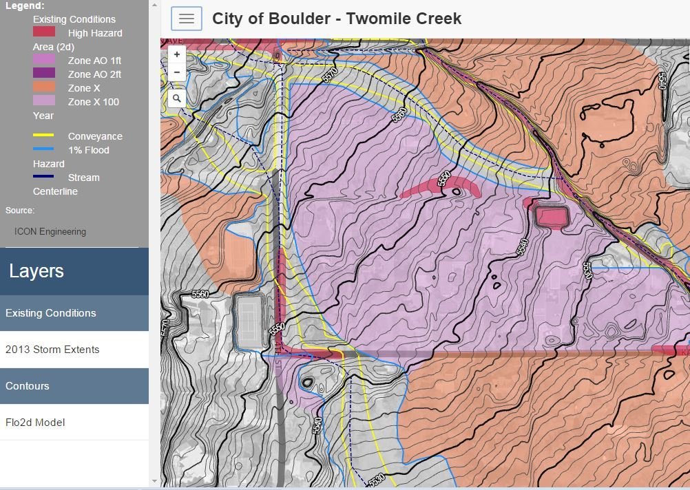
City of Boulder - Twomile Canyon Creek
Next Steps........?
Mapping Hazards and Risk (Simple)
By Eben Dennis


