


Erik Champion
Erik Champion, Curtin University
Erik Champion
https://aapi.curtin.edu.au/research-projects/erik-champion/
Funded by a Curtin Institute of Computation grant ($7,100) to December 2017.
Pelagios Framework: online portal of maps, charts, documents, pictures and dynamic data, interactive visualisations and predictive cartographic tools.
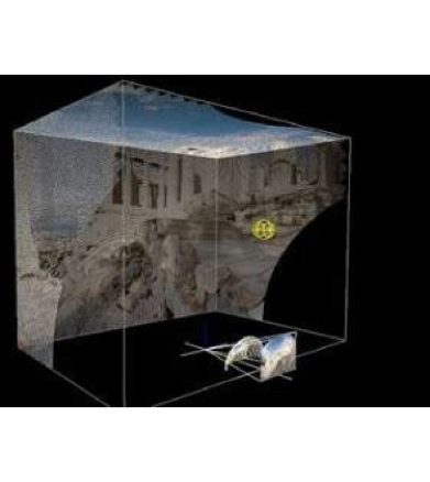
Display and dynamically link to 3D models and their subcomponents, using GIS Data (simple 3D stl models)
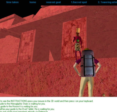
Combine 2D, IF, 3D, Video, Panorama
2-3 trackers for mirrored gestures, virtual hands or greenscreening
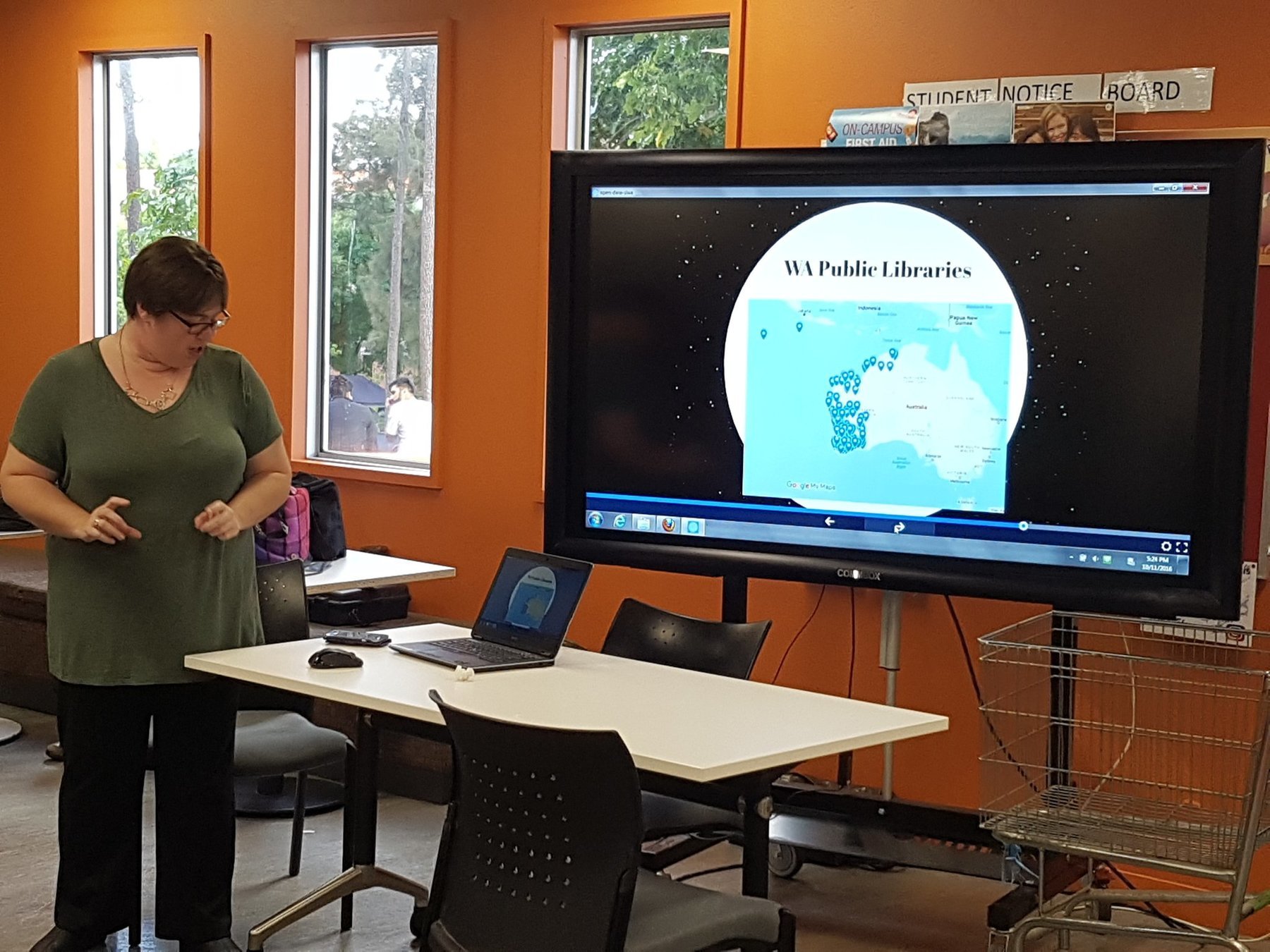
The State Library of WA suggested using their climate and location data of state libraries to create a climage change crisis game..
Dynamically link 2D archive images to 3D surfaces..
VR environment
Connect a chatbot to a robot or a web-based world
Mod a game, change the rules on inhabitation & visitors
HTC Vive, PlaystationVR, Oculus, HoloLens, FoveVR
By Erik Champion
Draft projects for 2018


