


Fernando Benitez
I'm GeoGeek
Ph.D. Research Proposal
Lisbon - 2015
Fernando Benitez
Geodetic and cadastral engineer
Developer Manager in Esri Colombia
@geo_geeks - @mfbenitez
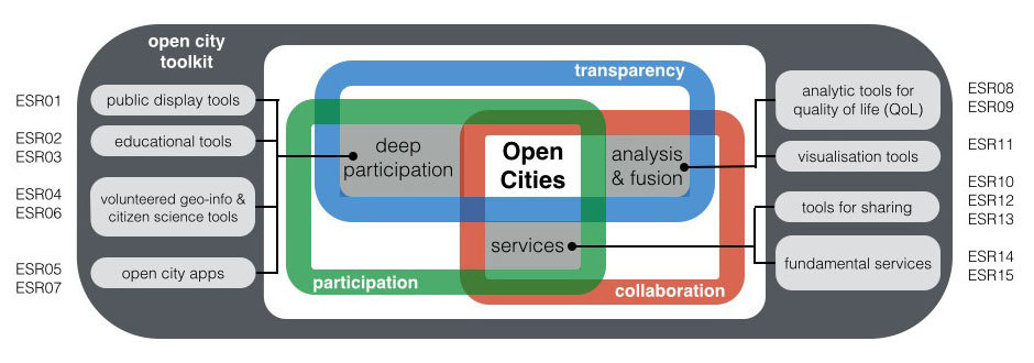
Integration
Services
Visualization
Public Tools
Access - Integration - Visualization
Analysis
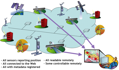
OGC® Sensor Web Enablement: Overview And High Level Architecture
We need create a interface for integrate "Every" sensor in different scales (MultiScale)
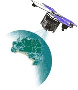
Global
Regional
Zonal
Street
Personal
Restricted
Privacy
Semantic Sensor
STORAGE: ¿Is required store data?
Service URL
{Connection}
Other
Service
Connection
Service
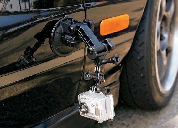
GoPro
Service
Camera
Street
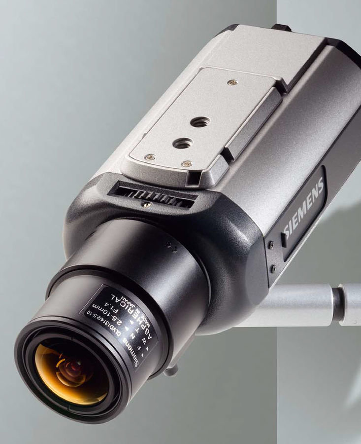
Camera
Service
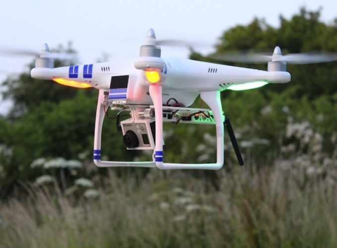
Dron
INTEGRATION: Pool of Service (PaaS)
Analysis
Geo
Geo-statistics
(Paterns)
Noise
Risk Areas
Traffic
Once we have data {Service connetion}, we need processing, and take a advantage their resolution {Spatial - Temporal}
Pollution
...Beyond
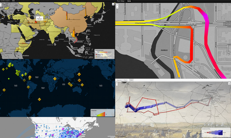
GPS is not only way to explore...
We must think beyond...and try create methods to solve problems
in Smart Cities
Visualization
Geo
To be
, or not to be
Geo
Visualization
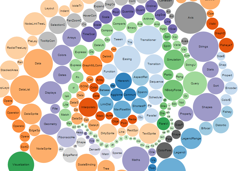
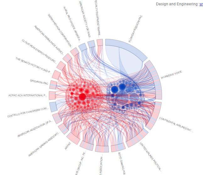
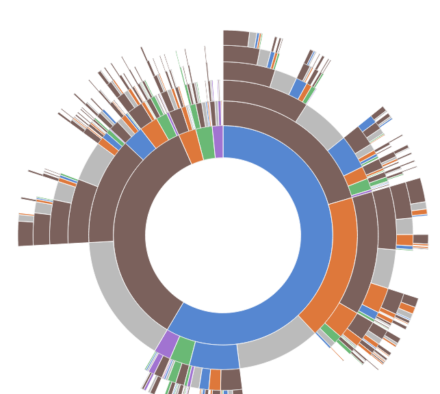
D3.JS Library
Many users, many devices, a lot of information
Visualization
Create beatiful maps and avaliable in many devices
Customize and extend
ToolBox
Geo
Interface
Semantic Sensor
Sensor
Areas
POI
Carto
Analysis
Query
x,y
Sensor
Temp.
Spatial.
Layers
...
ToolBox
Geo
GeoProcessing
Ly 1
Ly 2
Ly 3
Useful Layer
API Methods
API {Developers Comunnity}
Not Geo Data
{D3.js}
Geo Data
{Leaflet}
for your time and your support.
Fernando Benitez
Geodetic and Cadastral engineer
Developer Manager in Esri Colombia
@geo_geeks - @mfbenitez
By Fernando Benitez
Selection Workshop in Lisbon, 2015


