Landbase Update using Imaging Scanner
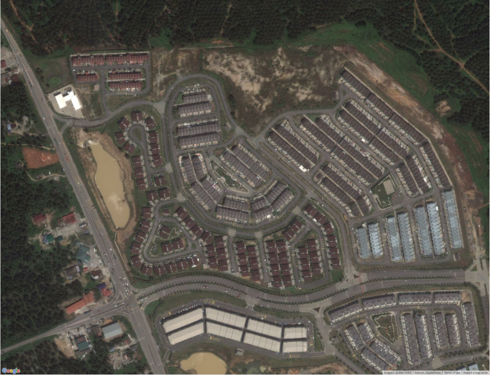
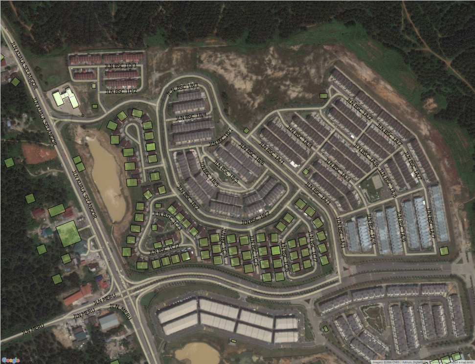
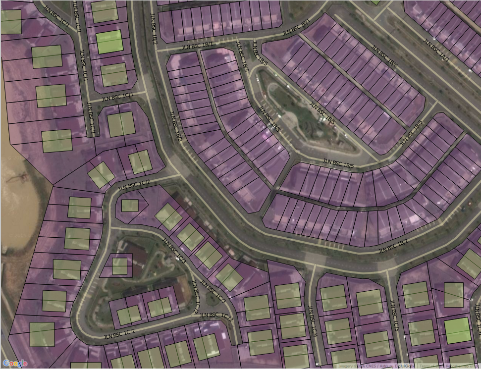
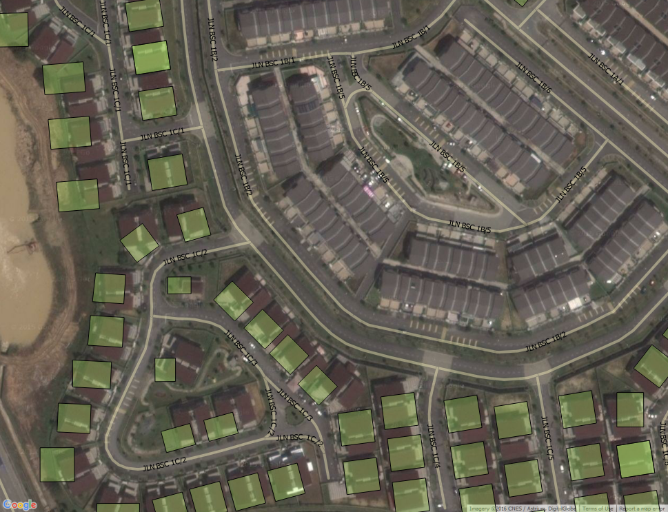
Google Satellite Image - Bandar Seri Coalfields
Software: QGIS
Satellite Image: Google
Landbase/Admin layers: TMOM
Zoom in
More layers
Street overlay
Street + Residential Lot
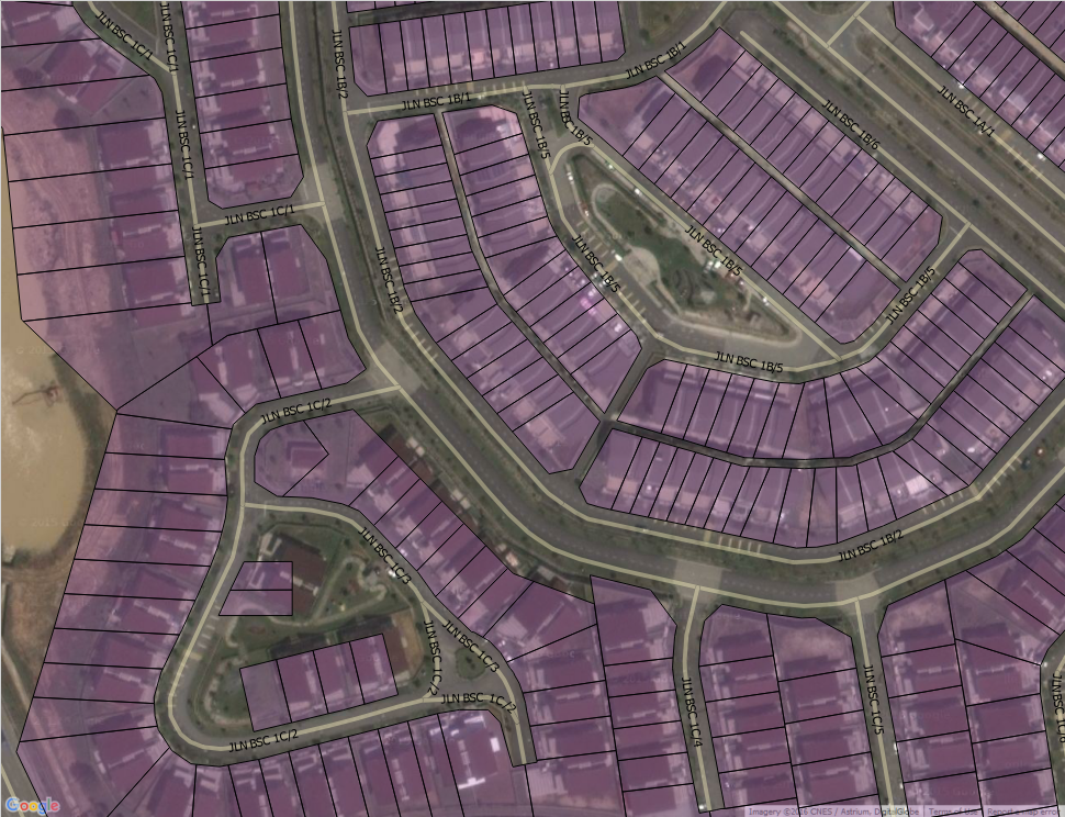
Street + Residential + Building block
Street + Building block
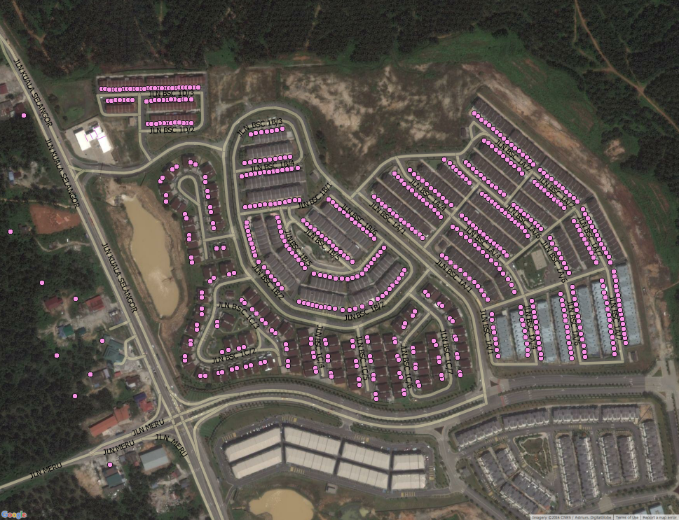
Street + Property points
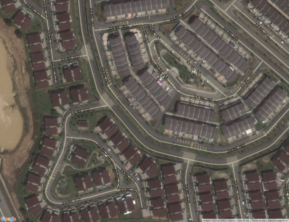
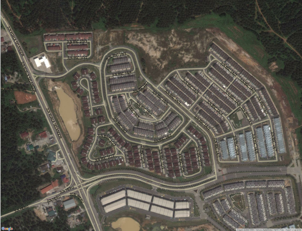
Zoom in + Street
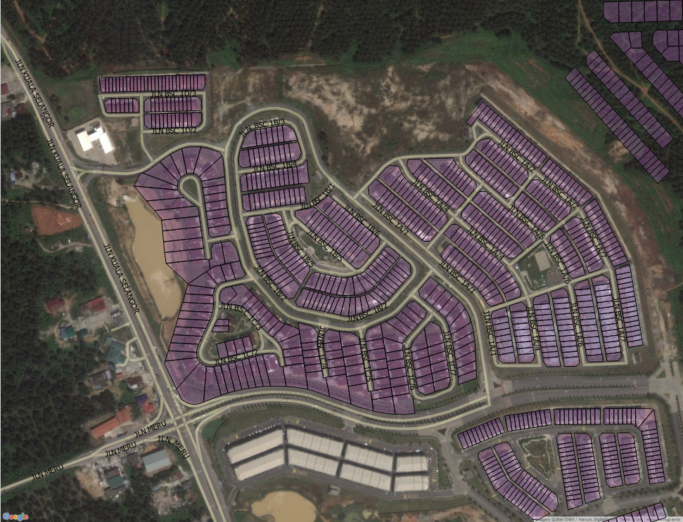
Street + Residential lot
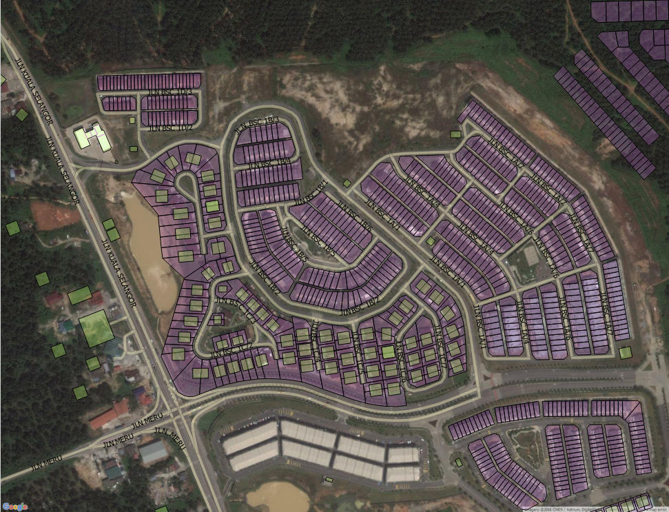
Street + Residential + Building blocks
Street + Building block
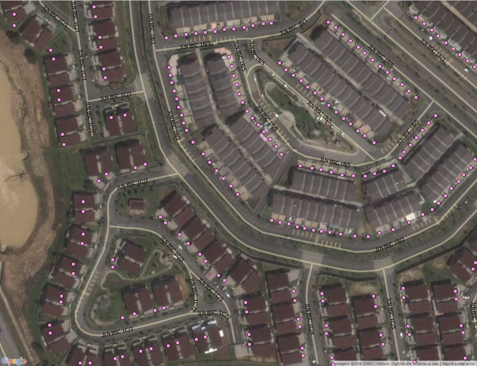
Street + Property points
Conclusion:
- Possible to use Imaging Scanner to update landbase as alternative option
- maybe as last resort due to time consuming
Landbase Update using IS
By hizumi