The New Frontier
AI-Fueled Spatial Science
- Graphics: An evolving image sequence from traditional maps to digital GIS to AI-integrated map systems.
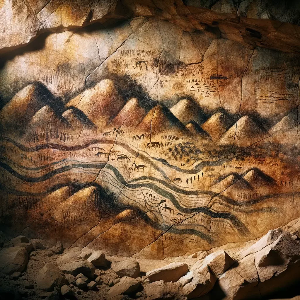
Slide 2: The Legacy of Cartography
- Title: From Compass to Computer: The Evolution of Cartography
- Graphics: Timeline of cartographic technologies; from early mapmaking tools to modern GIS software.
-
Key Points:
- Historical significance of maps in human understanding and interaction with the world.
- Evolution from manual to digital cartography tools.
- Introduction to Geographic Information Systems (GIS).
Slide 3: Geographic Information Systems (GIS)
- Title: GIS: The Backbone of Modern Cartography
- Graphics: Screenshots depicting GIS software in action (e.g., ArcGIS layouts).
-
Key Points:
- Definition and functionalities of GIS.
- Impact of GIS on spatial analysis and decision-making.
- Brief on technological advancements enhancing GIS capabilities.
Slide 4-6: Integration of AI in GIS
- Title: AI Meets GIS: A Revolutionary Partnership
- Graphics: Diagrams showing AI integration in GIS processes; before-and-after scenarios.
-
Key Points:
- How AI technologies are integrated into GIS.
- Examples of AI-driven improvements in map accuracy and data processing.
- Potential for AI to handle more complex spatial queries and analyses.
Slide 7: Quantum Advances Impacting GIS
- Title: Quantum Computing: A Game Changer for GIS
- Graphics: Visual comparison of classical vs. quantum computing processes.
-
Key Points:
- Introduction to quantum mechanics and computing.
- Implications of quantum technologies for data processing in GIS.
- Future prospects of quantum computing in enhancing GIS capabilities.
Slide 8-10: Cartography in the Age of AI
- Title: Redefining Maps: AI's Role in Cartography
- Graphics: Examples of AI-generated maps and designs.
-
Key Points:
- Discussion on AI's capability in automating map design and analysis.
- The concept of cartographic democratization through AI.
- Showcasing the "Map Doctor GPT" app as a tool for instant expert cartographic advice.
Slide 11-13: Challenges and Opportunities
- Title: Navigating the New Terrain: AI's Impact on Geographic Sciences
- Graphics: Balance scale with AI benefits and challenges.
-
Key Points:
- Analysis of potential job disruptions and market changes due to AI in cartography.
- The shift from human-operated to AI-driven cartographic processes.
- Opportunities for geographers to engage in more critical and creative spatial analyses.
Slide 14: Ethical Considerations
- Title: Ethical Mapping: AI and the Moral Compass
- Graphics: Thought-provoking questions or scenarios in AI ethics.
-
Key Points:
- Discuss ethical concerns surrounding AI in GIS, such as data privacy and bias.
- The role of human oversight in AI-driven geographic analyses.
- How ethical considerations can guide the development of AI tools in cartography.
Slide 15: Conclusion
- Title: The Future is Here: Embracing AI in Spatial Sciences
- Graphics: A futuristic city map designed by AI.
-
Key Points:
- Recap of AI’s transformative potential in cartography and GIS.
- Final thoughts on preparing for a future where AI tools enhance geographic inquiry.
- Encouragement for embracing these changes as advancements rather than threats.
Slide 16: Q&A
- Title: Interactive Discussion
- Graphics: An open digital forum or a speech bubble icon.
-
Key Points:
- Open the floor to questions.
- Engage with audience insights and curiosities about AI in spatial sciences.
Additional Notes:
- Graphical Style: Each slide will feature high-quality, engaging visuals, such as interactive maps, infographics, and icons that correspond with the discussion topics.
- Audience Engagement: Utilize real-time polls or interactive elements if the presentation software allows.
- Technical Requirements:
Geography as discipline
deck
By Ian Muehlenhaus


