-
CURRENT STATE OF OUR OCEANS
-

On a planet where 71 percent of the surface is covered by water, the oceans are critical for life itself. They feed us, regulate our weather patterns, provide over half the oxygen that we breathe, and contribute to our energy and economy.
An estimated 350 million jobs globally are linked to the oceans.
One billion people living in developing countries depend on fish as their primary source of protein.
There is five times more carbon stored in coastal habitats than in tropical forests.
Eighty-five percent of the world’s fisheries are categorized as either “fully exploited,” “overexploited,” or “depleted.”
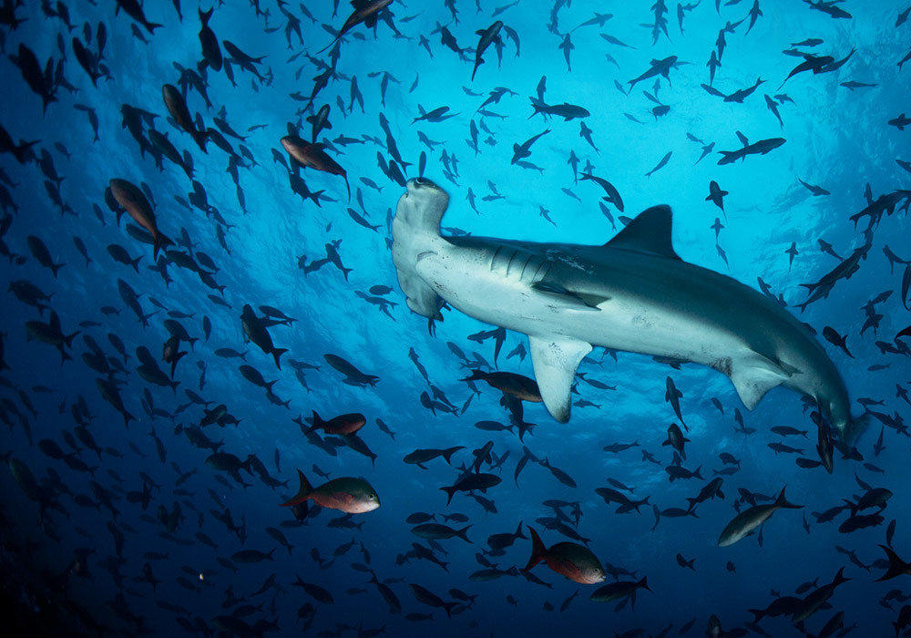
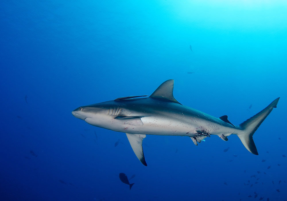
Ninety percent of sharks and big fish in the oceans are gone.
Climate change threatens coastal communities worldwide.
Less than 2 percent of the oceans is legally protected in parks and reserves, compared to 12 percent of land areas globally.
Less than 5 percent of the ocean floor and the waters beneath the surface have been explored and mapped in a level of detail similar to what already exists for the dark side of the moon, for Mars, and for Venus.

-
ENTER CITIZEN SCIENCE
-
-
"Using the same technologies that separate us from nature to help us understand and enjoy it."
DAVID SUZUKI
-
“Enter citizen science — using the same technologies that separate us from nature to help us understand and enjoy it. Smartphones, the Internet and accessible research technologies deinstitutionalize science and get the inner scientist in all of us outside to contribute to a broader understanding of a variety of topics, from backyard birds to flower-blooming times.
Science relies on observation. As more people examine natural phenomena and record and share information, we gain better understanding of the world. An increasing number of scientific inquiries now depend on contributions from ordinary people to help them answer important questions.”
- David Suzuki
-
STEM EDUCATION:
HANDS ON,
MINDS ON
LEARNING
-

AWSOME FACTS ABOUT STEM EDUCATION:
The national average payout is 70% bigger
Unfilled STEM vacancies are higher than candidates


Between 2008 to 2018 STEM jobs grew twice than other jobs
8 out of 10 most wanted employees have STEM education
In the next 20 years, 80% of jobs will require technical skill.
STEM employees build communities and move the nation forward


-
WHY ARE WE DOING THIS?
-
Why are we doing this?
To understand and conserve Marine Ecosystems worldwide through Citizen science, community engagement and government support.
CONNECTOCEAN CITIZEN SCIENCE EXPLORER MISSION:
-
WHAT DO WE WANT TO ACCOMPLISH?
-
CONNECTOCEAN CITIZEN SCIENCE EXPLORER GOALS:
The project will incorporate an integrated research approach through citizen science, examining the biological, ecological and behavioral trends of marine ecosystems with a focus on Mangroves, Intertidal zones, reefs,open ocean and watershed ecology.
1
The citizen science data gathered under this project will be used to advise policy changes and develop a long-term marine conservation management plan for Marine Conservation Areas around the world, including the designation and/or expansion of marine protected areas.
2
There will be a key educational element to this project focusing on divers and STEM school education.
3
Long Term and Short Term funding strategies for local projects and research.
4
-
HOW ARE
WE DOING
THIS?
-
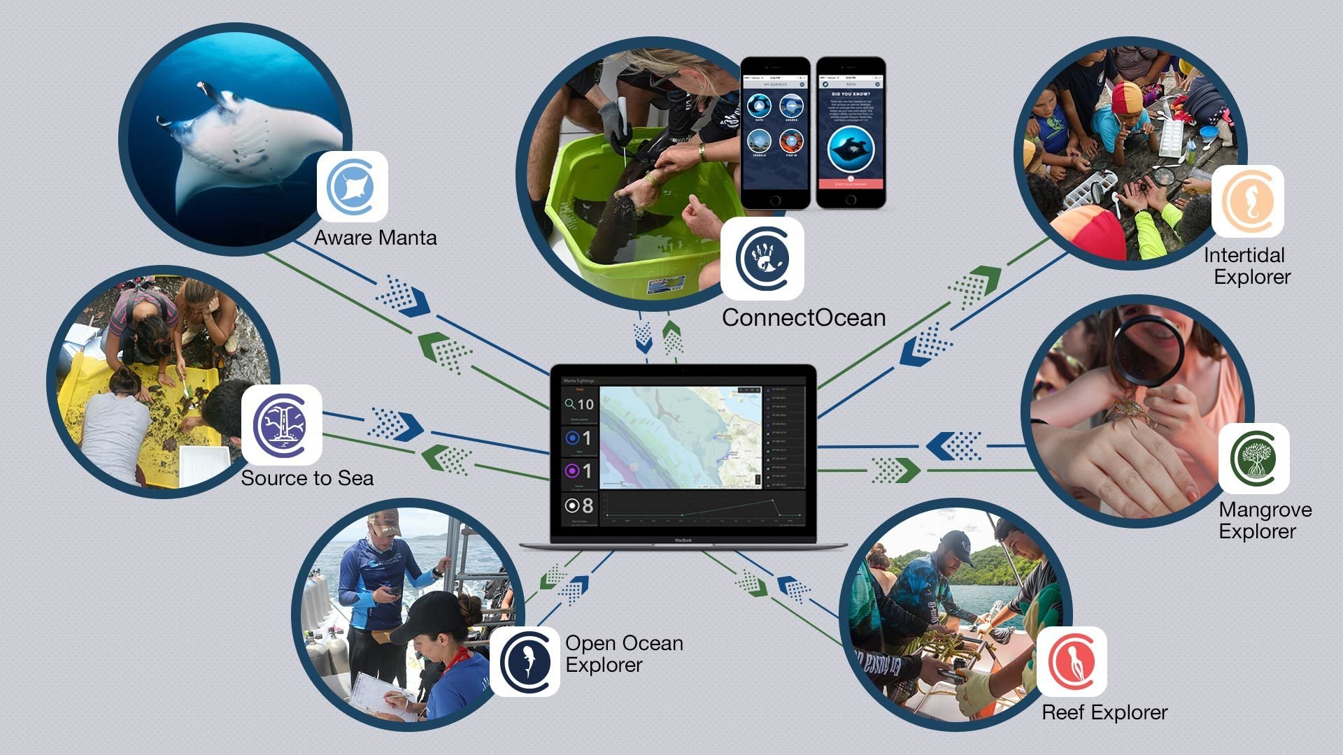
CONNECTOCEAN CITIZEN SCIENCE EXPLORER TACTICS:
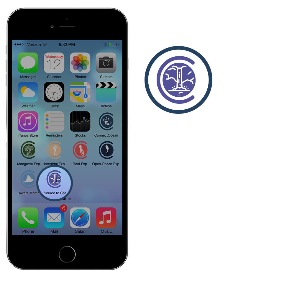
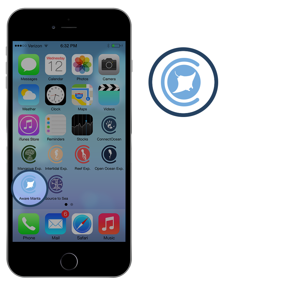
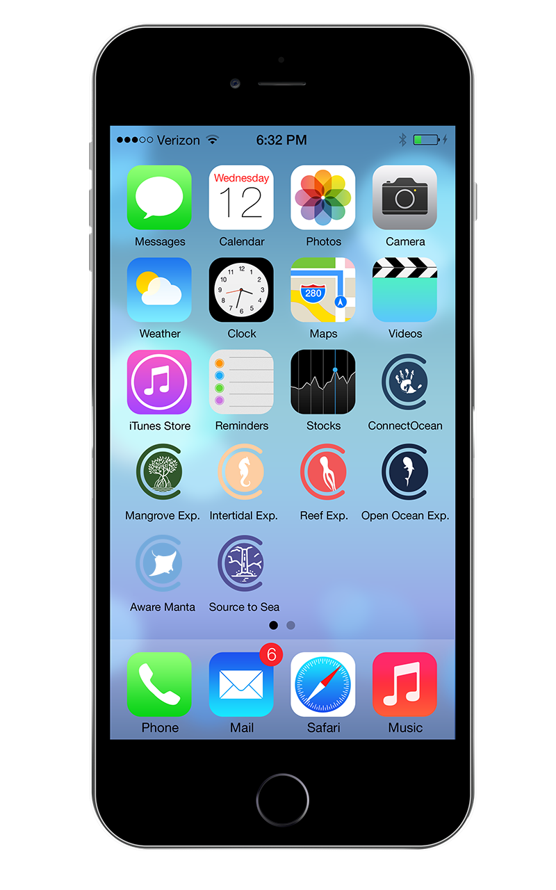
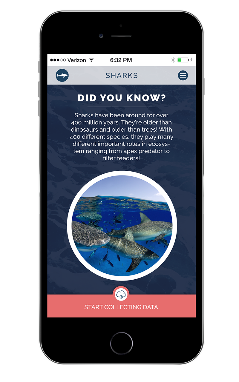
ConnectOcean has developed a Citizen Science curriculum covering 4 Marine Ecosystems, a watershed ecosystem and an AWARE Manta Conservation Speciality.
-
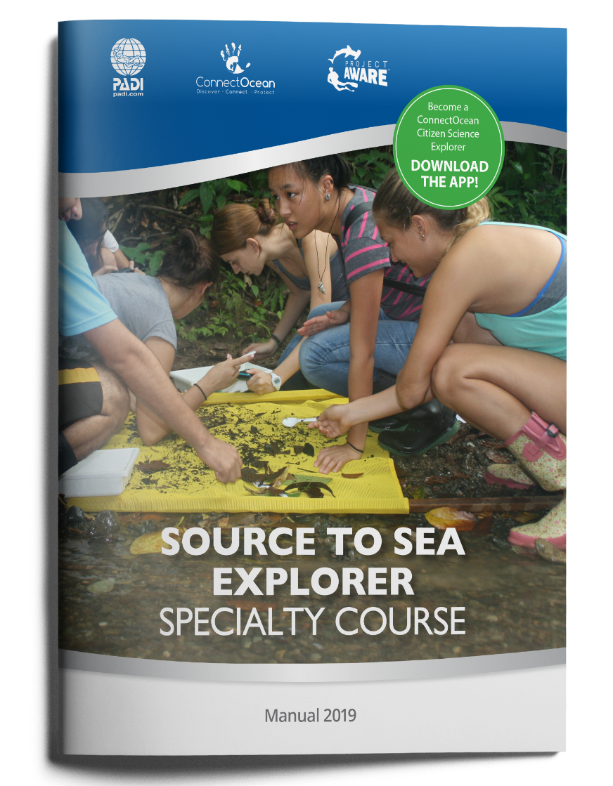
Source to Sea Explorer
-
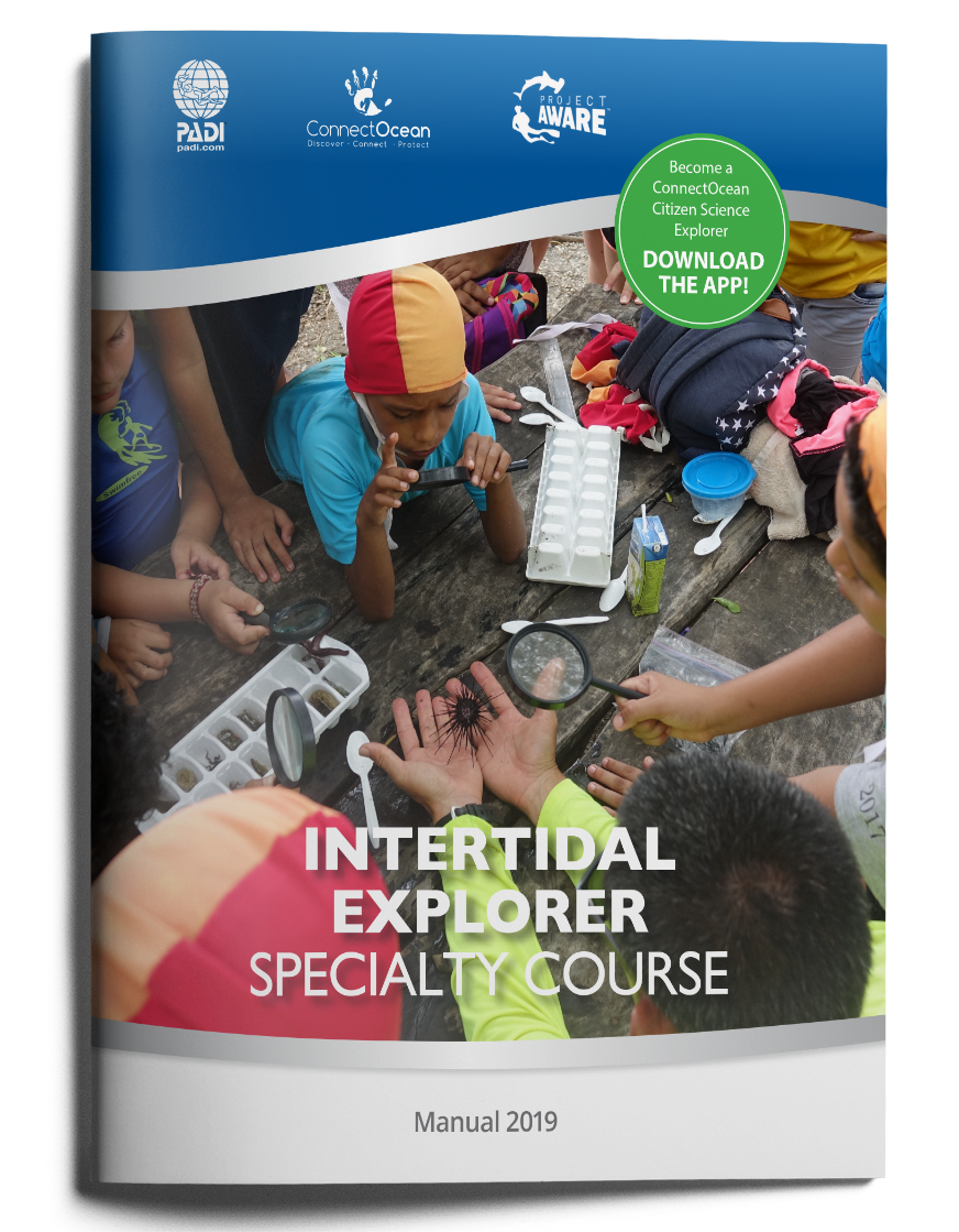
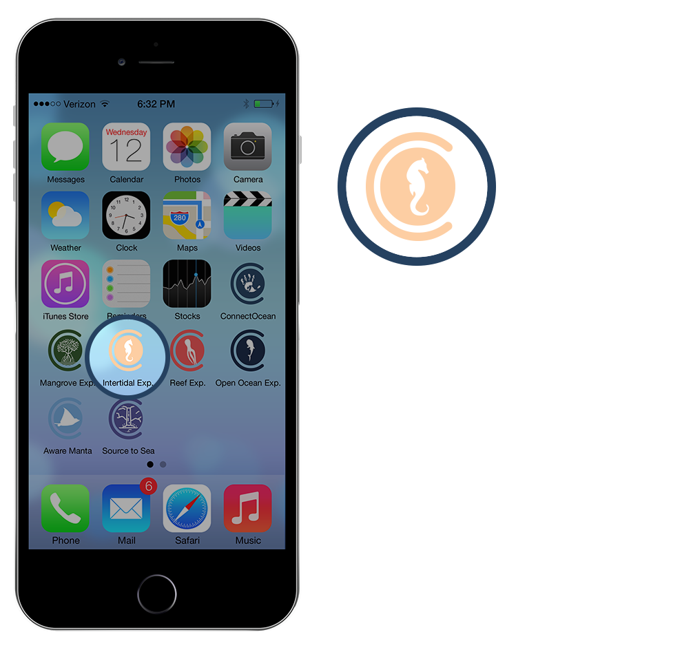
Intertidal Explorer
-
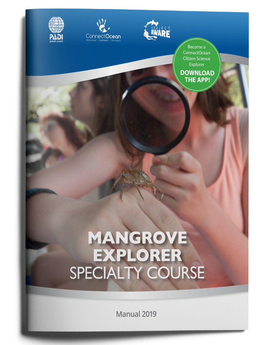
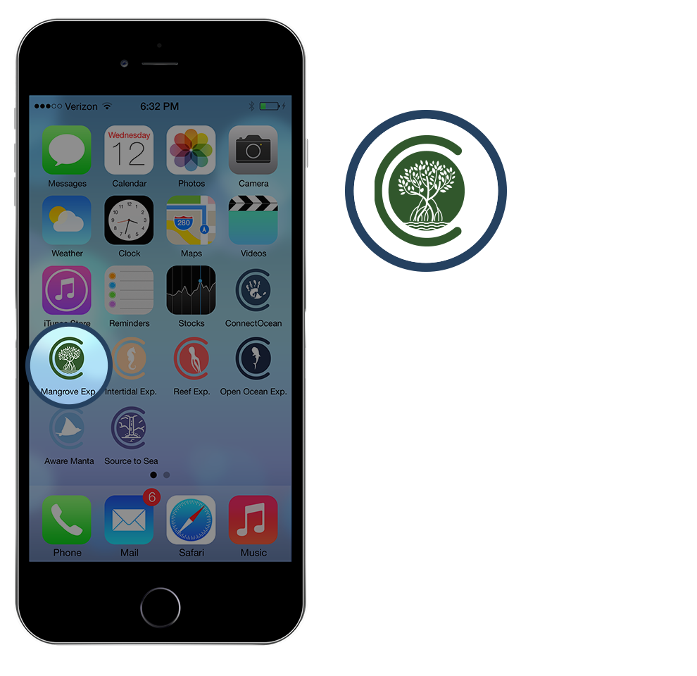
Mangrove Explorer
-
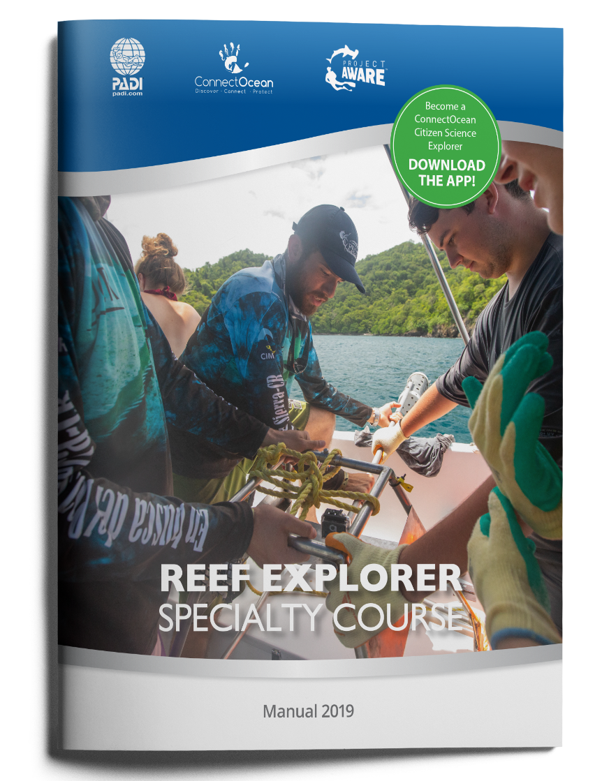
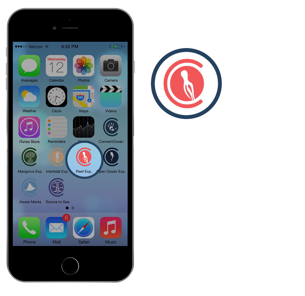
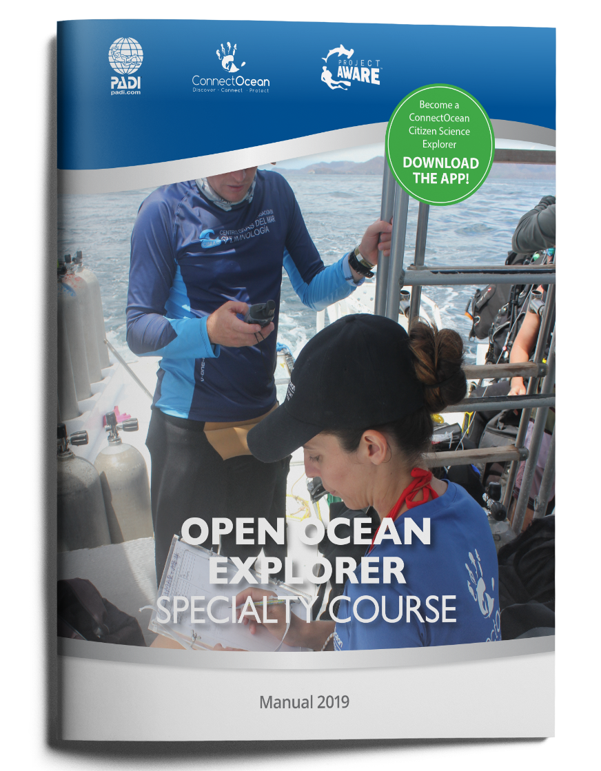
Reef Explorer
-
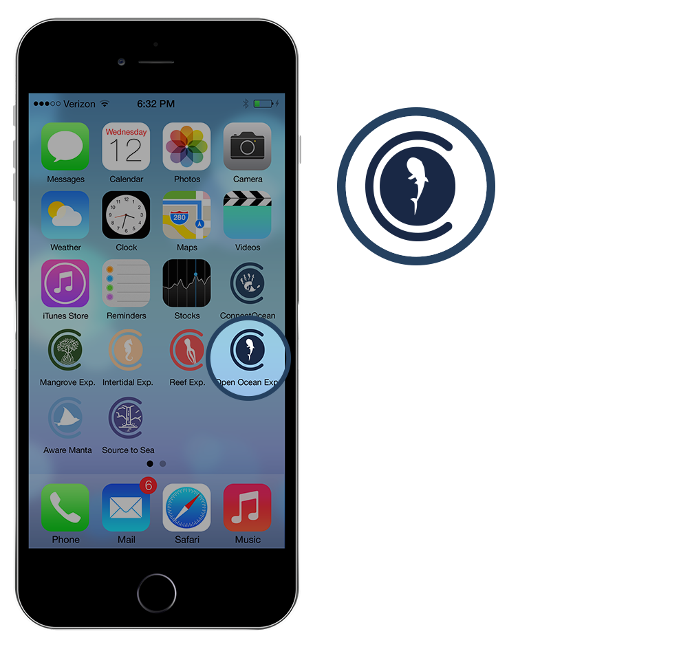
Open Ocean Explorer
-
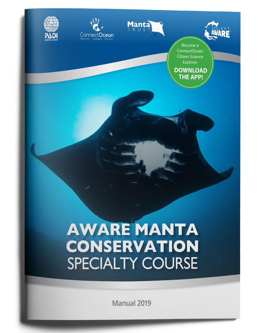
AWARE Manta Conservation Specialty
The Curriculum uses place based education techniques which requires hands on learning. The course can be taught on site in the respective ecosystems without having to be in a classroom setting. The courses are designed to teach participants the value and importance of each of the related ecosystems and engages participants in research through citizen science data collection.
STRATEGIC PLANNING STEPS:
CONNECTOCEAN CITIZEN SCIENCE EXPLORER PURPOSE AND MISSION
To define our Purpose and Mission the Curriculum and ArcGIS Platform engages participants to better understand:
-
The current state of our Oceans
-
Why research is important at global level
-
Why research is important at local level
-
What makes The ConnectOcean Explorer Program unique
-
What are the goals of our research
-
Who are the Stakeholders and Partners
-
What is our call to action
1. SOURCE TO SEA EXPLORER
2. INTERTIDAL EXPLORER
3. MANGROVE EXPLORER
4. REEF EXPLORER
5. OPEN OCEAN EXPLORER
6. AWARE MANTA CONSERVATION SPECIALITY
OUR TARGET AUDIENCE
Our goal is to enter a strategic partnership with PADI and Project AWARE to have all the courses accredited as standardised PADI/Project AWARE Specialities and offer the courses worldwide through dive centres and PADI Members.
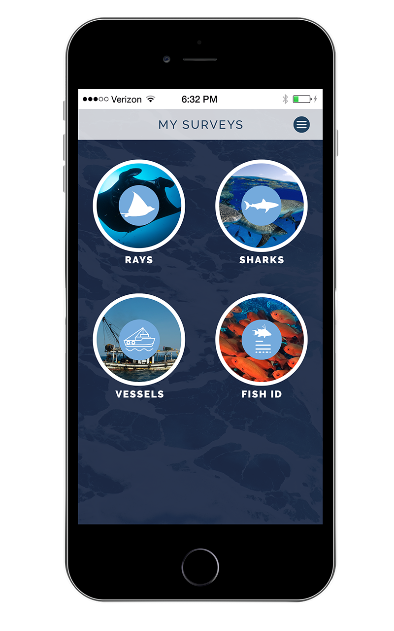
PADI Divers sign up for the CO Explorer Specialities. , Each speciality has its own corresponding app which is part of the practical application performance requirements. The App would be downloaded for each respective speciality and used to gather data for that related Marine ecosystem.
Each one of the courses will have their own set of data collection protocols where participants will gather data from the respective ecosystems and upload it onto a central GIS data base platform which we created. The platform is an ArcGIS data portal. A Geographical information system (GIS) is a framework for gathering and analyzing data. Rooted in the science of geography, GIS integrates many types of data. It analyzes spatial location and organizes layers of information into visualizations using maps and 3D scenes. Combining this unique capability with our Explorer Curriculum will allow us deeper insight into the data, such as patterns and the interconnectivity between them.This empowers us with the baseline data to then make smarter decisions in protecting these ecosystems or lobby for the creation of multi-use sustainable community no-take zones.
1. PADI/Project AWARE Divers
OUR TARGET AUDIENCE
The curriculum is designed to be hands-on with community-based service learning that focuses on marine ecosystems. The Educational programs combine ocean stewardship with STEM education initiatives, giving participants the opportunity to follow in the footsteps of real-time researchers, conservationists, and explorers. The program combines elements of exploration with environmental education and research/data collection, anchored by passionate mentors working within the STEM Industry.
It is a turn key STEM program that can be used to supplement mainstream STEM curriculum or be used as an extracurricular program at schools offered and facilitated through PADI Members and PADI Dive Centres.
These ConnectOcean Explorer Programs can also be embedded with a PADI Dive certification allowing participants to earn a PADI Open Water or Continued Education certification in tandem while participating in the Explorer Program.
2. Middle and High Schools participating in STEM Education Programs ,International Baccalaureate Programs and Duke of Edinburgh Awards.
A GOOD EXAMPLE...
-
WHERE DO WE START?
-
CONNECTOCEAN CITIZEN SCIENCE EXPLORER APP:
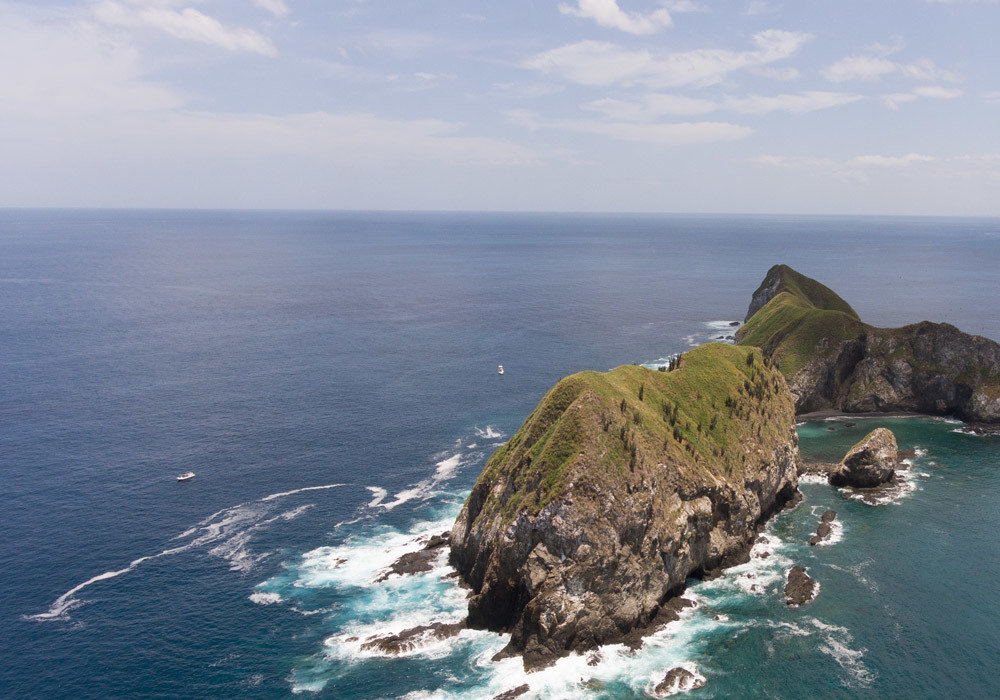
We are currently collaborating with local Researchers from the University of Costa Rica/CIMAR and The Ocean First Institute in Boulder Colorado to create a Marine Life Census around the Catalinas Islands here in Guanacaste, Costa Rica.
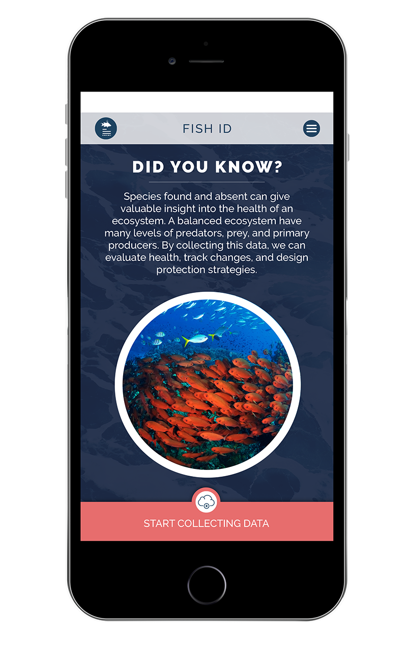
The data being collected from around the Catalina Islands is being uploaded onto this GIS platform by Citizen scientists through an app with the goal to build a baseline data base of species found and species absent.
HOW WE DO THIS?
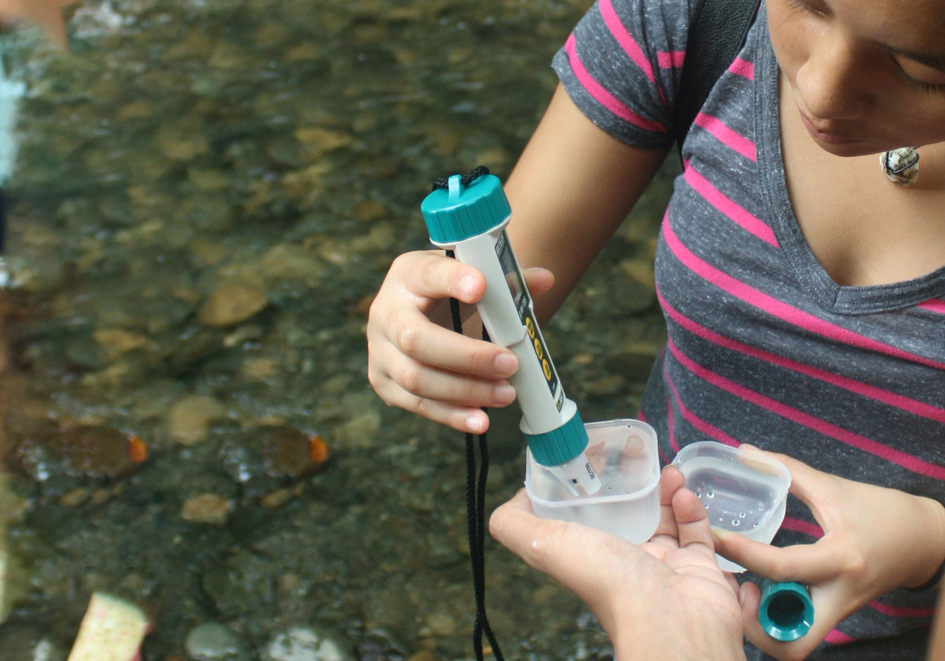
Our team of scientific advisors helped us create fixed data collection protocols that can be taught to citizen scientists. We incorporated these protocols into the Explorer Curriculum as well as into a Dive Today Briefing for divers diving with us. We created data collection field study slates for the following surveys:
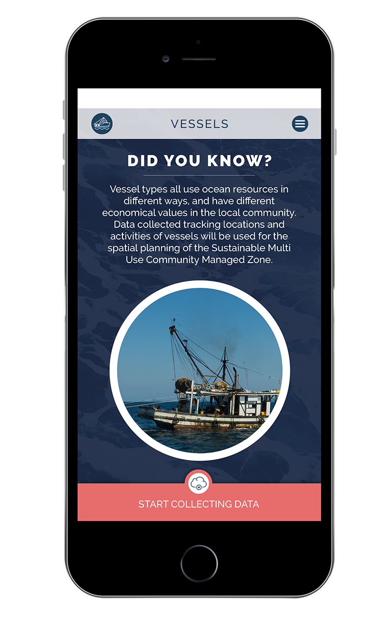
- A vessel survey which includes monitoring the activities around the Las Catalinas such as diving, recreational fishing, artesanal fishing, commercial fishing, long lining, and trawling.
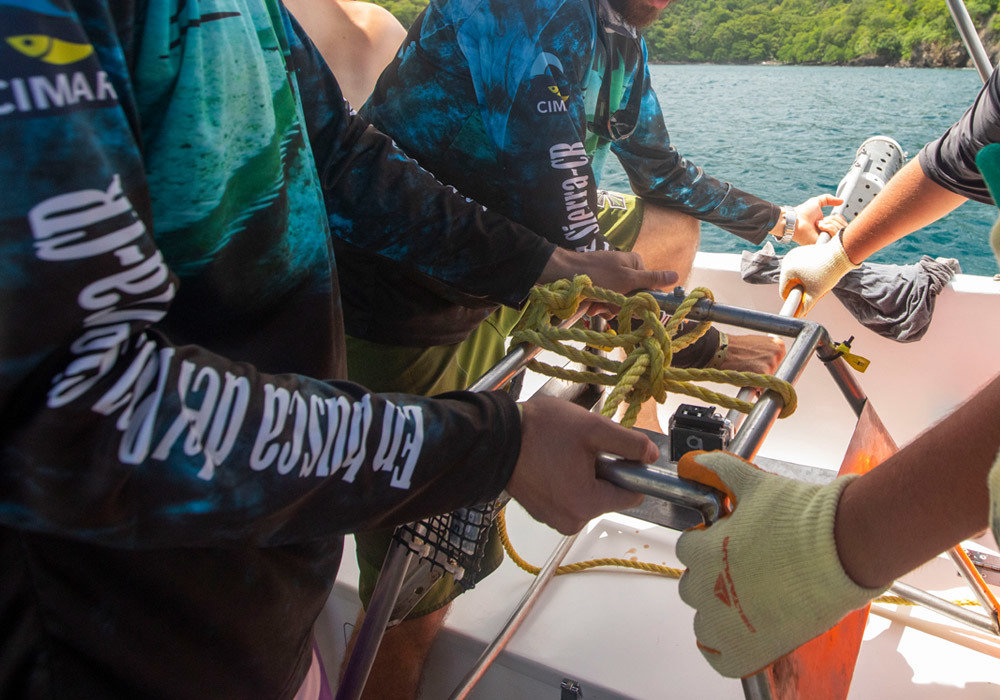
- BRUVS : Baited Remote Underwater Video Stations are used to survey fish sizes, abundance and diversity. With this we are working closely in conjunction with UCR/CIMAR adopting their protocols and uploading data from the BRUVS as part of our survey of population counts. We are also including an optional STEM project for schools to build their own BRUVS.
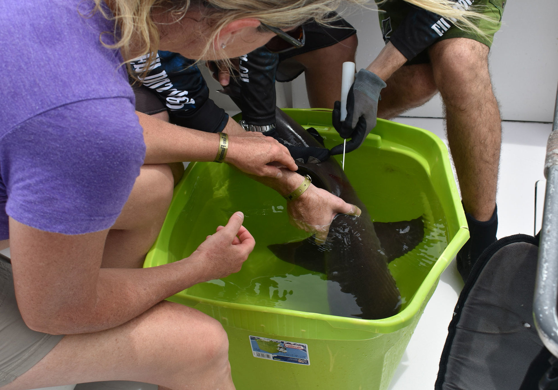
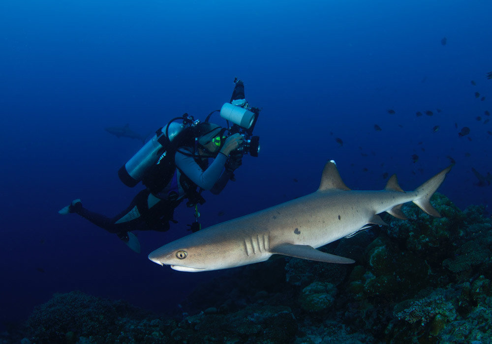
- A Shark and Ray Survey protocol using laser Photogrammetry.
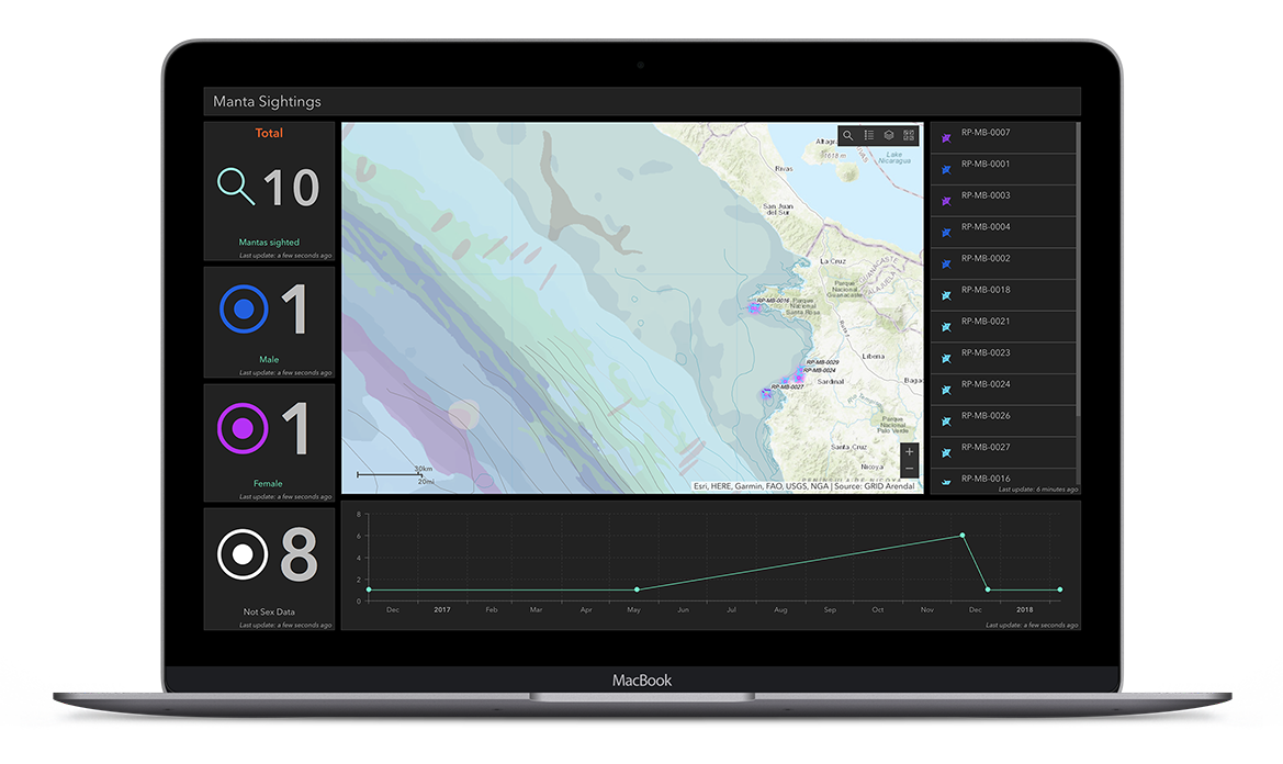
All of the above data is then uploaded on our GIS App either from a desktop version or on site, using the App from an android or IOS device with Geo location.
Through the GIS platform we can then see the complete spatial analysis through a visualized map or 3D. From those 3 sources of data one can make correlations by monitoring vessel activity and how it affects population counts and shark and ray sightings around the research site.
HOW WE DO THIS?
-
WHY IS THIS IMPORTANT?
-
THIS IS IMPORTANT
Imagine having this app available to divers world-wide. Any dive centre or community or group of divers that wishes to adopt a dive site or create a “Hope spot” within their local community can download this app and the data protocols and integrate that within their Discover Local Diving or Community Dive Education Programs. Each day they go diving they would gather data and add onto the GIS platform. The spatial analysis would ‘bank’ invaluable information about:
-
Ecosystems and Environment ( tie in with Mission Blue to help divers create “Hope Spots” or Multi Use Community Management No Take Zones)
-
Coral reef health and structure ( Possible tie in with Reef Check )
-
Mangrove assessment ( Tie in with Mangrove Watch)
-
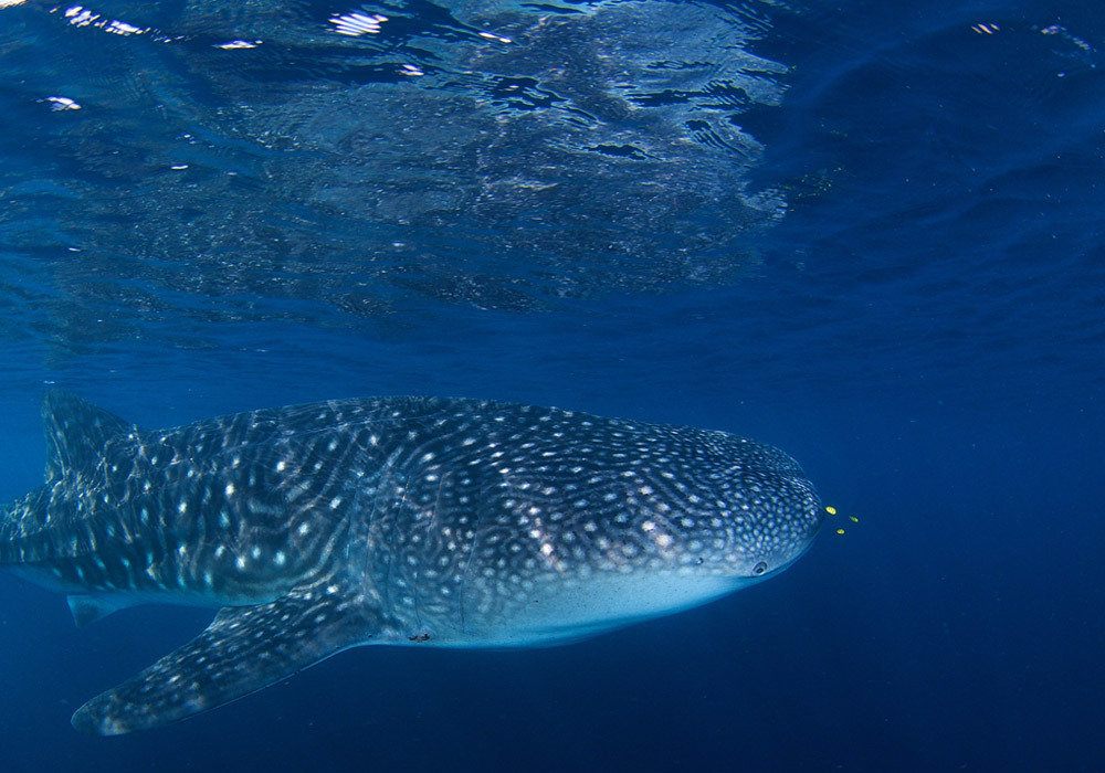
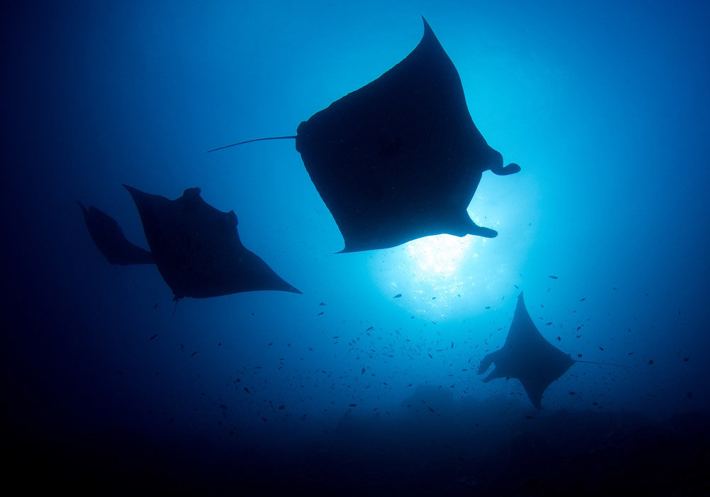
Coastal and pelagic animal tracking and marine mammal genomics ( ID the Manta in collaboration with the Manta Trust )
-
Marine debris mapping and tracking, especially in situ, as small plastics are not detectable with satellite imagery ( Perfect addition and tie in with the Project AWARE Marine Debri App)
-
Mapping and analysis of nearshore and estuarine capture of fisheries globally
-
Fish Population Habitat and distribution
THIS IS IMPORTANT
This information is vital and can contribute to the Ocean Health Index, an assessment tool set up by Conservation International that scientifically measures biological, physical, economic and social dimensions, all tied into the Ocean’s health.
GIS has been around for ages! The only difference now is that we are able to harness it into a Citizen Science program which, in partnership with PADI and Project AWARE, can empower and be delivered through the input of 25 Million certified divers!
You now have a powerful tool to measure ecosystems, empower communities and bridge research through education! Can you imagine what you can achieve world-wide if you had a million PADI divers participating in this! You would potentially have the largest Marine Citizen Science Program in the World!
Combining it with the education element lends itself to the possibility to have it implemented as a STEM education program in schools which in turn creates a massive diver acquisition possibility for PADI.
-
IN SUMMARY
-
IN SUMMARY
The Below Courses are all stand alone speciality courses with their own Citizen Science Protocols and own apps:
-
Source to Sea Explorer
-
Intertidal Explorer
-
Mangrove Explorer
-
Reef Explorer
-
Open Ocean Explorer
-
AWARE Manta Conservation Speciality ( in partnership with the Manta Trust)
IN SUMMARY
They perpetuate a continuity and all feed into the GIS platform.
If these courses can be developed as Project AWARE Courses and delivered through PADI you now have a powerful turnkey Citizen Science Program that can be delivered by millions of PADI Divers.
Link this with your Pillars of Change program and a strong call of action which ties in with your alliances and projects like Mission Blue, Reef Check, the Manta Trust, Marine Debris App, Adopt a Dive site. You now have a way to measure and visually see :
- How many hope spots created
- How many reefs surveyed
- How many mantas spotted
- How much marine debris and where it was
- How many and where the adopted sites are.
Citizen Science Explorer Program_Long
By Lapula Estudio
Citizen Science Explorer Program_Long
A Project of ConnnectOcean Conservation and Outreach. A division of the ConnectOcean Group. Las Catalinas, Playa Danta. Guanacaste, Costa Rica.