


North Point Geographic Solutions
North Point specializes in custom Geographic Information Systems (GIS) solutions development for government agencies, forestry industry, private organizations and individuals.
Python
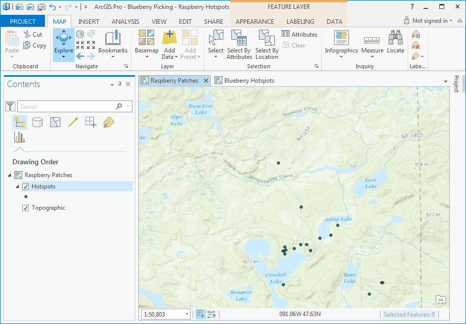
ArcGIS Pro
Python 2.7 vs. 3.4
Python for ArcGIS Pro
Mapping Module
www.codecademy.com/learn/python
Combines the best parts of ArcMap, ArcCatalog, and ArcGlobe
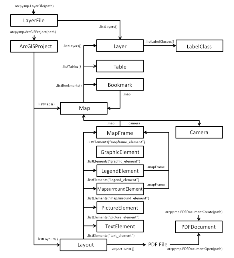
print "Hello Sam"print("Hello Sam")3 / 2 = 13 / 2 = 1.5# Create map document object
mxd = arcpy.mapping.MapDocument("CURRENT")
# Create data frame object
df = arcpy.mappingLisDataFrames(mxd)[0]
# Create list of layers in data frame
lyr_list = arcpy.mapping.ListLayers(mxd,"",df)
# Iterate through list and print layer names
for lyr in lyr_list:
print lyr.name
# Create ArcGIS Project object
aprx = arcpy.mp.ArcGISProject("CURRENT")

# Create map object
m = aprx.ListMaps()[0]

# Create list of layers in map
lyr_list = m.ListLayers()

# Iterate through list and print layer names
for lyr in lyr_list: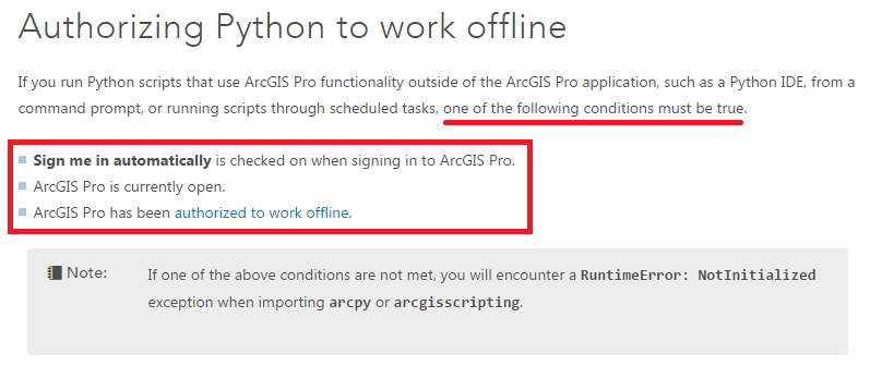
print(lyr.name)pro.arcgis.com/en/pro-app/arcpy/get-started/installing-python-for-arcgis-pro.htm
www.accounts.esri.com
py -3 python3script.pypython python2script.pysamg@northpointgis.com
218.720.67.47 ext 4
By North Point Geographic Solutions
For many years, ArcPy has been the “go-to” Python site package for geographic data analysis, data conversion, and map automation. With the release of ArcGIS Pro, users are introduced to the new Python 3.4 version of ArcPy. Like many changes to GIS software, the ArcMap to ArcGIS Pro transition is not without its growing pains. In this presentation, we will discuss the some of the common pitfalls encountered in the transition from Python 2.7 to 3.4, tips for utilizing the new ArcPy, and methods for configuring your computer to run standalone scripts for workflow automation.


