Title
Authors

Background
Geoinformatics / Geomatics / GIS*
- Introduction, Background, Aims & Objectives
- Geodesy
- Cartography
- Photogrammetry
- Geodata Analysis – spatial / temporal / interpolation
Current Trends in Geo Information / Geospatial Science / Technology
- Widespread applicability and advancements in location-based technologies, penetration of GNSS systems in precision applications, development of sophisticated sat-nav technologies
- GIS-enabled AR/VR; digital twins; convergence of mobile GIS and 3D technologies
- Indoor Mapping, UI and IoT
- High-resolution imagery and remote sensing, real time data, UAV’s
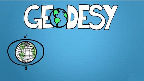
Geodesy
- Geodesy is the science of accurately measuring the Earth's size, shape, orientation, mass distribution and the variations of these with time.
- e.g. How high is Mt. Everest ? Why ?
- Measuring Groundwater/drought analysis
GPS / GNSS
- Satellite based pseudo time ranging, terrestrial
- Resolution and accuracy
- Orbits, atmospheric delays, clock offsets
- How precise can we be (project question) ?
- DGPS
- RTK
Cartography
- Art and science of map making
- Visual Representation based on information
- Requires:
- Projections (see https://gist.github.com/mbostock/29cddc0006f8b98eff12e60dd08f59a7 or https://observablehq.com/@d3/projection-comparison or True Size - https://www.thetruesize.com/)
Cartography
- Representation (colour, distributions)
- Summary at bit.ly/fakemaps
- Project on representation and perception
Thanks .. Questions ..
- Thanks .. questions ..
Remote Sensing Photogrammetry
Drone Photogrammetry
- Structure from Motion (SfM) – based on Scale Invariant Feature Transform (SIFT) (Lowe, 1999)
- Large variety of drones, payloads possible
- Project – getting the most out of drone based photogrammetry
Links .. projects ..
- Examples / Suggestions
- RTK – GPS - the need for higher, and continuous precision
- https://earth-planets-space.springeropen.com/articles/10.1186/BF03351948
- http://www.gnss-pnt.org/symposium2008/abstract/oral/B12a/7-727-a.pdf
- https://agupubs.onlinelibrary.wiley.com/doi/abs/10.1029/96JB03860
- Cartography – (mis)representation and perception of geospatial information
- https://www.elsevier.com/books/information-visualization/ware/978-0-12-381464-7
- https://content.taylorfrancis.com/books/download?dac=C2013-0-22546-7&isbn=9781317891659&format=googlePreviewPdf
- http://journals.sagepub.com/doi/pdf/10.1177/0309132507077082
- Photogrammetry and Remote Sensing - drones and their applications in earth sciences
- http://dx.doi.org/10.1016/j.scitotenv.2015.01.109
- https://linkinghub.elsevier.com/retrieve/pii/S0169555X13001736
- http://linkinghub.elsevier.com/retrieve/pii/S0169555X13001736
Planetary Data Sciences
- Prof. Angelo Rossi
- Links to two interesting talks:
- https://aprossi.eu/content/sa2023
- https://aprossi.eu/content/gmap
IFOODis Workshop Bremerhaven 2024
By Vikram Unnithan


