Data Sourcing

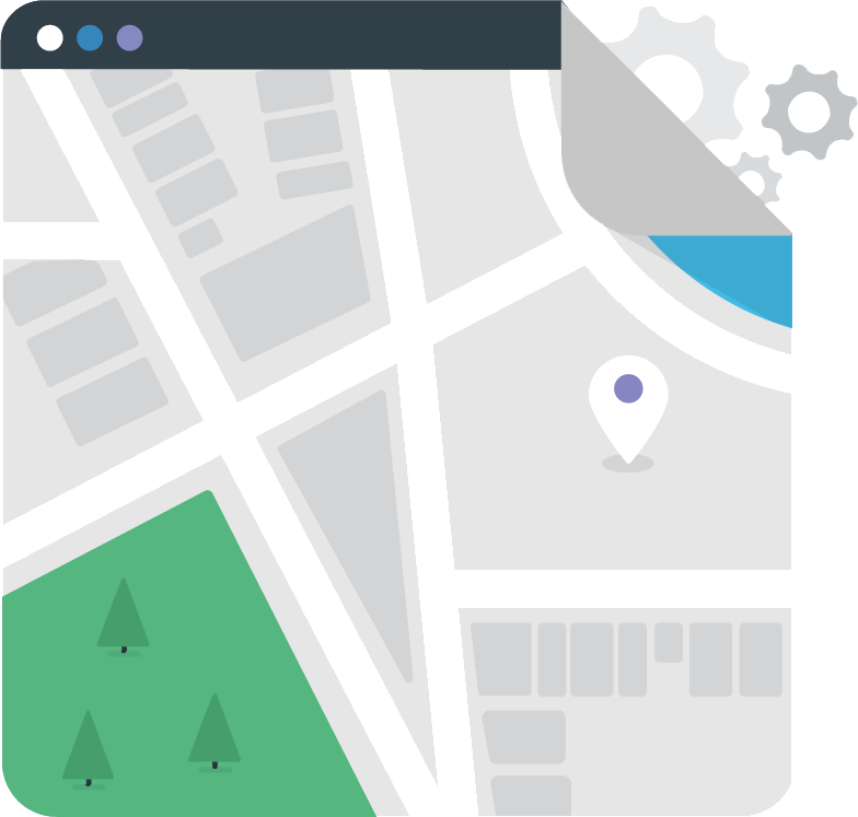
is an open source mapping platform
for developers to create custom designed maps


for web or mobile apps


API & SDK
Maps
Hosting
Maps
Satellite
Streets
Terrain

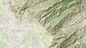
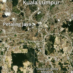
Satellite
Consists imagery from various sources
- Low res - NASA MODIS satellites
- Med res - NASA/USGS Landsat
- Hi res (0.3m-2m) - DigitalGlobe
- Aerial imagery (~30 cm) - DigitalGlobe, Government, other public sources

Terrain
Consists contour & hillshades from various sources
- Global 30m pixel spacing - Shuttle Radar Topography Mission-Level 2 (SRTM-2) from US Government
- US & EU 5m pixel spacing - NEXTMap® from Intermap®
- More detailed spacing from other open sources around the world

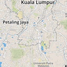
Streets
Consists streets and other features from OpenStreetMap
Among layers in Streets:
- landuse
- waterway
- water
- aeroway
- barrier_line
- building
- landuse_overlay
- tunnel
- road
- bridge
- admin
- country_label_line
- country_label
- marine_label
- state_label
- place_label
- water_label
- poi_label
- road_label
- waterway_label
- housenum_label
The Free Wiki World Map
OpenStreetMap (OSM) is a collaborative project to create a free editable map of the world.
Licensed under Open Database License (ODbL),
anyone can Use, Edit and Share OSM data
OSM main source of map updates are solely from contributors
They are either
- Individual contributors
- Communities/Organizations
- Government departments
Government, communities & organizations usually able to provide large scale map imports into OSM (Import Catalog)
Contributing to OpenStreetMaps
Edit using editing tools
iD - Official OSM web browser editing tool

JOSM - Desktop application
Contributors are advised to edit the map from their own memory, GPS track or using aerial imagery
Potlatch 2 - Flash application replaced by iD

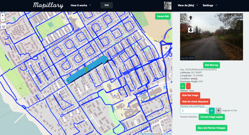
Using Mapillary
Mobile apps that allow users to upload GPS track & geotagged images
Copyright & Quality Control
Restricted Update Sources
- Google Maps, Google Satellite, Google Earth and Google Street View
- Waze
- HERE Maps
- Geodata from Wikipedia
- Wikimapia
- Malfreemaps/Malsingmaps
However user are allowed to use the sources to validate their memories
Microsoft has given specific permission for OSM users to use their data
Vandalism Control
Changeset focused
Changeset focused detection relies on scanning changesets for nefarious behavior by examining the metadata of the changeset and perhaps the actual objects or nature of tags used. One common method employs limits on the amount of objects edited, added, or deleted.
User focused
User focused detection looks at the editing character of the individual. Did a user make 300 edits within 10 minutes of joining? Are all edits of a new user deletions? This detection aims to catch the behavior of the individual instead of the characteristics of the objects.
Mapbox Data Sourcing
By hizumi