London house prices: get rich or default trying
(Jonas, Leto, Javier, Mateusz, Naomi, TASSOS)
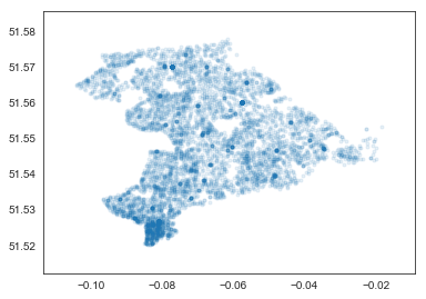
Data
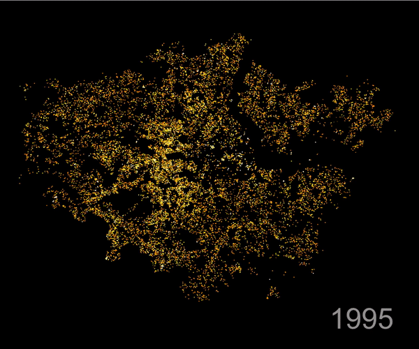
Prices of all houses sold in five London districts: 1995 - 2014
Objective
- Mapping neighbourhoods of desirability over time
- Is the road network more predictive than a distance network?
- How do other factors help predict prices (e.g., crime, schools, transport, winter workshop locations etc.
Spatial model
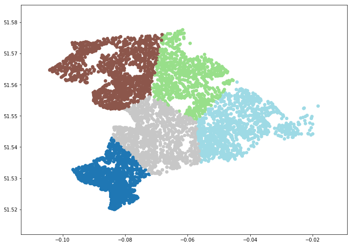
K-means
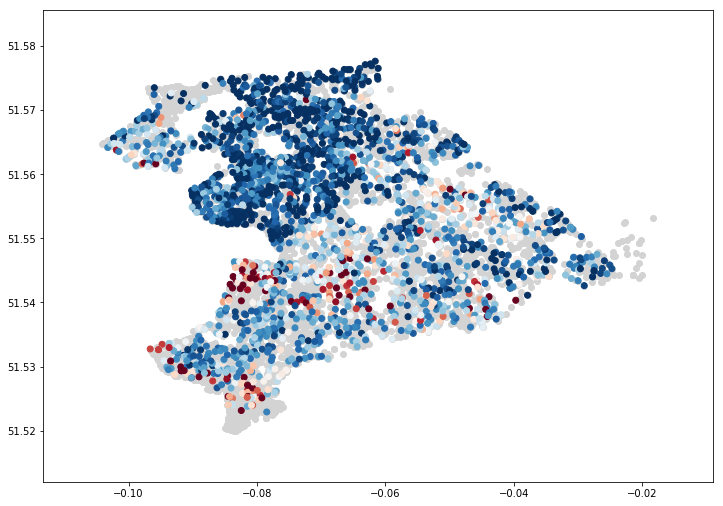
price (red = higher)
what are the nodes?
what are the edges?
Postcodes (Street segments)
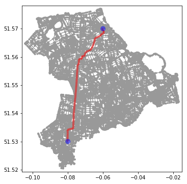
Shortest paths through roads
ROAD NETWORK
challenges
- Houses are identified by postcode
- Only the GPS centroid of the postcode is known
- →Not mapped to street network
- ~20,000 postcodes → 400 million possible pairs
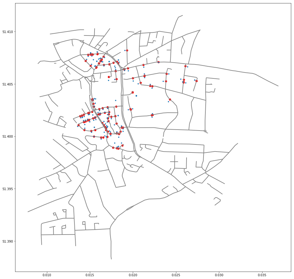
Blue: Postcode centroids. Red: Imputed postcode position in street
map matching
Find if two postcodes are adjacent:
- Identify potential candidates: Find all postcodes within 100 meters of each other → 70,000 pairs (7,000 postcodes)
- Use OSM to trace the route between each pair of postcodes
- Discard routes if a subroute is contained → 20,000 pairs
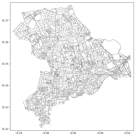
Postcodes
Road networks
Route between postcodes
map matching
Road network (OSM)
Imputed postcode network

network-based model
hypothesis testing:
- Does the street network provide more information than spatial information alone?
YES (we hope)
NEXT STEPS

Develop models
london_housing
By Javier GB


