Building a crowd you can trust
with Visit Flanders and OpenStreetMap
Why?
By Jos Pyck
VisitFlanders
2020 - 2021: during Corona pandemic and lockdowns hiking & cycling was the only possible leisure activity
➡ Huge increase in online cycling and hiking route planners (e.g. wandelknooppunt.be: 530.000 in 2019 ➡ 1,3 million unique users in 2020, +155%)
➡ broadening of the target group eg families with young children
➡ different needs in the route planning proces because of the lockdown
- public toilets (closed horeca)
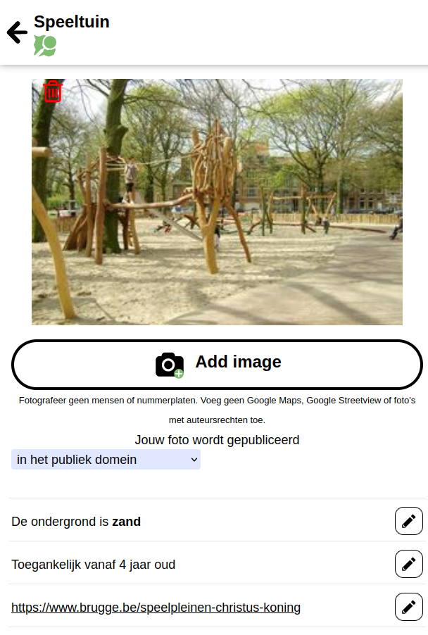
- playground
- charging locations for e-bikes
- picknick tables
- ...
Let's go 2 years back in time
- The tourist governments didn't have the missing POI data to share as open data for route planning apps
- The data is spread over different provinces, municipalities, agencies,...
- The data is stored in various formats with different attributes
OpenStreetMap to the rescue
with a specialized survey tool
(More about this later)
But how to get citizens, municipalities and institutions contributing?
...because the data quality of the POIs varies a lot from region to region
The why of the POI:
- through a clear message: "data from hikers for hikers & data from bikers for bikers
- through a short campaign movie with the right face.
Sam De Bruyn
... we kept it simple
- was spread through the communication channels of the provinces
- call for 300 Flemisch municipalities to participate
- niche press
- Vlaanderen Vakantieland and other touristic social media channels
- hiking and cycling organisations (Grote routepaden, Cycling Vlaanderen, Pasar,...)
- Regionale Landschappen...
Campaign 'Pin je punt'

(More about the results later)
How?
By Pietervdvn
the technical story of Pin je punt
Open
StreetMap
Database with geodata
Editable by everyone
Usable by everyone
Open
StreetMap
Community of people
Various programs to edit
Various data users
Various data interests
iD? JOSM? Vespucci?
MapContrib? StreetComplete?
Overpass? Changeset? Way? Point? Relation? Discussion? Mailing list? Wiki? Tag?
WFS? WMS? Slippy maps? QGIS? Vector tiles? Key? Amenity? OsmAnd? Maps.Me?
Confusing for new contributors
MapComplete
Map viewer and map editor
Easy to use
Many maps, each with a specific focus
MapComplete
Map viewer and map editor
Easy to use
Many maps, each with a specific focus


Existing datasets?
Quality and freshness of the source dataset?
Duplicates?
Existing datasets?
Copy-paste into OSM only if of excellent quality and accuracy
We did setup a process where community members
review import candidates

Existing datasets?
Reusable tooling was built for Toerisme Vlaanderen which
- Loads a dataset
- (Helps to) review the data
- Filters away duplicates
- Creates a map note on OSM
Every layer will also automatically detect these "import candidates" and show them
Results
Campaign
Launched 8th of march 2022
Data collection in Flanders from Knokke to Maaseik
1100 new points created
85 points reviewed via MC; 135 via other means
+ 400 directly imported; ~1000 discarded as already existing
560 images added
4200 attributes added
Campaign

(every pin is a set of edits)
Reuse
By Seppe Santens
(Westtoer)


Web Feature Services
➡ making the data easily usable for GIS professionals

Learnings
- Maintaining high quality datasets is hard work
➡ Can and should the government collect all interesting data itself?
- Many hands (can) make light work
➡ Have no fear of reusing crowdsourced data instead of building your own database
- Focus on reuse is still new for governments
We hope that Pin je punt can change minds in public sector
... it changed minds in the tourist sector
The future is bright!


Building a crowd you can trust with Visit Flanders and OpenStreetMap
By joost schouppe


