


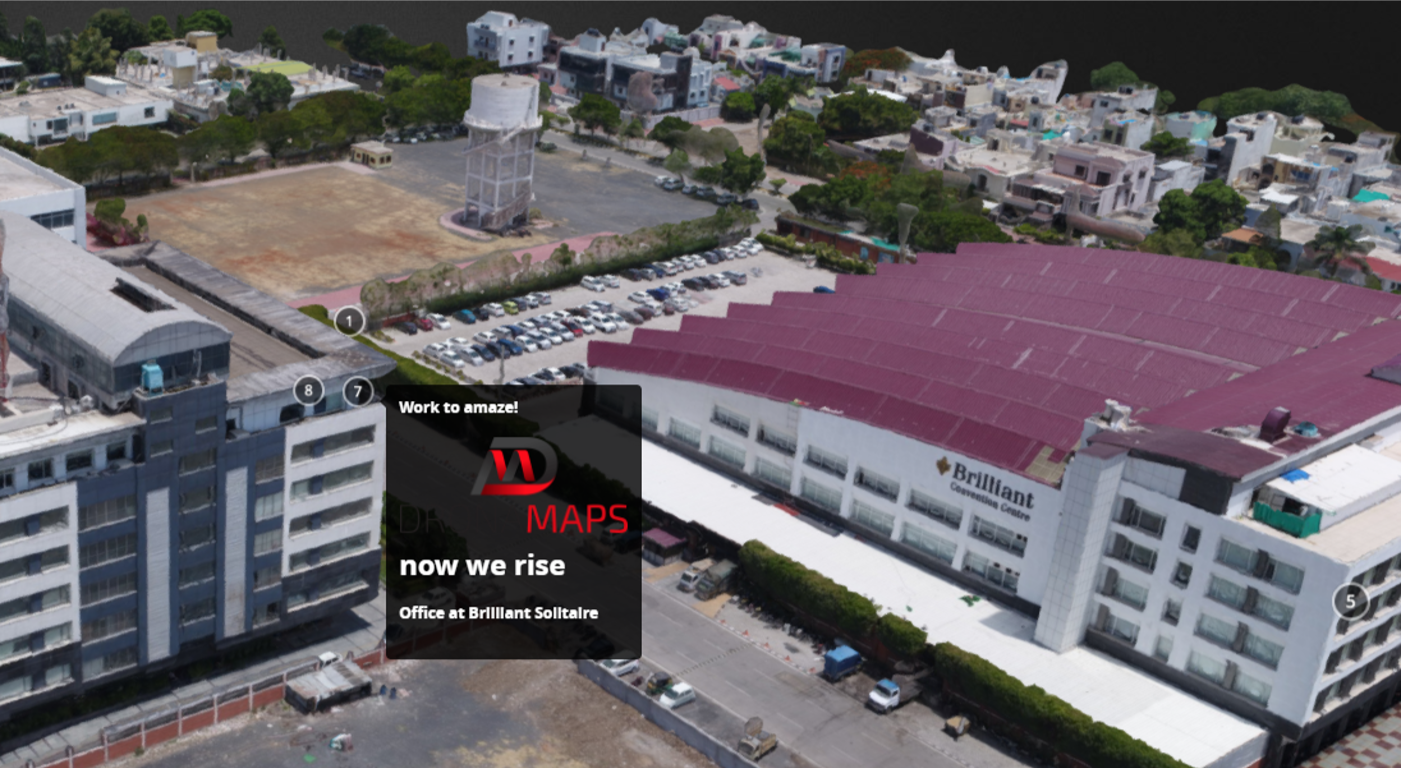
DronaMaps recreates the world around us in centimeter level 3D, both indoors and outdoors.

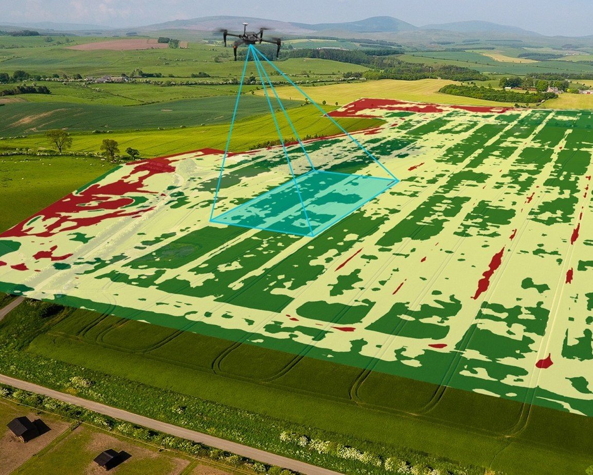
Precision Agriculture
Construction

Industrial Infrastructure

Public Infrastructure
Real Estate

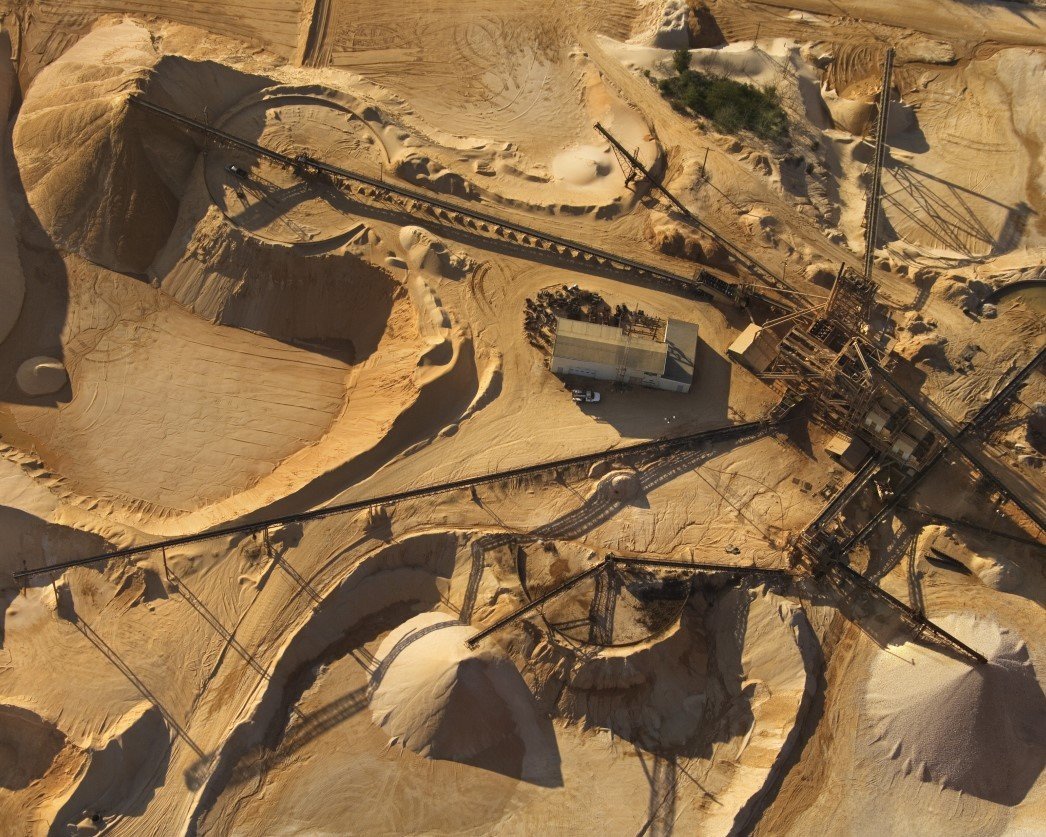
Mining and
Aggregates

Beneficiaries

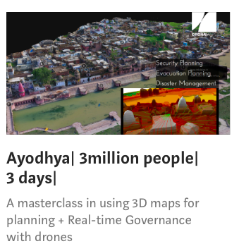
Other Notable Projects
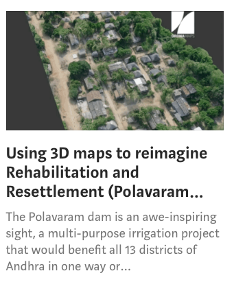
Pipeline Planning in Lucknow (UP)
Analytics at
Centimeter Scale
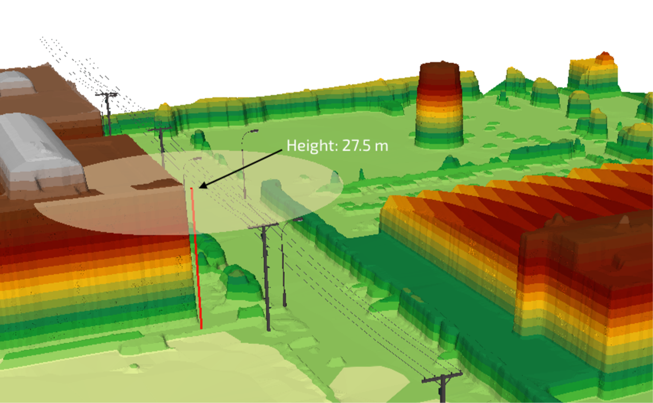
Photogrammetry
Preconceived Intelligence
Depth
Models
Vision: Recursive Mapping
Order to Delivery


Operations
Processing
GIS Analytics
Web Delivery
R & D

-
Flight Planning
-
Flight Operations
-
Data Collection
-
Data Validation
-
Upload
Proprietary pipeline optimised for large-scale data.
Internally developed Advanced computer vision and neural network algorithms to extract relevant data from the maps
Applications
Sales & Marketing


AMC
Meet the Squad


Utkarsh Singh
Ayushi Mishra
Sajil KR
Raghav Palriwala
Founder & CEO
Director of Strategic Partnerships
Director of
Geospatial Intelligence
Chief Strategy Officer
Johns Hopkins
IIT Bombay
IIM Indore
Johns Hopkins
Komal Premchandani
Chief Operating Officer
IIM Indore


Niloy Jain
Product Manager
IIM Indore


Intel
By DronaMaps Private Limited


