WTD Drone Program
We Came, We Flew, We Mapped..
Peter Keum, GISP
Drone Program Lead/GIS Analyst
October 2026
Gwangju Instiute of Science & Technology (GIST), South Korea





CUGOS

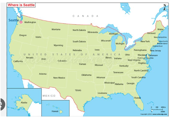
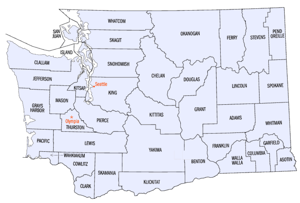
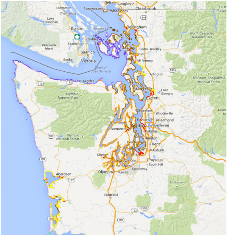
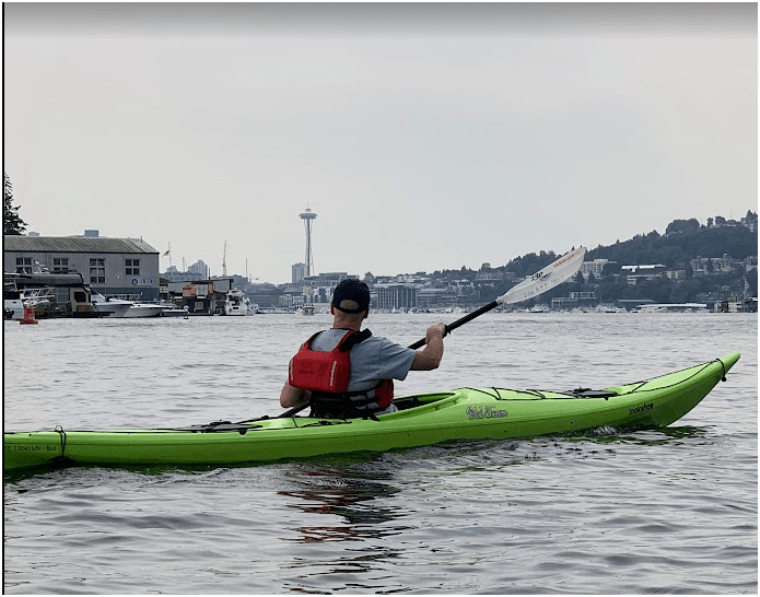
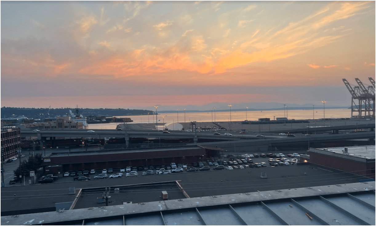
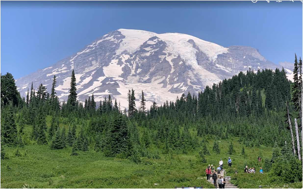
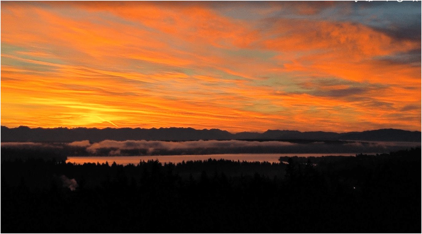
King County of Washington
- 2.3 Million People (230 만명)
- 12th Populus in the US
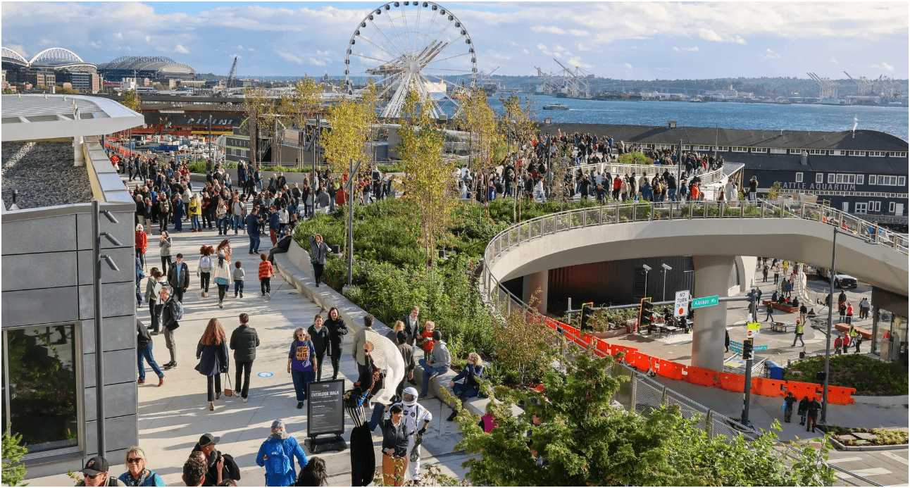
- Seattle is the Most populous city in the State
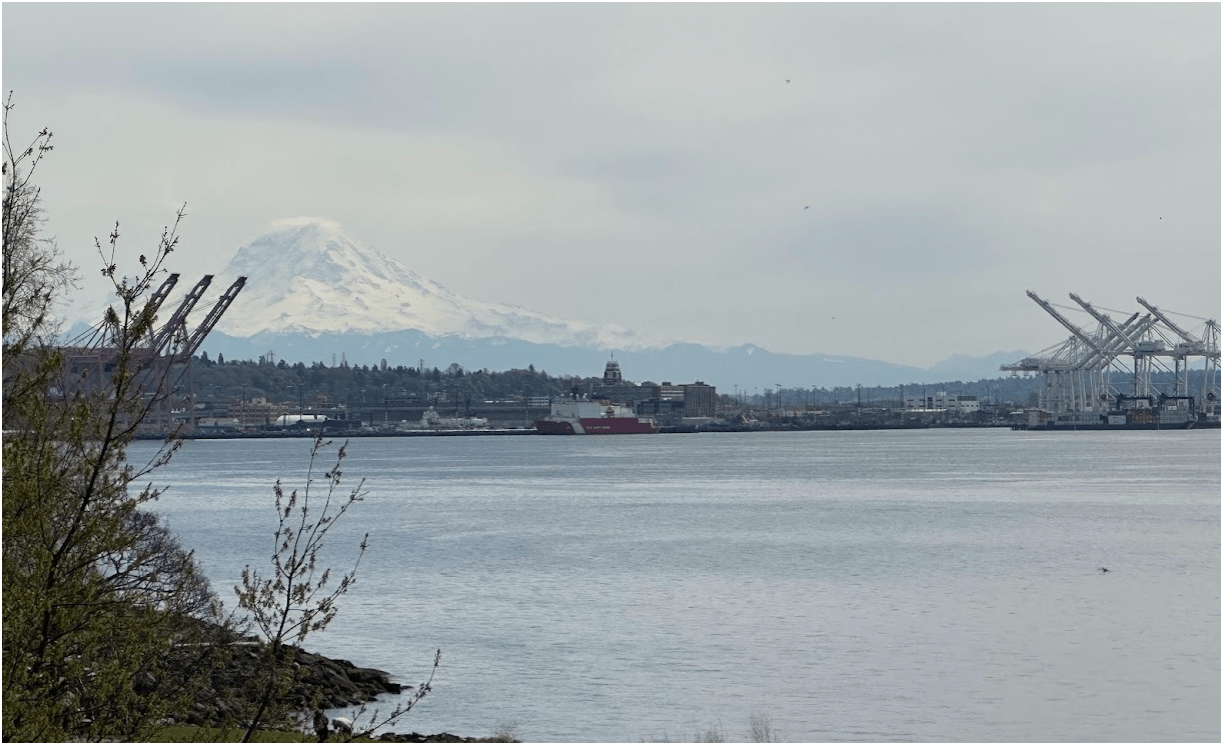
From Buzz to Business
- Quick History
-
Where are We Now:
- Hardware/Software/Pilots
-
Things We've Done and Doing:
- Integration of Drone with GIS
383
2,000,000
(2 Million)
15,000
178,000,000
(178 Million)
Guess ??
1억 7,800만
200 만
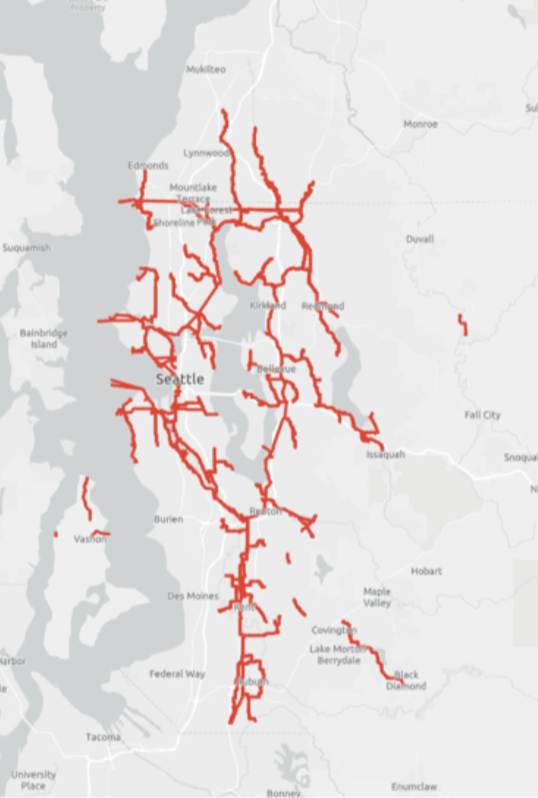
383 Miles
of Pipe
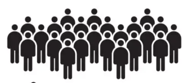
2,000,000 (2 Million) People / 200 만명
15,000 Trucks
178,000,000 (178 Million) MGD (Million Gallons/Day)
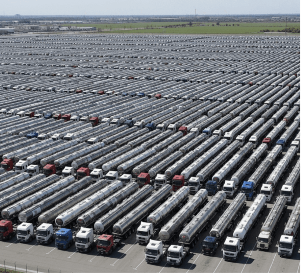

6억7,300 만 liter
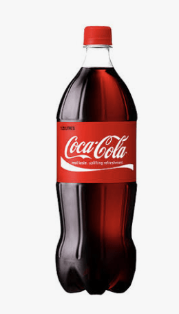
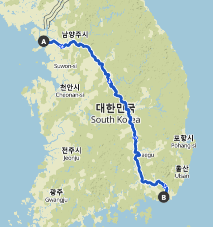
616 Km

King County Wastewater Treatment by Numbers
-
2 million residents
-
34 Agencies
-
424 square miles
-
383 miles sewer pipeline (2.5 inch to 14 ft)
-
74 facilities (PS & RS)
-
3 Treatment Plants: 180 MGD ~ Max. 460 MGD

Seattle, WA --> Medford, OR
Brightwater TP
King County Wastewater Treatment by Numbers
- 200 만명, 2 million residents
-
34 Agencies
-
424 square miles
-
383 miles sewer pipeline (2.5 inch to 14 ft)
-
614 km of sewer pipleline
-
74 facilities (PS & RS)
-
3 Treatment Plants: 180 MGD ~ Max. 460 MGD
-
~ 680,000 (68 만) cubic meters per day (𝐦𝟑/𝐝𝐚𝐲) to 1.7 million (170만) cubic meters per day (m3/day)
-
$5 Billion ~ 6조 6,600억 원
Four River Bike Trail (633 km)
Seoul --> Busan

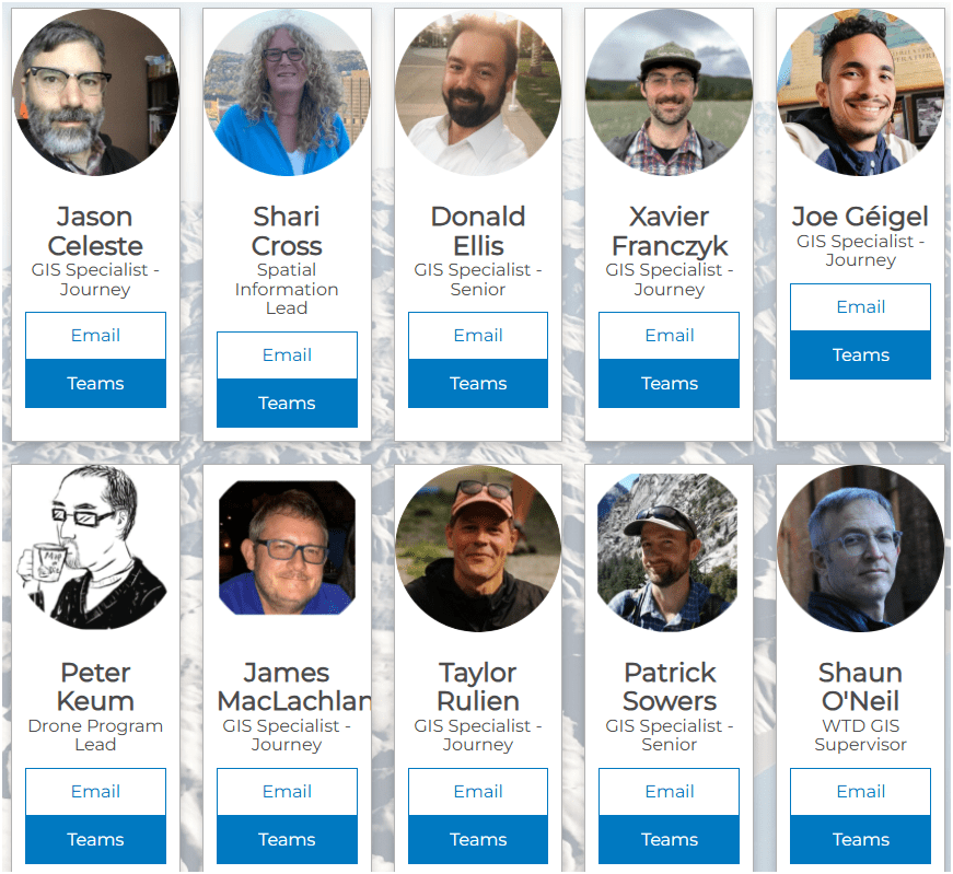
WTD GIS Team

-
10 GIS Specialists
-
4 FAA Certified Pilots
-
3 Studying to be Certified
Supervisor
WTD GIS
Maintain Sewer GIS Data
-
FIRS (Facility Information Retrieval System) Data
- Maintenance Hole
- Pipes
- Pump Stations
- Regulator Stations
- Treatment Plants
- Outfalls
- Flow Monitors
- CP Stations
- Connection Points
- Site Plan Data
- 3D Models
- Drone Collected Data
- .... many many more

WTD
GIS
DATA
GIS Data:
The core of a GIS is its Database
BUT.....There are 17 county agencies support
King County GIS Data Library System
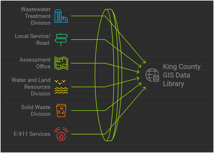
WTD
GIS Data:
The core of a GIS is its Database
So Let's Dive in!
RPAS - Remotely Piloted Aircraft System
FAA Definition: Unmanned Aircraft (UA) system that is operated by a pilot via ground control or on-board computer.


RPAS Categories
Small
- Size: 1 - 2 meters ( 3 ft - 6.5 ft), < 55 lbs.
- Control: Visual line of sight, Radio control
- DJI M3E, M400, ScanEagle
Medium
- Size: Equivalent to a car, ~ 1000 lbs.
Large
- Size: > 30,000 lbs.
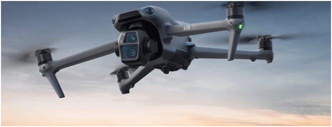
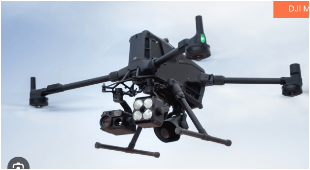
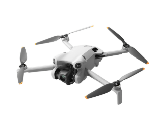
RPAS as Platform
Multi-rotors
Fixed-wing & VTOL

- Shorter flight time (< 45 min)
- Cover smaller area
- Highly maneuverable
- Less expensive
- Access to confined spaces
- Long flight time (+ 40min)
- Covers very large area

(vertical take-off & land)

Sensors Payload


Multi-spectral
Thermal Infrared

Lidar Camera

High resolution digital camera (100 MP)

Lidar Camera
Lidar Camera
Methane Gas Dector
1. Aircraft + Sensor (Data Collection)
2. Data Processing & Analyzing (GIS)
3. Information Products
=
+


1. Platform + Sensor (Data Collection)
2. Data Processing & Analyzing (GIS)
3. Information Products


Standard Drone Workflow

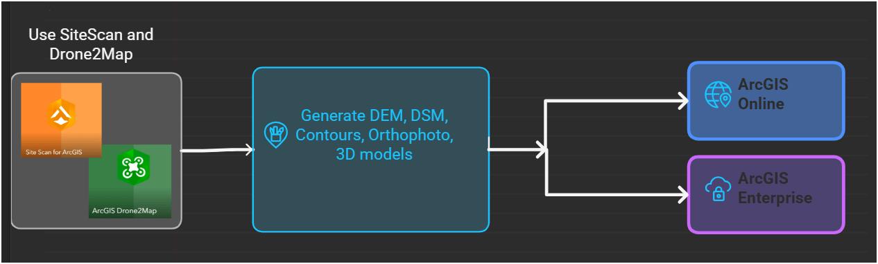

Drone

GIS
Great Combo?
&
Great combo !
GIS & DRONE


FAA Regulations - Where are we now?

Regulations
Commercial/Governmental
FAA Part 107 Rule, July 2016
-
Need FAA Remote Pilot Certification (Pilot license NOT needed)
-
~460,375 - Remote pilots certified (Oct. 2025)
-
433,407 - Commercial Drones Registered (Oct. 2025)
- $175 to take the test
-
Fly under 400 feet above ground level
-
Not to fly < 5 nautical miles around airport
-
Aircraft < 55 lbs.
-
Fly during daytime or night time operation with appropriate lighting
-
Fly visual line of sight ( VLOS)
-
No flight over non-participating people
- ...and many, many more.....
FAA Part 107 Rule
-
Be at least 16 yrs old
-
Pass the initial aeronautical knowledge exam
-
Online recurring training every 24 month
-
Understand recreational flying requirements
-
Take TRUST
-
Online recurring training every 24 month
DJI Mavic 2 Pro (1)

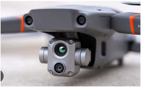
Mavic 2 Ent. Adv. (1)

Mavic 3 Ent (2)
2021
2022
2023
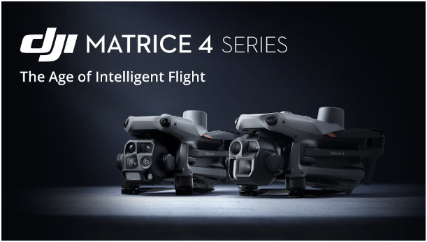
Matrice 4 Ent. (1)
2025
Total: ~ $27,000
Current Hardware
DJI Mavic 2 Pro < $1,800 (Retired)

DJI Mavic 2 Pro Ent. Adv $6,500
DJI Avata $1,300
Mavic 3 Ent (2x)
$3,800
20 MP/ 56x zoom
20 MP
12 MP/ 32x zoom
+ Thermal

Matrice 4 Ent
~ $5,300
Latest Hardware
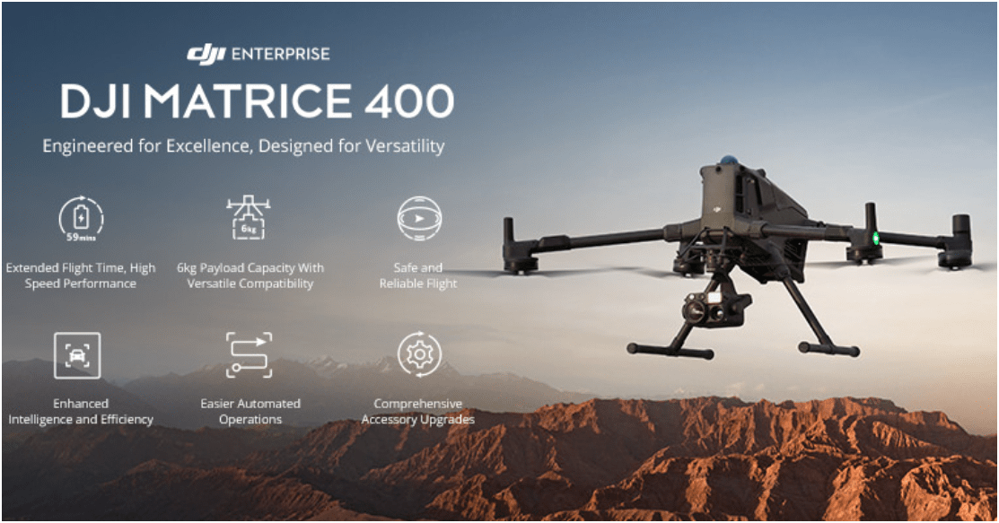
$11,000
All WEather
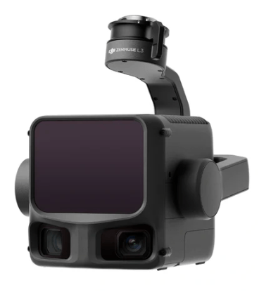
L3 - lidar
~ $ 18,000
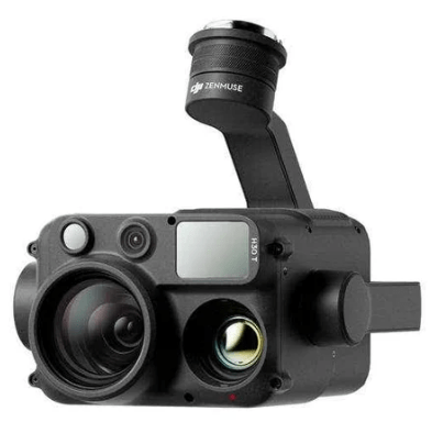
H30T - Thermal
~ $ 12,000
KC Wastewater Treatment Drone Program

People
+
Technology
+
Organization
=
Drone Program
WTD GIS Drone Program
Building Drone Program
E3 S3
-
Small
-
Share
-
Structure
Easy
Efficient
Effective
HOW?
WHY?
Why Use Drones?
1. Easy - Simple with little effort

Automatic
Repeatable
E3
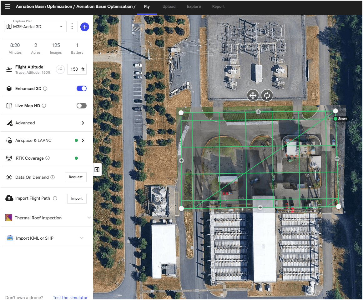
1. Easy - Simple with little effort
Automatic Repeatable
Brightwater TP - Aeriation Basin Opt. Construction
Flight Control App
Automate Flight Planning - Fly Consistently for overlapping images
Can fly manually but it's like mowing with scissors


Why Use Drones?
2. Efficient - Results without waste
Safety of staffs & Save Time & $$

E3
Data Processing - Efficient

- Cloud Storage & Cloud Data Processing
- Flight Planning from Desktop - fly on Mobile (controller)
- Cloud storage/Cloud Processing
- Centralized System
- Project Deliverables
2. Efficient - Results without waste
Safety of staffs & Save Time & $$
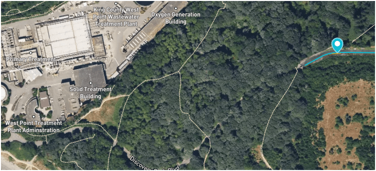
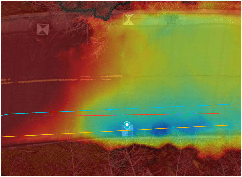
West Point
Treatment
Plant
Discovery Park
Blvd
Dec 2024
E3
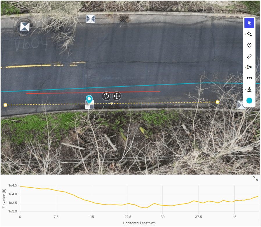
Why Use Drones?
3. Effective - Producing Results


E3
0.50 in/px
June 2025
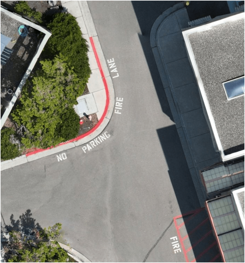
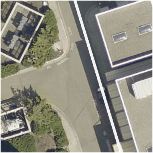
6x time the resolution
(from KC Aerial Imagery - June 2025)
- Environmental Monitoring
Examples - Effective
August 2022
March 2022


April 2023
Construction Site Monitoring
3. Effective - Producing Results
E3
- Construction Site Monitoring
Examples - Effective
West Point Treatment Plant Raw Sewage Pump Building
Ship Canal Water Quality - TBM
3. Effective - Producing Results
E3
Inspecting Inside Digester (2024)
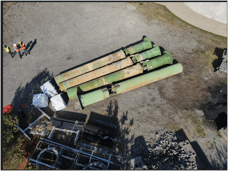
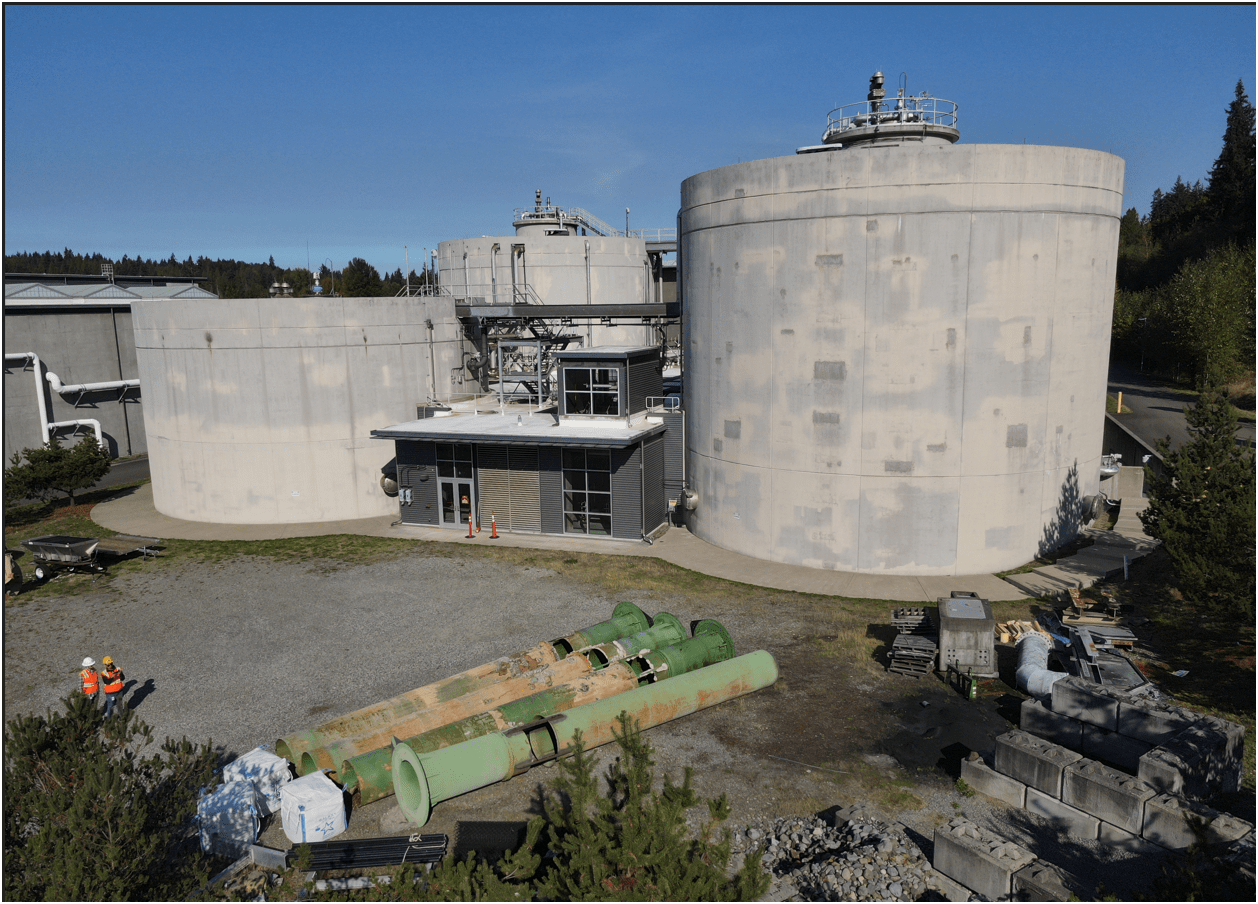
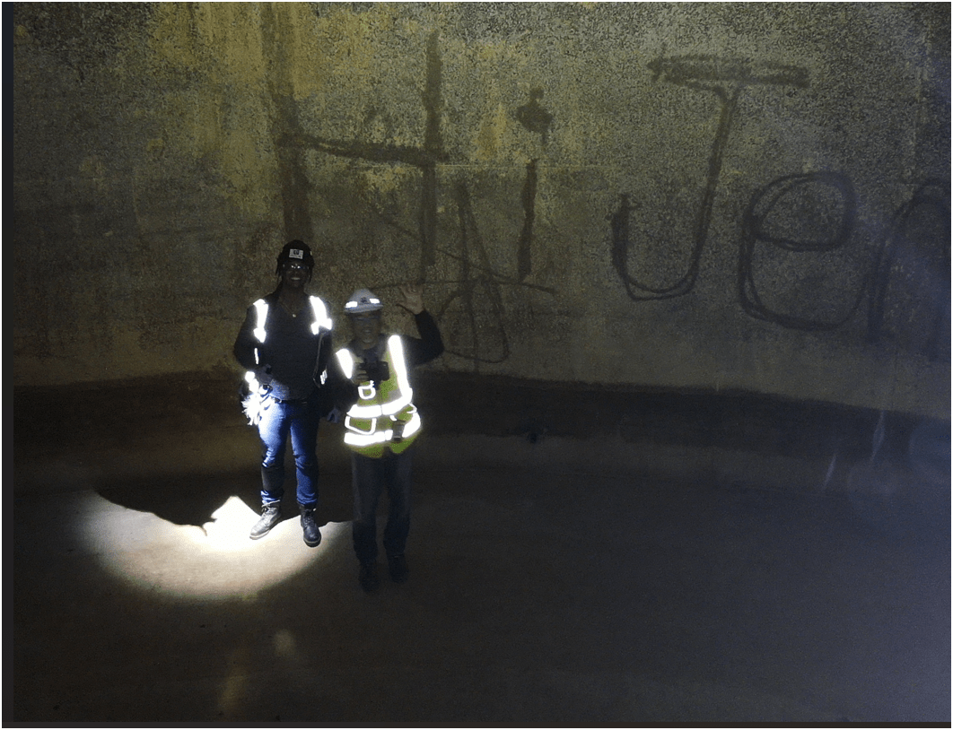
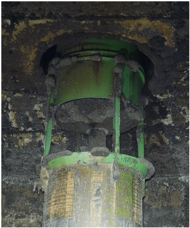
Inspecting Inside Digester
Why Use Drones?
3. Effective - Producing Results
- Update 2D aerial map
Examples - Effective

- 1172 Photos
- 0.57in/px
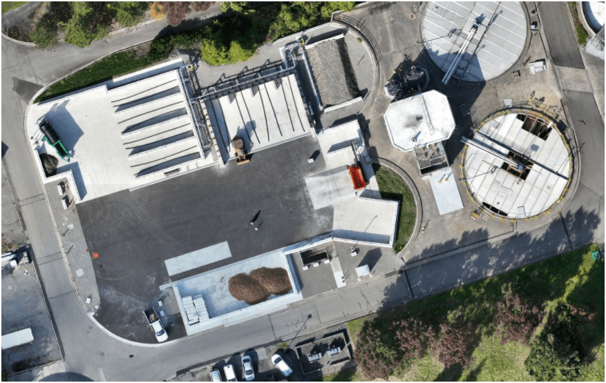
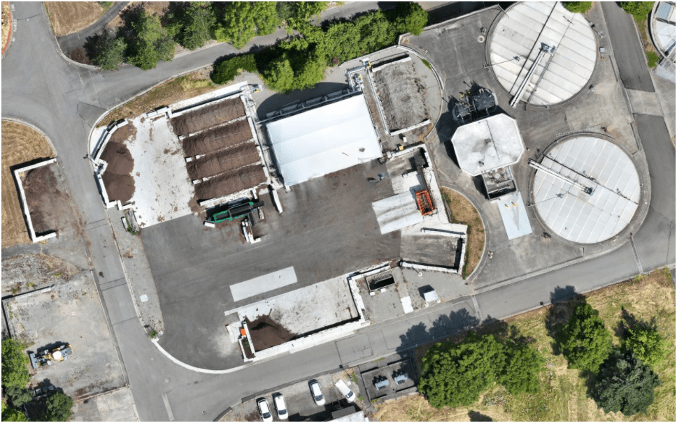
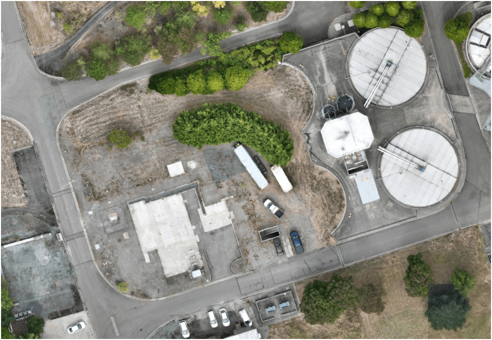
3. Effective - Producing Results
Sep 2023
Oct 2024
June 2025
Compost LOOP
pilot-project
- Monitoring & Mitigation (ECSS)
March 2022
April 2024
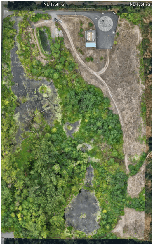
August 2025
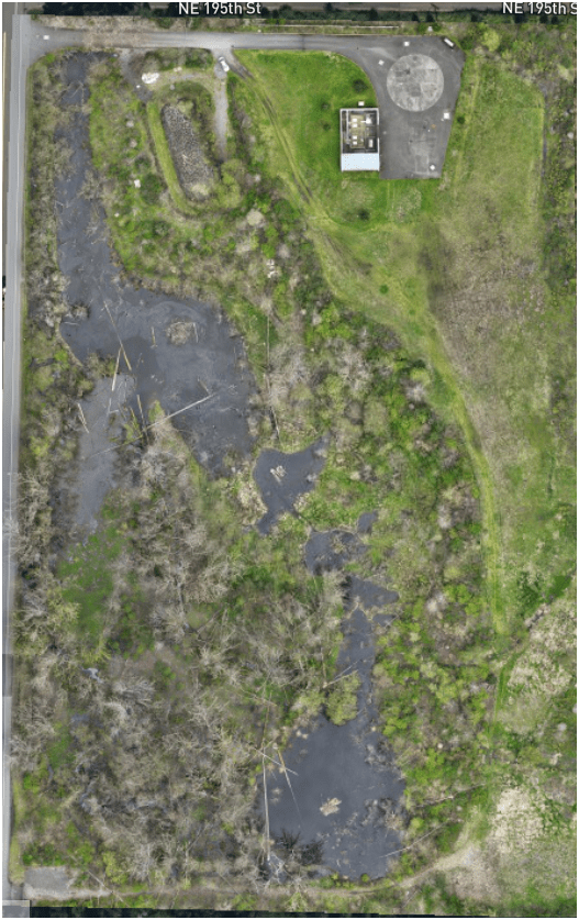
3. Effective - Producing Results
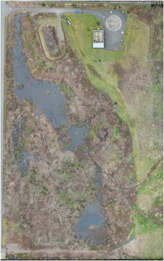
- Construction Site Monitoring
3. Effective - Producing Results
- Construction Site Monitoring
3. Effective - Producing Results
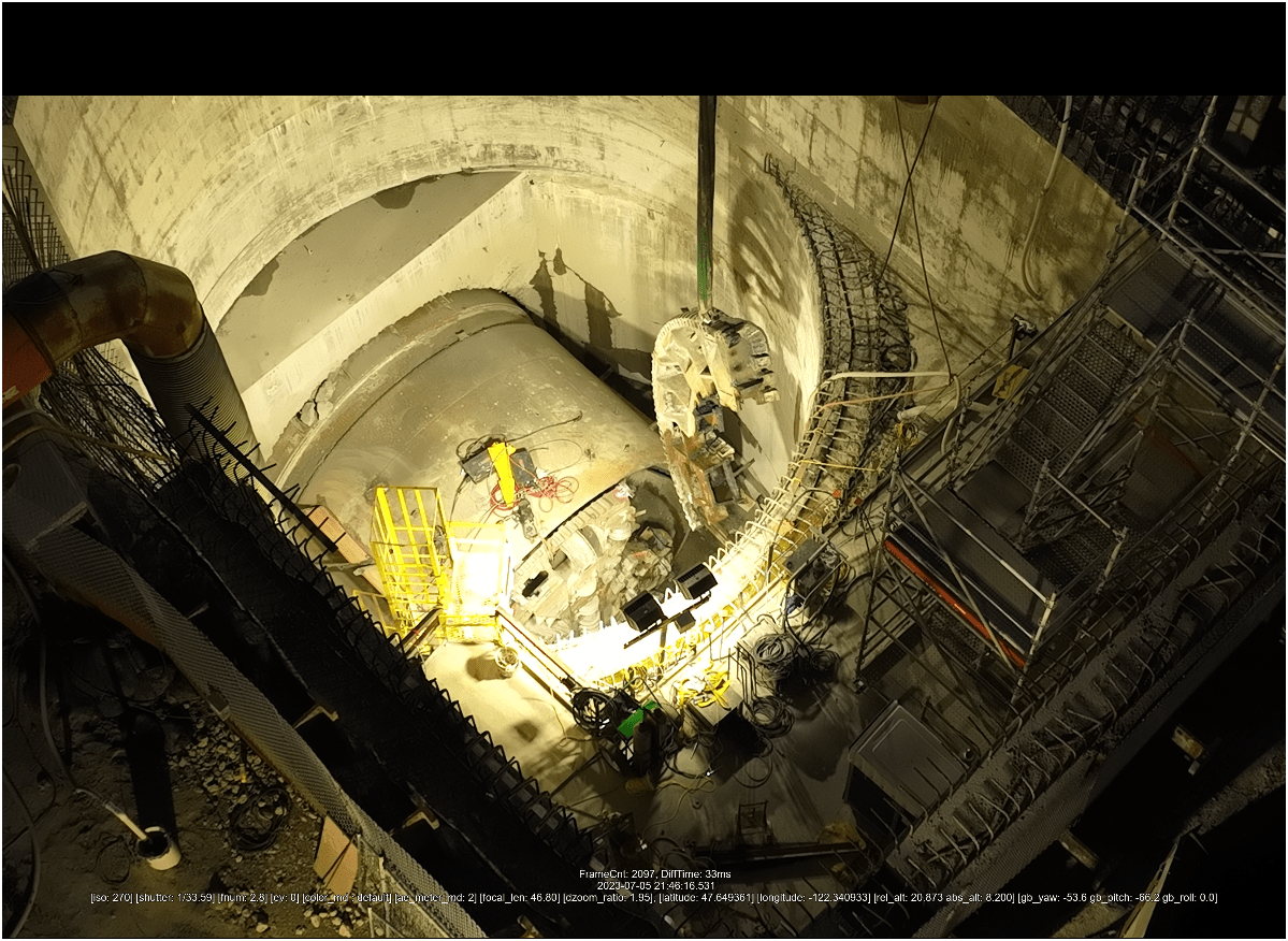
Ship Canal Water Quality - TBM (2023)
3. Effective - Producing Results
Ship Canal Water Quality - TBM
3. Effective - Producing Results
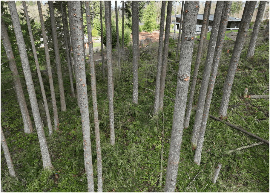
Helping KC Parks
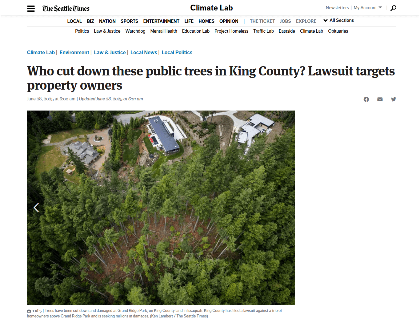
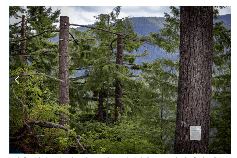
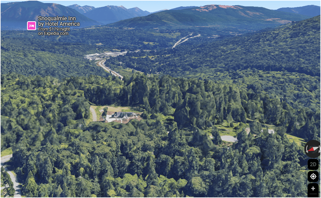
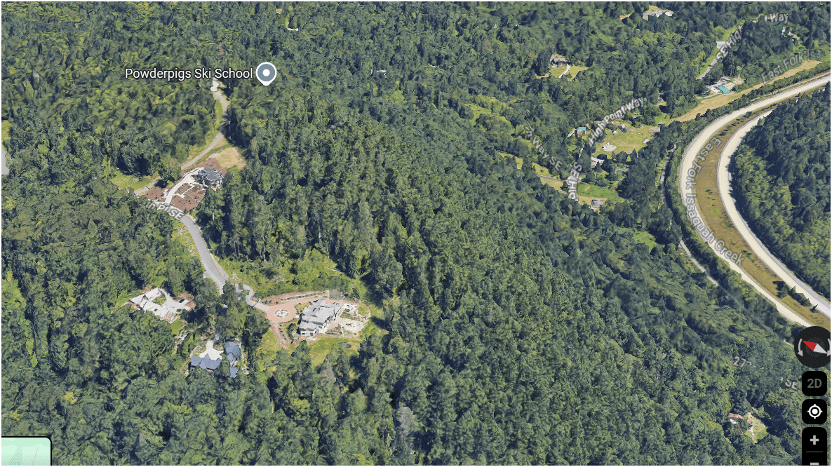
Helping KC Parks
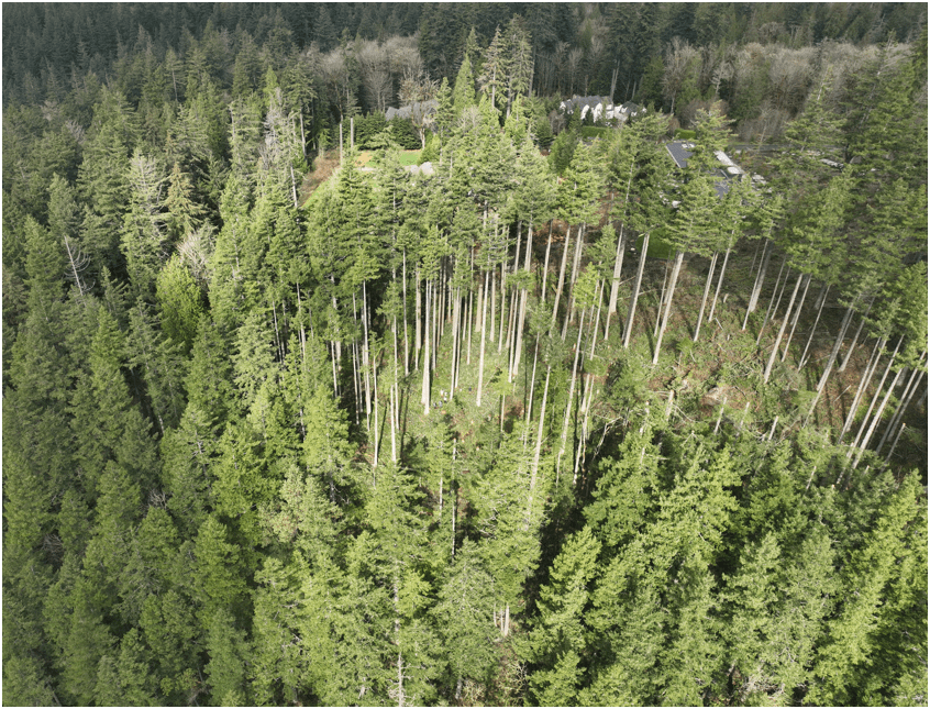
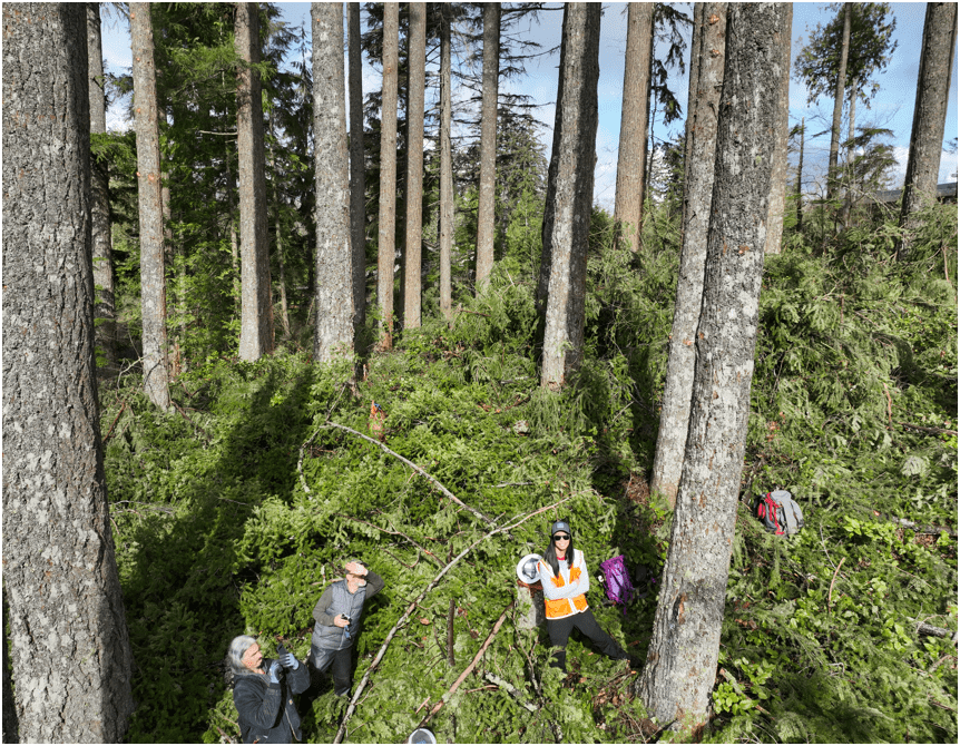
Building Drone Program
E3S3
-
Small
-
Share
-
Structure
WHY
-
Easy
-
Efficient
-
Effective
HOW
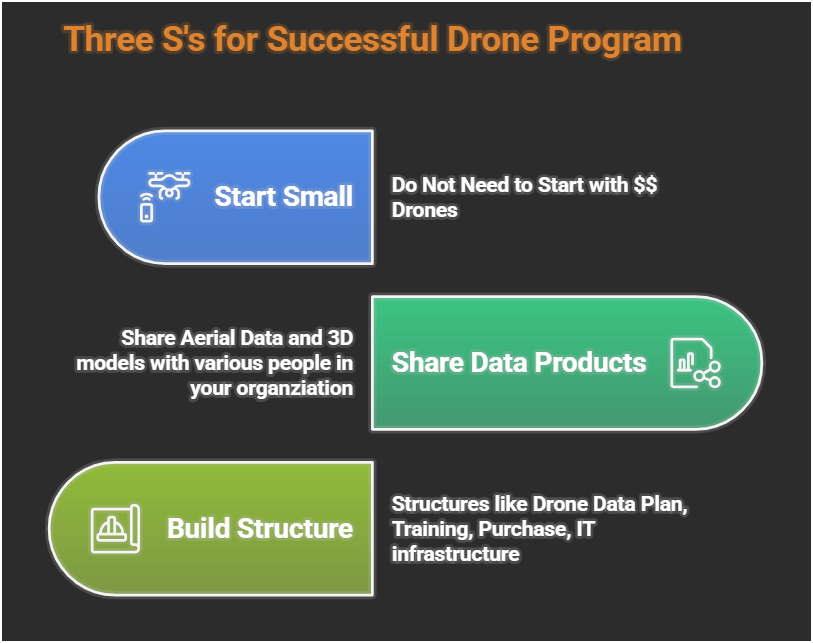
WHY?
- Ensure Continous Operation
- Support Capital Delivery & Maintenance
DJI Mavic 2 Pro (1)
Mavic 2 Ent. Adv. (1)
Mavic 3 Ent (2)
2021
2022
2023
Matrice 4 Ent. (1)
2025
Total: < $22,000
-
Small
-
Share
-
Structure
S3: Small
$1,800 (Retired)
$6,500
$3,800
$5,300/
$8,500
Latest Hardware
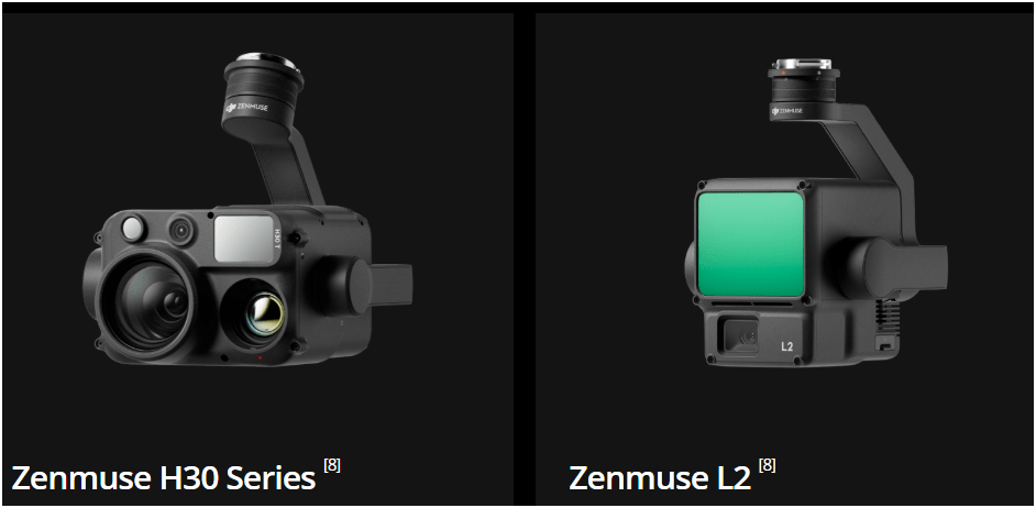
$11,000
All WEather
RGB Camera
~ $10,500
Lidar Sensor
~ $ 17,500
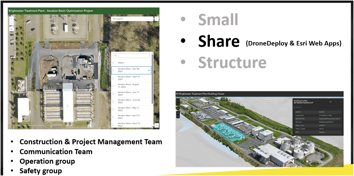
S3: Share
WTD Examples: 2D Aerial
Brightwater Treatment Plant - Construction Aeriation Building
Examples - Integrating with GIS
Examples - Integrating with GIS
Examples - Integrating with GIS
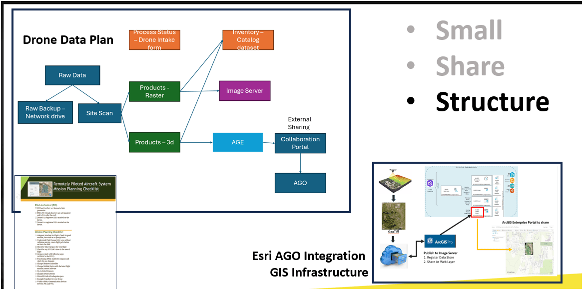
S3: Structure
Check List
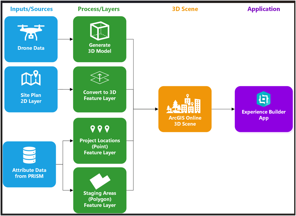
Workflow Development
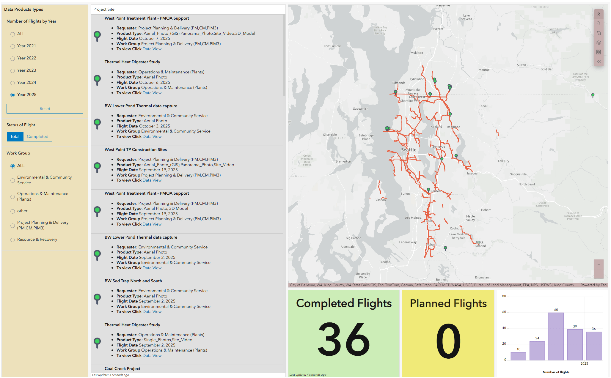
WTD Drone Dashboard
KC Wastewater Treatment Drone Program
People
+
Technology
+
Organization
=
Drone Program
Proof Of Concept
Lidar SLAM (Simultenous Localization and Mapping) Handheld Unit
Proof Of Concept
Lidar SLAM Handheld Unit
Examples
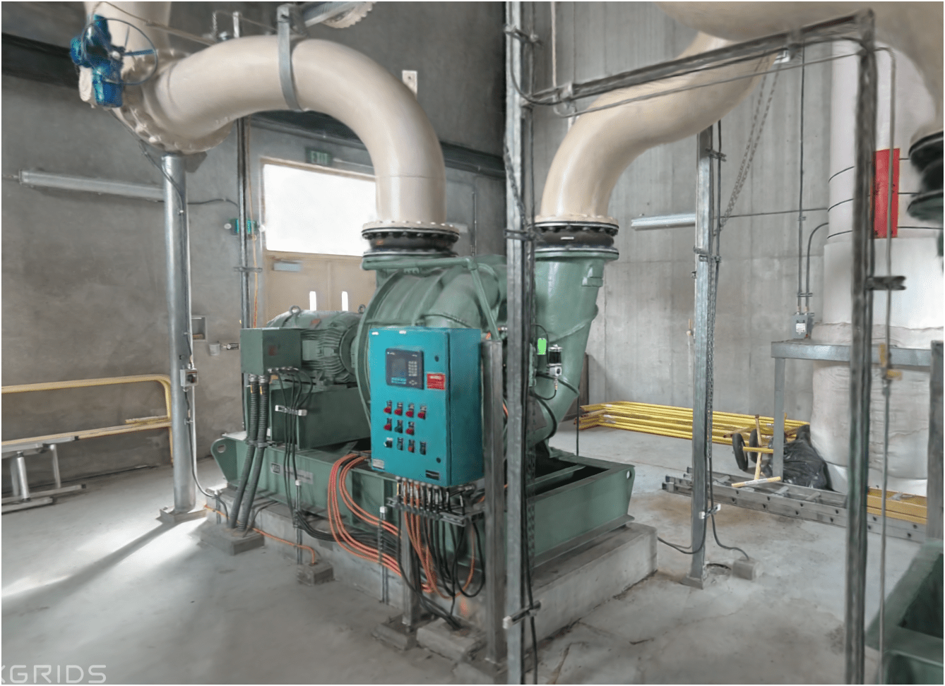
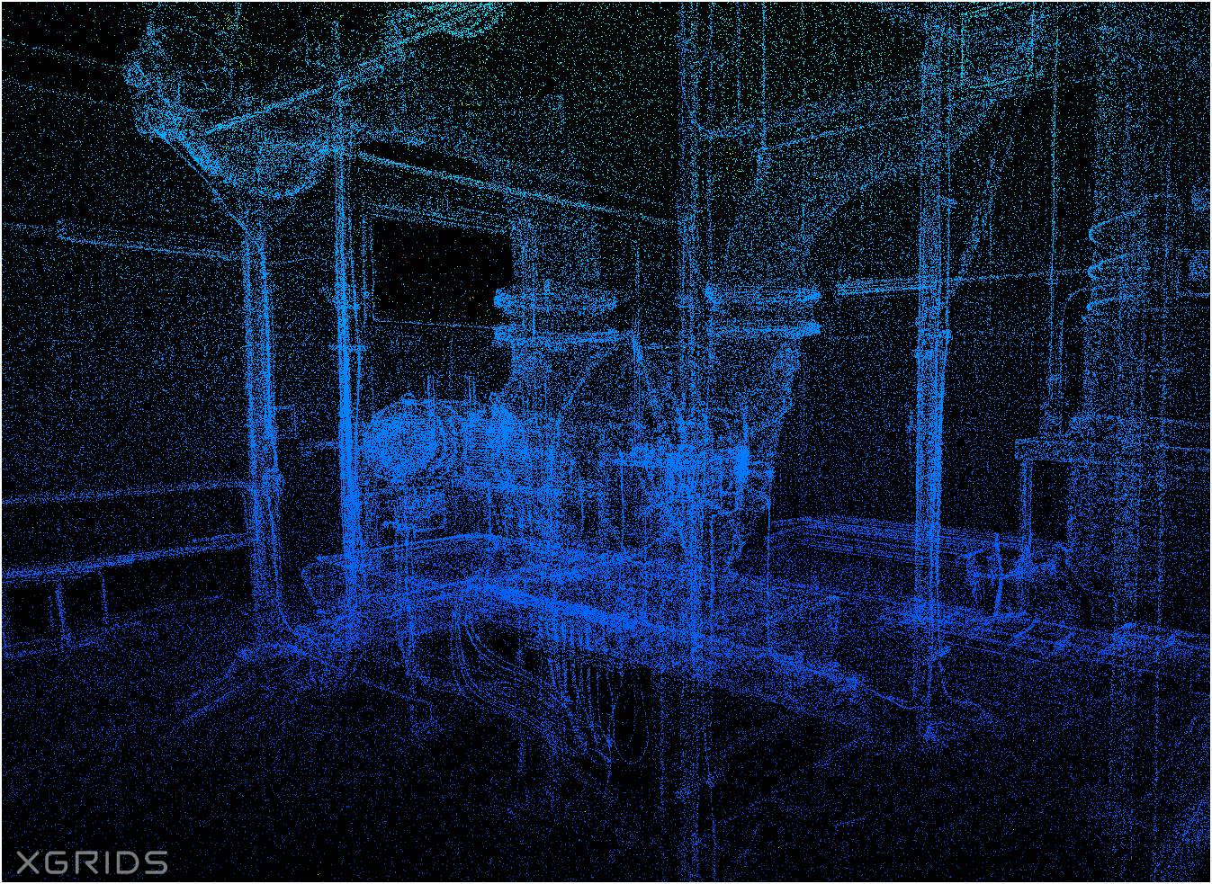
Proof Of Concept (new)
(Lidar data + Camera photo ) x Gaussian Splatting = below

WHOA!
Just another tool in the toolbox


Famous Original Quote
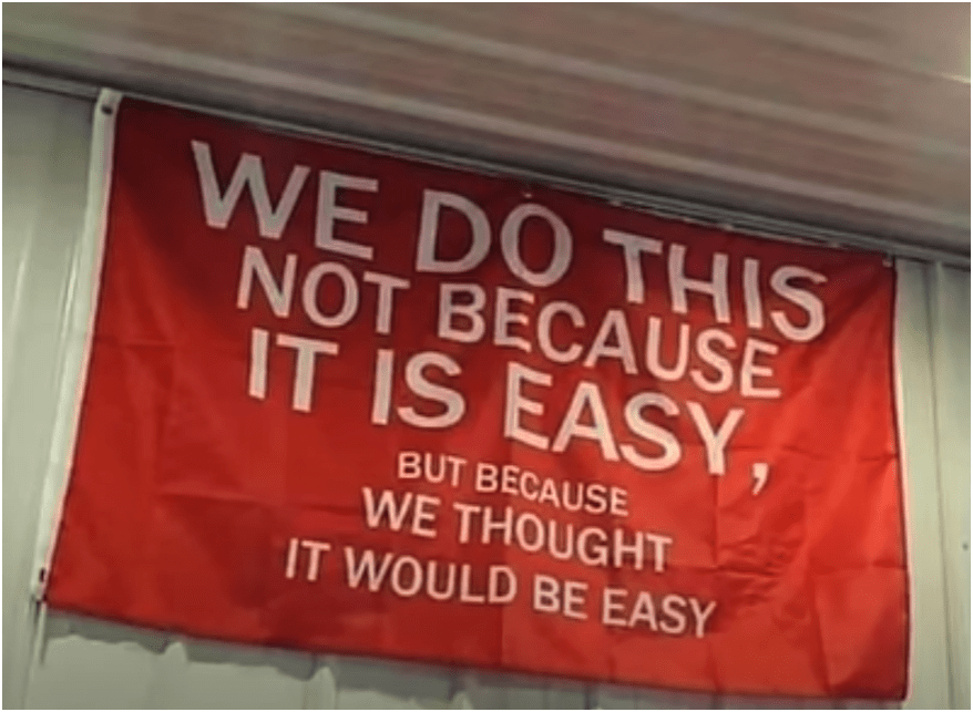
They Both are RIGHT!

peter.keum@kingcounty.gov
Project Examples
Environmental Monitoring
Project Managment
Story Telling
2026 King Count Wastewater Treatment Division
By Peter Keum
2026 King Count Wastewater Treatment Division
Presentation for Gwangju Inst. of Technology regarding GIS/Drone program in Oct 2026