King Coumty WTD Drone Program
We Came, We Flew, We Mapped..
Peter Keum, (MS, GISP)
Drone Program Lead/GIS Analyst
October 21, 2026
한국환경공단 부산울산경남환경환본부





CUGOS

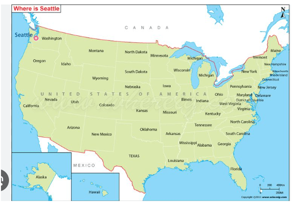
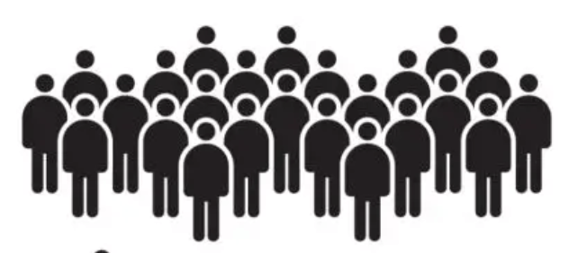
Washington State - 8 Million People (800 만 명)
(13th most in the country)
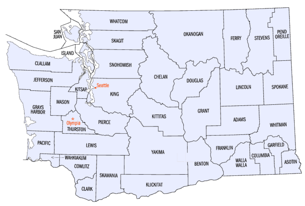
King County of Washington
- 2.3 Million People (230 만명)
- 13th Populus in the US out of 3,000 Counties (군)
- Seattle is the Most populous city in the State
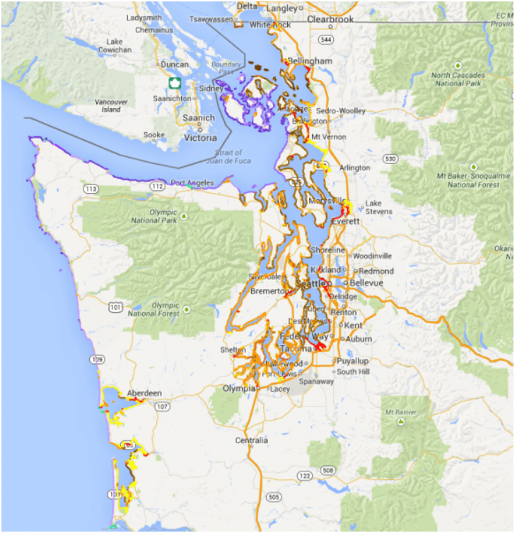
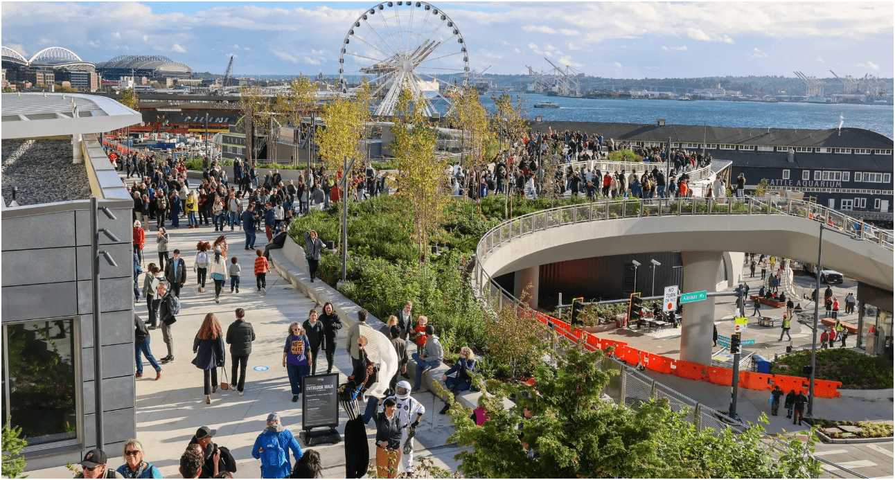
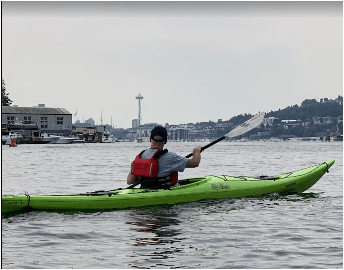

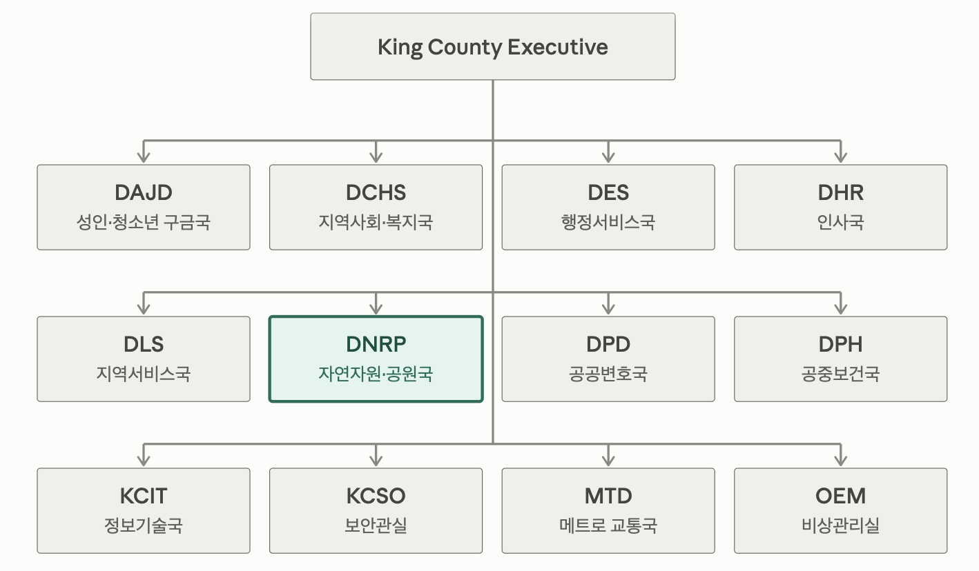
~18,000 Employees
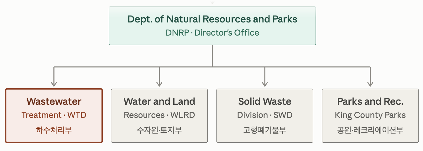
~900
~ 350
~ 525
~ 400

(GIS) Geographic Information System
Wastewater Treatement Division GIS Team

-
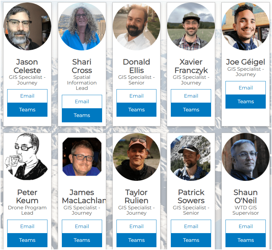
10 GIS Specialists
-
4 FAA Certified Pilots
-
3 Studying to be Certified
Supervisor
383
2,000,000
(2 Million)
15,000
178,000,000
(178 Million)
Guess ??
1억 7,800만
200 만
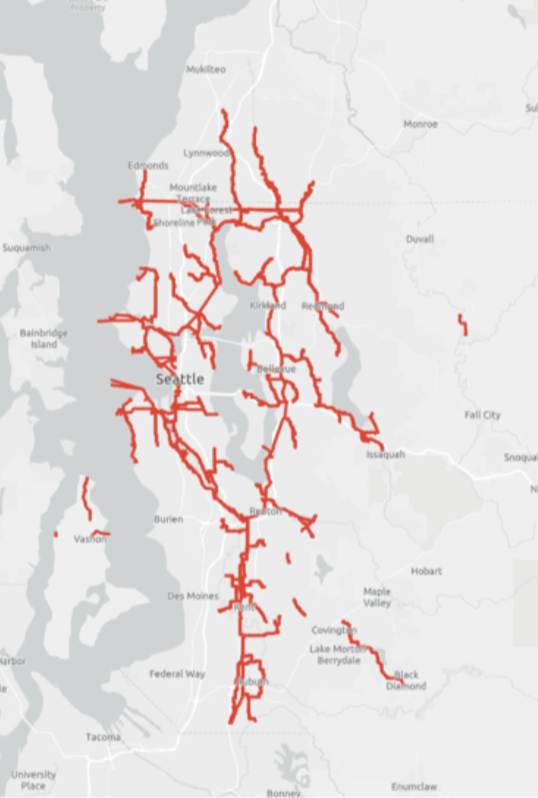
383 Miles
of Pipe
2,000,000 (2 Million) People / 200 만명
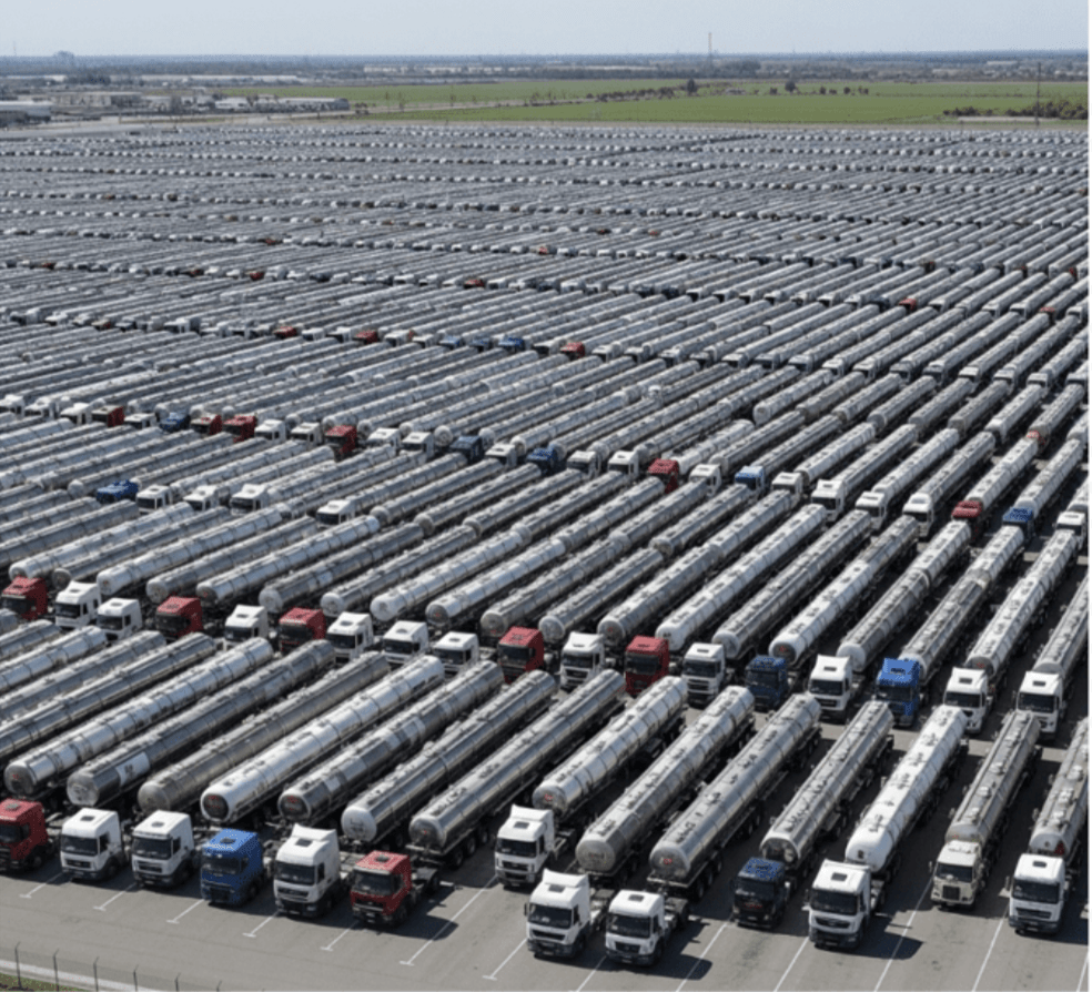
15,000 Trucks
178,000,000 (178 Million) MGD (Million Gallons/Day)

6억7,300 만 liter

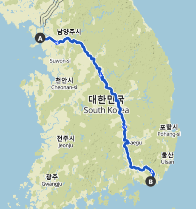
616 Km

King County Wastewater Treatment by Numbers
- 200 만명, 2 million residents
-
424 square miles (~ 1,100 km2)
-
383 miles sewer pipeline (2.5 inch to 14 ft) (6.3cm ~ 4.2 m)
-
614 km of sewer pipleline
-
74 facilities (PS & RS)
-
3 Treatment Plants: 180 MGD ~ Max. 460 MGD
-
~ 680,000 (68 만) cubic meters per day (𝐦𝟑/𝐝𝐚𝐲) to 1.7 million (170만) cubic meters per day (m3/day)
-
$5 Billion ~ 6조 6,600억 원
Four River Bike Trail (633 km)
Seoul --> Busan
WTD GIS
Maintain Sewer GIS Data
-
FIRS (Facility Information Retrieval System) Data
- Maintenance Hole
- Pipes
- Pump Stations
- Regulator Stations
- Treatment Plants
- Outfalls
- Flow Monitors
- CP Stations
- Connection Points
- Site Plan Data
- 3D Models
- Drone Collected Data
- .... many many more

WTD
GIS
DATA
GIS Data:
The core of a GIS is its Database
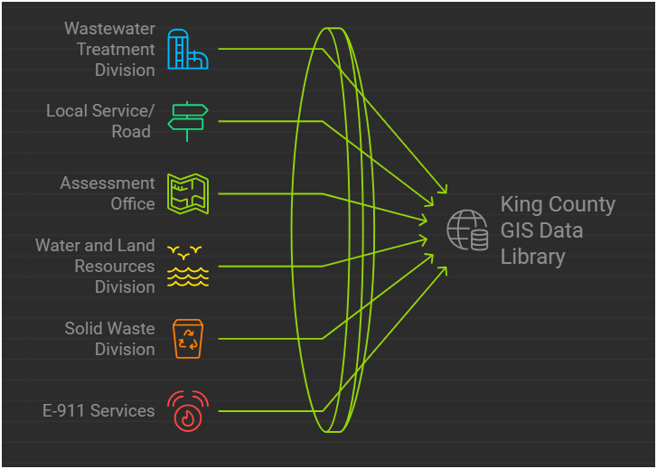
BUT.....There are 17 county agencies support
King County GIS Data Library System
WTD
GIS Data:
The core of a GIS is its Database
Why Use GIS?

GIS
Decision Makers
데이테
정보
지식
인사이트
지혜
의사 결정자
Program Support
- CSO (Combined Sewer Overflow) Control Program
- Modeling Group
- CIFM (Conveyance, Inspection, and Flow Monitoring) Group
- Asset Management Program
- Capacity Charge
- ....many other sections


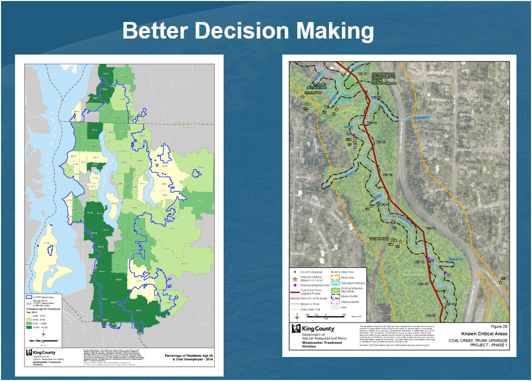
Projects & Programs Support
WTD GIS
Lake Hills / NW Lake Sammamish


Georgetown Wet Weather Station


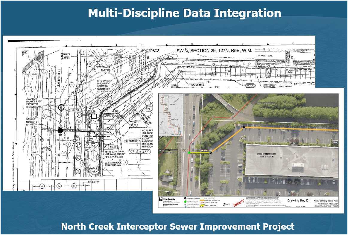
Projects & Programs Support
WTD GIS
1. Aircraft + Sensor (Data Collection)
2. Data Processing & Analyzing (GIS)
3. Information Products
=
+


1. Platform + Sensor (Data Collection)
2. Data Processing & Analyzing (GIS)
3. Information Products


Drone

GIS
Great Combo?
&
Great combo !
GIS & DRONE


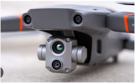
DJI Mavic 2 Pro (1)

Mavic 2 Ent. Adv. (1)

Mavic 3 Ent (2)

2021
2022
2023
Matrice 4 Ent. (1)
2025
Total: ~ $27,000
(3,600 먼원)
Latest Hardware $41,000 (5,400 만 원)

$11,000
All WEather
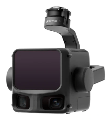
L3 - lidar
~ $ 18,000
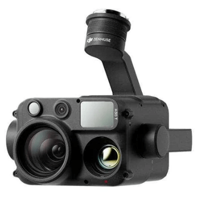
H30T - Thermal
~ $ 12,000
KC Wastewater Treatment Drone Program

People
+
Technology
+
Organization
=
Drone Program
- Environmental Monitoring
Examples - Effective
August 2022
March 2022


April 2023
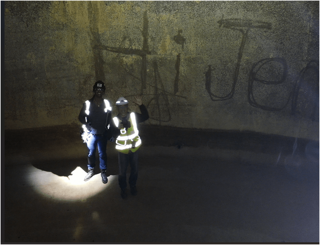
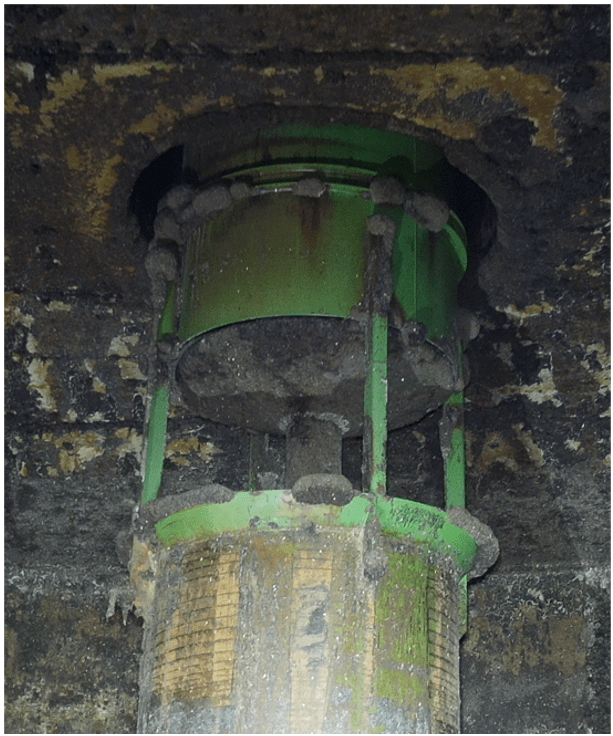
Inspecting Inside Digester
0.50 in/px
June 2025
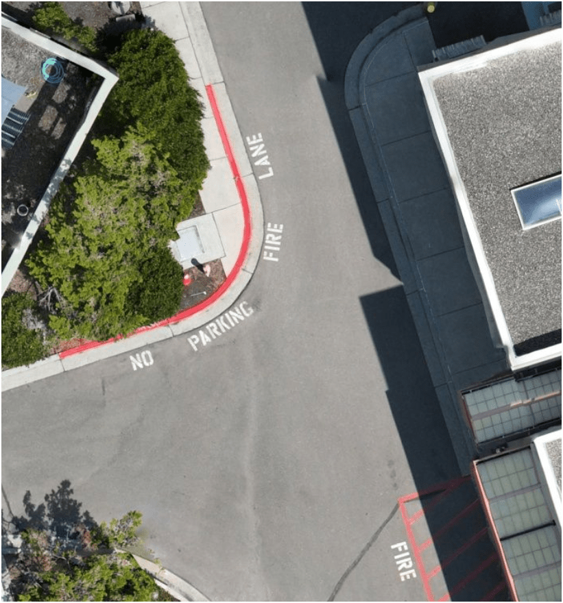
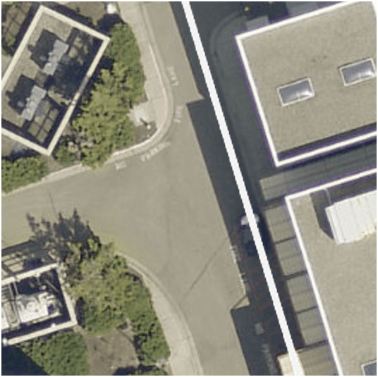
6x time the resolution
(from KC Aerial Imagery - June 2025)
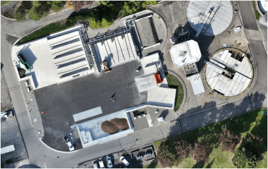
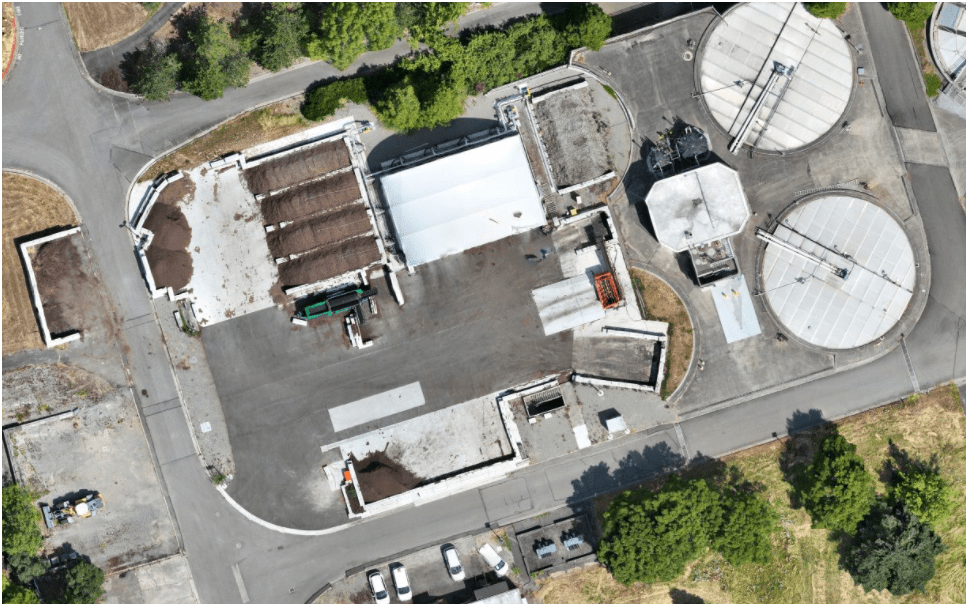
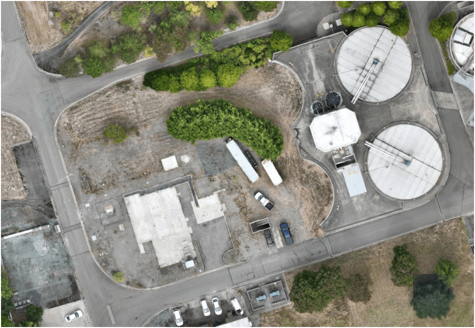
3. Effective - Producing Results
Sep 2023
Oct 2024
June 2025
Compost LOOP
pilot-project
Construction Site Monitoring
3. Effective - Producing Results
E3
Ship Canal Water Quality - TBM
3. Effective - Producing Results
E3
- Construction Site Monitoring
3. Effective - Producing Results
West Point Treatment Plant (1966/1996)
Brightwater Treatment Plant (2011)
South Treatment Plant (1965)

END
for now
Thank You
peter.keum@kingcounty.gov
Project Examples
Environmental Monitoring
Project Managment
Story Telling
Presentation for 한국환경단 부산 2026 King Count WTD
By Peter Keum
Presentation for 한국환경단 부산 2026 King Count WTD
Presentation for Korean EPA while visiting KJ in Busan. Short introduction of KC and WTD