


























MAPC PRO
Metropolitan Area Planning Council is a regional planning agency promoting smart growth and regional collaboration for the Metro Boston area.
RPA Workshop
14 Dec 2022
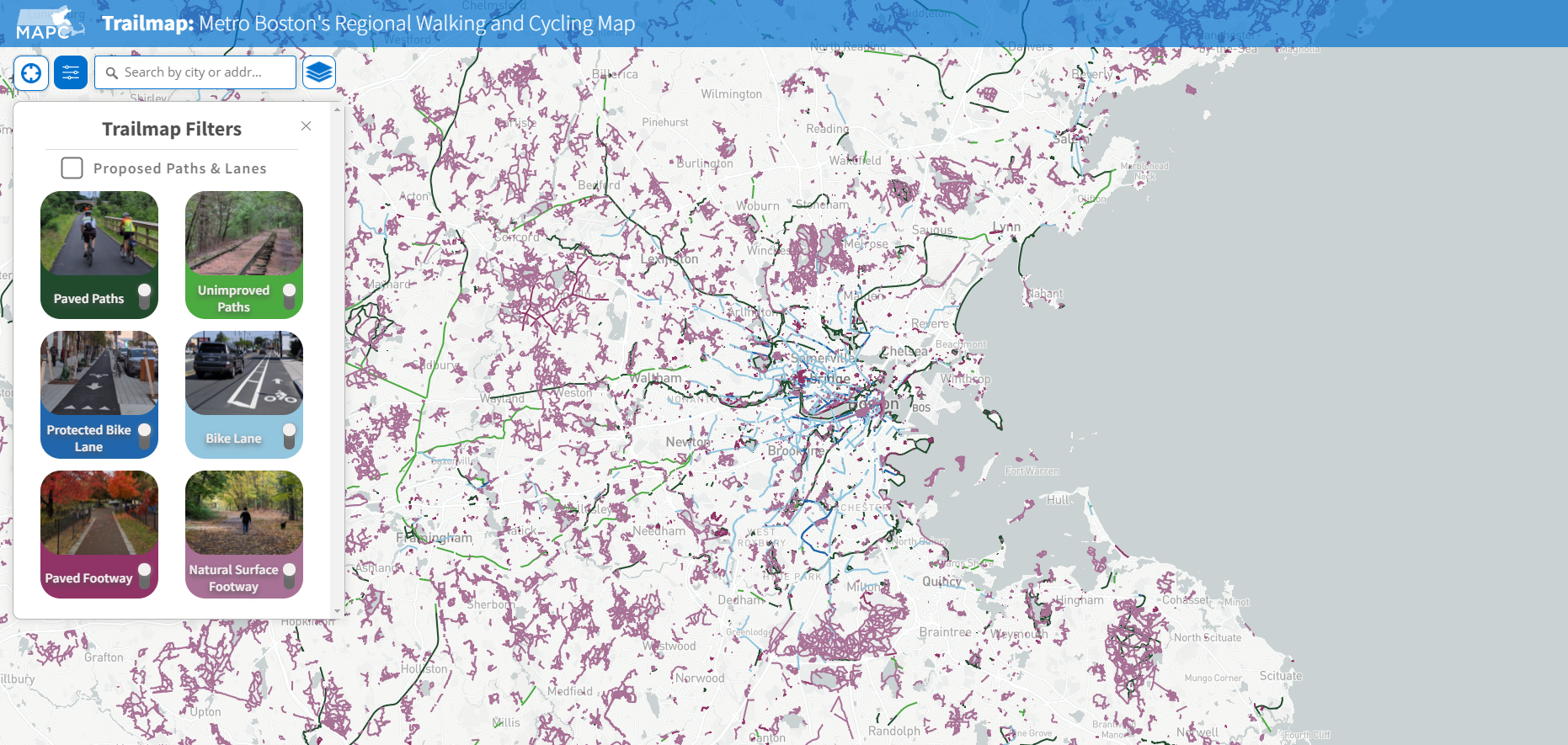
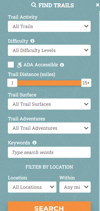
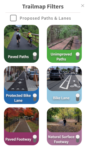
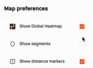
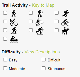
There are many improvements to Trailmap, that could help make progress towards achieving the application's goals
Features
Dataset
Community
Agencies and third parties can build maps and applications off of the database. We can prioritize the needs of users and creating features in applications that meet those needs.
Standards and open availability will help the dataset grow. Leveraging tools that help lower maintenance cost and broaden the community.
Like a houseplant to survive it needs to be watered. Regional Planning Agencies together can play a critical role in achieving a comprehensive and up-to-date dataset
trailmap.mapc.org
web services survive when cared for
Collaborative open source communities are relied on, to care for many of the key components that underpin the web's services
There are a number of tools that help facilitate collaboration
by lowering the cost of coordinating
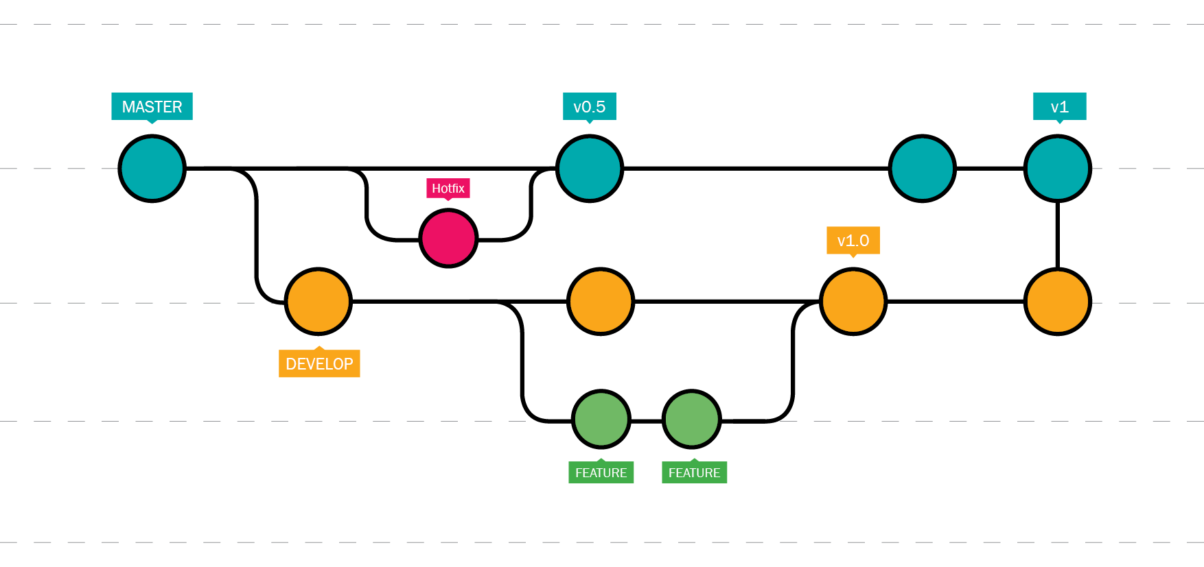
Well one magic weapon that is available to support collaboration is track changes on steroids... git
Version control is key to quickly managing and resolving edits. It allows for lowered coordination costs and high value of return.
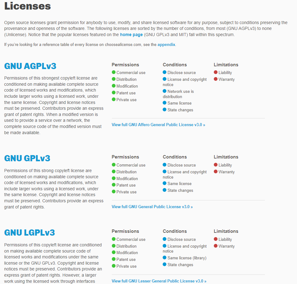
Another is agreements & licensing. Documenting and articulating governance is an important component to structuring a community.
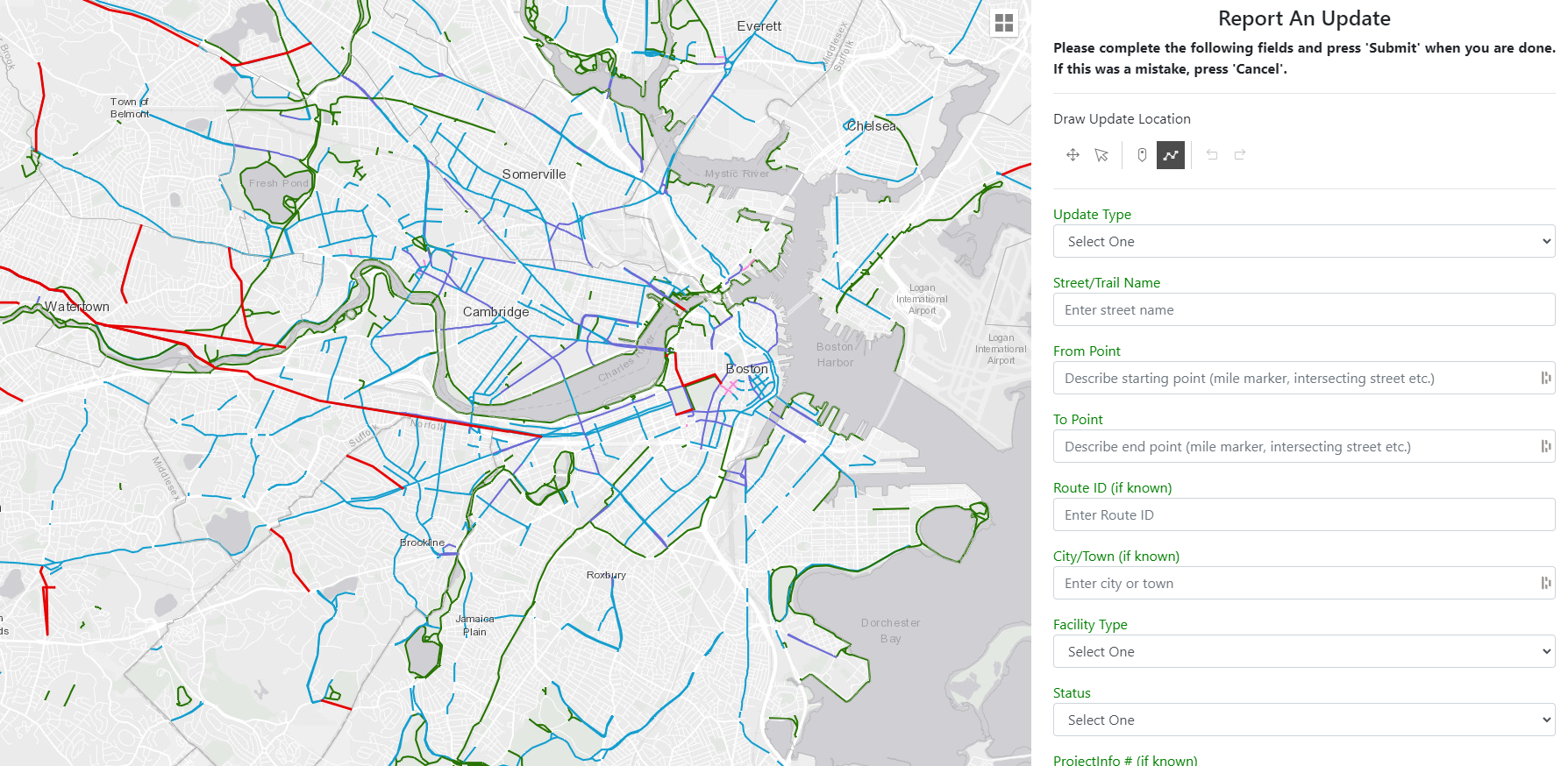
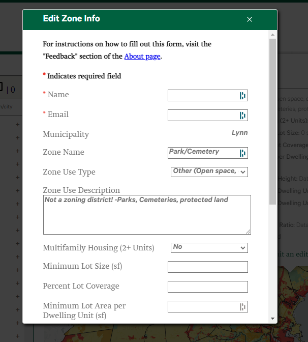
Often we fill out forms to tell of edits.
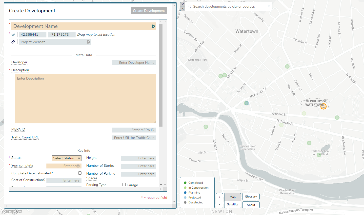
How do we make more "Show...Not Tell"?
Editing Together
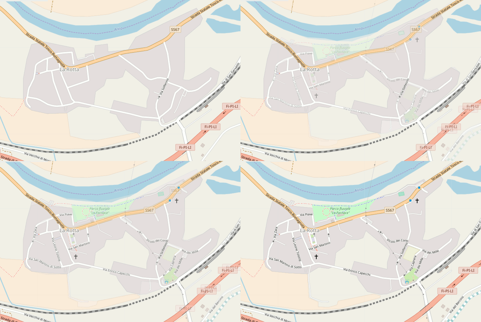
Example of Spatial Editing
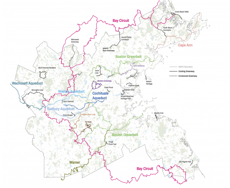
Together as a community, we can maintain an up-to-date, comprehensive dataset of all trails and paths in MA
it's all about the data
We have touched on the tools that allow for a community to collaborate & edit a dataset.
If data is open, standard, and available... new possibilities arise.
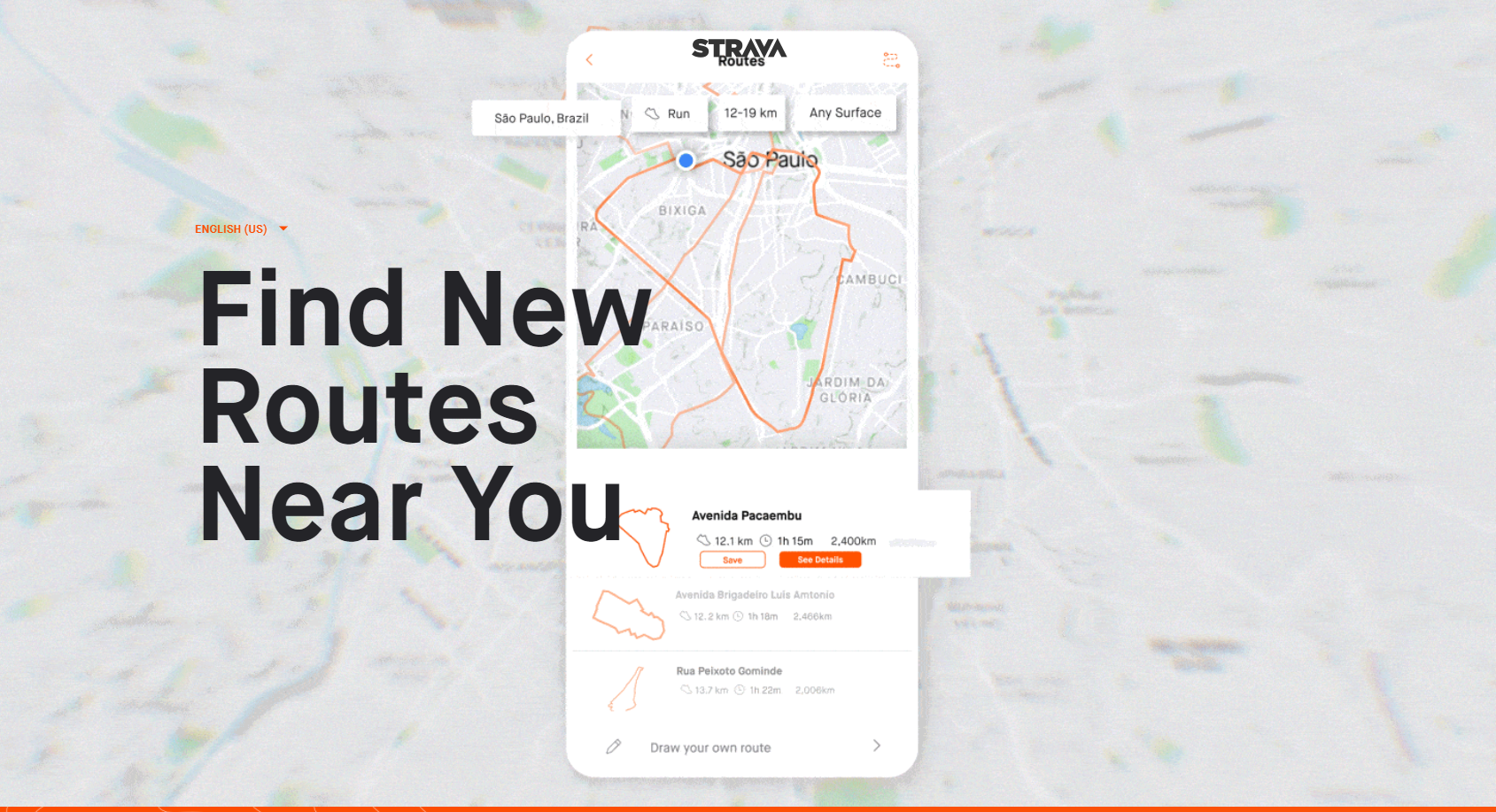
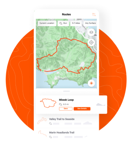
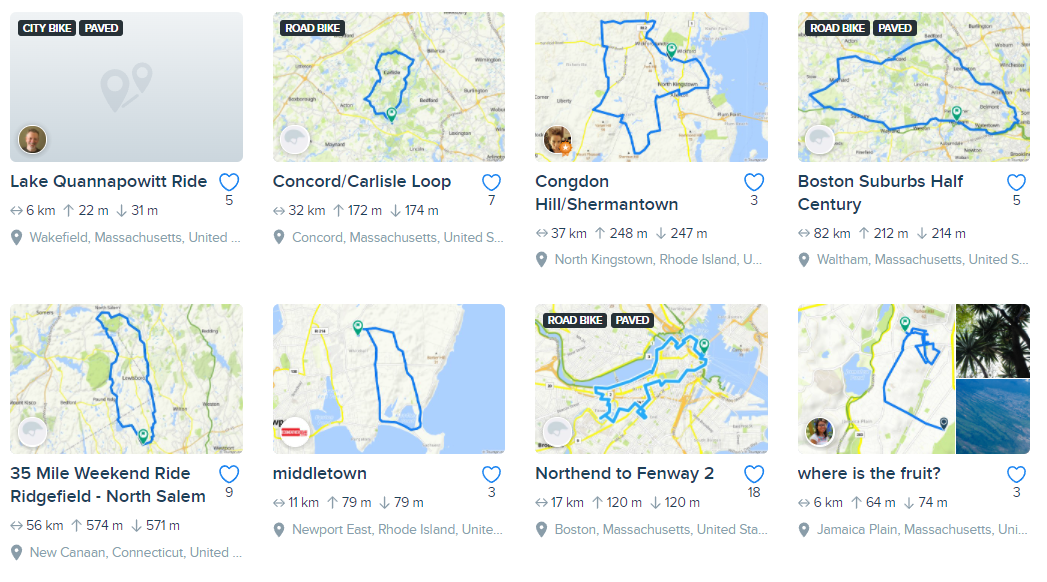
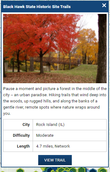
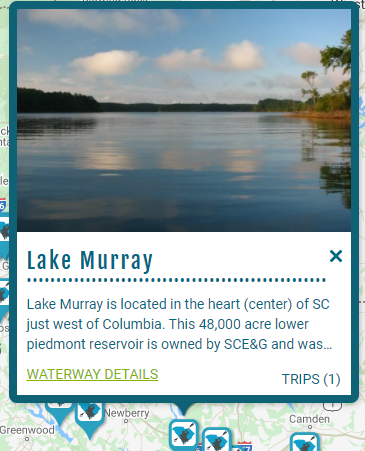
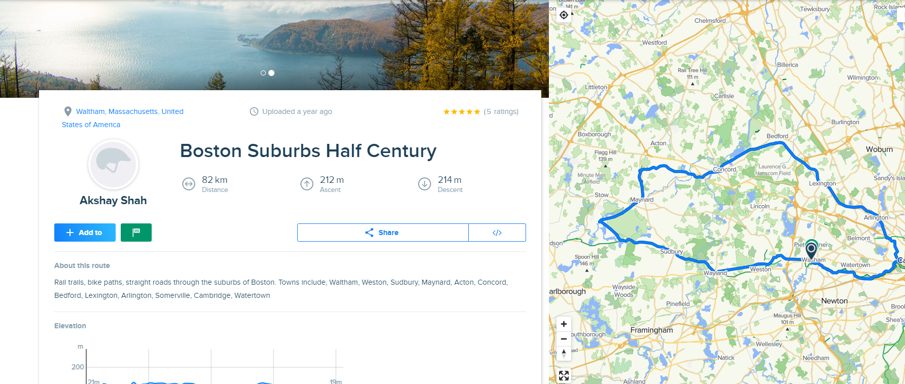
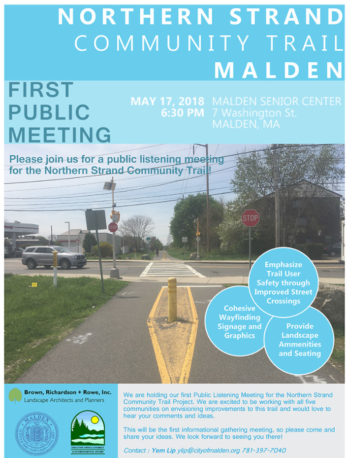
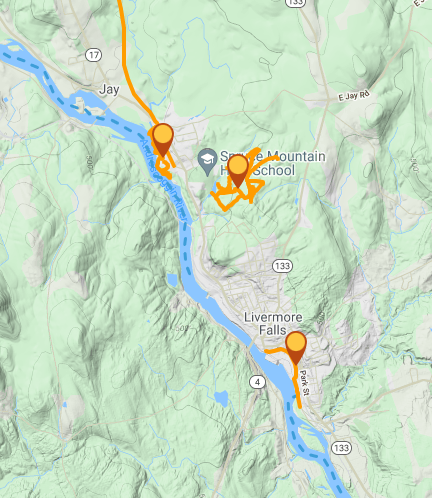
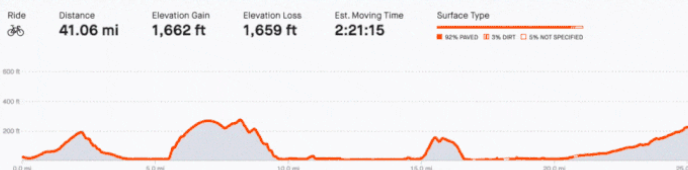
If open, standard, and available, additional parties can leverage the data to reach the residents and help them planning outdoor trips and activities
If open, standard, and available,
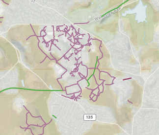
not just private parties would benefit if leveraged it could inform:
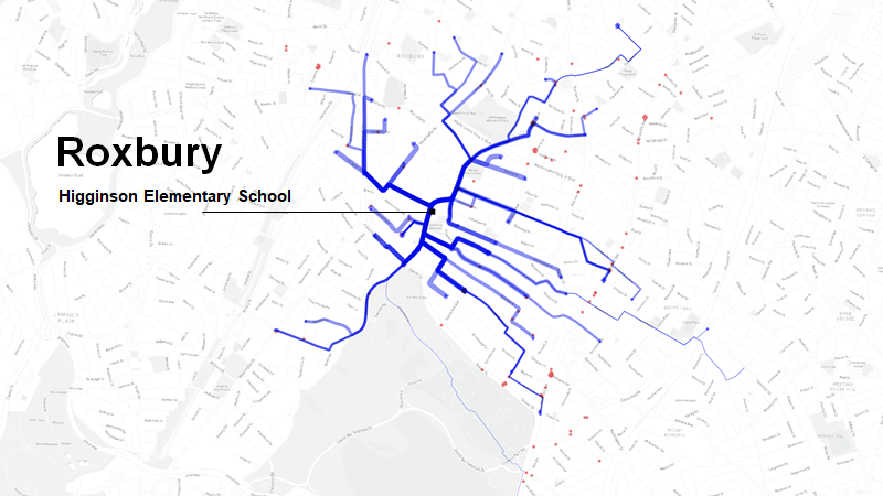
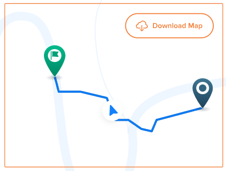
Blue = Predicted route to school bike/walk commutes
School Commute Infrastructure Planning
Comprehensive Plans
Network Analyisis
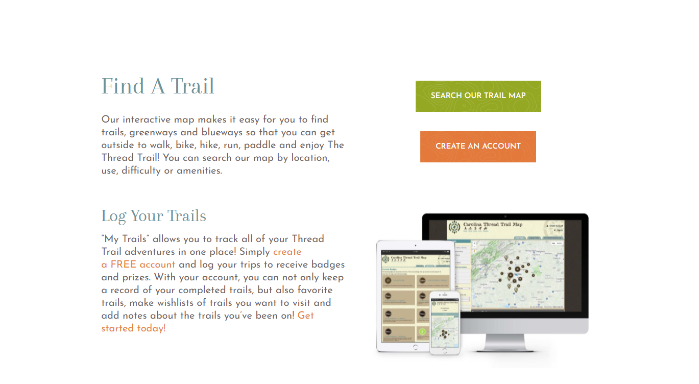
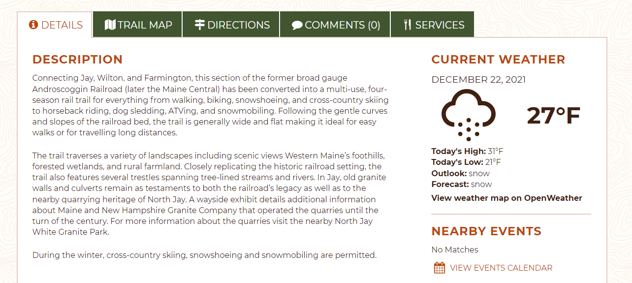
What about improving what users see... the "light fixtures".
By MAPC


